
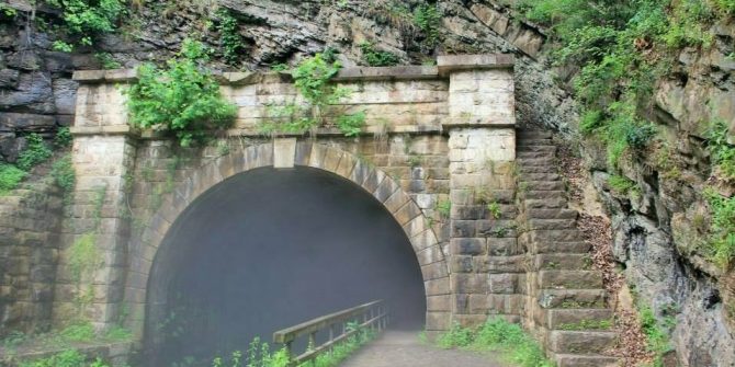
Explore Your Canal
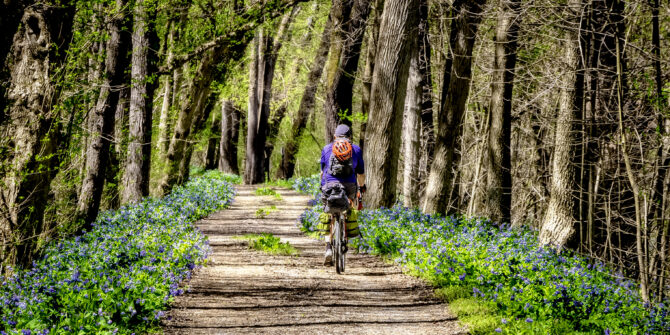
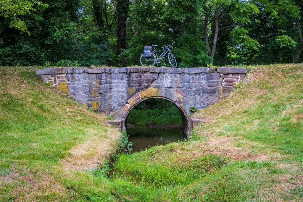
There are 184.5 miles of towpath and over 20,000 acres of Park land to explore in the C&O Canal National Historical Park. Use our Plan Your Visit website to explore the canal — soon, this website will also be available on our C&O Canal Explorer mobile app!
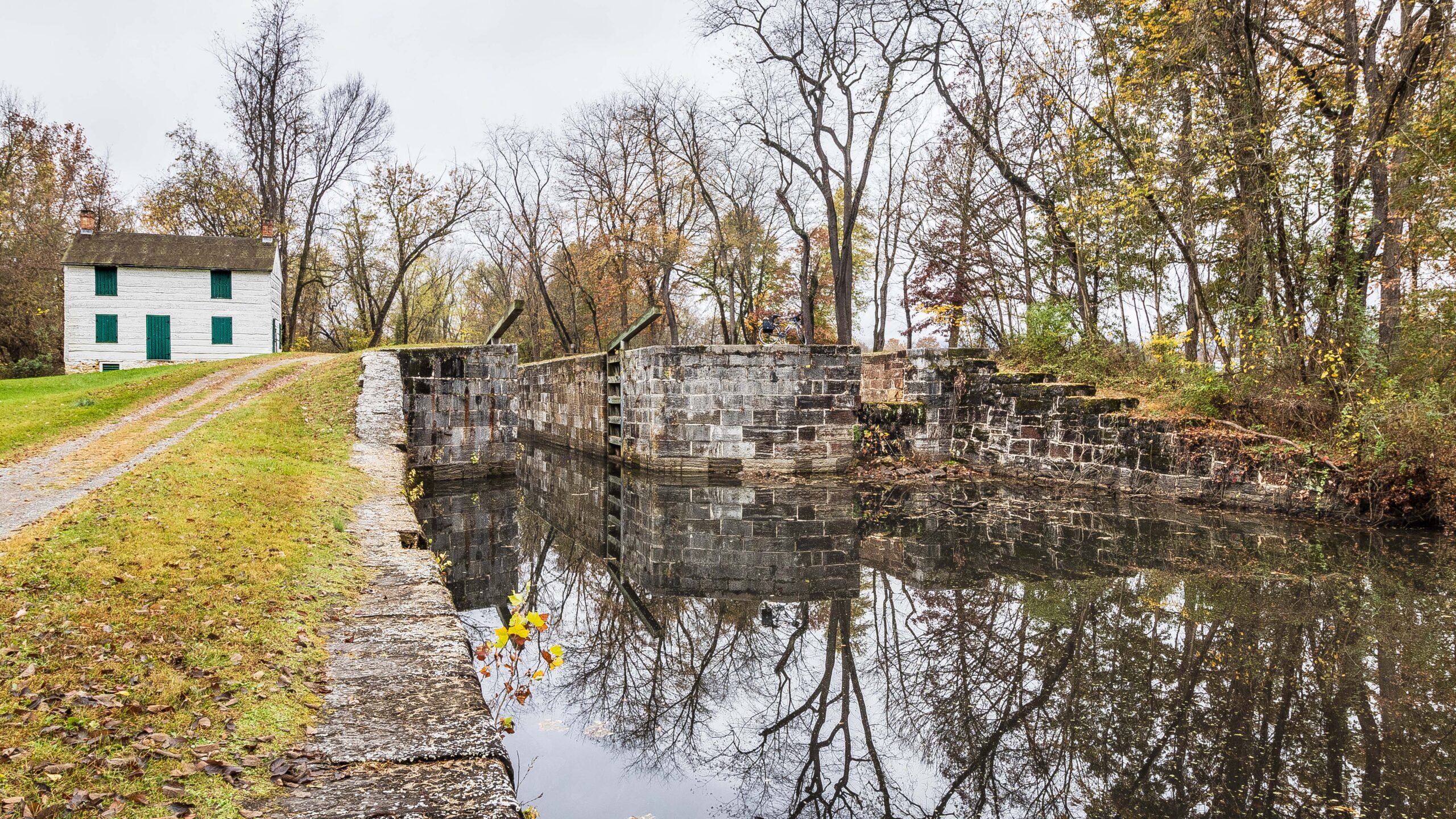
Ideas for You to Explore


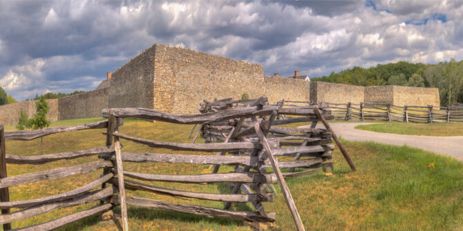


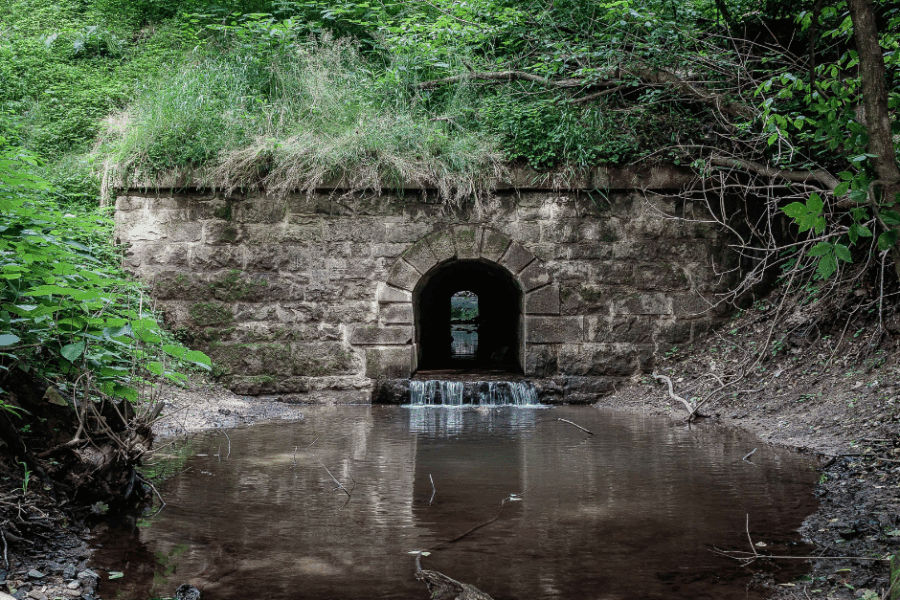
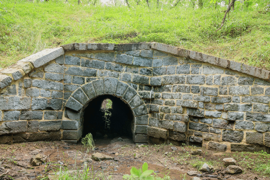
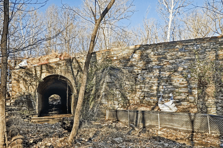

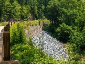
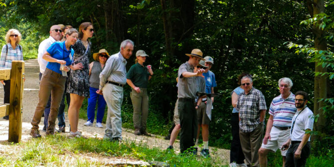
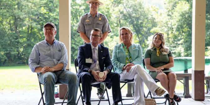
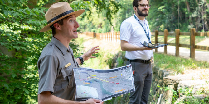
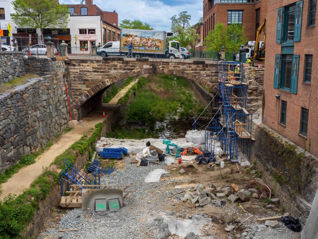
July 11, 2025, marked the celebration of the completion of the Log Wall, a historic drylaid stone wall, stabilization near the Carderock Recreation Area. This major $11.4M infrastructure project was made possible through the Great American Outdoors Act (GAOA) Legacy Restoration Fund. The stabilization focused on an approximately 1,015 linear foot long historic drylaid stone wall, which varies in height up to 35 feet tall. The wall was originally constructed between 1828 and 1831 and is often referred to as the “Log Wall,” as found in an 1890 Engineer’s Report.
The project began in 2023, following the formation of sinkholes in 2015 and 2016 above the Log Wall. These sinkholes led to the dewatering and sandbagging of the canal to preserve its structural integrity. The resulting damage left a vital section of the towpath at risk of failure, disrupting the park’s continuity and recreational opportunities. Additionally, the sinkholes increased the vulnerability of the Potomac Interceptor Combined Sewer to potential failures. Installed in the 1960s, this sewer system transports approximately 60 million gallons of combined sewage daily beneath the towpath to a treatment facility in Washington, D.C. A failure of the Log Wall could result in a leak or break in the sewer system, potentially releasing 60 million gallons of raw, untreated sewage into the Potomac River, causing widespread catastrophic damage to the ecosystem and human health.
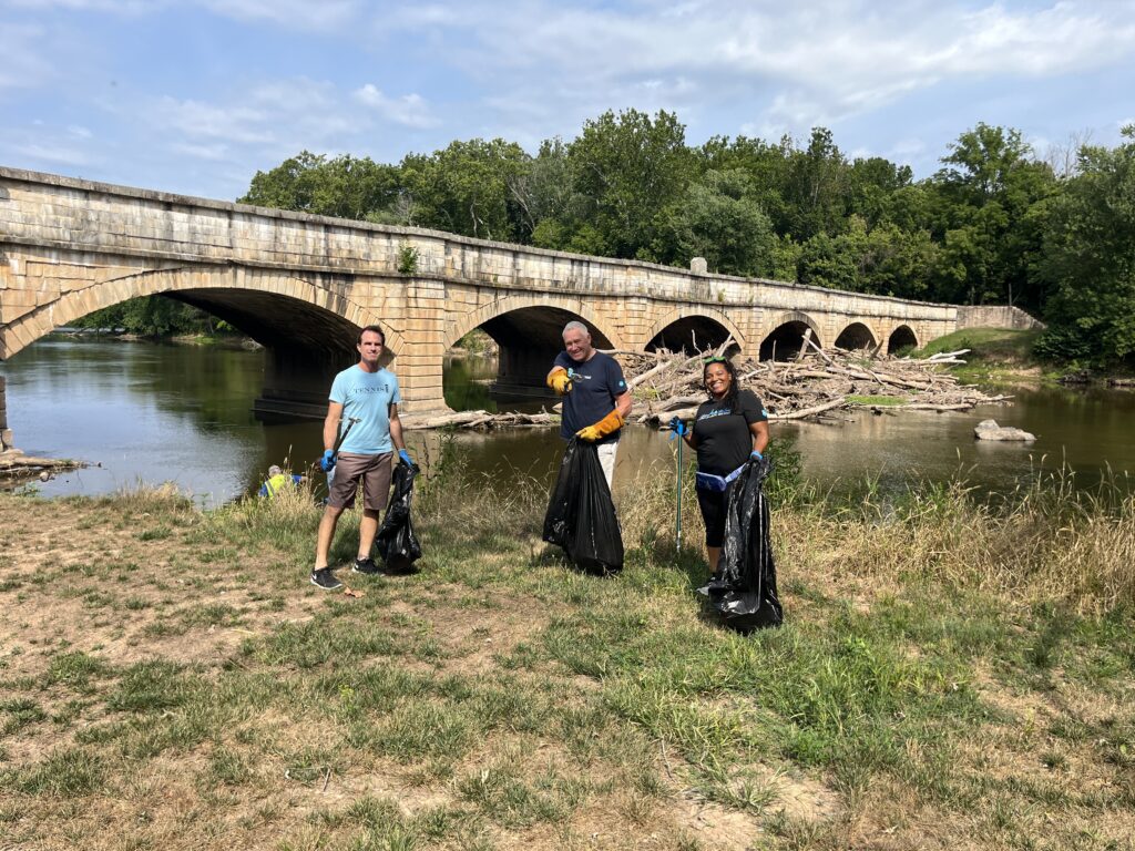
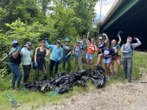
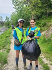
What do water bottles, bike parts, snack wrappers, and plastic bags have in common? They all frequently end up as trash in the C&O Canal! To date, the Trust has removed 4,725 pounds of trash and invasive plants from the park with the help of volunteers and corporate partners. As park visitation and discarded trash surges in the summer months, we are challenging visitors and community members to join us in Plastic Free July!
What is Plastic Free July?
Plastic Free July is a global movement to reduce plastic waste. It focuses on sharing solutions to reduce plastic waste in your local community to create a cleaner and healthier world. It aims to reduce waste globally by the collective actions of many individuals and communities across the world.
Ways to reduce your plastic waste in the park:
- Bring a Reusable Water Bottle
Using a reusable water bottle avoids single-use plastic water bottles that often end up as trash in the park. By planning ahead and identifying refill stations, you can help eliminate this plastic waste. Don’t have a reusable water bottle? You can repurpose a glass jar or bottle for your visit.
- Pack lunch in a reusable container
If you’re bringing lunch or a snack to the park, consider packing it in a reusable container. This avoids single-use plastics and wrappers that can get easily left behind and create trash.
- Choose canned drinks over plastic bottles
Aluminum cans are more easily recycled than plastic bottles. If you’re bringing a bottled drink to the park, consider choosing something a can over a plastic bottle. Remember to pack out your trash and recycle your can!
- Bring a reusable bag
Pack your supplies in a backpack, cloth bag, or fanny pack! Avoiding single-use plastic shopping bags on your trip will help reduce trash in the park.

If you are not able to take any of these actions, that’s okay! The most important thing to remember is to pack out any plastic or trash you bring into the park and dispose of it properly at home. By simply not leaving trash in the park, you are playing a critical role in reducing plastic waste in the park.
Looking to go the extra mile? Consider volunteering with the Trust to amplify your impact! We have many opportunities throughout the year to remove trash and invasive species in various locations along the towpath. Last year, our volunteers removed over 20,000 pounds of trash and invasive vegetation. Check out our volunteer opportunities here: https://www.canaltrust.org/programs/volunteer-programs/
Photos by Trust Staff
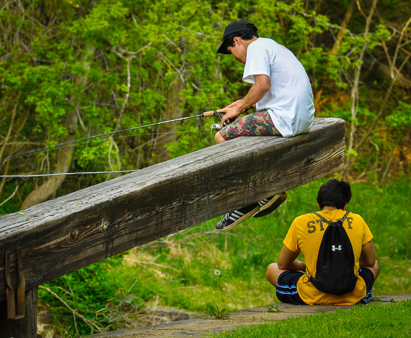
Every June, the banks of the Potomac River come alive with chatter and life as the days warm and lengthen towards summer. Attracted by the cool water and abundant foliage, life gathers to enjoy the pleasures of being outdoors – including us humans! We return to the C&O Canal campgrounds to spend our evenings retelling our favorite park stories and planning the next day’s adventures. As we set up tents and build campfires, it’s time for one of our favorite camping activities: dinner. To celebrate National Camping Month this June, we are sharing some of our favorite campfire recipes to try on your next trip to the park.
For those traveling light, these recipe ideas will require minimal equipment. Delicious meals can be easily achieved with just a bit of foil and a few ingredients. A campfire classic, foil packet meals are made by wrapping your ingredients in foil and placing the packet in coals of your fire. Make sure to bring tongs to safely remove and place your packet. Check out these meal ideas!

Foil Packet Recipes:
- Ham and Cheese: Looking for a breakfast recipe or want breakfast for dinner? Make campfire ham and cheese hash browns! Use precooked, frozen hash browns, ham and some cheddar cheese for this recipe. Add your preferred seasonings and garnishes and wrap it all together. You can even mix in an egg if you want!
- Banana Boat: Banana boats can be made many ways. With the peel still on, split a banana down the middle without cutting through the other side and leaving the ends intact. Then add your fillings, wrap in foil, and place in the fire to melt! Some filling ideas are chocolate, marshmallows, and graham crackers; strawberries, Nutella, and hazelnuts; peanut butter and chocolate chips. Let us know your favorite combo!
- Pizza Cones: Ice cream cones can be the perfect addition to your next campfire. Layer cheese, pizza sauce, and pepperoni in a sugar cone, wrap, and stick in the fire. Turn this into a dessert by adding chocolate, marshmallows, and strawberries instead.
Forgot your foil? Try these recipes on a stick!
- Skewers: Almost anything has the potential to be cooked on a stick. Meat cubes, vegetables, and potatoes all get a smoky camp flavor over the fire. For an extra flavor boost, marinate your skewers and keep them in a cooler until it’s time to cook.
- French Toast: Have extra bread or rolls lying around? Cut your bread into cubes and soak in your regular egg and milk mixture (cinnamon can be a good addition). Place your battered bread on a stick and roast over the fire.
- Crescent Rolls: Wrap a crescent roll around a stick for a toasty campfire snack! Elevate your crescent roll experience by wrapping your crescent roll around a stick about the same width as a hotdog. Roast a hotdog and place it in your crescent roll for a sandwich!

-
-
- Honorable mention: the Spider dog. Cut an X on each side of your hotdog, leaving room in the middle to place it on your stick. You should have 8 “arms” on your hotdog. Roast your hotdog lengthwise over the fire. The ends of the hotdog should get crispy and curl. Please note: Our staff has reported mixed results with this technique. While delicious and crispy when executed correctly, there is a strong possibility of losing spider arms if the cuts are not made carefully and evenly. Please use caution with this recipe!
-
Looking for a place to try out these campfire recipes? Visit a hiker-biker campsite, reserve a spot in a campground, or stay in a Canal Quarters lockhouse. Please remember that fires are only allowed in designated fire rings/pits and pack out all of your trash after your stay. It is the responsibility of every park visitor to recreate safely and to protect the park for future adventures
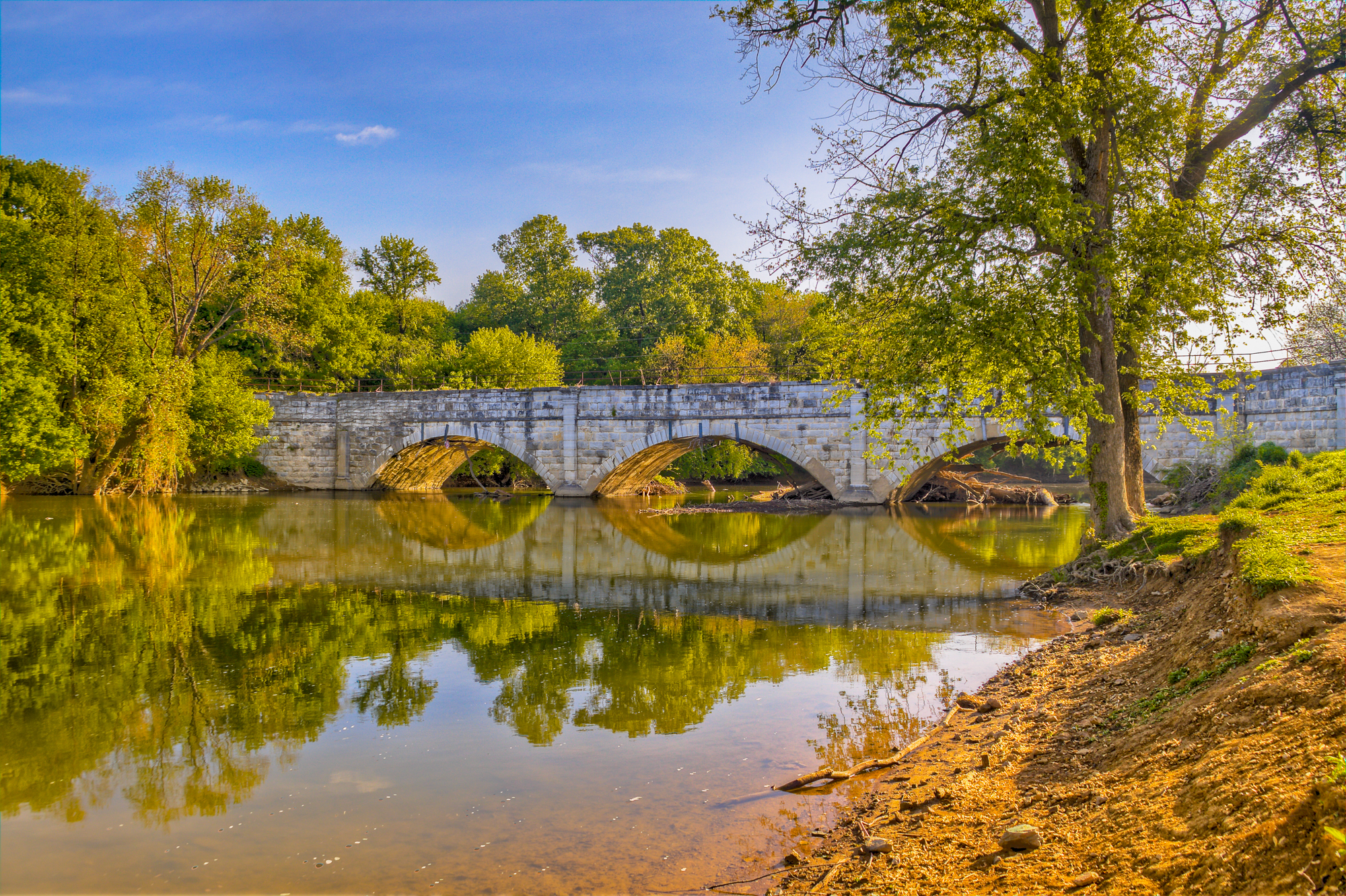
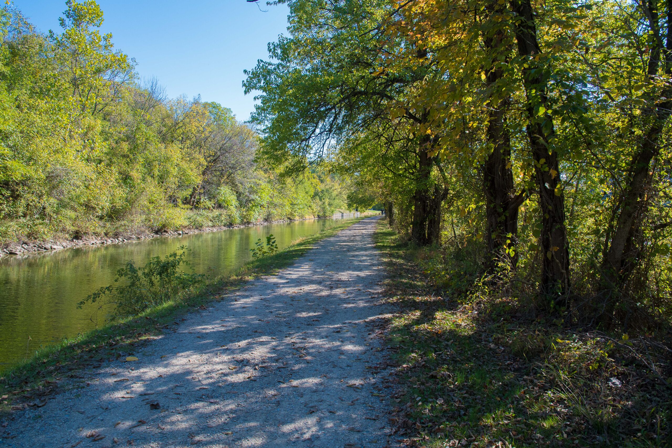
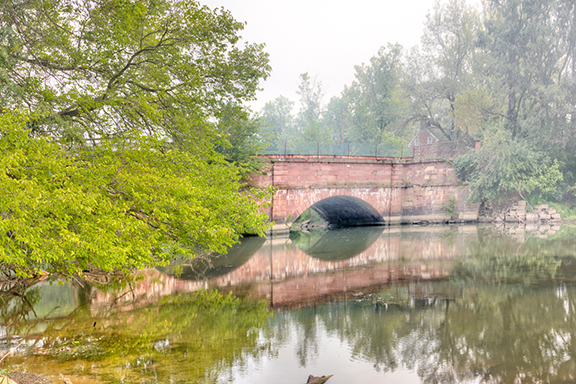
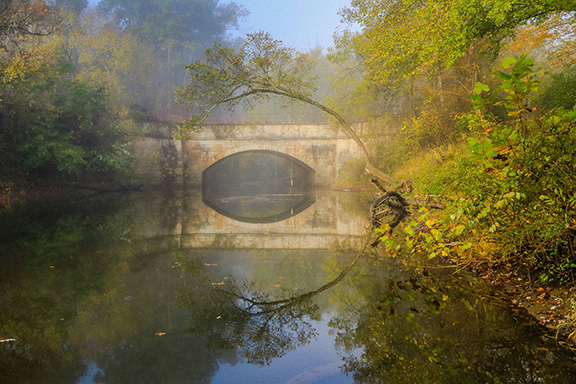
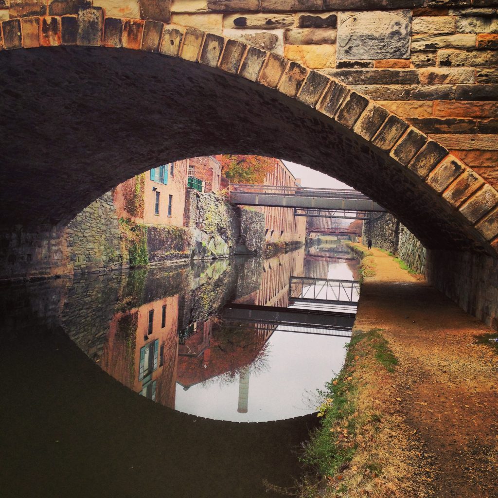
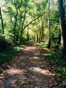
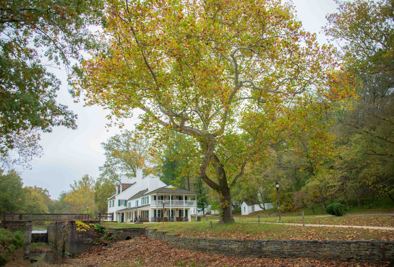
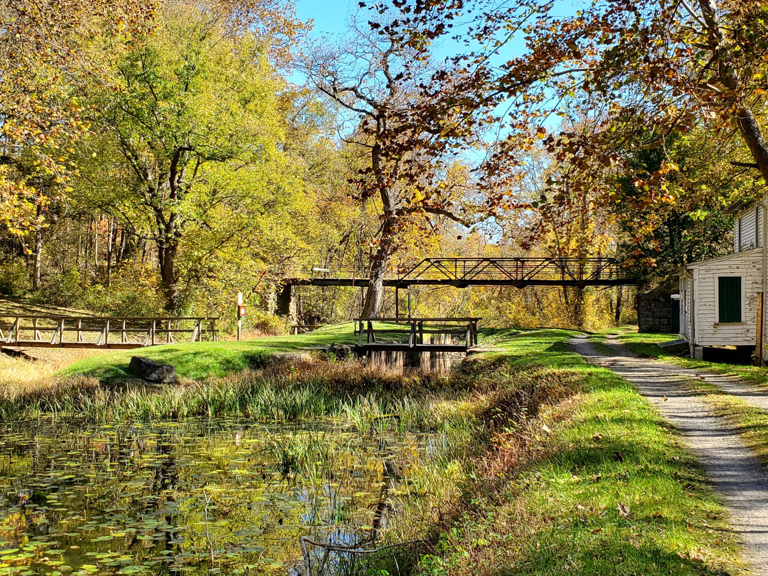
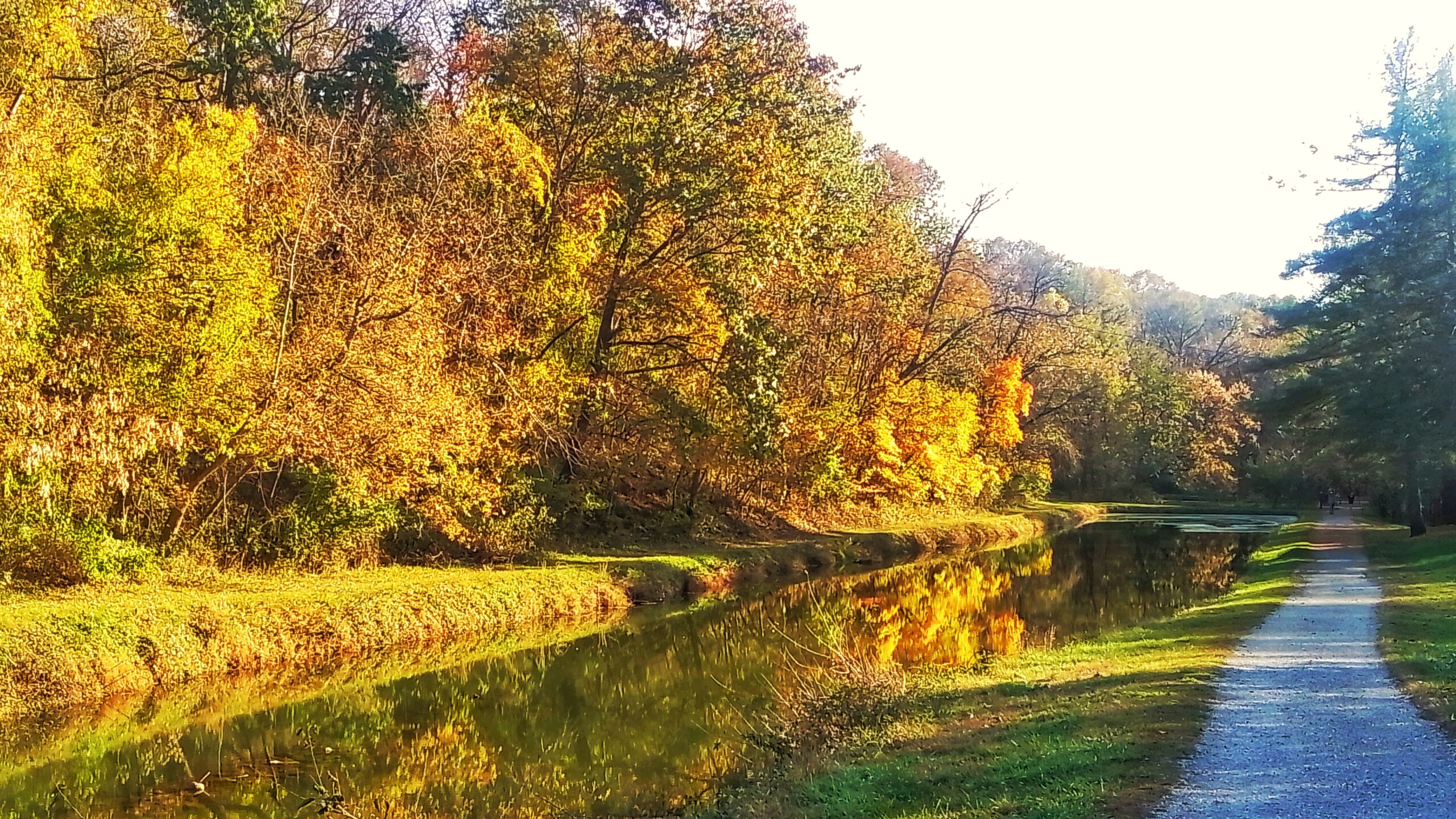
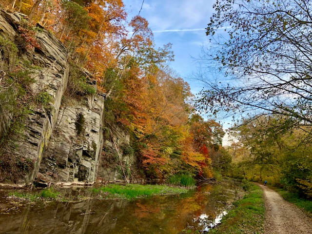
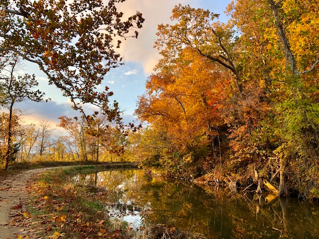
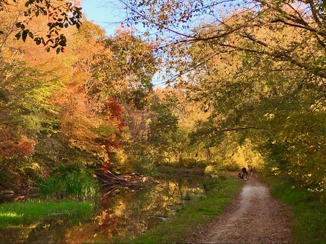
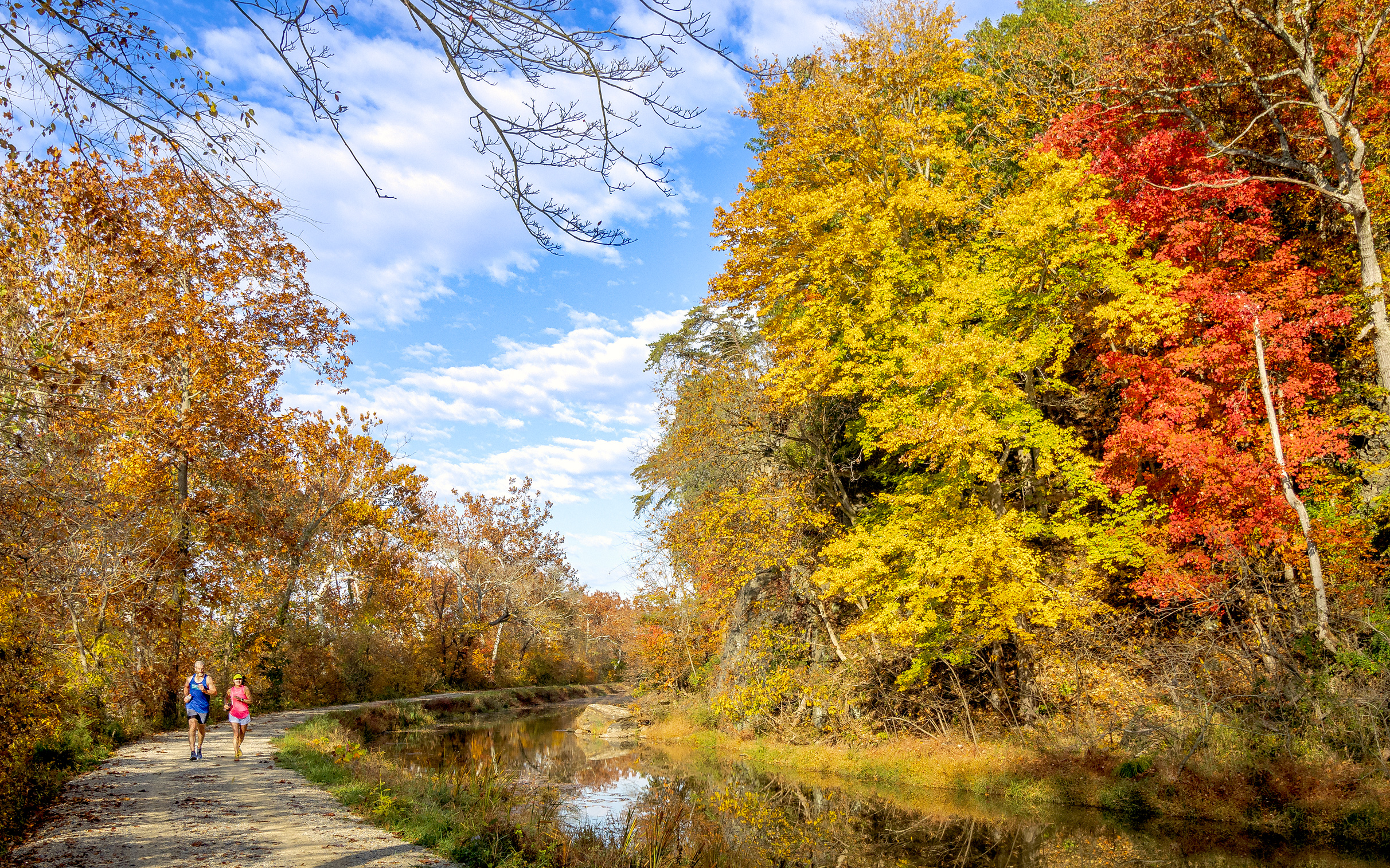
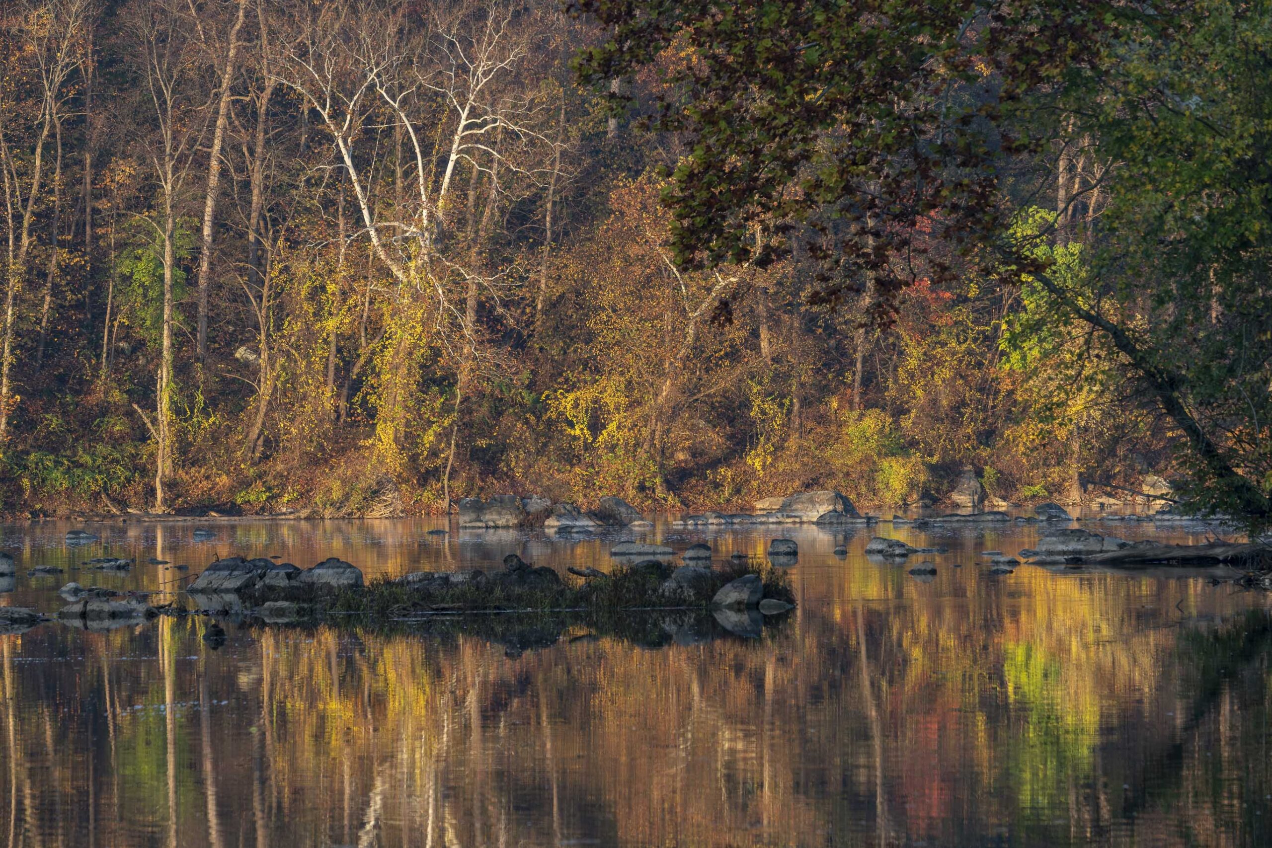
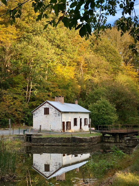
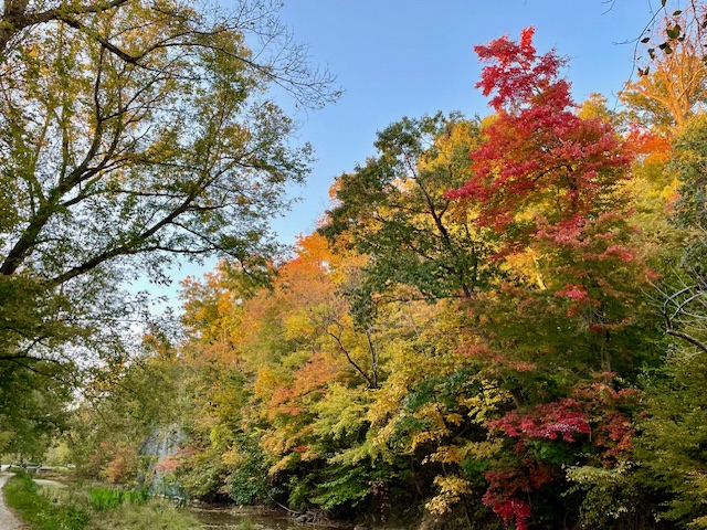
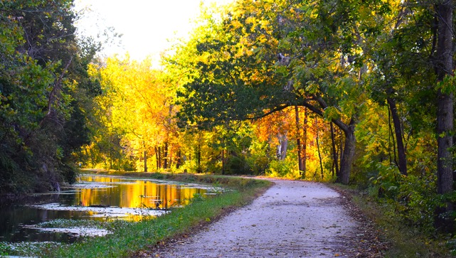
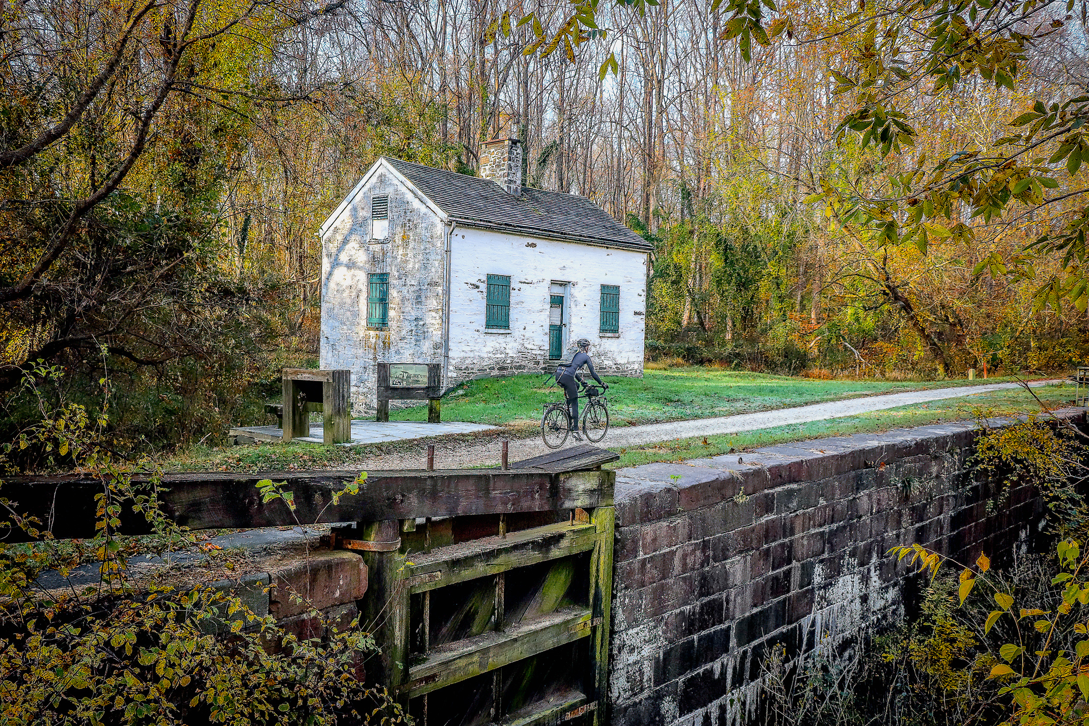
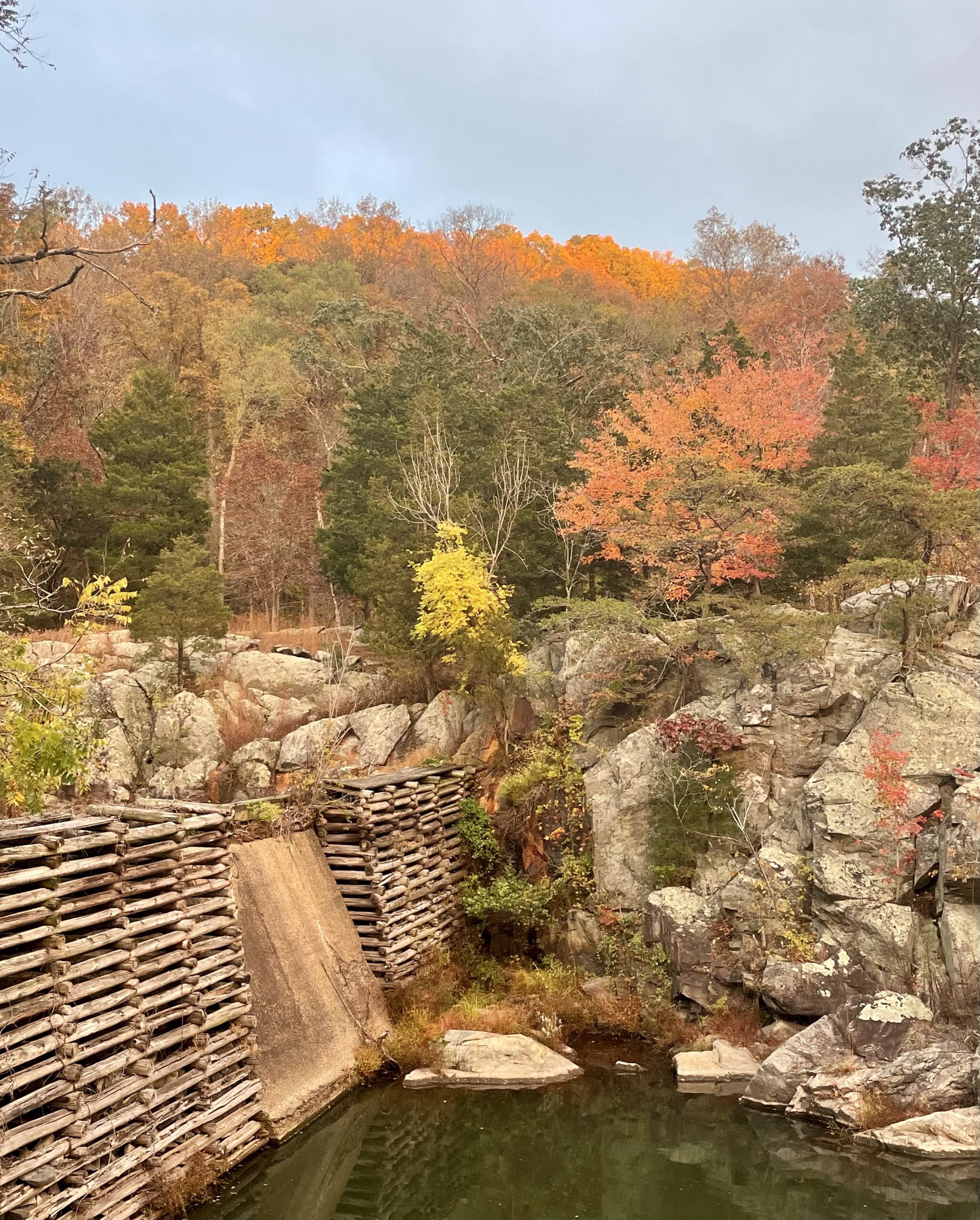
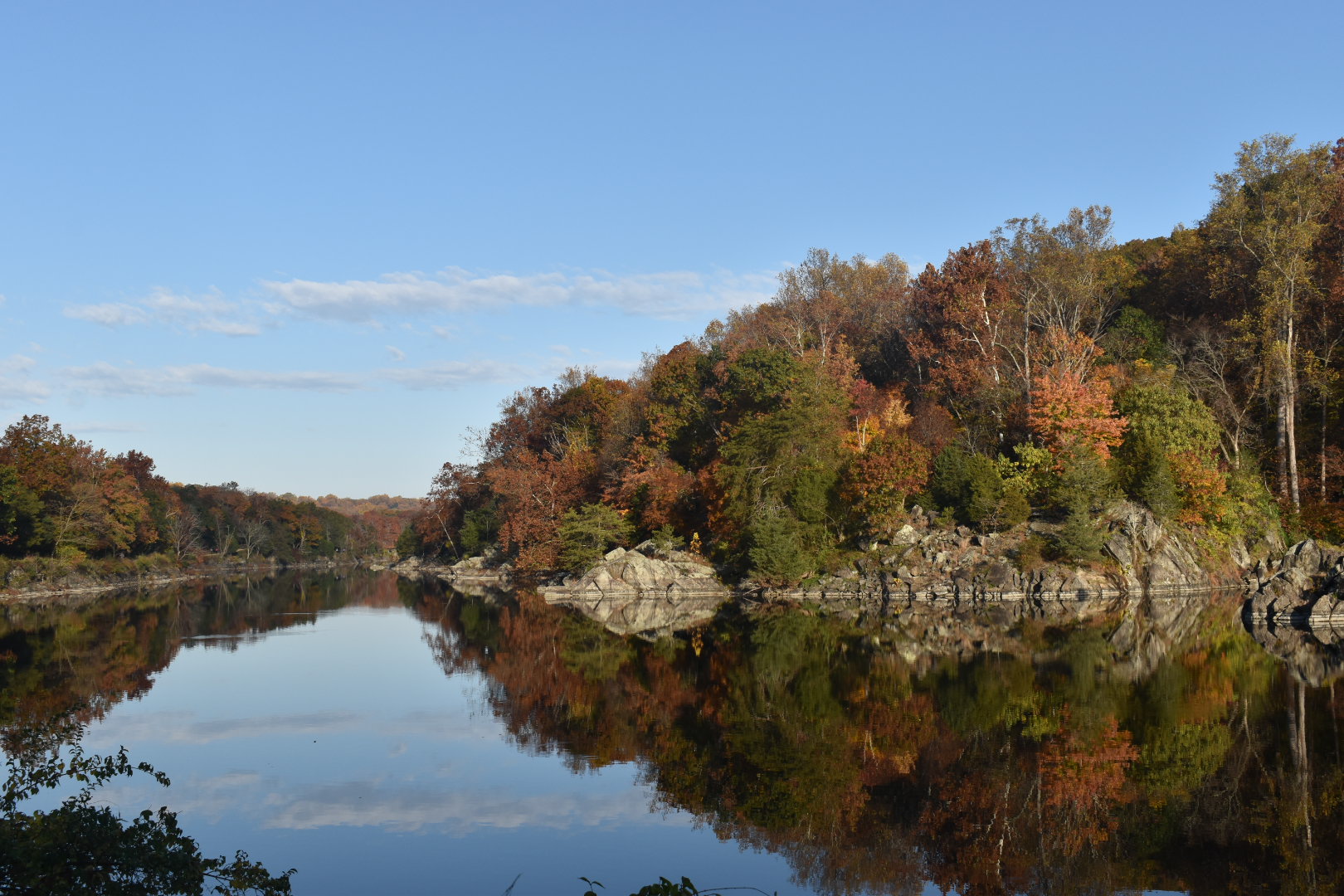
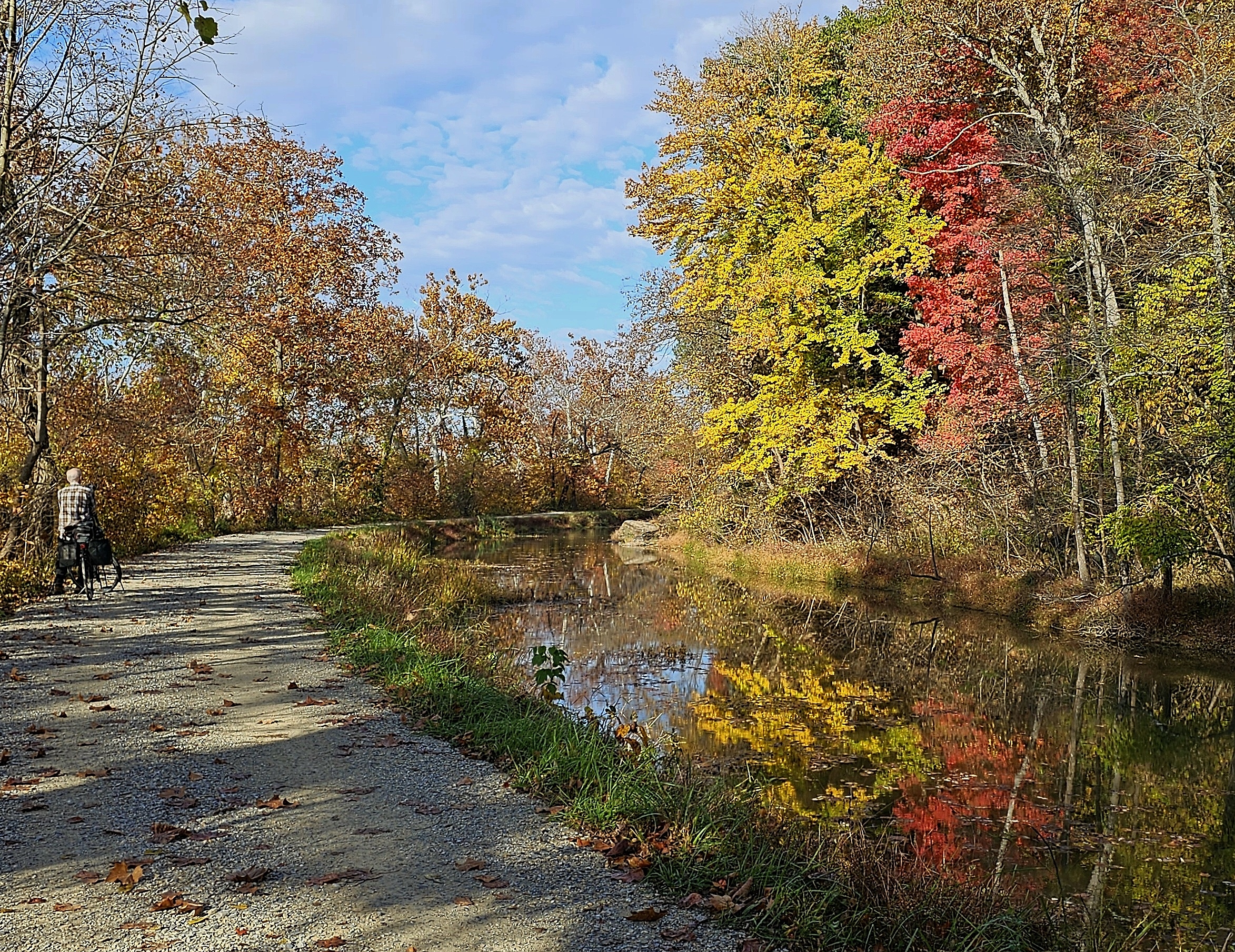
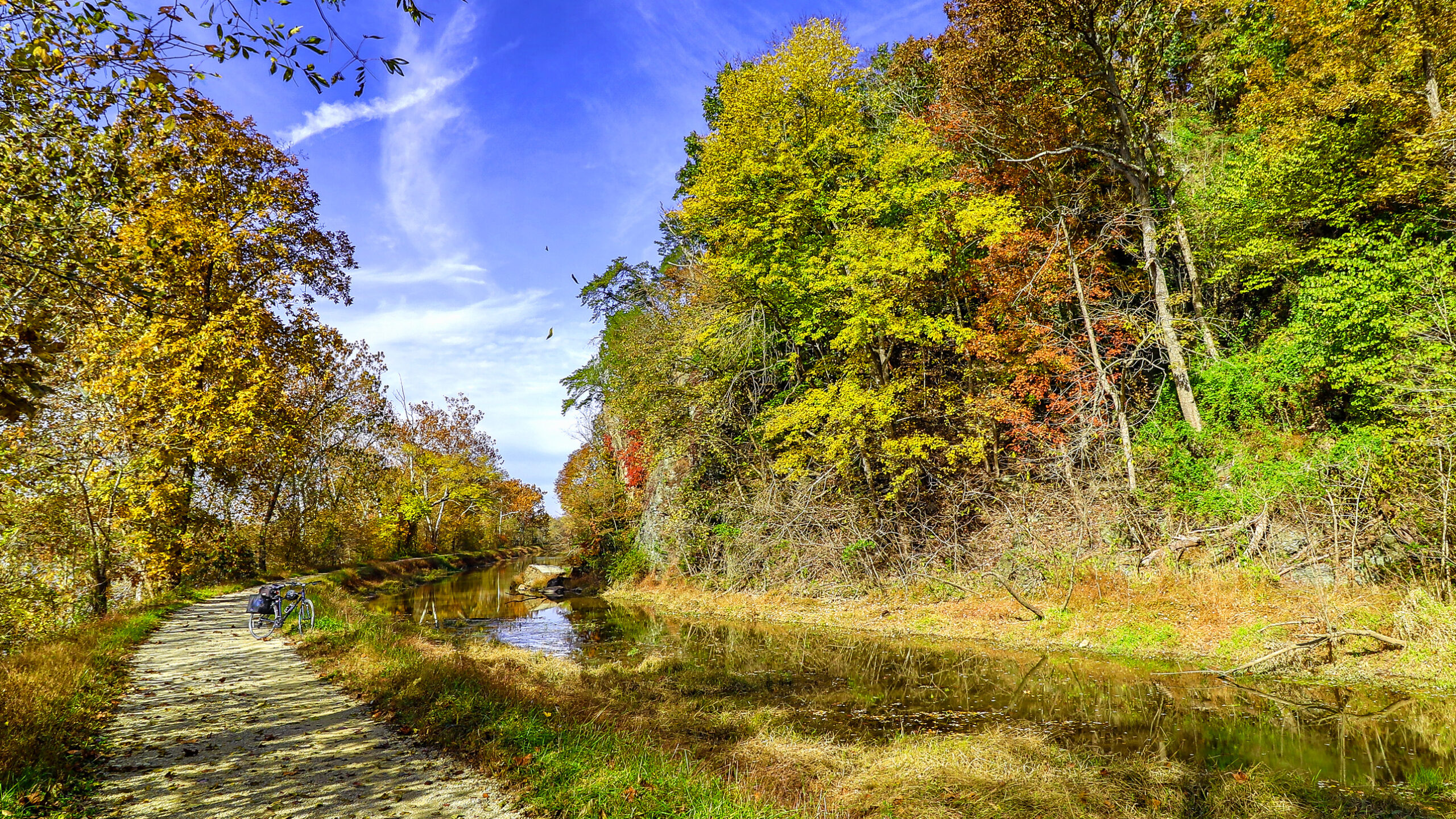
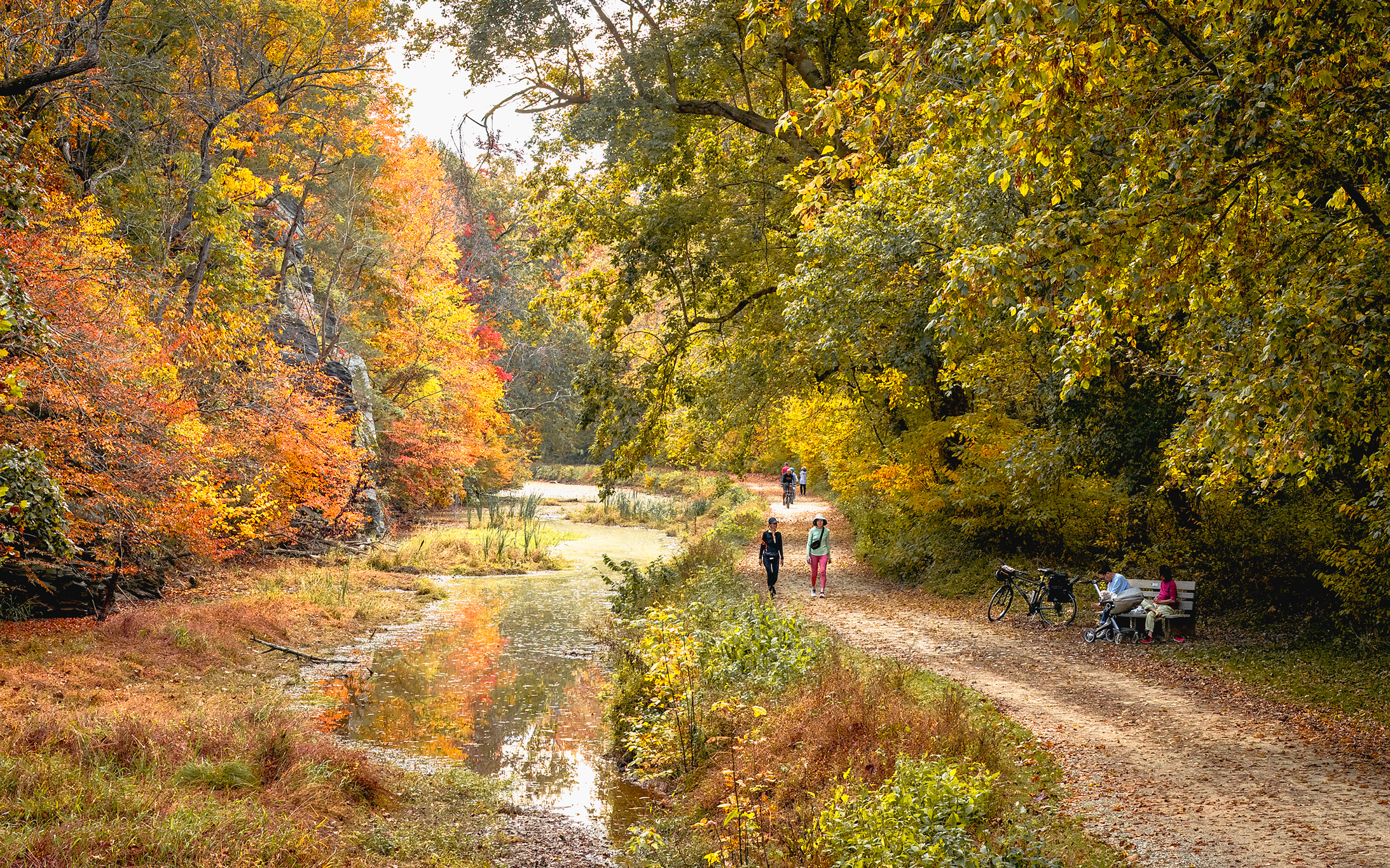
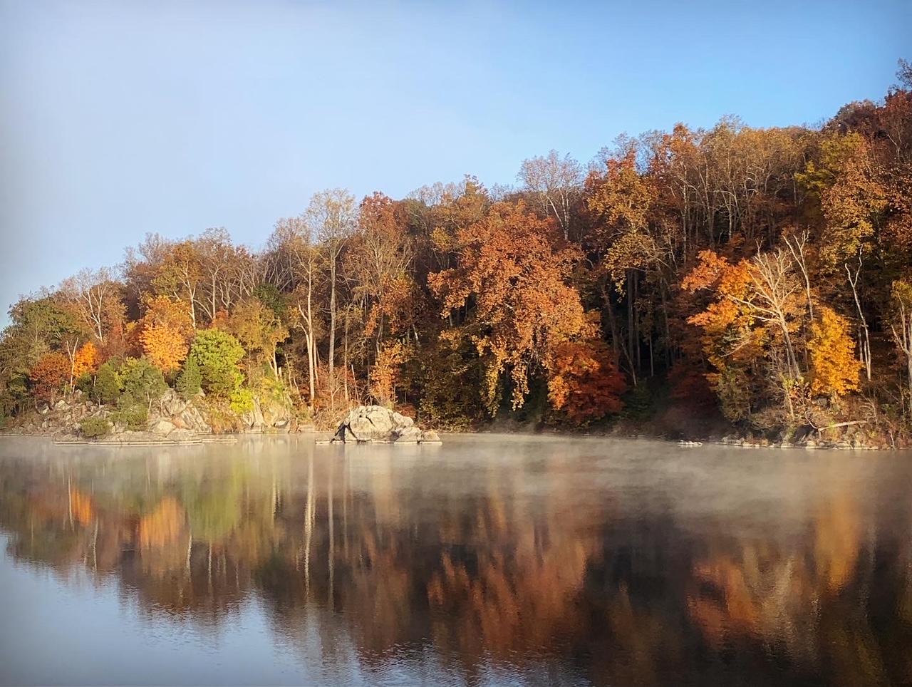
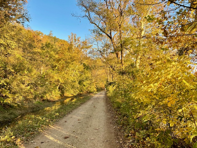
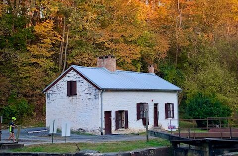
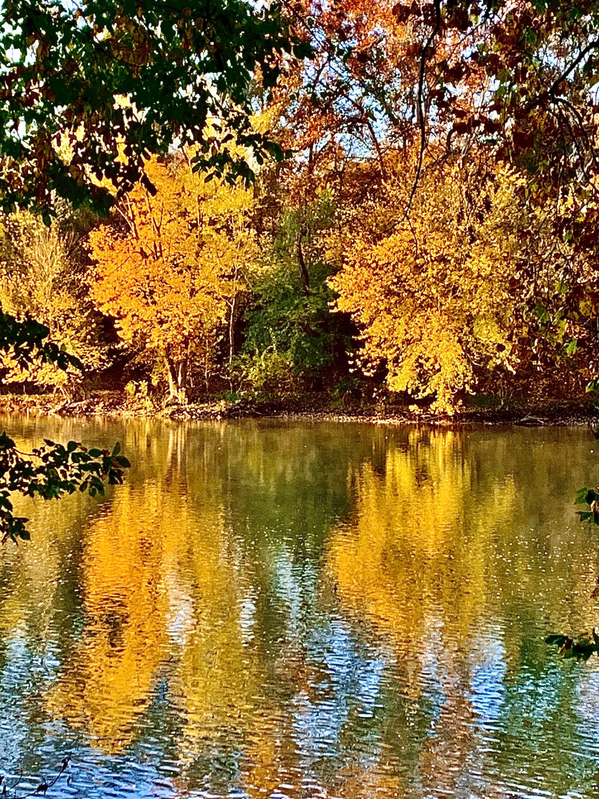
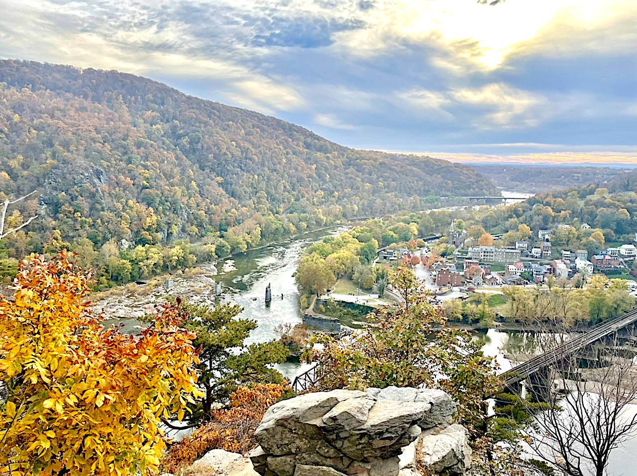
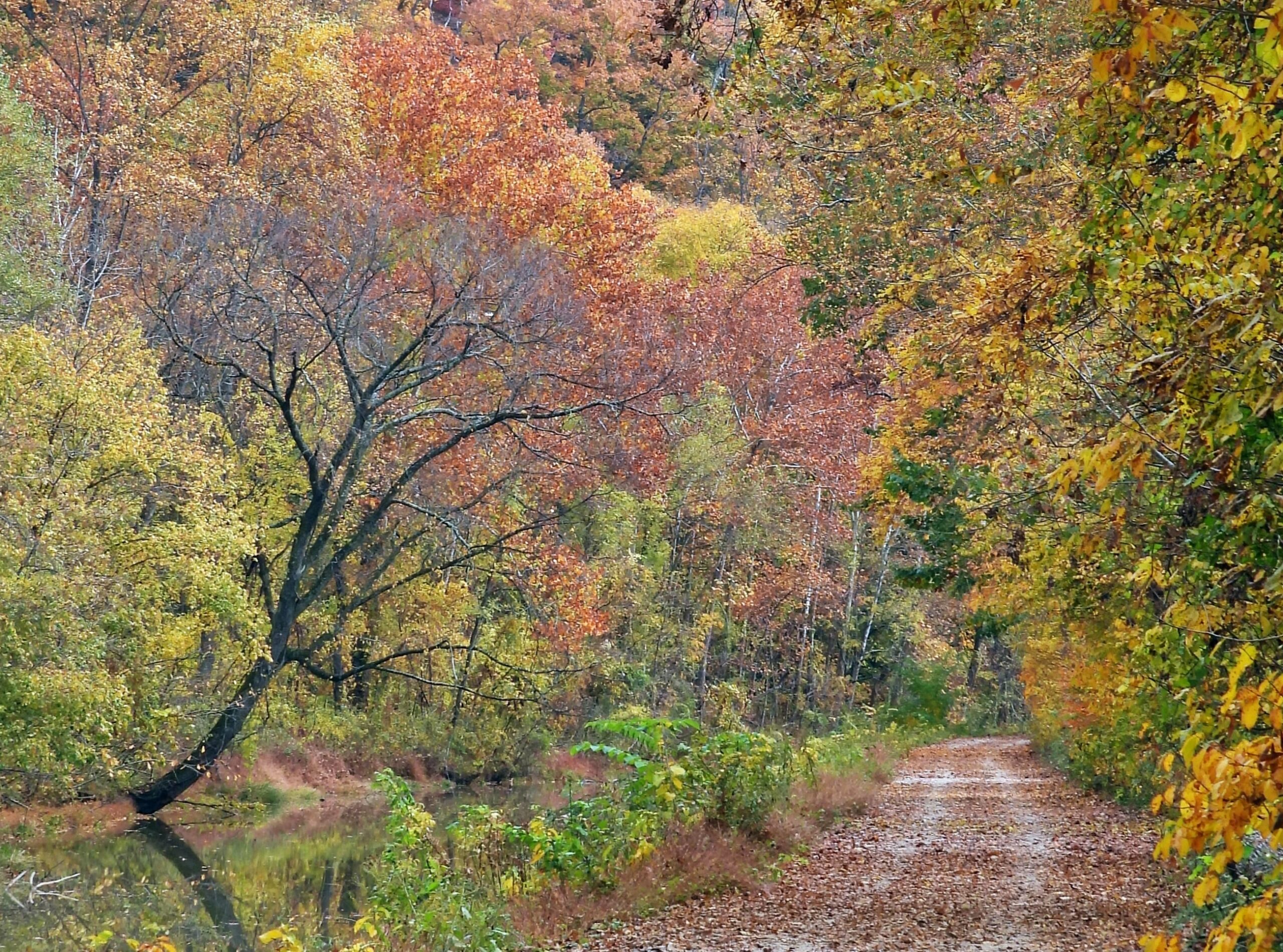
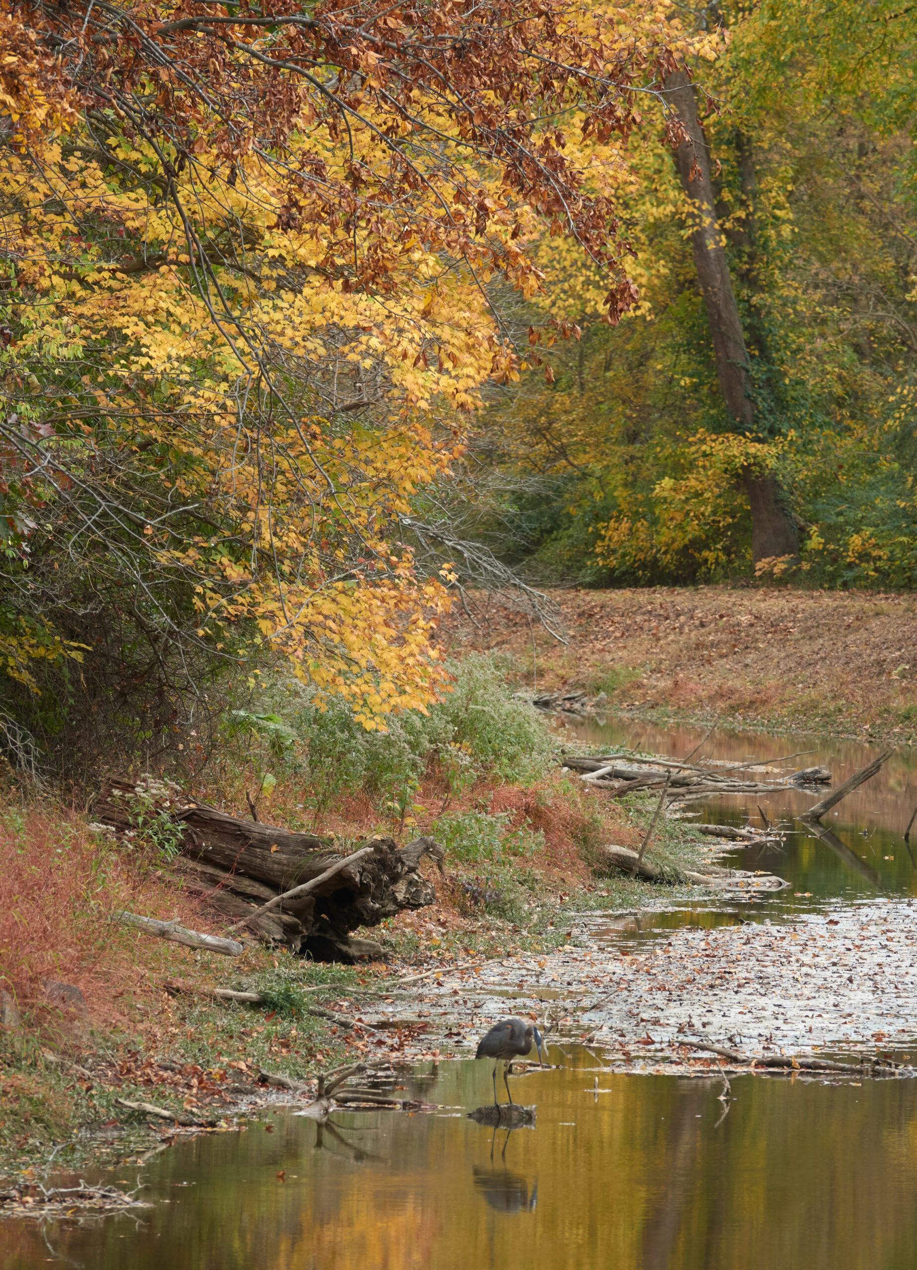
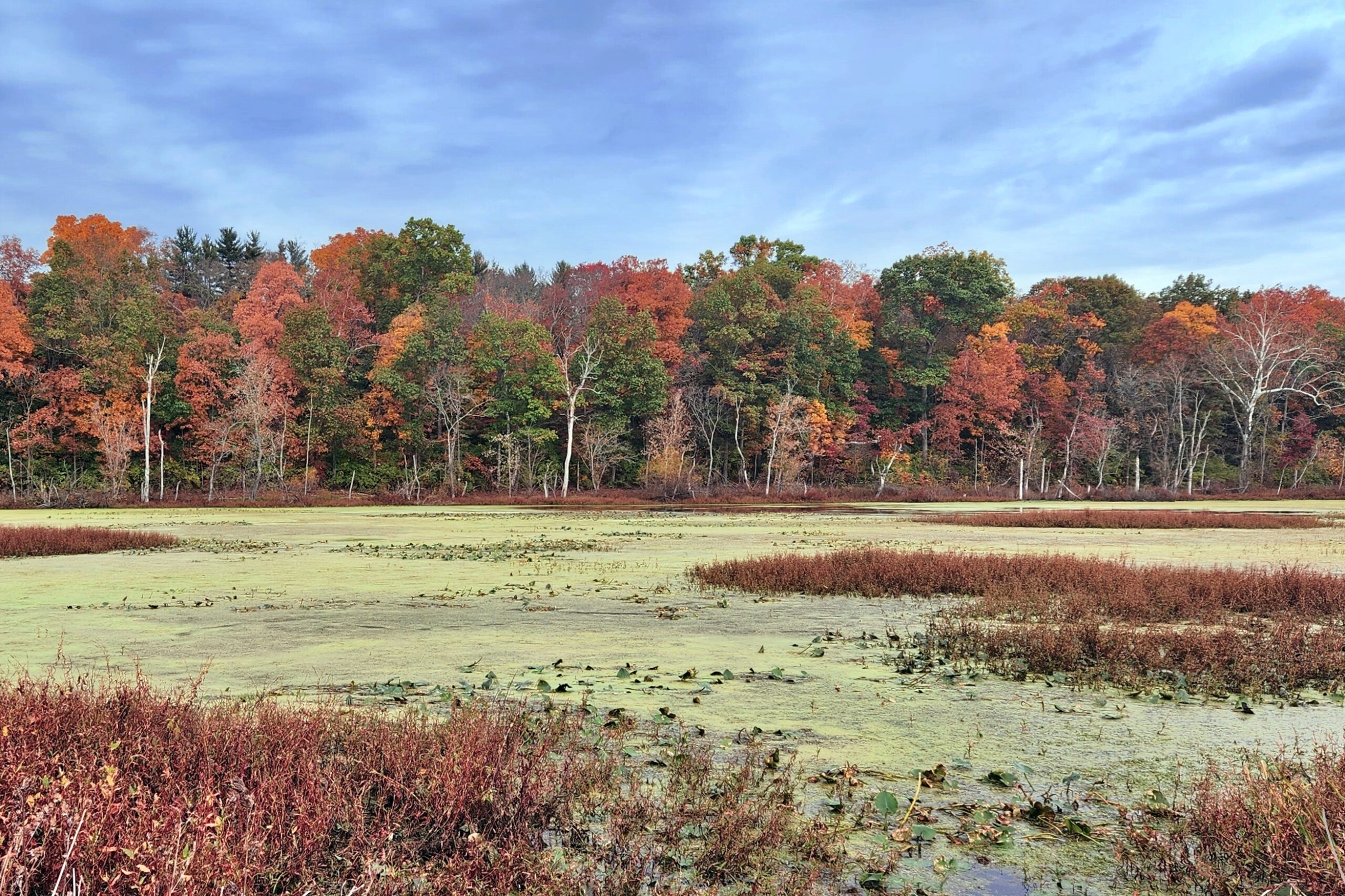
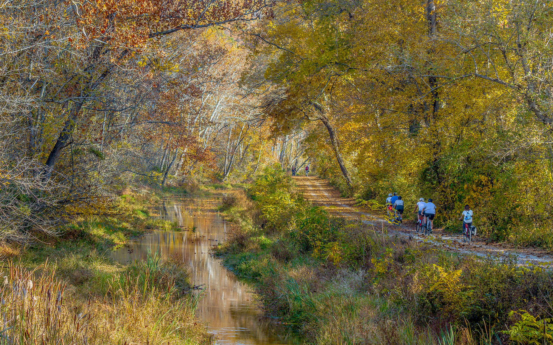
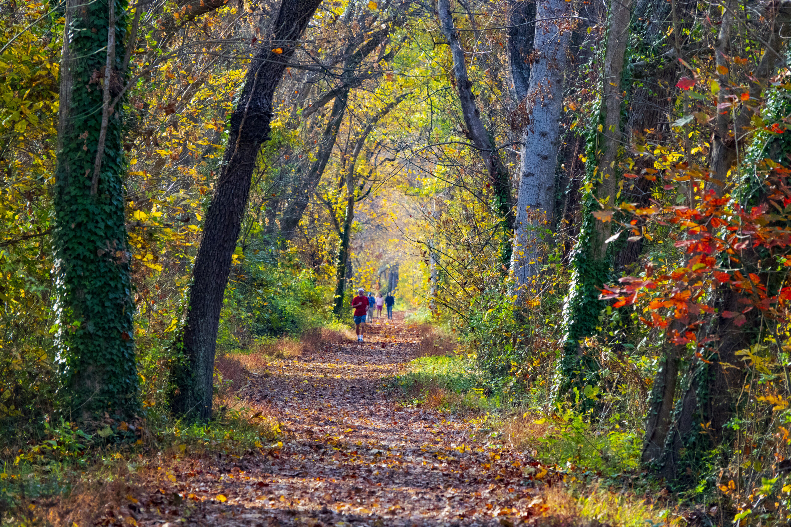
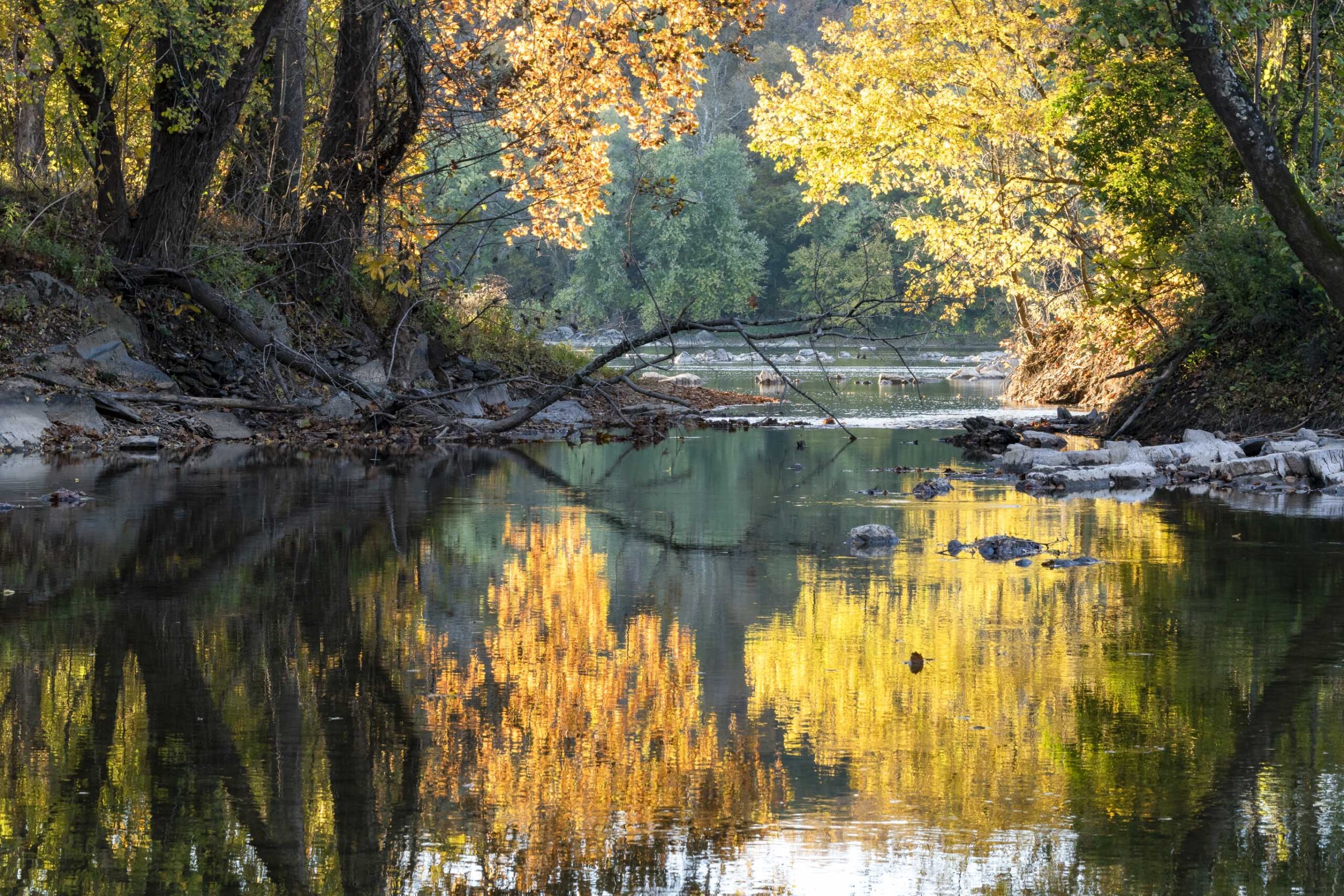
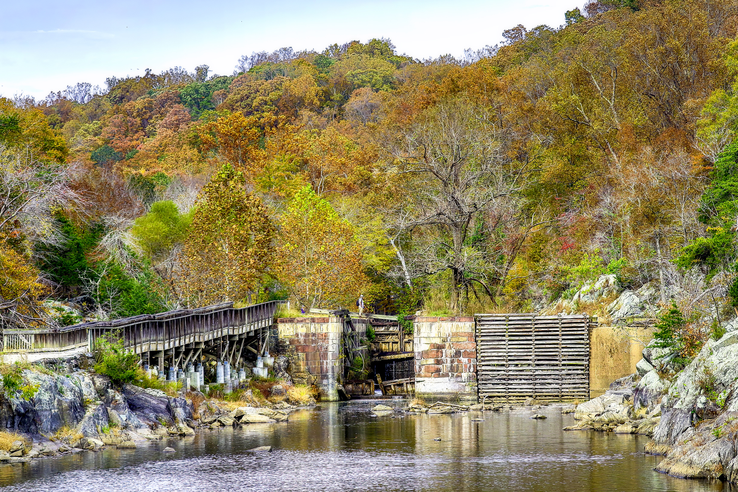
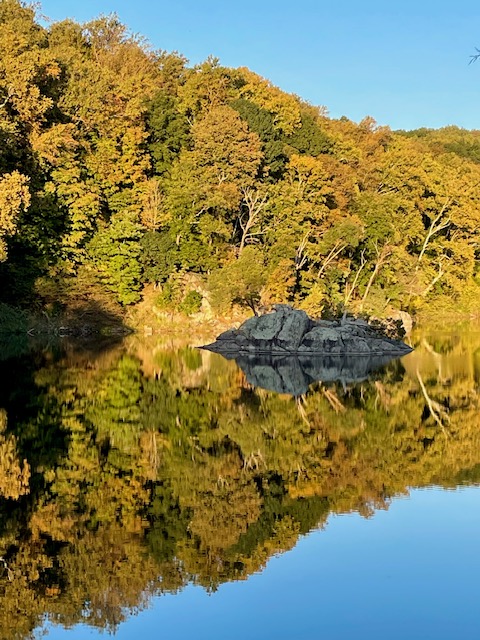
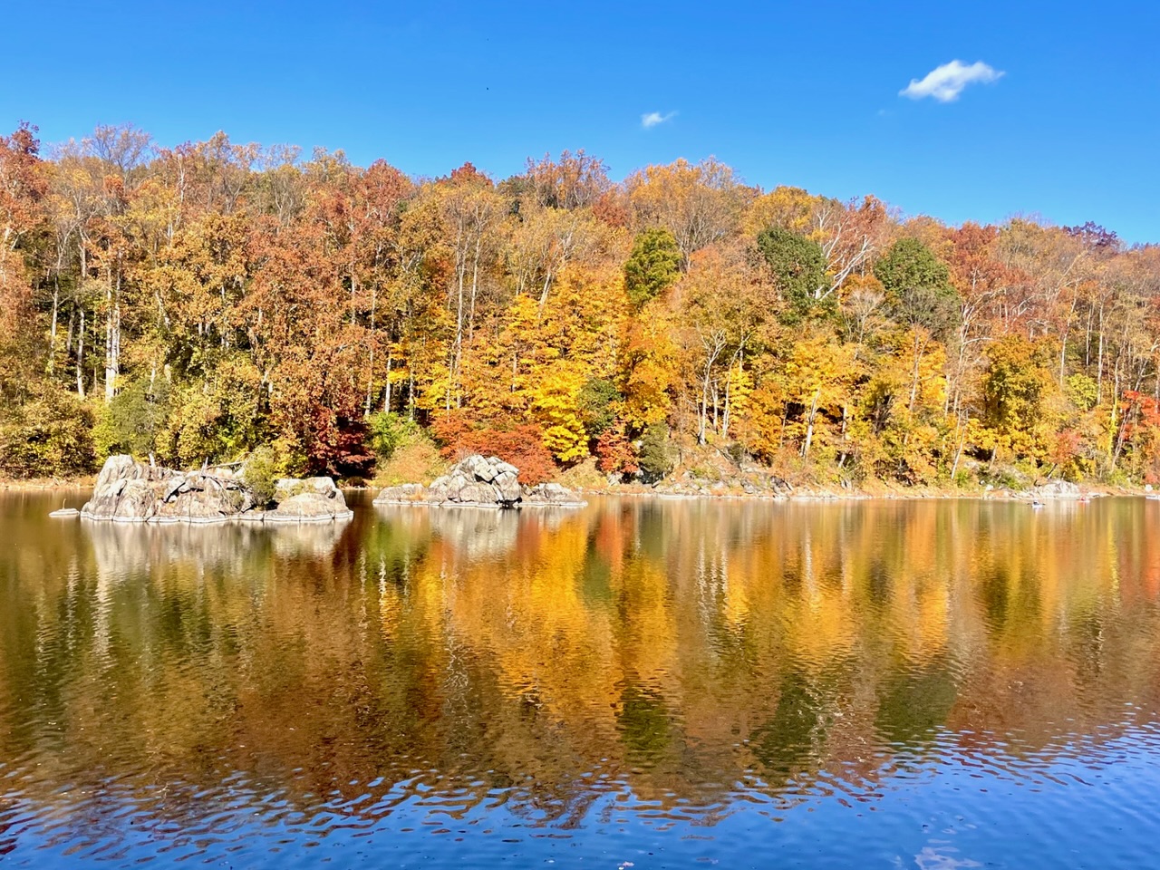
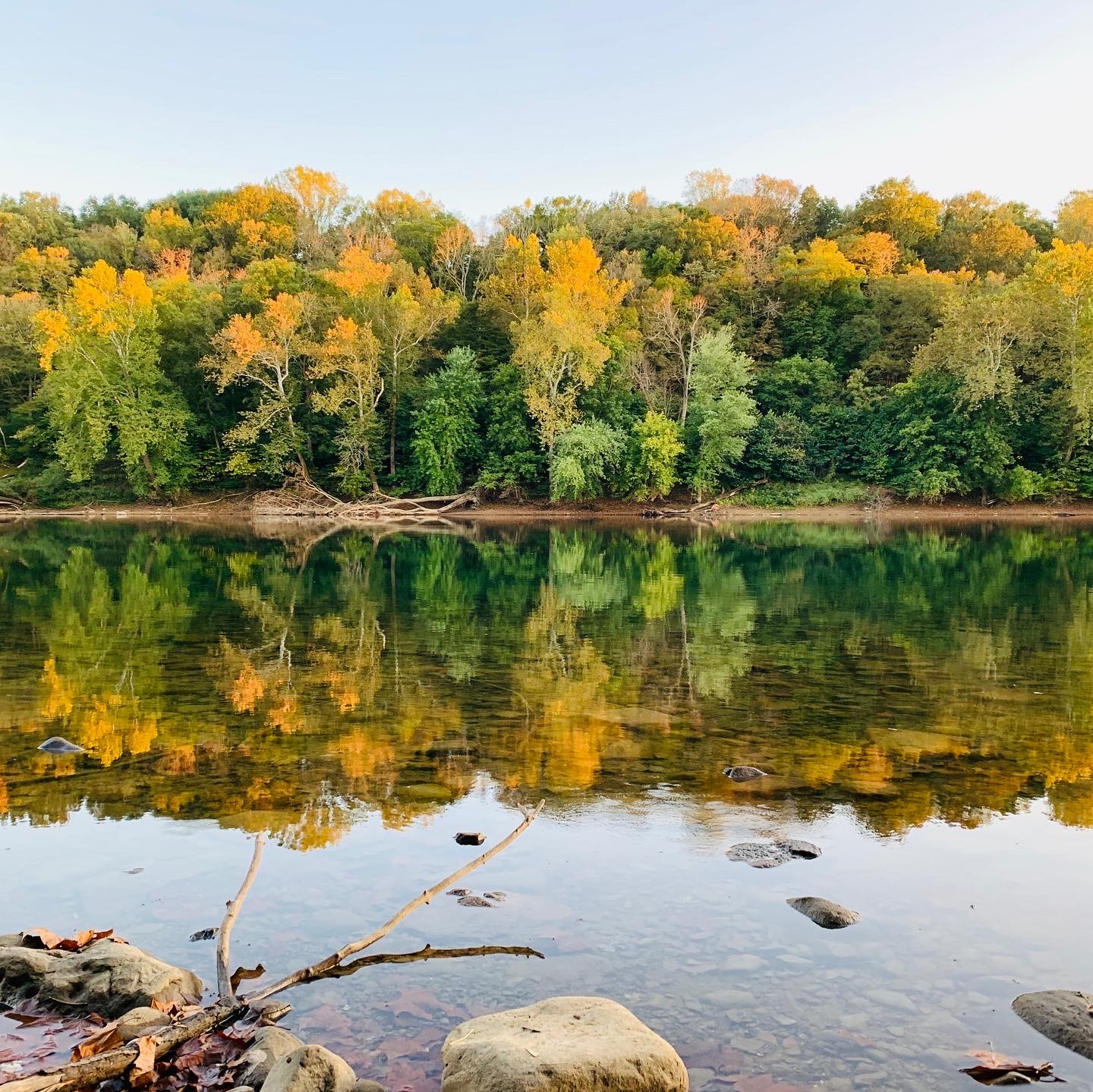
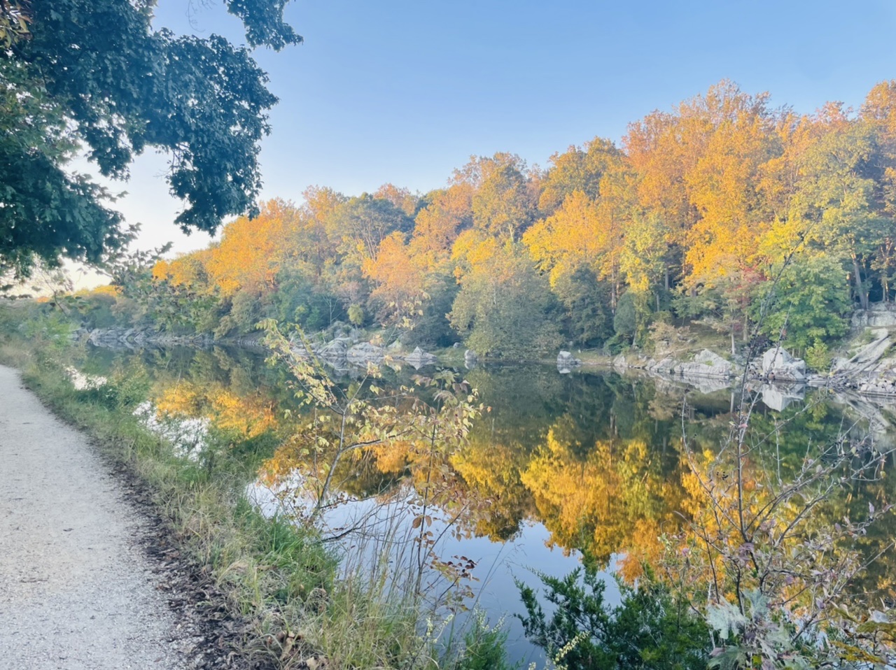
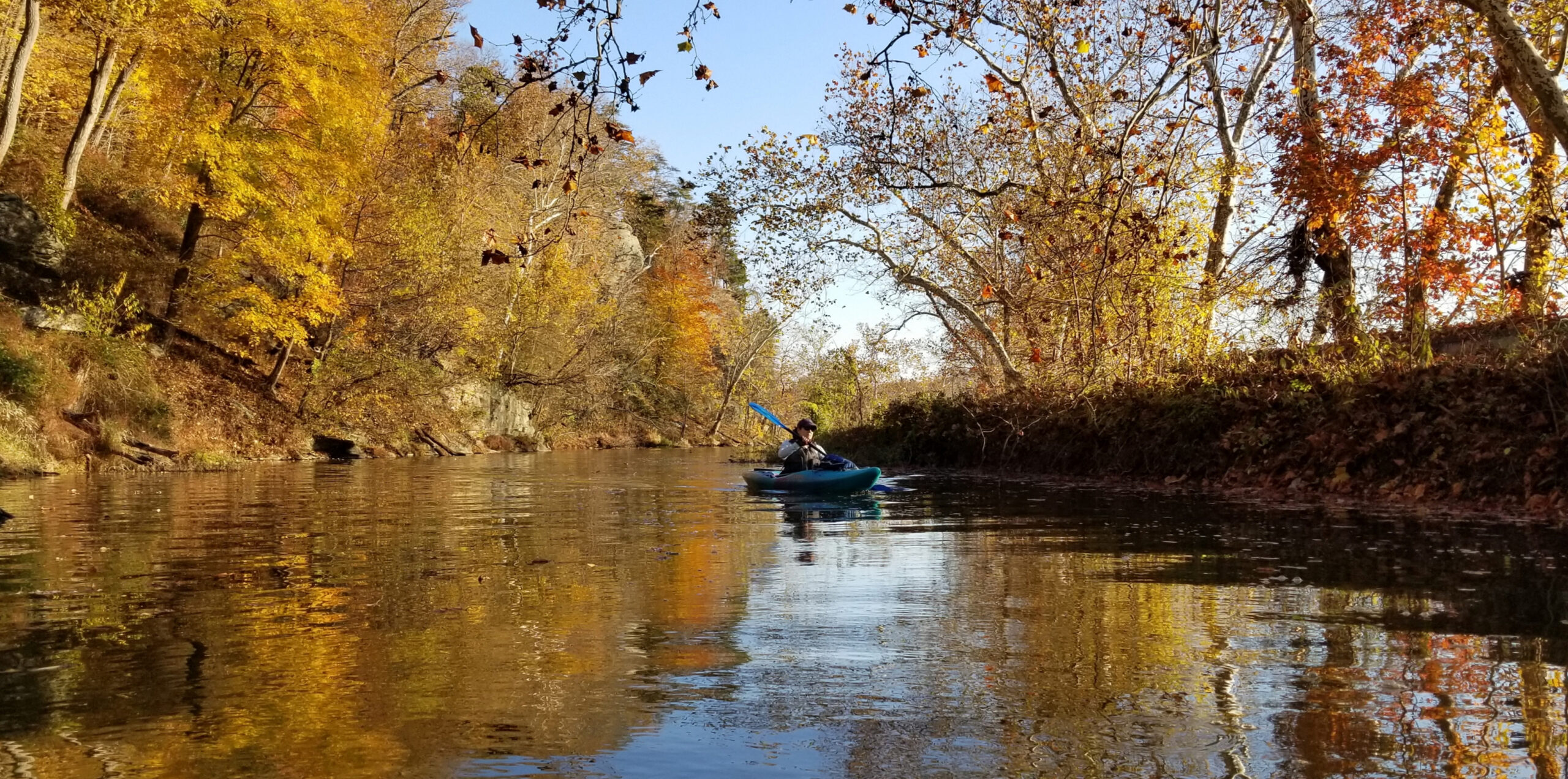
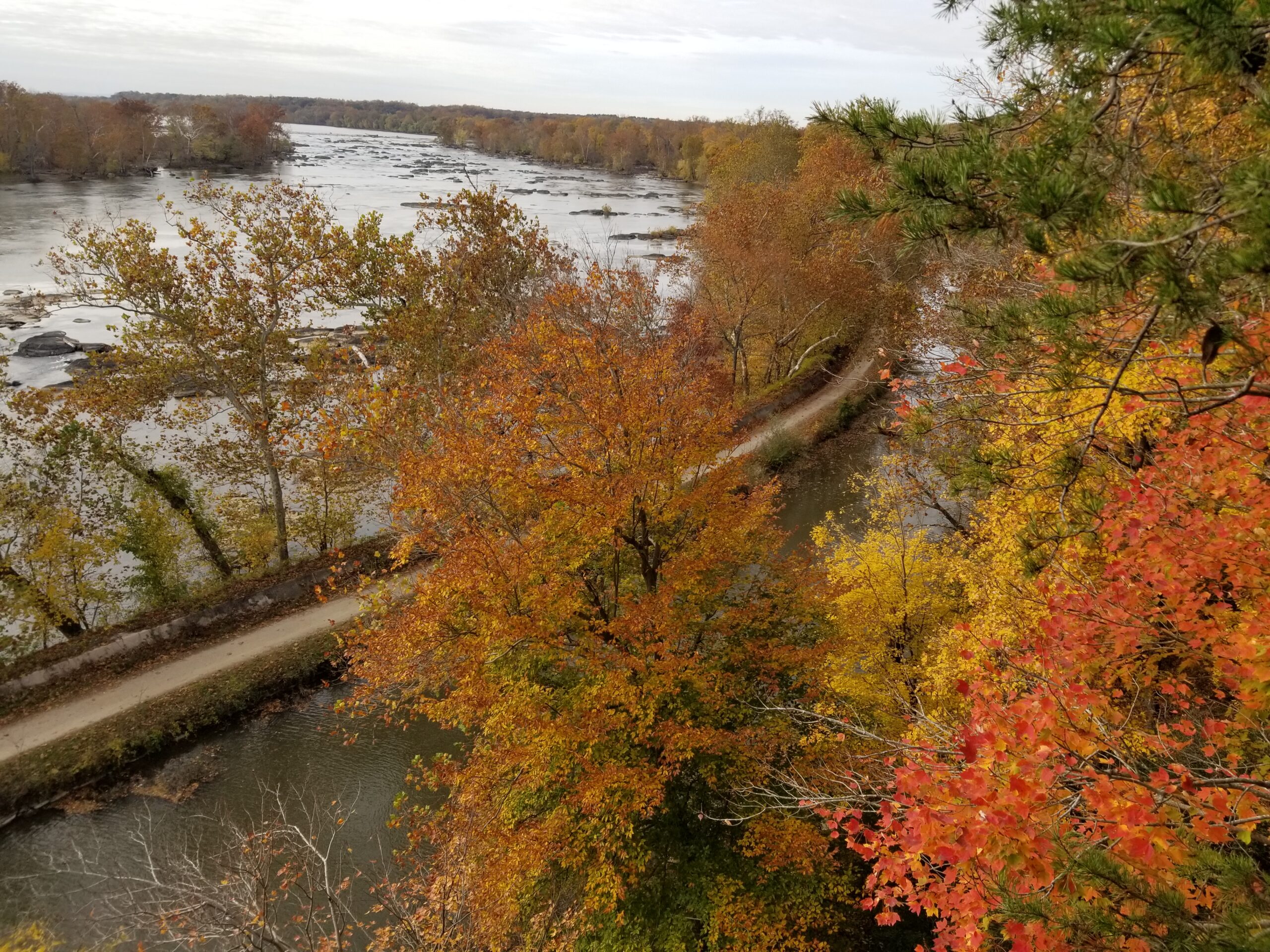
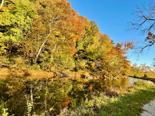
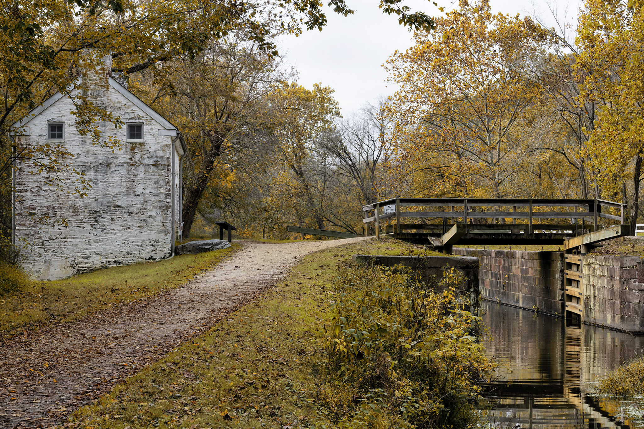
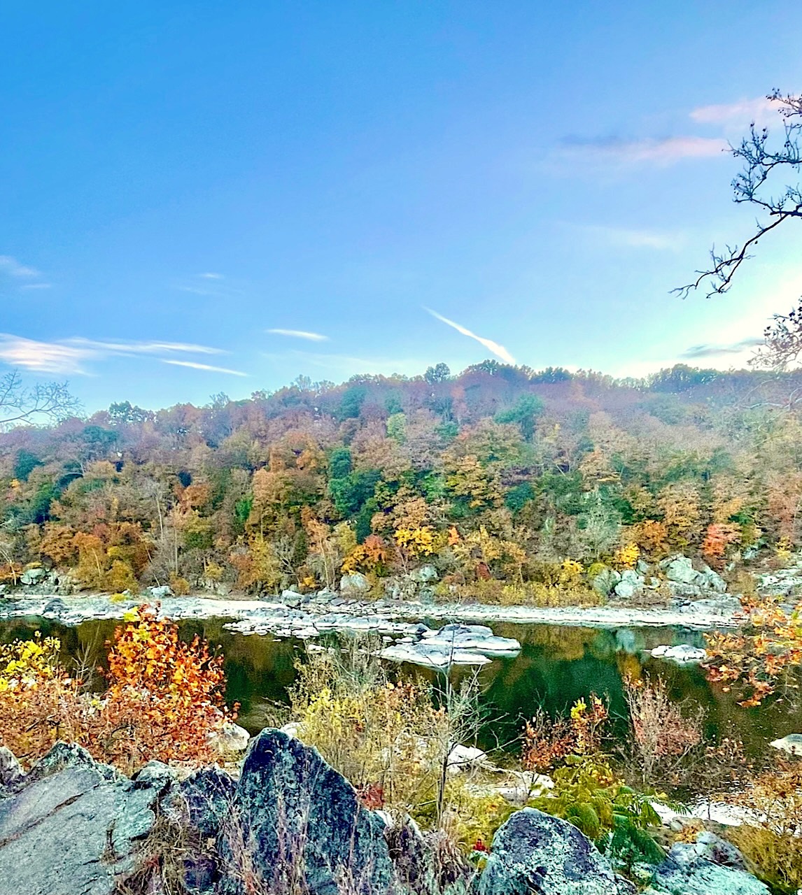
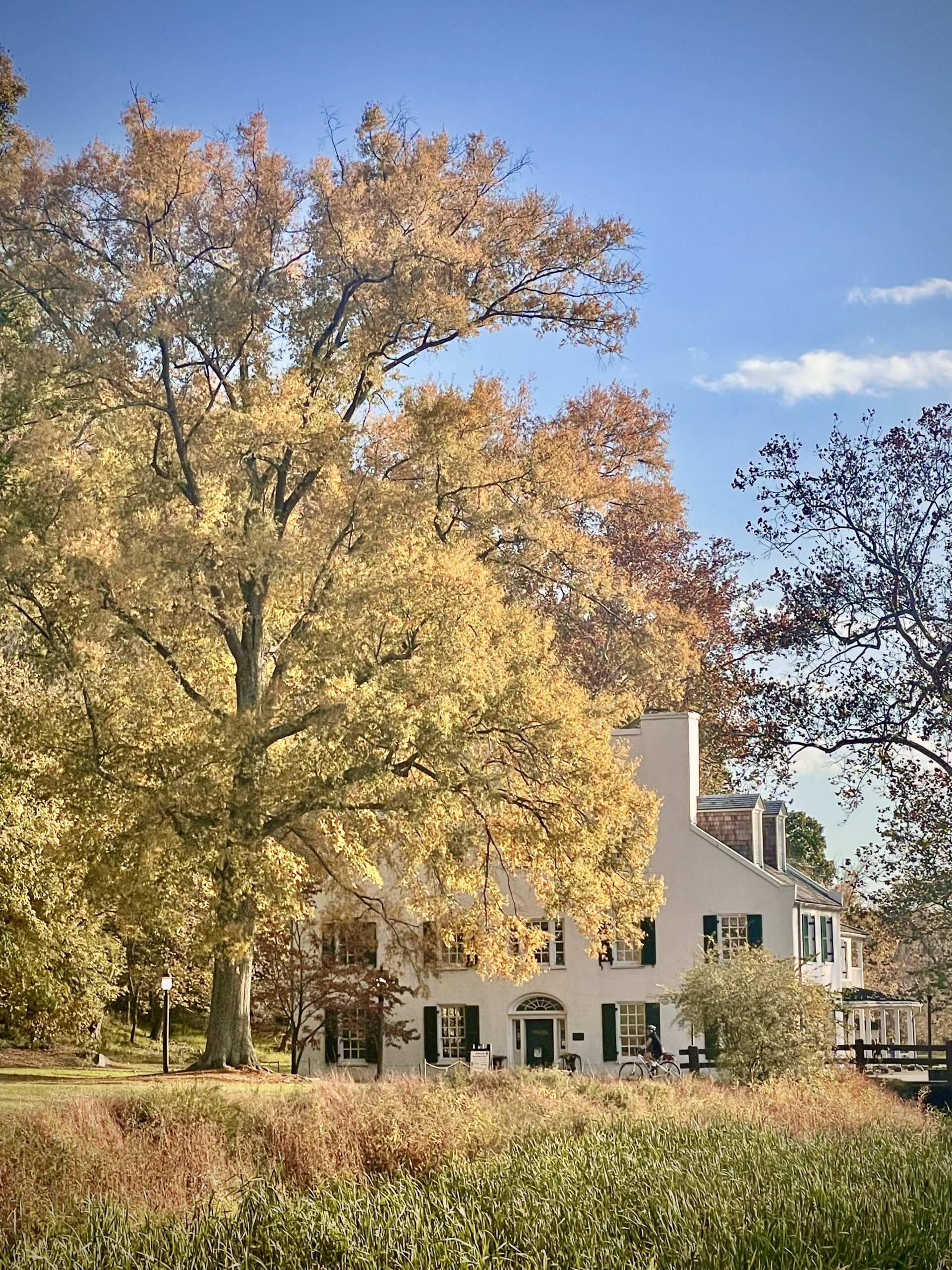
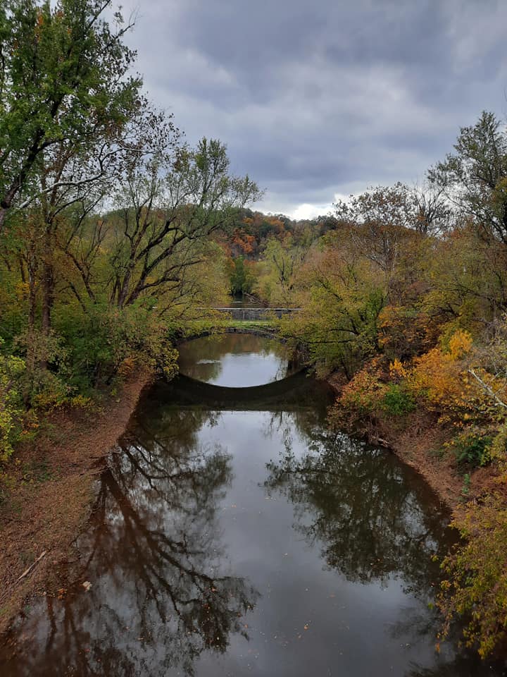
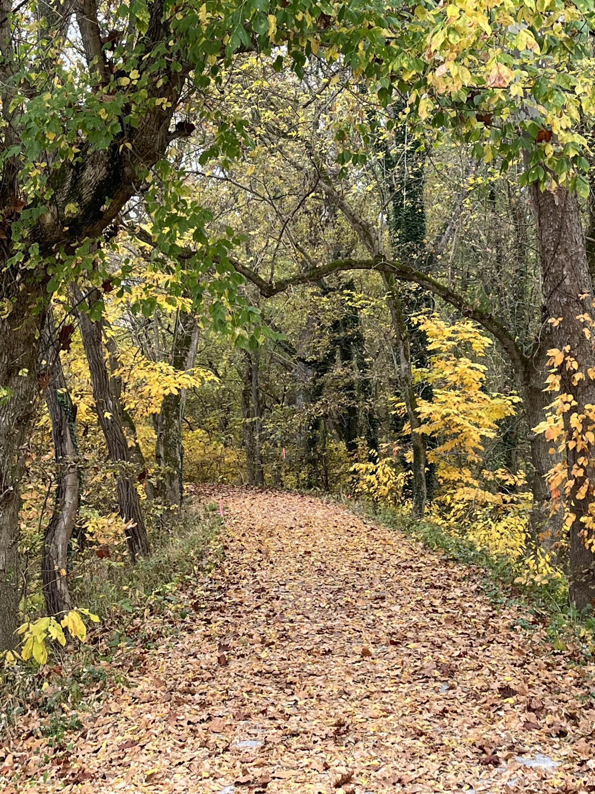
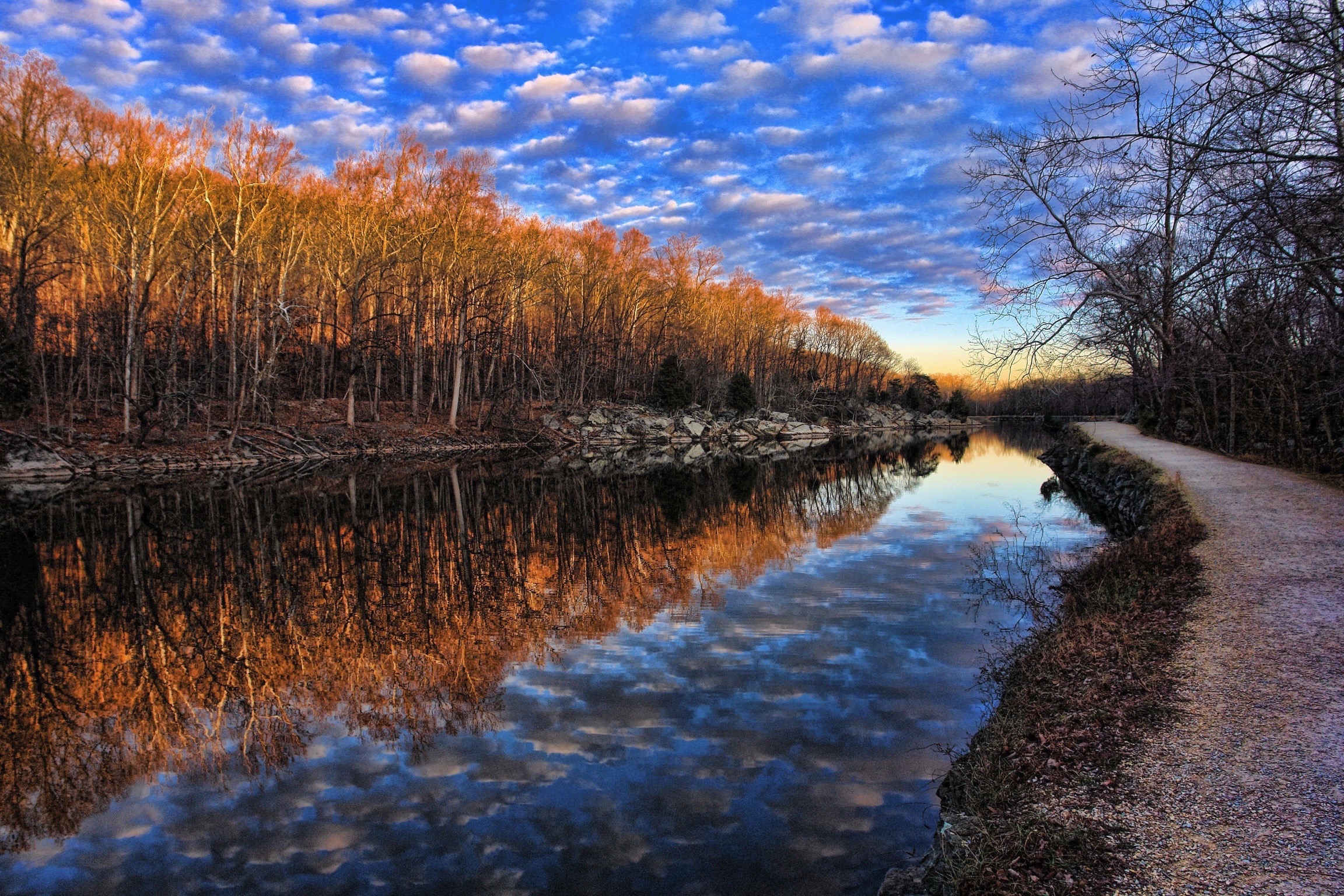
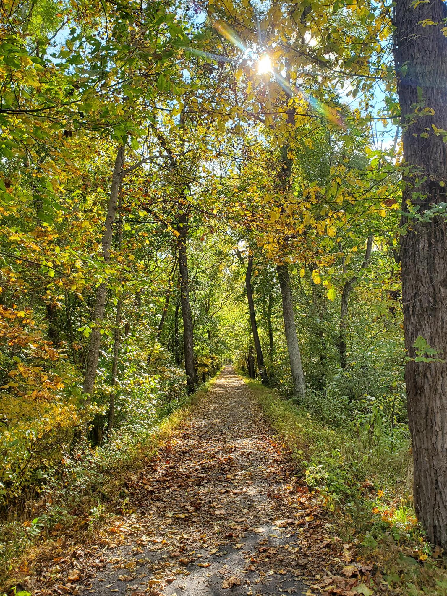
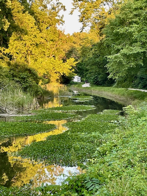
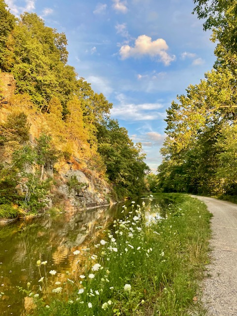
Welcome to our Virtual Leaf Peeping gallery! Enjoy some beautiful scenic photos from recent years that show off the beauty of the C&O Canal in Fall. Click to see full image!


 - MM13 by Jeff Blander")


 - MM14 by Jeff Blander")


Do you have fall photos of the Canal? Submit them to our monthly photo contest here.
(more…)


(more…)
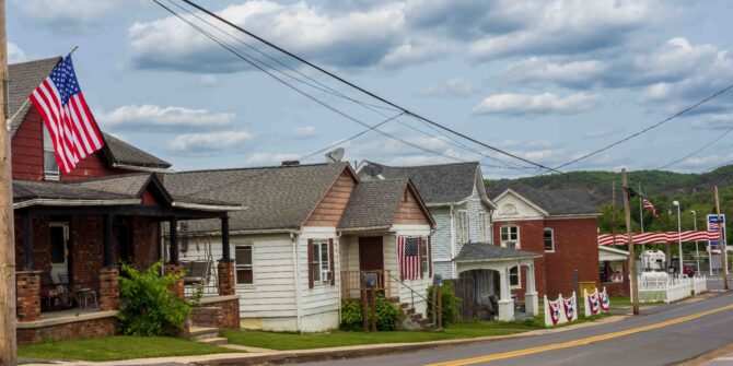
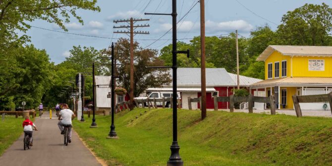
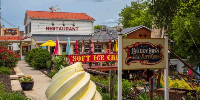
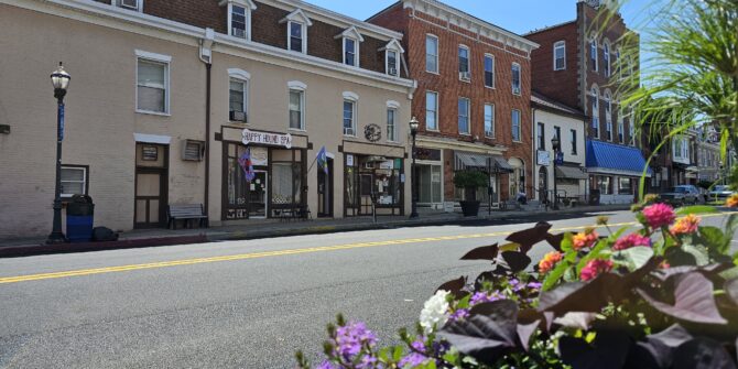
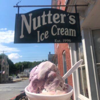
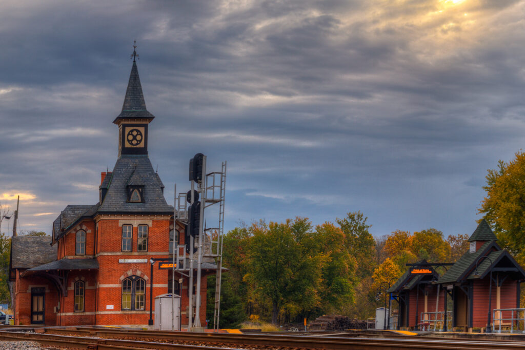
Along the 184.5 mile length of the towpath, there are many small towns and communities where visitors can explore, shop, eat and sleep. In chillier months, Park lovers can find refuge among cozy cafes or warm up with a craft beer in one of the many local breweries.
Celebrate FeBREWary this year by visiting each of these canal towns in the Canal Towns Partnership and check out these featured cafes and breweries.
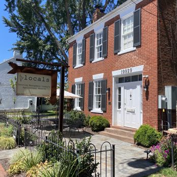
Poolesville, MD
(Mile Marker 30.9, 35.5)
Locals Farm Market
19929 Fisher Avenue, Poolesville, MD 20837
4.7 miles from the towpath at Edwards Ferry

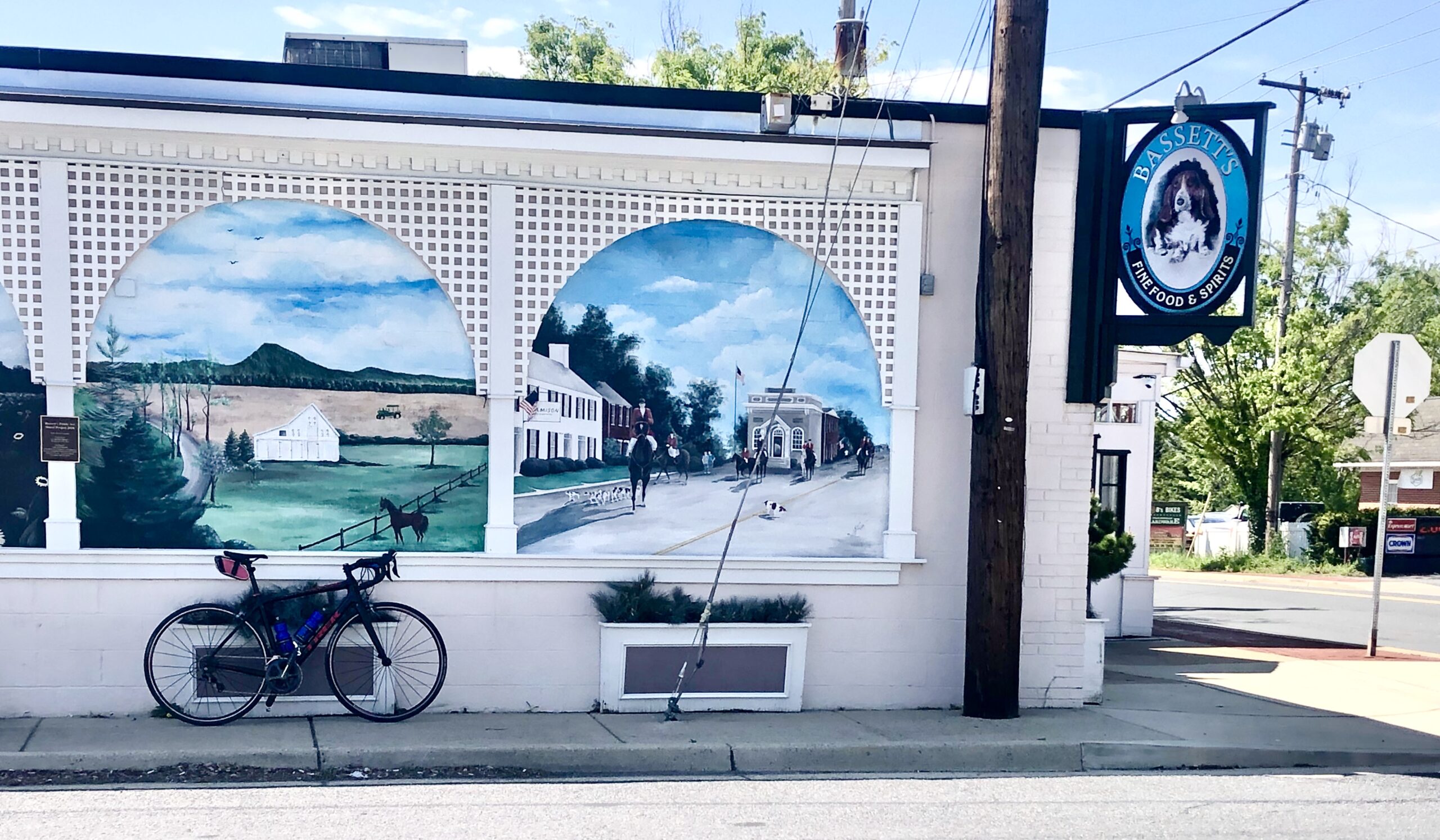
Brunswick, MD
(Mile Marker 55)
Smoketown Brewing Station
223 W. Potomac Street Brunswick, MD 21716
0.3 mile walk/bike from C&O Canal

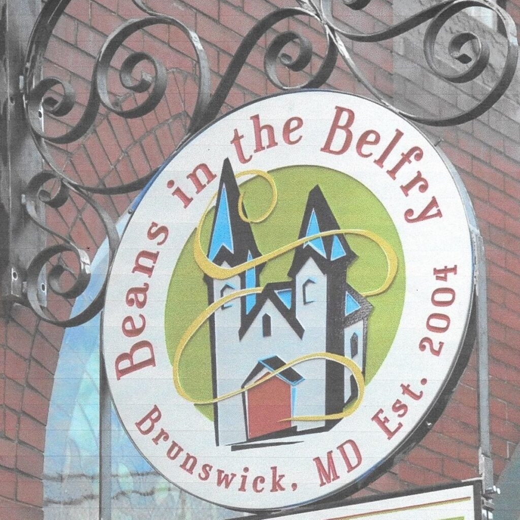
Beans in the Belfry
223 W. Potomac Street Brunswick, MD 21716
0.3 mile walk/bike from C&O Canal

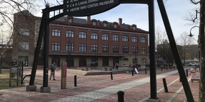
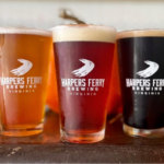
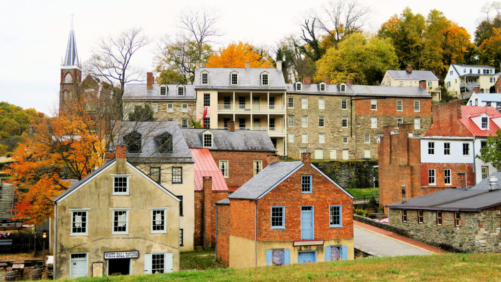
Harpers Ferry, WV
(Mile Marker 60.7)
Battle Grounds Bakery & Coffee
180 High St, Harpers Ferry, WV 25425
0.4 mile walk/bike from C&O Canal Lock 33
Harpers Ferry Brewing
37412 Adventure Center Lane, Purcellville, VA 20132
2.5 miles from the towpath in Harpers Ferry
H.B. Snallygaster’s General Store & Cafe
1102 W. Washington Street, Bolivar, WV 25425
1.6 miles from Maryland Heights Trailhead

Bolivar, WV
(Mile Marker 60.7)
Rations Roasters
1271 Washington Street, Bolivar, WV 25425
2.2 miles from C&O Canal towpath

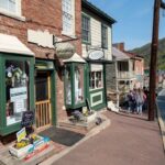
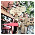
Shepherdstown, WV
(Mile Marker 76.8)
Bavarian Inn, Resort and Brewing Company
164 Shepherd Grade Road, Shepherdstown, WV 25443
0.7 mile walk/bike from the C&O Canal

Lost Dog Coffee Fine Arts Drink Emporium
134 E German Street, Shepherdstown, WV 25443
1.0 mile walk/bike from the C&O Canal

Shepherdstown Sweet Shop and Bakery
100 W German Street, Shepherdstown, WV 25443
1.0 mile walk/bike from the C&O Canal
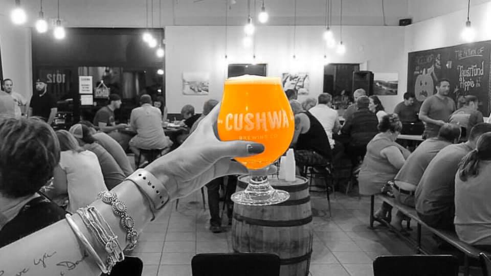
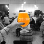
Williamsport, MD
(Mile Marker 99.4)
Cushwa Brewing Company
10210 Governor Lane Blvd. #2100, Williamsport, MD 21795
2.5 mile walk/bike from C&O Canal
River Bottom Roasters
10212 Governor Lane Blvd. #1008, Williamsport, MD 21795
2.5 mile walk/bike from C&O Canal

Cumberland, MD
(Mile Marker 184.5)
Basecamp Coffee Company
108 Greene Street, Cumberland, MD 21502
0.6 mile walk/bike from C&O Canal

What is TRACK Trails?
 TRACK Trails is an award-winning program by Kids in Parks that offers family-friendly outdoor adventures. By following the self-guided brochures and signs, your visit to the park becomes a fun and educational adventure. As you track your progress, you become eligible for prizes.
How does it work?
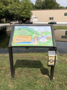
Start by going to the Kids in Parks TRACK Trail website and search your area on the map to find an adventure near you. Once you find a location, you can browse the adventures on the map under Find An Adventure. Sometimes TRACK Trail brochures are located at the park or attached to a TRACK Trail sign, but you can always access them on the Kids in Parks website.
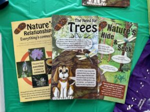
TRACK Trail adventures exist at three locations in the C&O Canal National Historical Park—Brunswick, Williamsport, and Hancock. For example, in Williamsport there are four different adventures: Conococheague Aqueduct Scavenger Hunt, Lock 44 Scavenger Hunt, Nature’s Hide & Seek, and Need for Trees. Many of the nature-based adventures are general enough they could be used throughout the Park.
After completing tasks, you can track them on your device to receive TRACKer gear. Different TRACK Trail adventures have different gear awarded, such as stickers and cards for hiking trails, disks for the disk golf courses, or bike bells and first aid kits for the bike trails, and more. The more adventures you complete, the cooler gear you get. You can see a full list of gear rewards here!
How did Kids in Parks and TRACK Trails come about?
Kids in Parks began in 2009 on the Blue Ridge Parkway, developed by the Blue Ridge Parkway Foundation in partnership with the National Park Service and the Blue Cross Blue Shield of North Carolina Foundation. As the program demonstrated easy implementation and effectiveness in getting children outdoors, Kids in Parks rapidly expanded to other parks and public lands across the country. Achievements of the program include endorsements by the American Academy of Pediatrics, awarded as a Let’s Move! Champion of Change by the White House, and acknowledgement for Outstanding Public Engagement by the Public Lands Alliance.
Park: You can get to the towpath from the town by bike or car when you head west on W. Potomac Street until you reach the Cushwa Basin parking lot. The towpath is located approximately 300 ft north west through the RailRoad Lift Bridge.
River access: There are two entry points for boats along the Potomac River at River Bottom Park. The park can be accessed by bike or on foot from the towpath 0.9-miles. west of Lockhouse 44. For car access to the boat ramp, make a right onto N. Commerce St from W. Potomac St heading east out of the Cushwa Basin parking lot. Then make a right onto W. Salisbury Street to cross the Bollman Bridge. Follow this path down 0.1-miles to reach the boat access point. The second access point is located 600 ft to the right of the bridge overpass.
Stay: Depending on your preference, Williamsport offers a variety of lodging options. If you are interested in staying close to the towpath Bay farms, Bed and Breakfast is two blocks down W. Salisbury Street, totaling 0.5- mi. It offers an ideal stop for overnight travelers, hikers, or cyclists. Red Roof Inn is located a short distance, 1.1-mi from the towpath on E. Potomac Street, and provides affordable economy lodging choices. Another overnight stay option is Elmwood Farm Bed and Breakfast, which showcases cozy rooms and historic barn settings. Two miles up the towpath heading north is Jordan Junction Campground. An excellent place for hikers and bikers on the move; portable water, toilets, picnic tables, and grills are available for use. For extensive overnight camping Safari Campground and Yogi Bears, Jellystone Park Resort reside at the cross-section of Kendle and Lappans Rd. Cabin rentals, tent sites, and water amenities are available at the camp resort.
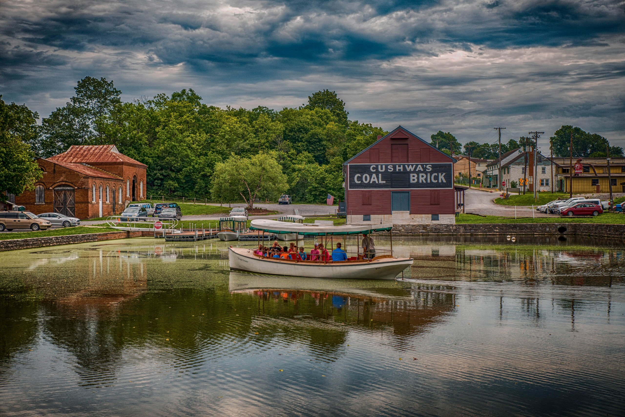
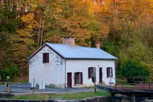
Cushwa Basin by Mark Crilley
Williamsport Aqueduct by John Gensor
Don’t Miss: The RailRoad Lift Bridge & Conococheague Aqueduct.
The Conococheague Aqueduct is an exciting access point for canal boat riders interested in the full canal experience. Since the permanent lifting of the RailRoad Lift Bridge in 2016, pedestrians have been given access to cross the canal through the bridge. The restoration allowed for the expansion of the canal boat tour. The launch boat ride now explores the full length, from the Cushwa Basin to Lockhouse 44, with an informative historical tour of the canal. The tour also includes the newly restored Conococheague Aqueduct, which allows for boat operations to continue. This area is the, “Only place in North America where visitors can view, an operational lift lock, railroad lift bridge, lockhouse, turning basin and warehouse. (NPS, Conococheague Aqueduct 2020)”
Eat: Dessert Rose Cafe
Desert Rose Cafe is located a convenient two blocks from the towpath, heading east on W. Potomac for 0.3 miles. The restaurant provides a relaxed space for those eating in and hikers, bikers, and pedestrians on the go. Bike racks, outdoor seating, and amenities for trail users are available, such as bike pumps, inner tubes, first aid, and more.
Chill: Byron Memorial Park
Byron Memorial Park is a brisk 0.8 miles from the towpath and leads into the center of town. This is a multiuse park that is located at the interaction of E Potomac St and Park Rd. Byron Memorial Park is known for its eventful celebrations encompassing car shows, concerts, and elaborate holiday celebrations such as Christmas lights and Fourth of July displays. Besides festivals, the park offers different facility rentals for those interested in using the Williamsport Community Building, pavilions, bandstand, gazebo rentals, and other rentals advertised on the Williamsport Town website.
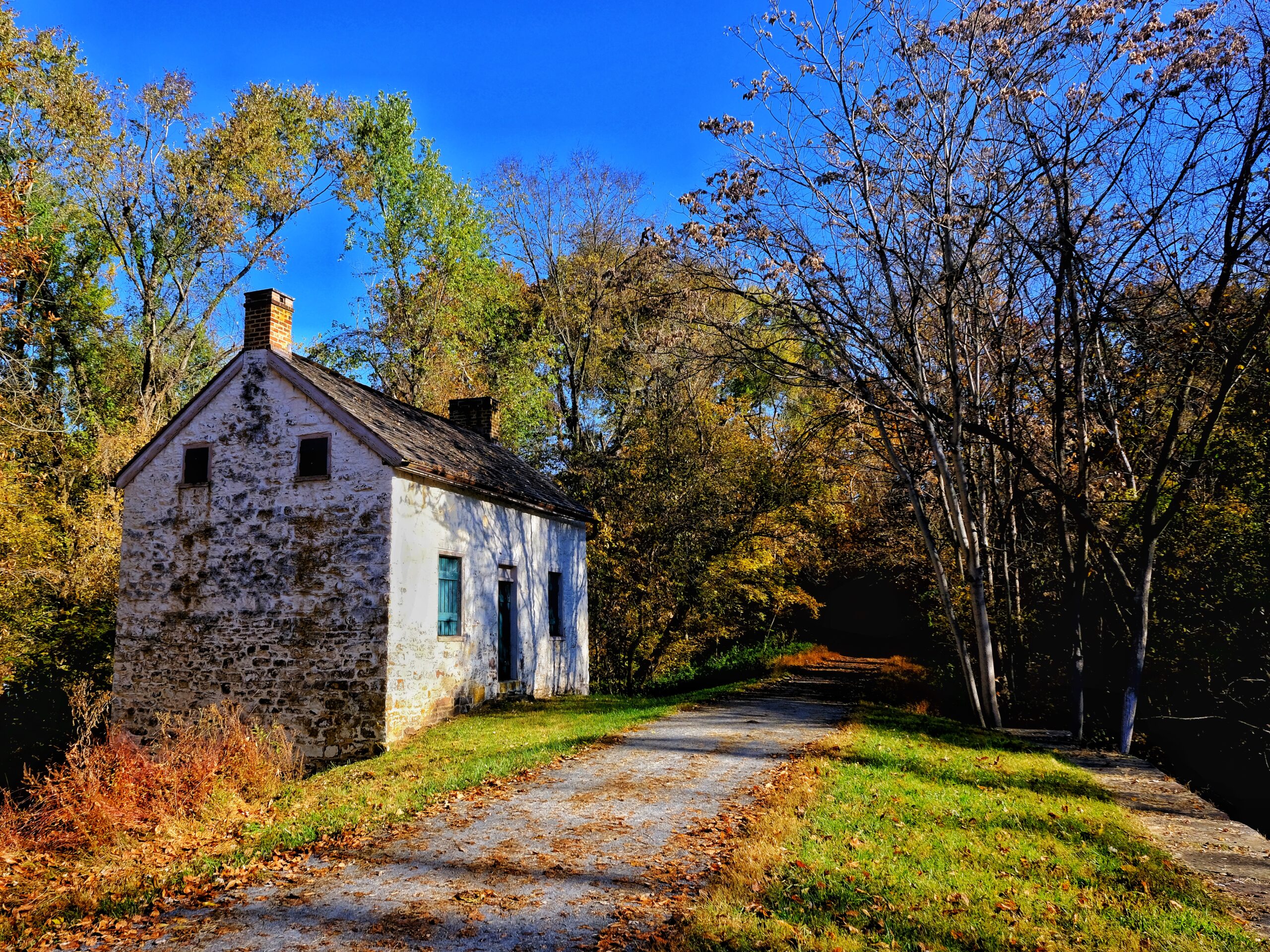
If you have time: Visit Lockhouse 44
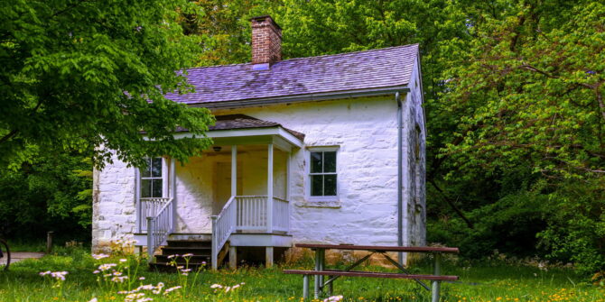
Located at mile marker 99.1 on the towpath, Lockhouse 44 stands along the canal. It was built in 1834 out of white and gray limestone; it now serves as a historical exhibit for requested tours. It is one of few surviving Lockhouse’s that initially maintained and operated the boat-locking system along the canal.
Come back for: Springfield Farm.
Springfield Farm is perfect for history fanatics interested in following the rich history of Williamsport. The Springfield farm is one of the largest barns in Maryland built by Otho Holland Williamsport himself in 1755. The estate contains a museum, two four bays, and a participant of the Living Legacy Project, an initiative dedicated to the 150th Anniversary of the Civil War and the fallen soldiers. Although the property is commemorated for its historical contributions, it is also available for reception, community events, fundraisers, banquets, and more. Questions can be directed to their email [email protected] or phone number listed on the website.
Events: Fourth of July Fireworks Display
If fun and exciting celebrations are what you are looking for, join Williamsport in celebrating Independence day at Byron Memorial Park. It is a free venue that provides live local music performances, vendors, and a grand firework display.
Along the Towpath in Williamsport by Ed Crawford
https://www.canaltrust.org/pyv/jordan-junction-campsite/
https://jellystonemaryland.com
https://williamsportmd.gov/about-us/
https://williamsportmd.gov/visitors/byron-memorial-park/
http://washingtoncountyhistoricaltrust.org/70-springfield-farm-barn-circa-1776-1880-williamsport-md/
https://williamsportmd.gov/visitors/springfield-farm/
https://www.nps.gov/choh/planyourvisit/williamsport-launch-boat-program.htm
https://www.visitmaryland.org/article/4th-of-july-celebrations

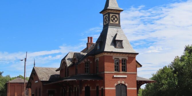
Park: You can get to the towpath from town by a car when you head west on Potomac Street. Make a right onto S. Maple Ave. Head south past the Brunswick Train Station and over the tracks where a small dirt parking lot resides next to the towpath.
River access: There are two points of access for boats along the Potomac River. Larger boats can access the river by making a right through the railroad parking lot. Follow this to reach the river access point. The second access point is located at Brunswick Family Campground. Make a left onto the towpath from S. Maple Ave. Follow the towpath for 0.4 miles to arrive at the campground and access point.
Stay: Visitors can find a cozy room at the Travel Lodge or the Holiday Inn. They offer rooms for leisure, adventures, and business space. 0.6 miles on the towpath is the Brunswick Family Campground. This campsite includes tent sites, dumping stations, full hook-up sites, limited wifi, and other amenities.
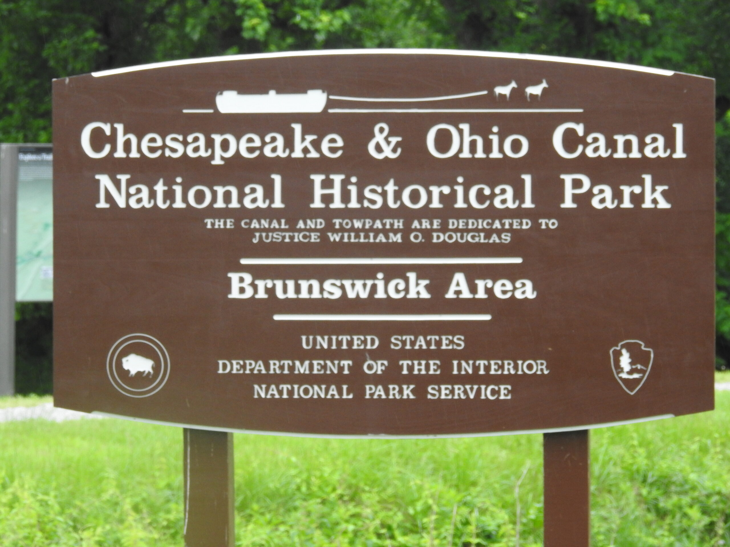
Brunswick, C&O Canal Park Sign by Paulie Ward
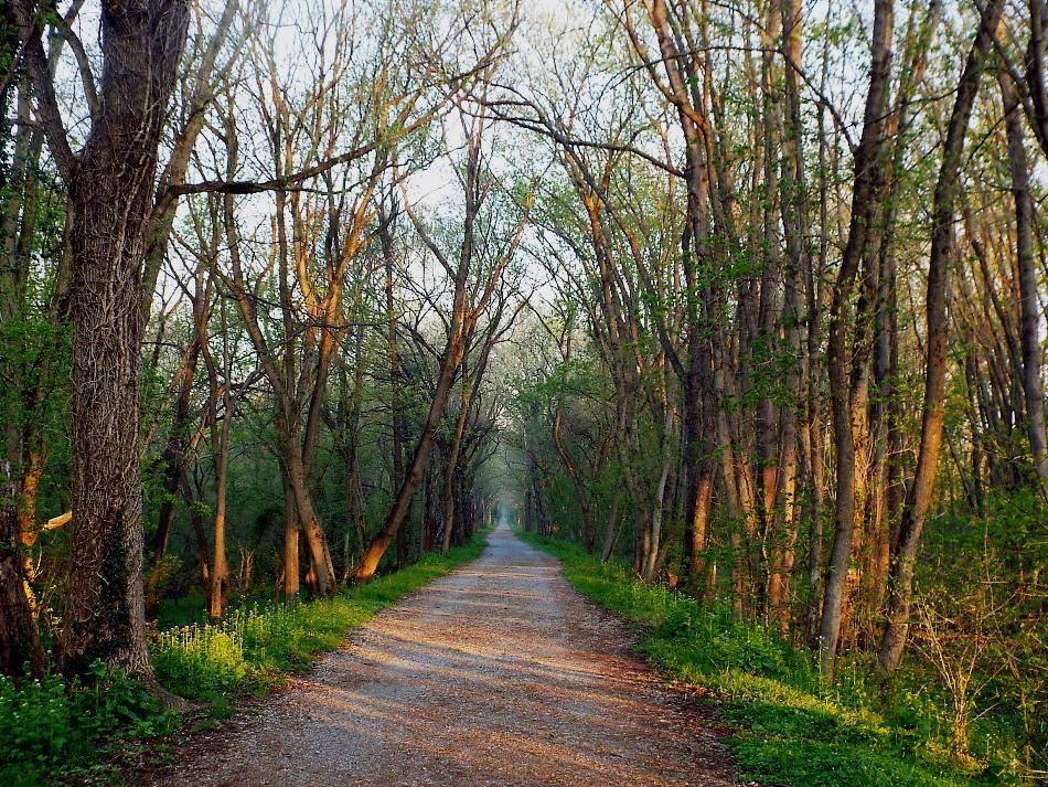
Towpath in Brunswick, MD by Jerry Knight
Don’t Miss: The Visitor Center & Brunswick Heritage Museum
The Heritage Museum doubles as two museums in one, while also sharing a building with the Brunswick Visitor Center. The second floor tells of how the town was shaped by the railroad, and the third floor depicts a 1700 square HO scale model of the B&O Metropolitan Subdivision. In 1890, the Baltimore &Ohio Railroad came to Brunswick, increasing travel to and from Brunswick. Remains of the railroad yard are still visible to this day and were known as the longest railroad yard owned by a single company, totaling 5 miles of the rail yard.
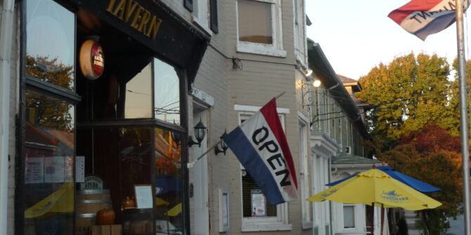
Eat: Beans & the Belfry
Beans & the Belfry is a cozy, hiker, biker, friends, and family cafe located just .4 miles from the towpath on W. Potomac St. They offer indoor and outdoor seating with complimentary bike racks. Beans & Belfry has what you need to stay refreshed. They serve hot dishes, sweet desserts, refreshing snacks, all-day breakfast, and more. Live entertainment can be found Friday and Saturday from 7-9:30 pm, and live Jazz brunch on Sunday at 11 am-2 pm.
Chill: The City Park Building & Parks
The City Park Building is located at 655 East Potomac Street, which is open for public access and private rentals. Amenities include a small kitchen, tables chairs, and restrooms. Other recreational spaces include the Corner Park located on Maple Ave and W. Potomac St., three minutes from the towpath, and a Brunswick dog park located .6 miles from the towpath on E. Potomac St.
If you have time: Visit Remains of Lock 30 or the Rivers Edge Trials
Located at mile marker 55 on the towpath, the red Seneca sandstone and Patapsco granite rubble of the Lockhouse are still visible today. Next to the remains of Lock 30, a bridge carries Route 17 over the Potomac, replacing previous ferries and a wooden bridge that burned down by the Confederacy early in the Civil War. The Rivers Edge Trails are 2.9 miles from the towpath located on 13th Avenue and great for bikers looking for intermediate trails. The path consists of a single rolling track six miles in length with four route options. Natural cuts, berms, and switchbacks are an added plus to increase momentum and intensity.
Come back for: Boxcar Burgers & Towpath Creamery
This two-in-one unique restaurant deserves a stop, especially if you are looking for burgers and ice cream to fill you up and cool you down. They share the same building, only a brisk five-minute walk from the towpath. Boxcar Burgers serves “ simple food, done well made from the best local ingredients,” while the Towpath Creamery “offers healthy, all-natural farm-fresh ice cream from both Cold Run Creamery and South Mountain Creamery.”
Events: Fun Runs, Bike rides & Wine and Chocolate Walks
If running is your thing, sign up for the Potomac Street Mile. It will be taking place from August 1st through the 15th. Be sure to sign up before the close of registration on July 31st, 2020.
If biking is more your style, support Brunswick on August, 2nd 2020, and join Throwback on the Towpath. A physical distanced ride dedicated to celebrating the history of penny farthings, welcoming all riders.
Further down the calendar, Saturday, September 5th, Brunswick will be hosting wine and luxury chocolates. Local venues gather to offer delicious samples, food selections, while live music cascades through the streets.
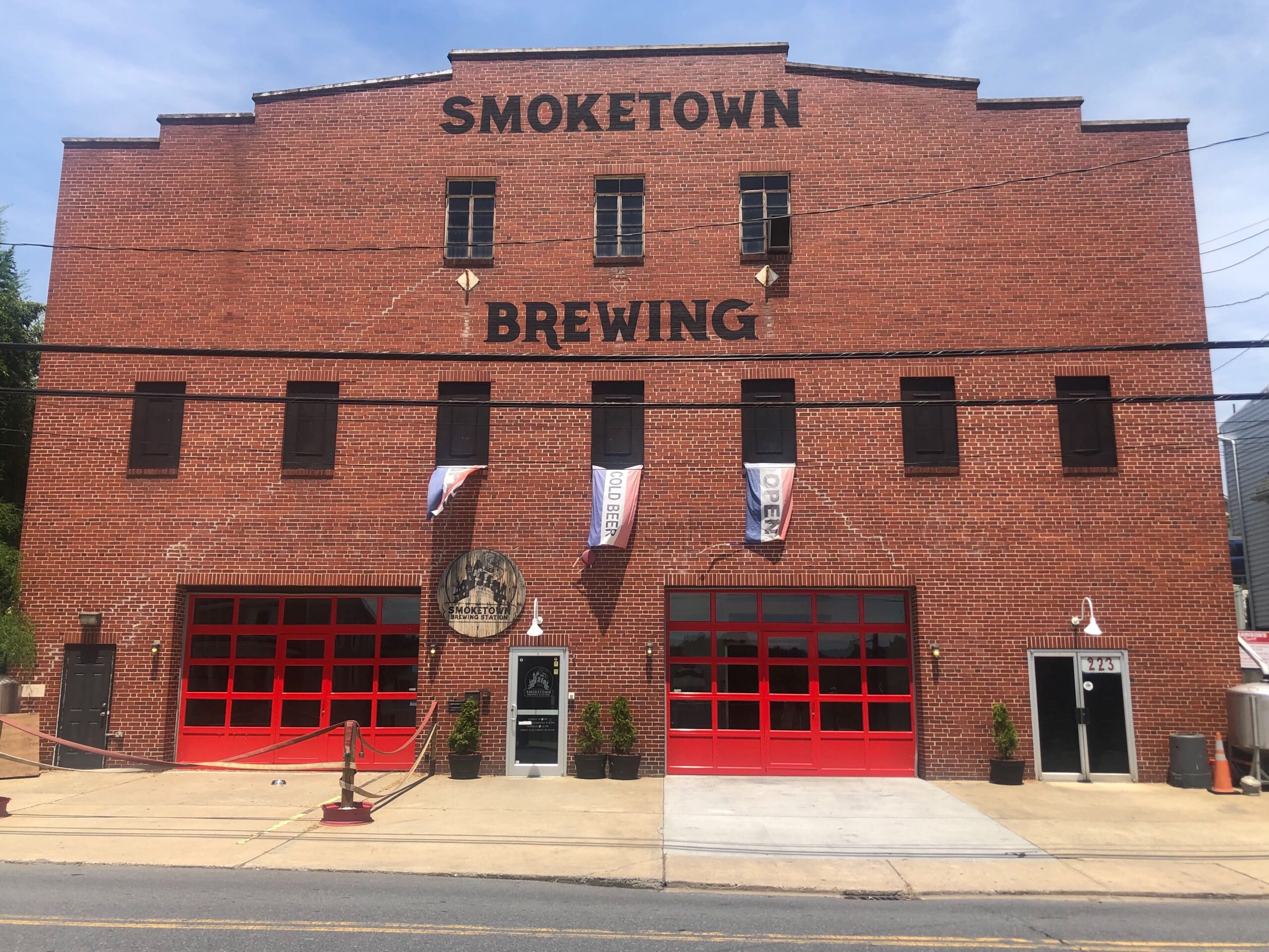
Smoketown Brewing by Esther Herbers
Brunswick
- About Boxcar. (2020). Retrieved July 29, 2020, from http://www.boxcarcatering.com/about-boxcar/
- City Hall. (2020, July). Parks, Recreation, and Pool. Retrieved July 29, 2020, from https://brunswickmd.gov/?SEC=CF1E2F23-FC1F-4F29-870E-35A7D96F5FB7
- Creamery, T. (2020). Towpath Creamery. Retrieved July 29, 2020, from http://www.towpathcreamery.com/
- Heritage Museum, B. (2020, July). About. Retrieved July 29, 2020, from http://brunswickmuseum.org/about/
- High, M. (2000). The C & O Canal companion. Baltimore, MD: Johns Hopkins University Press.
- N. (2020). Brunswick Visitor Center. Retrieved July 29, 2020, from https://www.nps.gov/choh/planyourvisit/brunswickvisitorcenter.htm

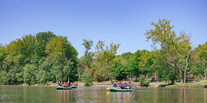
During this stressful time of social distancing and isolation, it is critically important you take care of your physical and mental health. Fortunately, the C&O Canal National Historical Park can offer you fresh air, relaxation, and a break from the news coverage. The western section of the C&O Canal offers many remote points of interest that are less frequently visited than popular eastern hubs such as Great Falls. Consider visiting some of these western gems along the canal for a stroll or a bike ride along the towpath — but make sure you are following all social distancing guidelines. If you have kids, take our C&O Canal Scavenger Hunt with you!
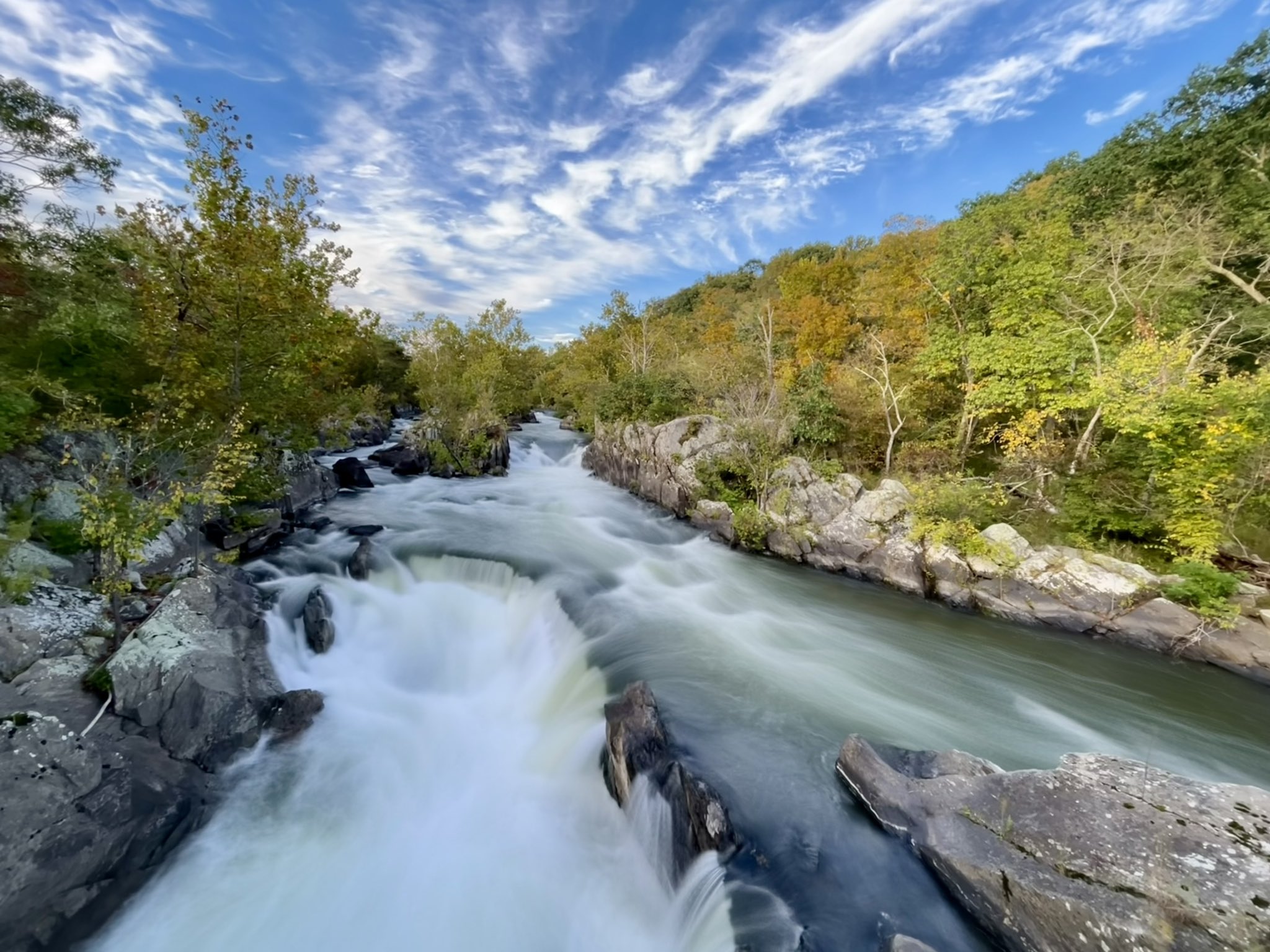
The air is crisp and cool, and pumpkin spice is on every menu – fall is here! We are particularly partial to autumn along the C&O Canal, and we have assembled a list of things you can do to enjoy the season:
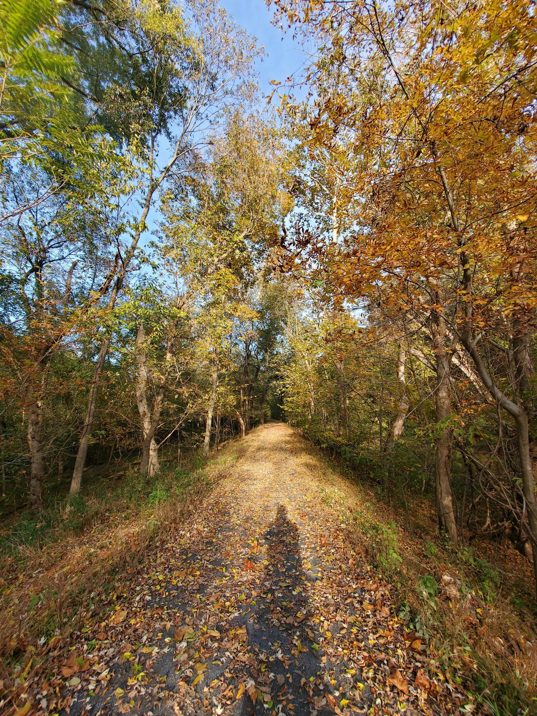
If you’re planning on heading out to hike or bike along the towpath in the next couple of weeks, you might want to try out the five-mile section between Edwards Ferry and Whites Ferry (Mile 30.8 – Mile 35.5). This is the first stretch of the towpath to undergo a complete “makeover” as part of the Park’s multiyear, 80-mile towpath resurfacing project. The towpath has been graded to facilitate water drainage, and resurfaced with the same durable material that bikers enjoy on the Great Allegheny Passage (Trail) from Pittsburgh to Cumberland. (more…)
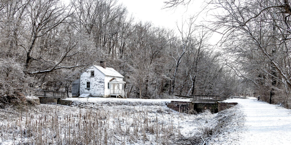
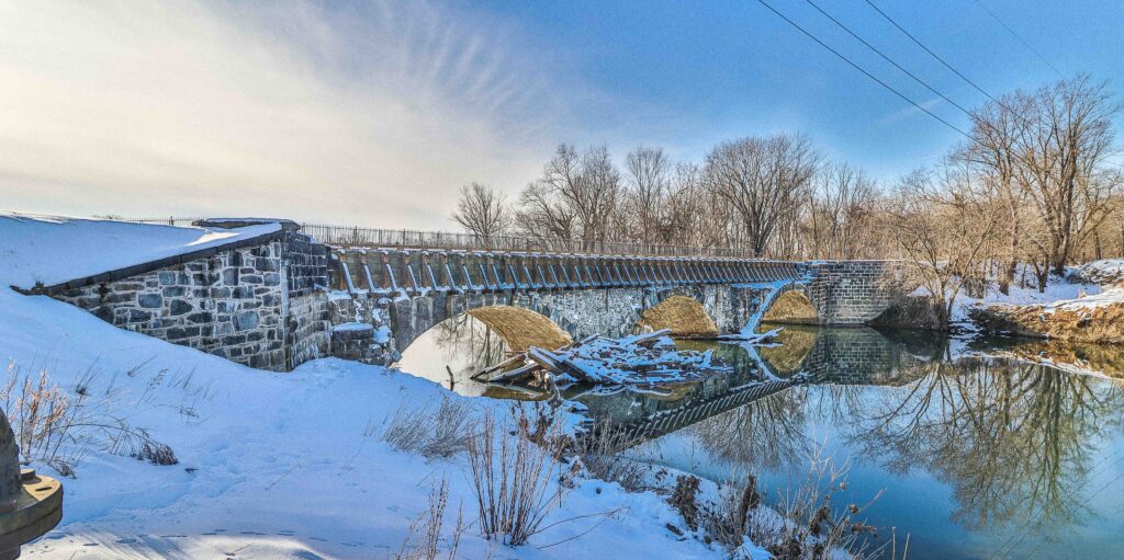
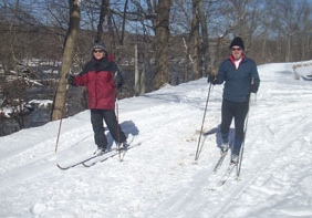
The C&O Canal National Historical Park has much to offer during the winter months to park visitors who enjoy the colder temperatures. Snow on the ground provides the opportunity for snowshoeing and cross-country skiing and offers a beautiful backdrop for hiking, dog walking, bird watching, and photography. Frigid temperatures usually find folks taking to the ice for a solitary skate or a pickup game of ice hockey. Enjoy winter photos of the C&O Canal National Historical Park, courtesy of our monthly Facebook photo contest entrants. (more…)
Interested in a wild and wonderful combo of cutting-edge theater, outdoor adventure, and sight-seeing? If so, visit Shepherdstown, West Virginia in July! (more…)
The Canal Towns that border the C&O Canal National Historical Park are home to some of the area’s most unique and exciting annual events. If you haven’t attended these shindigs in the past, make sure to add them to your calendar this year! (more…)
We are looking for volunteers to help us in the Park during our 10th annual Canal Pride events, the largest volunteer events in the C&O Canal National Historical Park each year! We hope you will make plans to join us to help spruce up the Park for the upcoming season. (more…)
![]()
C&O Canal Explorer Mobile App
The C&O Canal Trust is proud to release its new C&O Canal Explorer app to help you explore all 184.5 miles of the C&O Canal National Historical Park. Android and Apple versions are available.
Learn more and download the C&O Canal Explorer Mobile App here!