
About Williamsport, Maryland
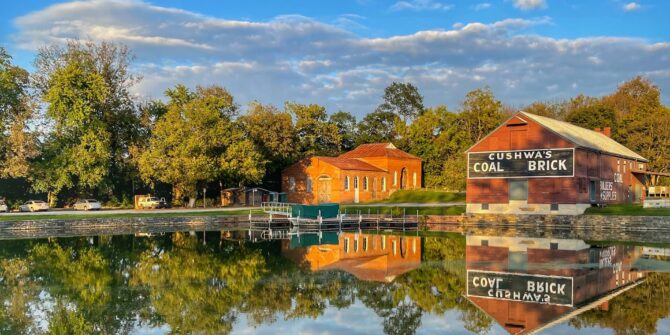
In the earliest debates over where to site the new nation’s capital, the mouth of the Conococheague Creek where Williamsport now stands was among the locations seriously considered. The town found its purpose differently: when the C&O Canal came through in the 1830s, Williamsport became a busy transfer point for coal, lumber, and grain moving down the waterway toward the coast, and the Cushwa Warehouse — built around 1790 and still standing on the canal basin — became the physical center of that trade. The floods of 1924 ended the commercial era and left the basin quiet. But the warehouse is now the C&O Canal Visitor Center, its brick walls two centuries thick with river commerce, and the canal at Williamsport is wide, accessible, and one of the most welcoming stretches on the entire corridor.
Getting There
Parking Access
Williamsport sits directly on the C&O Canal National Historical Park. From downtown Williamsport, head south on Potomac Street to the Cushwa Basin, where the C&O Canal Visitor Center and canal access are located at Mile 99.6. Ample parking is available for day and overnight use.
River Access
The Williamsport Boat Ramp is located at River Bottom Park off Salisbury Road, with parking for about 25 vehicles. A hydroelectric dam just downstream creates a broad flatwater section well-suited for recreational paddling, and the mouth of Conococheague Creek nearby is a productive spot for smallmouth bass and catfish fishing.
Where to Stay
The closest Canal Quarters property is Lockhouse 49, located at mile marker 108.7 near Clear Spring, about nine miles east of town. Built in 1837–1839 and furnished in 1920s style, the lockhouse sleeps up to eight guests, has electricity but no indoor plumbing, and offers a peaceful hilltop setting at the historic Four Locks. Hiker/biker campsites are also available along the towpath near town.
Town Highlights You Don't Want to Miss:
For History Lovers:
Cushwa Basin Visitor Center
The C&O Canal’s only half-mile stretch that contains all of its major structure types — lockhouse, turning basin, aqueduct, and warehouse — in one continuous view. The NPS visitor center here is one of the better-interpreted stops on the entire canal, and the Conococheague Aqueduct that carries the canal over the creek is a fine piece of 19th-century masonry engineering.
Railroad Lift Bridge
A vertical lift bridge spanning the Potomac where the Western Maryland Railway once crossed into West Virginia, this industrial relic is one of the more dramatic structures visible from the towpath. The towers, counterweights, and suspended span remain largely intact, a legible piece of early 20th-century railroad engineering sitting quietly alongside its much older canal neighbor.
For Outdoor Enthusiasts:
The Cushwa Basin area is one of the most accessible river put-ins on the upper canal. A popular beginner kayak route runs 5 miles along the Potomac past the Conococheague Aqueduct, with the towpath running parallel for those who prefer to stay on land.
For anglers, this stretch of the Potomac is prime smallmouth bass water. The confluence of the Conococheague Creek and the river creates the kind of structure bass fishermen seek out, and the Cushwa area gives easy bank access without requiring a boat.
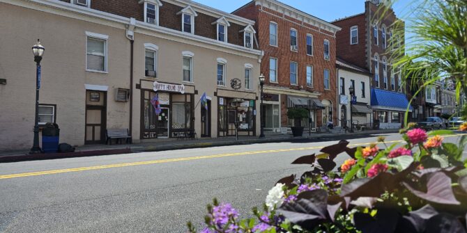
On the towpath, Williamsport’s position at Mile 99 makes it a natural staging point for cyclists tackling the canal in sections. Day-trippers can ride east toward the Conococheague Aqueduct and Dam 5, or west toward Big Pool and Fort Frederick, with Williamsport’s commercial strip a good place to pause, resupply, and mark the accomplishment before pushing on.
Where To Eat and Drink:
Sweet Notes Bakery handles the morning shift, with baked goods worth an early stop, while Ruth’s Market has freshly made food you can grab for a picnic along the canal. By evening, the C&O Canal Grill & Pub will nourish you at the end of a long day on the towpath.
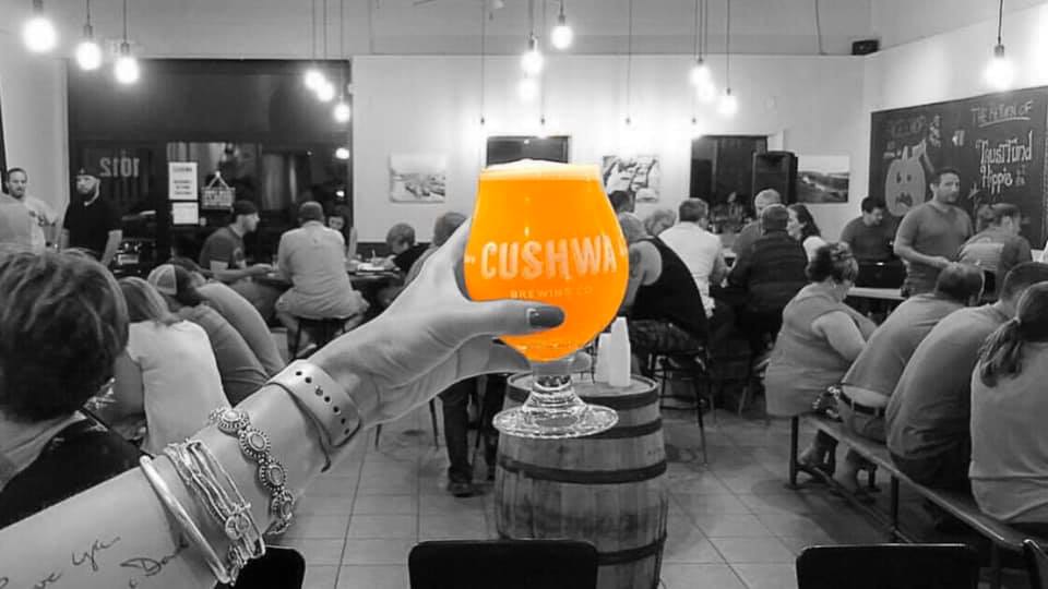
A short drive from the towpath, Cushwa Brewing Company occupies a converted industrial building and is one of the better craft beer stops in the region.
Photos by Jane Schmidt, Beth Sherwood, Chad Rooney