fbpx Skip to main content
Category

Things to Do

Recreate Responsibly with Your Dog in the C&O Canal National Historical Park

By Planning Your Visit, Things to Do

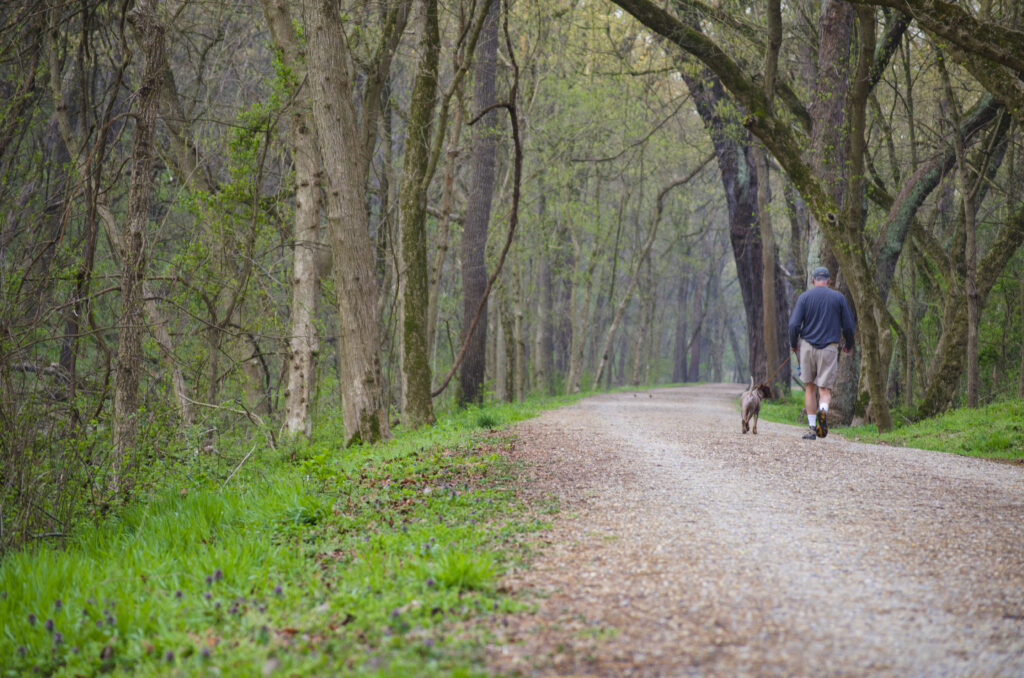
Photo by Trust Staff

The C&O Canal National Historical Park (NHP) is filled with natural beauty, rich history, and recreational opportunities. Many visitors enjoy sharing the Park with their four-legged companions. However, ensuring a positive experience requires proper planning in order to recreate responsibly. The National Park Service asks that all visitors with pets remember to B.A.R.K.:

Bag your pet’s poop

  • Properly bag and dispose of your pet’s waste. The Chesapeake & Ohio Canal NHP is a trash-free Park, and garbage cans are not available. Pet owners should plan ahead to clean up and remove their trash, leaving the Park as they found it.
  • Leaving bagged waste on the trail is littering. This includes parking areas, trailheads, signs, and milemarkers.
  • Pet waste left on the ground makes a mess for others and harms the water quality in the park.

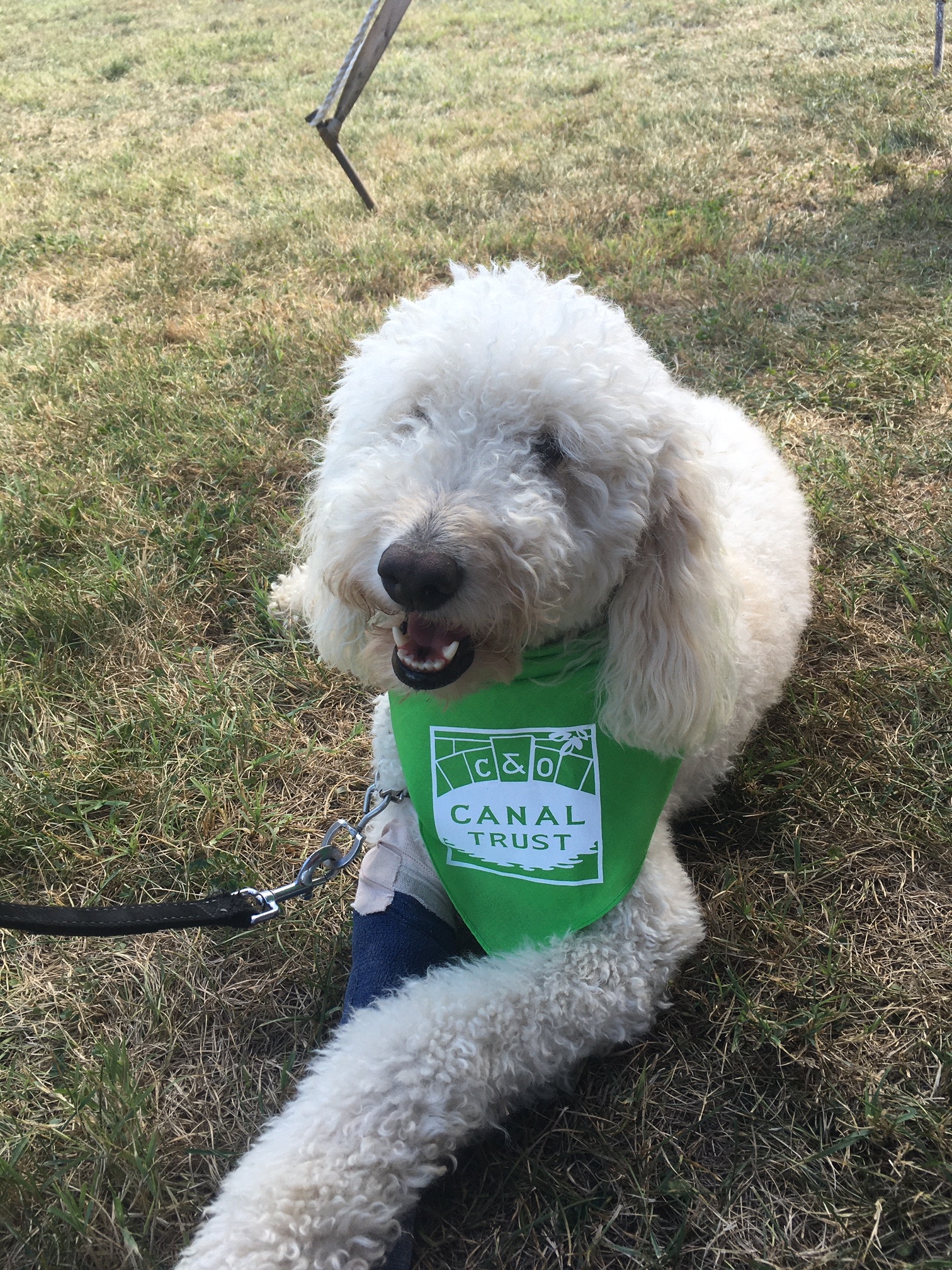
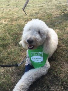
Tater the Doodle by Callie Fishburn

Always keep your pet on a leash

  • Pets must be restrained on a leash no longer than 6 feet.
  • GPS pet trackers are not leashes.
  • Keeping pets on a leash protects people, plants, wildlife, and your pet.

Respect all animals

  • Keep your pet at a respectful distance from any wildlife or other animals you encounter.
  • Off-leash pets may spook horses or mules on the C&O Canal towpath.
  • Off-leash pets can injure and alter the behavior of wildlife in the Park.

Know the rules

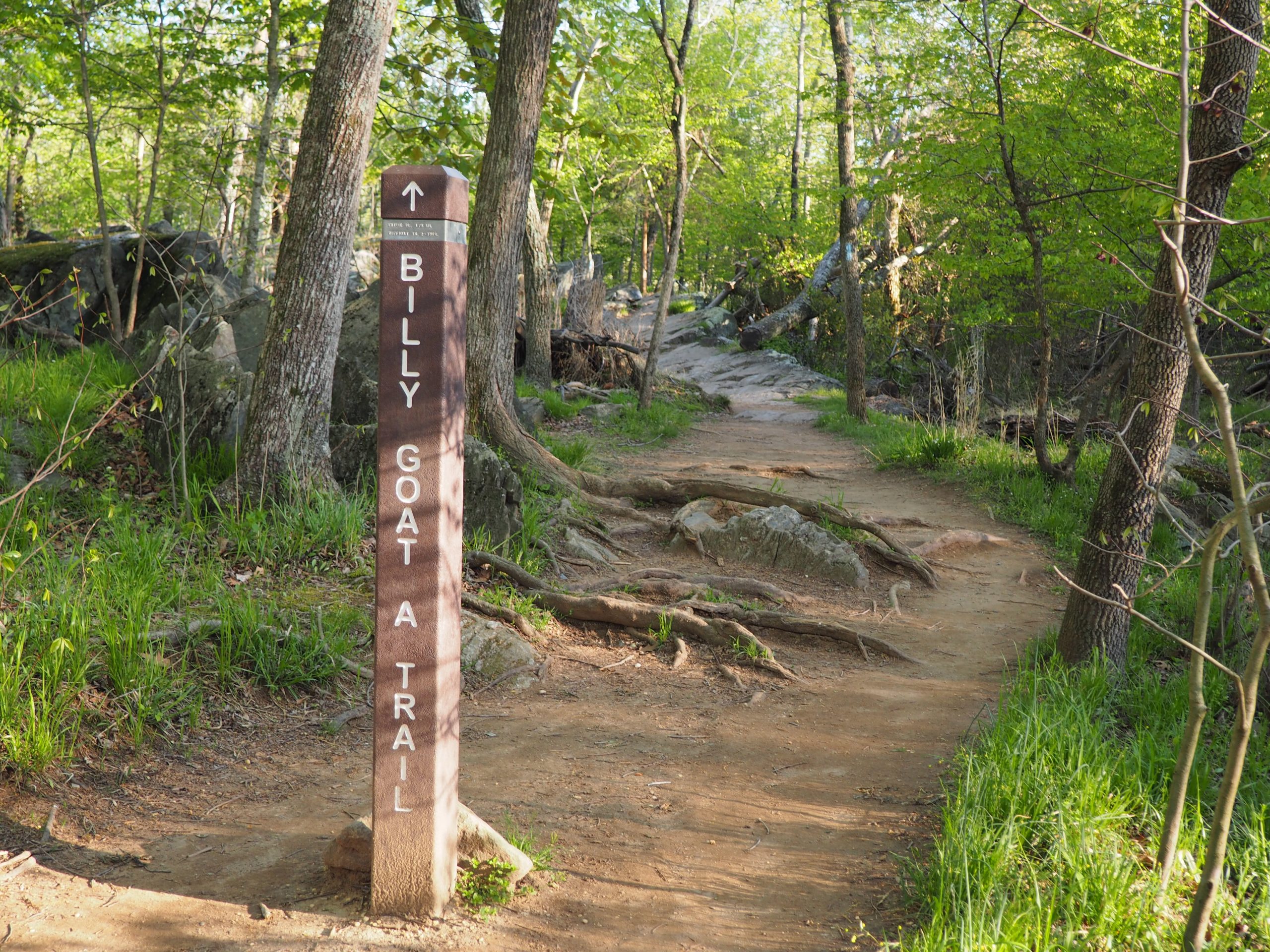
  • Pets are not allowed on the Billy Goat Trail section A, or on the boardwalk to Great Falls.
  • Stay on marked trails. Going off-trail can damage sensitive plants and cause erosion. Pets are more likely to pick up ticks when off-trail.

These regulations and laws exist to keep pets, visitors, and park resources safe. There are no exceptions to the regulations for carried pets (in arms, carriers, strollers, backpacks, etc.) in restricted areas of the park. For more information, please consult the Superintendent’s Compendium.

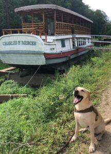
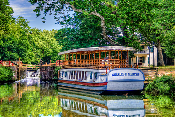
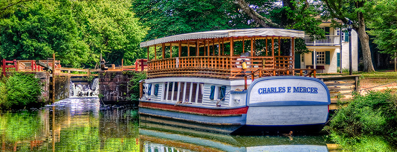
Dog and Charles F Mercer at Great Falls by Marc Llacuna

Please be mindful of weather conditions when bringing your pet to the park. Extreme temperatures, both hot and cold, can sometimes be dangerous to pets. Water fountains are available at some locations in the Park, but visitors should plan ahead and bring water for their pets.

Service Animals
Qualified service animals assisting visitors with disabilities are permitted throughout the Park and in all Park facilities. Service animals must be on a leash and picked up after.

Recreating responsibly with your dog in the C&O Canal NHP is not only about following Park rules but also about fostering a sense of stewardship for the natural and cultural resources. By knowing the regulations, keeping your dog on a leash, practicing good waste management, staying on designated trails, and being considerate of wildlife and other visitors, you can ensure a positive experience while preserving the Park’s integrity. Let’s cherish this remarkable resource and create lasting memories with our furry friends while following B.A.R.K. principles. By embracing these principles, we can continue to enjoy the beauty of the C&O Canal NHP  for generations to come.

Explore the C&O Canal’s TRACK Trails

By Explore Your Canal, Nature, Planning Your Visit, Things to Do, Uncategorized

What is TRACK Trails?

TRACK Trails is an award-winning program by Kids in Parks that offers family-friendly outdoor adventures. By following the self-guided brochures and signs, your visit to the park becomes a fun and educational adventure. As you track your progress, you become eligible for prizes.

How does it work?

TRACK Trail in Hancock by Trust Staff

Start by going to the Kids in Parks TRACK Trail website and search your area on the map to find an adventure near you. Once you find a location, you can browse the adventures on the map under Find An Adventure. Sometimes TRACK Trail brochures are located at the park or attached to a TRACK Trail sign, but you can always access them on the Kids in Parks website.

TRACK Trail adventures exist at three locations in the C&O Canal National Historical Park—Brunswick, Williamsport, and Hancock. For example, in Williamsport there are four different adventures: Conococheague Aqueduct Scavenger Hunt, Lock 44 Scavenger Hunt, Nature’s Hide & Seek, and Need for Trees. Many of the nature-based adventures are general enough they could be used throughout the Park.

After completing tasks, you can track them on your device to receive TRACKer gear. Different TRACK Trail adventures have different gear awarded, such as stickers and cards for hiking trails, disks for the disk golf courses, or bike bells and first aid kits for the bike trails, and more. The more adventures you complete, the cooler gear you get. You can see a full list of gear rewards here!

How did Kids in Parks and TRACK Trails come about?

Photo by Trust Staff

Kids in Parks began in 2009 on the Blue Ridge Parkway, developed by the Blue Ridge Parkway Foundation in partnership with the National Park Service and the Blue Cross Blue Shield of North Carolina Foundation. As the program demonstrated easy implementation and effectiveness in getting children outdoors, Kids in Parks rapidly expanded to other parks and public lands across the country. Achievements of the program include endorsements by the American Academy of Pediatrics, awarded as a Let’s Move! Champion of Change by the White House, and acknowledgement for Outstanding Public Engagement by the Public Lands Alliance.

6 Things We Love About Spring on the Canal

By Things to Do

As spring has officially sprung, we here at the Trust can only hope for more consistent weather. And while there’s probably still a bit more cold weather to come, the next few weeks look like they could be the true beginning of warm weather for the Canal.

In honor of spring (slowly) coming to the area, we at the Trust have compiled a list of things we love about spring on the Canal. Read More

Register for a Tour of Abner Cloud House

By Things to Do

The Abner Cloud House is one of the oldest existing structures on the Canal. In 1801 Abner Cloud, Jr., built a random rubble stone house with the help of Italian stonemasons, probably using stone from local quarries. 

The C&O Canal Trust is proud to partner with the Colonial Dames of America, Chapter III, who will be offering free 20-minute tours of the house as part of National Kids to Parks Day. Groups are limited to 5 people or one household per tour.

Some considerations:

  • Please be on time for your tour. If you are five minutes late, your spot may be given to someone else. 
  • If you need to cancel, please call (240) 202-2625 x 191 or email [email protected].
  • Facemasks are not required, but masks and hand sanitizer will be available for those who need them. 
  • This tour involves climbing two fairly tall flights of stairs. 

Thank you!

A Day in Williamsport, Maryland – An Itinerary

By Blog, Explore Your Canal, Planning Your Visit, Things to Do, Towns and Communities

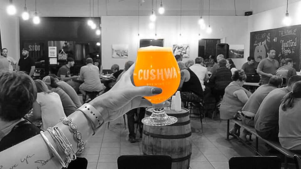
Park: You can get to the towpath from the town by bike or car when you head west on W. Potomac Street until you reach the Cushwa Basin parking lot. The towpath is located approximately 300 ft north west through the RailRoad Lift Bridge.    

River access: There are two entry points for boats along the Potomac River at River Bottom Park. The park can be accessed by bike or on foot from the towpath 0.9-miles. west of Lockhouse 44. For car access to the boat ramp, make a right onto N. Commerce St from W. Potomac St heading east out of the Cushwa Basin parking lot. Then make a right onto W. Salisbury Street to cross the Bollman Bridge. Follow this path down 0.1-miles to reach the boat access point. The second access point is located 600 ft to the right of the bridge overpass.

Stay: Depending on your preference, Williamsport offers a variety of lodging options. If you are interested in staying close to the towpath Bay farms, Bed and Breakfast is two blocks down W. Salisbury Street, totaling 0.5- mi. It offers an ideal stop for overnight travelers, hikers, or cyclists. Red Roof Inn is located a short distance, 1.1-mi from the towpath on E. Potomac Street, and provides affordable economy lodging choices. Another overnight stay option is Elmwood Farm Bed and Breakfast, which showcases cozy rooms and historic barn settings. Two miles up the towpath heading north is Jordan Junction Campground. An excellent place for hikers and bikers on the move; portable water, toilets, picnic tables, and grills are available for use. For extensive overnight camping Safari Campground and Yogi Bears, Jellystone Park Resort reside at the cross-section of Kendle and Lappans Rd. Cabin rentals, tent sites, and water amenities are available at the camp resort. 

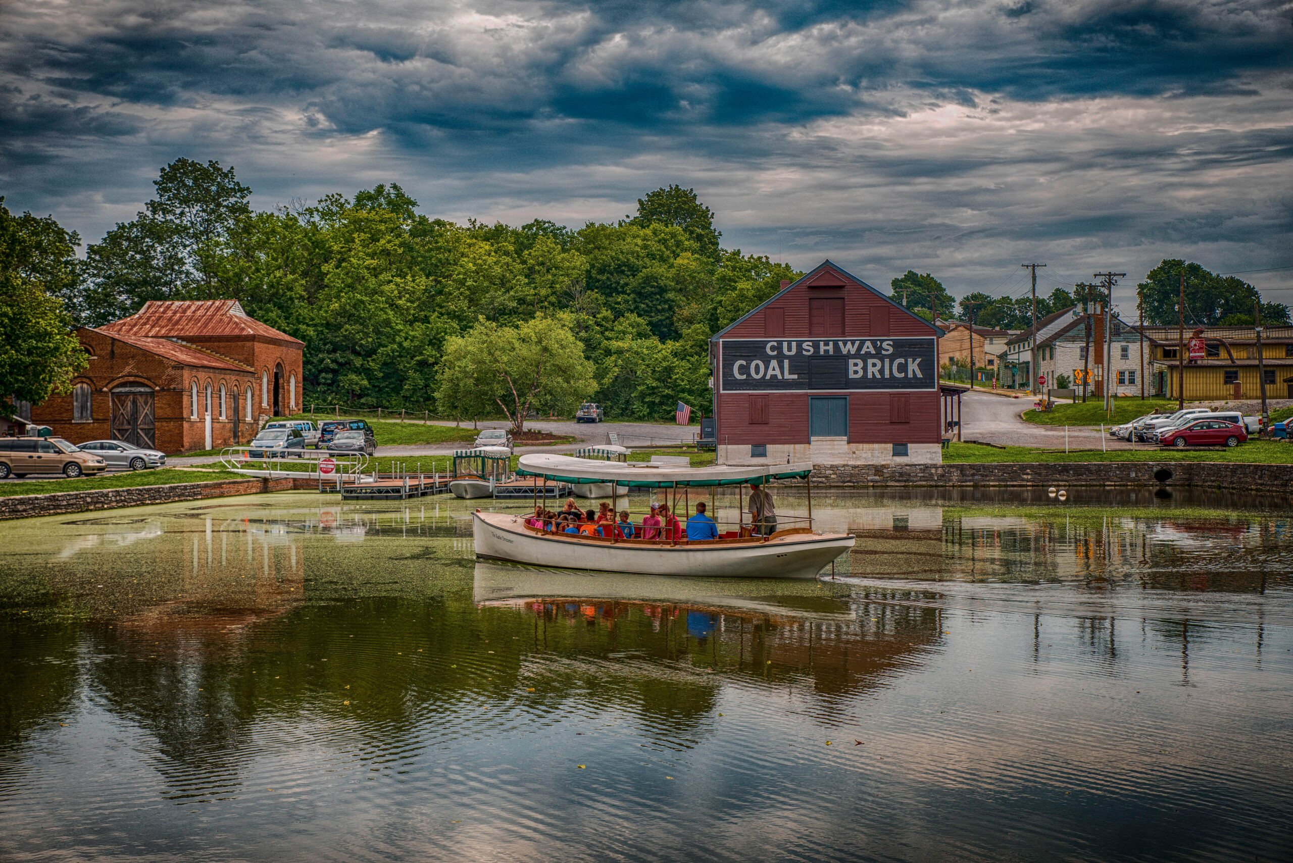
Cushwa Basin by Mark Crilley
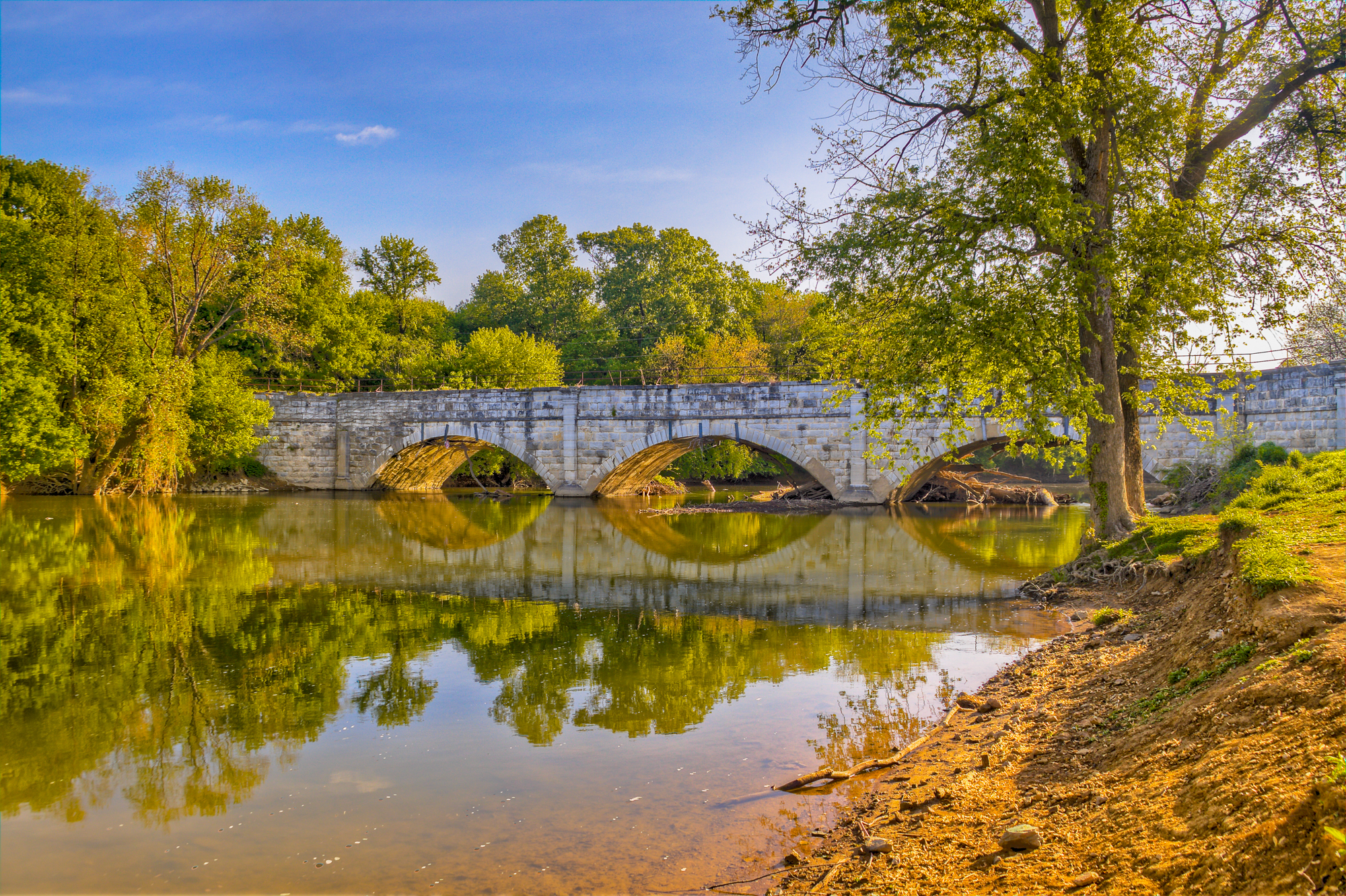
Williamsport Aqueduct by John Gensor

Don’t Miss: The RailRoad Lift Bridge & Conococheague Aqueduct.

The Conococheague Aqueduct is an exciting access point for canal boat riders interested in the full canal experience. Since the permanent lifting of the RailRoad Lift Bridge in 2016, pedestrians have been given access to cross the canal through the bridge. The restoration allowed for the expansion of the canal boat tour. The launch boat ride now explores the full length, from the Cushwa Basin to Lockhouse 44, with an informative historical tour of the canal. The tour also includes the newly restored Conococheague Aqueduct, which allows for boat operations to continue. This area is the, “Only place in North America where visitors can view, an operational lift lock, railroad lift bridge, lockhouse, turning basin and warehouse. (NPS, Conococheague Aqueduct 2020)”  

Eat: Dessert Rose Cafe 

Desert Rose Cafe is located a convenient two blocks from the towpath, heading east on W. Potomac for 0.3 miles. The restaurant provides a relaxed space for those eating in and hikers, bikers, and pedestrians on the go. Bike racks, outdoor seating, and amenities for trail users are available, such as bike pumps, inner tubes, first aid, and more. 

Chill: Byron Memorial Park

Byron Memorial Park is a brisk 0.8 miles from the towpath and leads into the center of town. This is a multiuse park that is located at the interaction of E Potomac St and Park Rd. Byron Memorial Park is known for its eventful celebrations encompassing car shows, concerts, and elaborate holiday celebrations such as Christmas lights and Fourth of July displays. Besides festivals, the park offers different facility rentals for those interested in using the Williamsport Community Building, pavilions, bandstand, gazebo rentals, and other rentals advertised on the Williamsport Town website.   

If you have time: Visit Lockhouse 44 

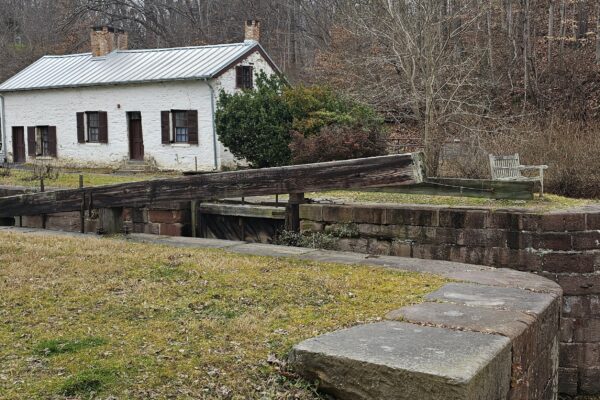
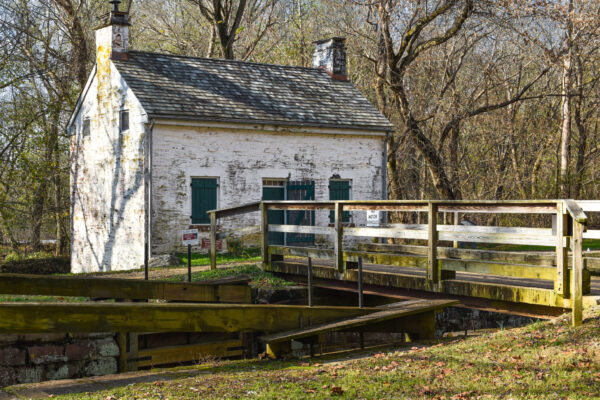
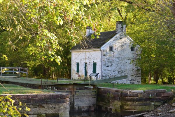
Located at mile marker 99.1 on the towpath, Lockhouse 44 stands along the canal. It was built in 1834 out of white and gray limestone; it now serves as a historical exhibit for requested tours. It is one of few surviving Lockhouse’s that initially maintained and operated the boat-locking system along the canal. 

Come back for: Springfield Farm

Springfield Farm is perfect for history fanatics interested in following the rich history of Williamsport. The Springfield farm is one of the largest barns in Maryland built by Otho Holland Williamsport himself in 1755. The estate contains a museum, two four bays, and a participant of the Living Legacy Project, an initiative dedicated to the 150th Anniversary of the Civil War and the fallen soldiers. Although the property is commemorated for its historical contributions, it is also available for reception, community events, fundraisers, banquets, and more. Questions can be directed to their email [email protected] or phone number listed on the website.  

Events: Fourth of July Fireworks Display 

If fun and exciting celebrations are what you are looking for, join Williamsport in celebrating Independence day at Byron Memorial Park. It is a free venue that provides live local music performances, vendors, and a grand firework display.  

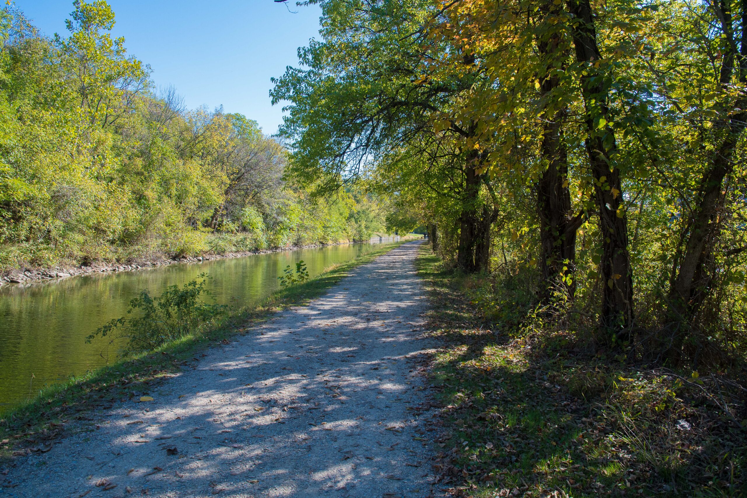
Along the Towpath in Williamsport by Ed Crawford

A Day in Poolesville, Maryland – An Itinerary

By Blog, Explore Your Canal, Planning Your Visit, Things to Do

Parking access: Poolesville is located about five miles from the C&O Canal National Historical Park. To get to the Park from the Old Town Bank Museum located on Fisher Avenue in Poolesville, head west on Fisher Avenue and make a left onto W. Willard Rd. Make a right onto Westerly Road in approximately 1.4 miles. You will then make a left onto Edwards Ferry’s Rd and continue until the end of the road. There is a small parking lot available for day and overnight parking located here. 

River access: Edward’s Ferry boat ramp access is located at the end of Edward’s Ferry Road, past Lockhouse 25. This is a historic Civil War site used by the Union Army for crossing the Potomac River. This area is known for smallmouth bass fishing.

Where to stay: Poolesville is home to Lockhouse 25. A blast from the past, this rustic lockhouse can be reserved through the Canal Quarters program. This historic structure was built in the 1830s and sits at mile marker 30.9 on the towpath. It is available for overnight stays by up to eight guests. 3.7 miles upstream from the towpath, is Turtle Run hiker/biker campsite. It includes a water pump, a portable toilet, and a picnic table & grill.

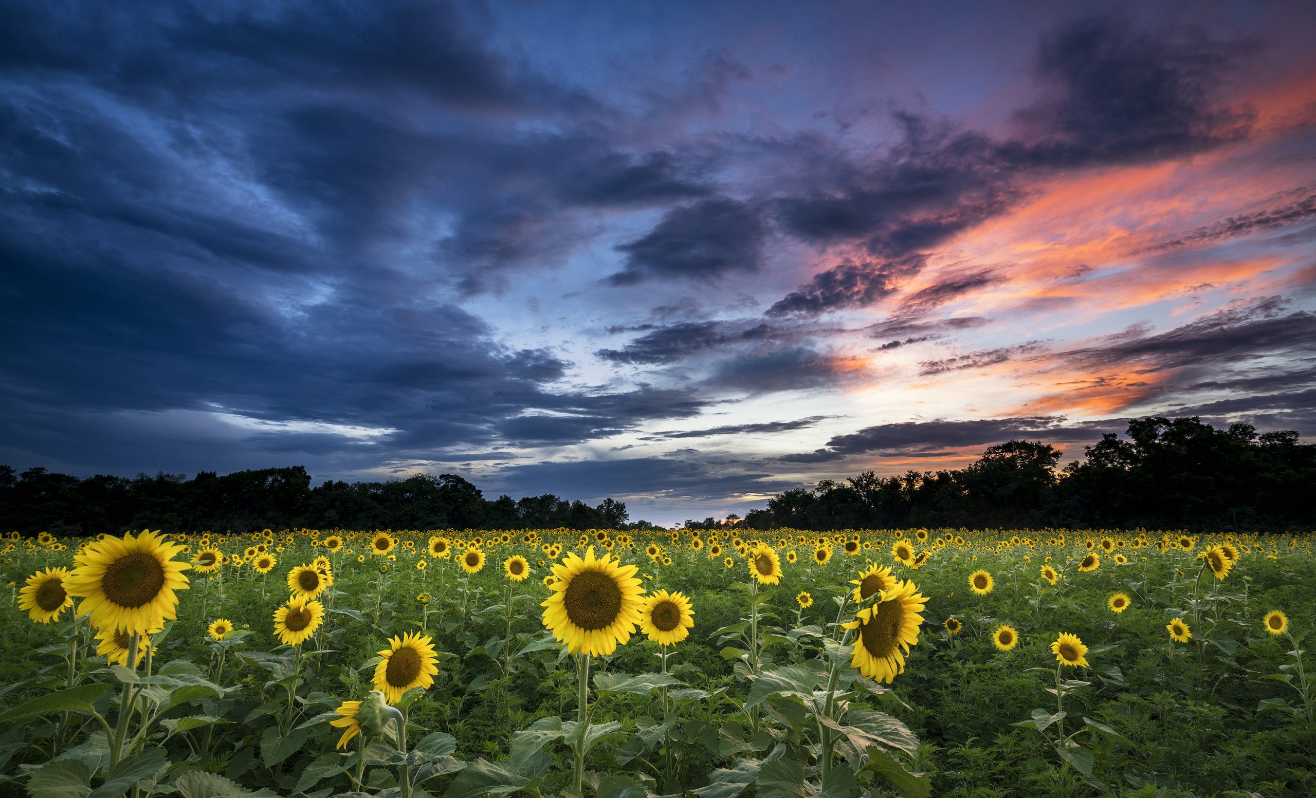
Sunflower Field located at Sycamore Landing Road (mile marker 27), Poolesville, Maryland. by Nicholas Clements

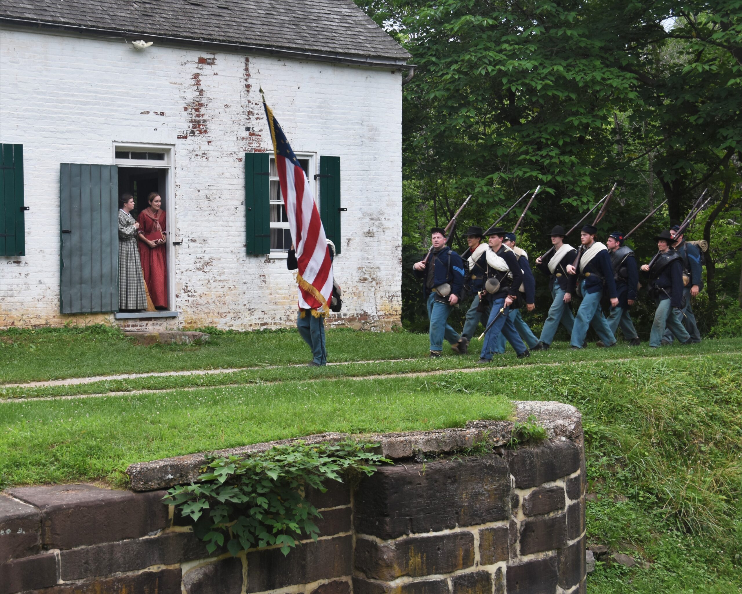
Civil War Reenactment at Lockhouse 25 by Jan Branscome

Don’t miss: The John Poole House

Originally built in 1793 as a log store, the John Poole House is the oldest building in Poolesville. It served as Poolesville’s first Post Office in the early nineteenth century and is now the Historic Medley District office. This historic building is located behind The Old Bank/ Old City Hall of Poolesville.
Where to eat: Poolesville Athletic Club & Cafe 107

Café 107 is located in the Poolesville Athletic Club and offers a wide selection of both hot and cold drinks, such as blended coffee drinks, smoothies, and food such as grilled chicken wraps, pizza, and even tasty breakfast dishes, which are available all day. It doesn’t get much better than that!

Where to chill: Whalen Commons

Whalen Commons, located in the town center, is a place to meet and greet new and old friends alike. Enjoy outdoor concerts, farmer’s markets, and outdoor movie nights in the open grassy area, . You will also find restrooms, a bandshell and a walking trail here.

If you have time: McKee Beshers Wildlife Management Area

McKee-Beshers is known for its deliberately flooded forests during the fall and winter. Biologists create these “greentree reservoirs” to attract colorful wood ducks and other waterfowl that migrate through or spend the winters here. Along the preserve’s many miles of trails, you can also spy more than 200 species of songbirds and other wildlife such as deer, wild turkey, reptiles and amphibians.

Come back for: Sugarloaf Mountain overlook

This registered National Landmark has a breathtaking view and is accessible for bikers and hikers on the towpath. This is about a 10– mile bike ride from or 15mins by car from White’s Ferry. from Poolesville and 17 mins from Whites Ferry. The park is open 8 a.m to sunset. Gates close one hour before sunset.

Events: Violettes Lock and Stroll 5k October 21, 2023 @ 11 a.m.

Join us in Poolesville to walk, run, or stroll among the beautiful fall foliage along the towpath, while also supporting the Park. Following the 5k, we invite our canal community to celebrate the completion of this year’s TowpathGO challenge at Rocklands Farm Winery.

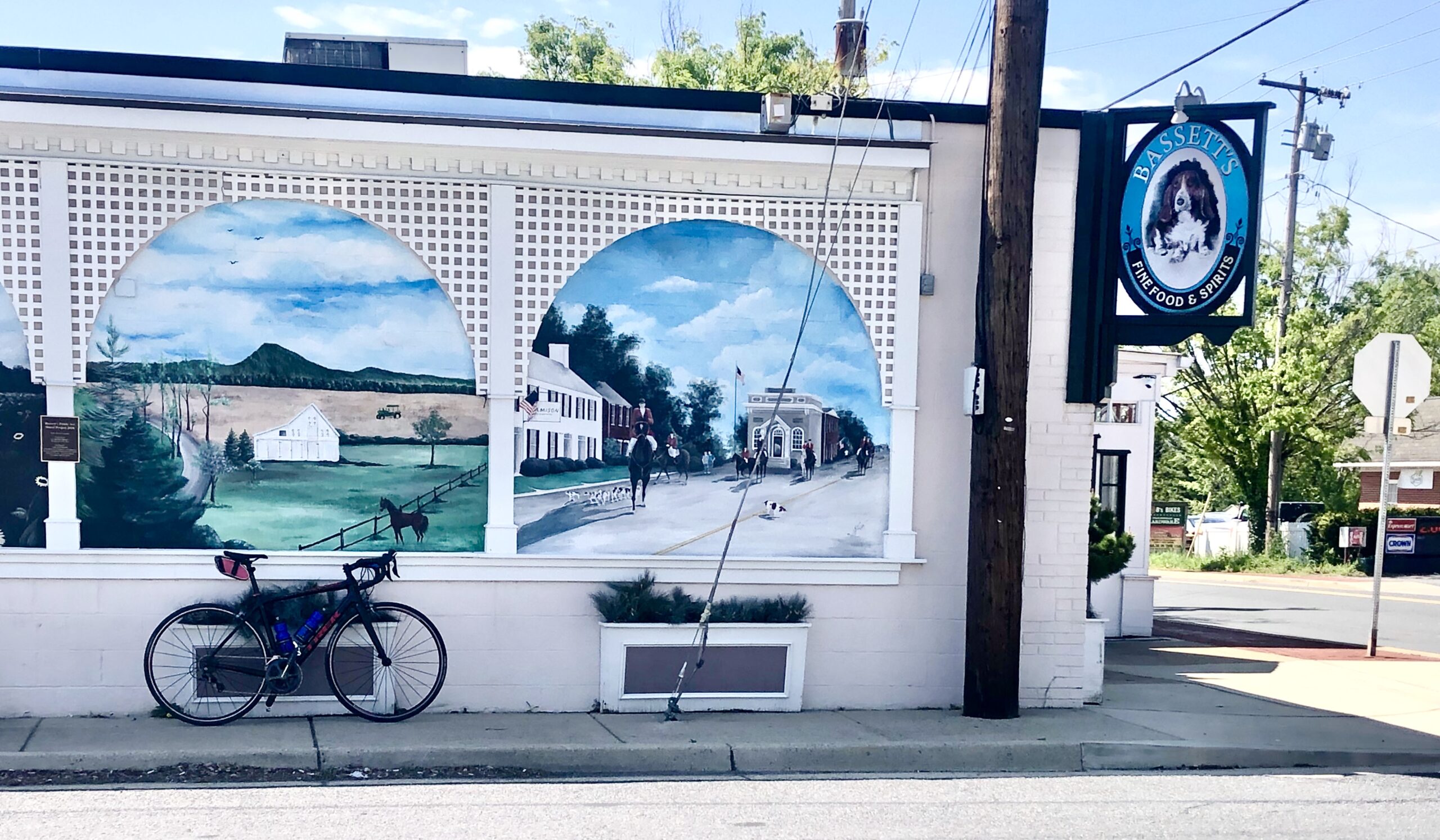
Bassett’s Public Art Mural by Trust Staff

https://www.visitloudoun.org/listing/whites-ferry/56/https://www.poolesvillemd.gov/338/Whites-Ferryhttps://www.canaltrust.org/pyv/whites-ford/http://sugarloafmd.com/https://www.poolesvilleday.com/about-ushttps://www.poolesvillemd.gov/facilities/facility/details/Whalen-Commons-8

A Day In Brunswick, Maryland – An Itinerary

By Blog, Explore Your Canal, Planning Your Visit, Things to Do, Towns and Communities

Park: You can get to the towpath from town by a car when you head west on Potomac Street. Make a right onto S. Maple Ave. Head south past the Brunswick Train Station and over the tracks where a small dirt parking lot resides next to the towpath.    

River access: There are two points of access for boats along the Potomac River. Larger boats can access the river by making a right through the railroad parking lot. Follow this to reach the river access point. The second access point is located at Brunswick Family Campground. Make a left onto the towpath from S. Maple Ave. Follow the towpath for 0.4 miles to arrive at the campground and access point. 

Stay: Visitors can find a cozy room at the Travel Lodge or the Holiday Inn. They offer rooms for leisure, adventures, and business space. 0.6 miles on the towpath is the Brunswick Family Campground. This campsite includes tent sites, dumping stations, full hook-up sites, limited wifi, and other amenities. 
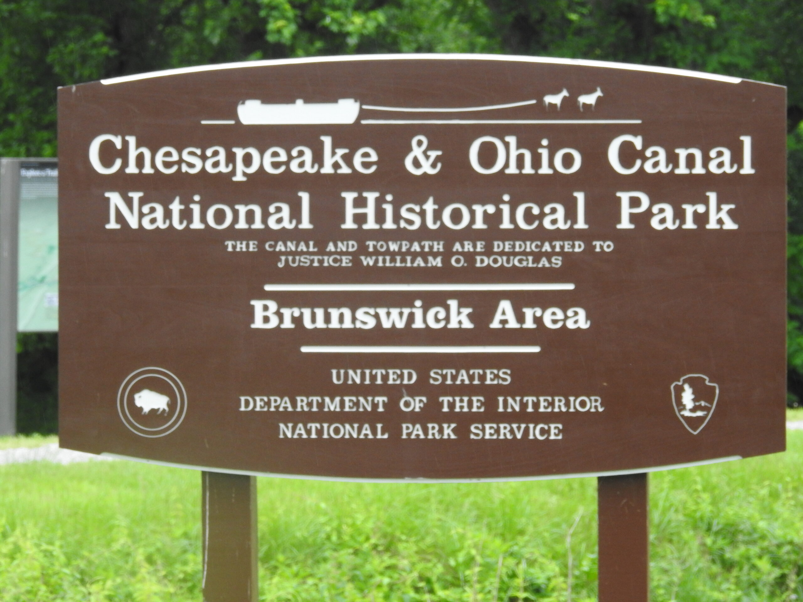
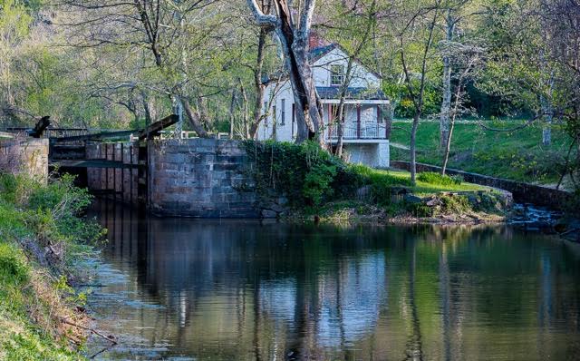
 Brunswick, C&O Canal Park Sign by Paulie Ward

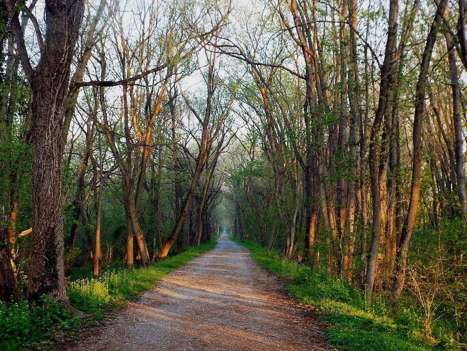
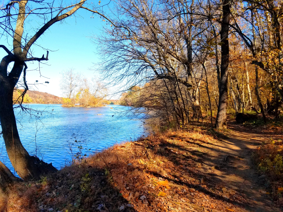
Towpath in Brunswick, MD by Jerry Knight

Don’t Miss: The Visitor Center & Brunswick Heritage Museum 

The Heritage Museum doubles as two museums in one, while also sharing a building with the Brunswick Visitor Center. The second floor tells of how the town was shaped by the railroad, and the third floor depicts a 1700 square HO scale model of the B&O Metropolitan Subdivision. In 1890, the Baltimore &Ohio Railroad came to Brunswick, increasing travel to and from Brunswick. Remains of the railroad yard are still visible to this day and were known as the longest railroad yard owned by a single company, totaling 5 miles of the rail yard. 

Eat: Beans & the Belfry

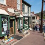
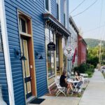
Beans & the Belfry is a cozy, hiker, biker, friends, and family cafe located just .4 miles from the towpath on W. Potomac St. They offer indoor and outdoor seating with complimentary bike racks. Beans & Belfry has what you need to stay refreshed. They serve hot dishes, sweet desserts, refreshing snacks, all-day breakfast, and more. Live entertainment can be found Friday and Saturday from 7-9:30 pm, and live Jazz brunch on Sunday at 11 am-2 pm.
Chill: The City Park Building & Parks 

The City Park Building is located at 655 East Potomac Street, which is open for public access and private rentals. Amenities include a small kitchen, tables chairs, and restrooms. Other recreational spaces include the Corner Park located on Maple Ave and W. Potomac St., three minutes from the towpath, and a Brunswick dog park located .6 miles from the towpath on E. Potomac St. 

If you have time: Visit Remains of Lock 30 or the Rivers Edge Trials

Located at mile marker 55 on the towpath, the red Seneca sandstone and Patapsco granite rubble of the Lockhouse are still visible today. Next to the remains of Lock 30, a bridge carries Route 17 over the Potomac, replacing previous ferries and a wooden bridge that burned down by the Confederacy early in the Civil War. The Rivers Edge Trails are 2.9 miles from the towpath located on 13th Avenue and great for bikers looking for intermediate trails. The path consists of a single rolling track six miles in length with four route options. Natural cuts, berms, and switchbacks are an added plus to increase momentum and intensity. 

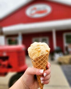
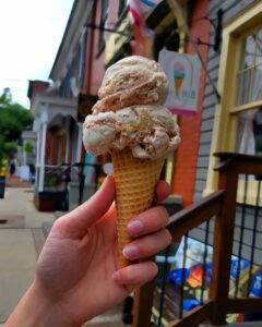
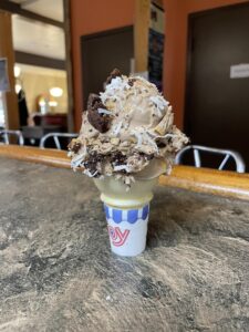
Come back for: Boxcar Burgers & Towpath Creamery 

This two-in-one unique restaurant deserves a stop, especially if you are looking for burgers and ice cream to fill you up and cool you down. They share the same building, only a brisk five-minute walk from the towpath. Boxcar Burgers serves “ simple food, done well made from the best local ingredients,” while the Towpath Creamery “offers healthy, all-natural farm-fresh ice cream from both Cold Run Creamery and South Mountain Creamery.”

Events: Fun Runs, Bike rides & Wine and Chocolate Walks

If running is your thing, sign up for the Potomac Street Mile. It will be taking place from August 1st through the 15th. Be sure to sign up before the close of registration on July 31st, 2020.

If biking is more your style, support Brunswick on August, 2nd 2020, and join Throwback on the Towpath. A physical distanced ride dedicated to celebrating the history of penny farthings, welcoming all riders.  

Further down the calendar, Saturday, September 5th, Brunswick will be hosting wine and luxury chocolates. Local venues gather to offer delicious samples, food selections, while live music cascades through the streets. 

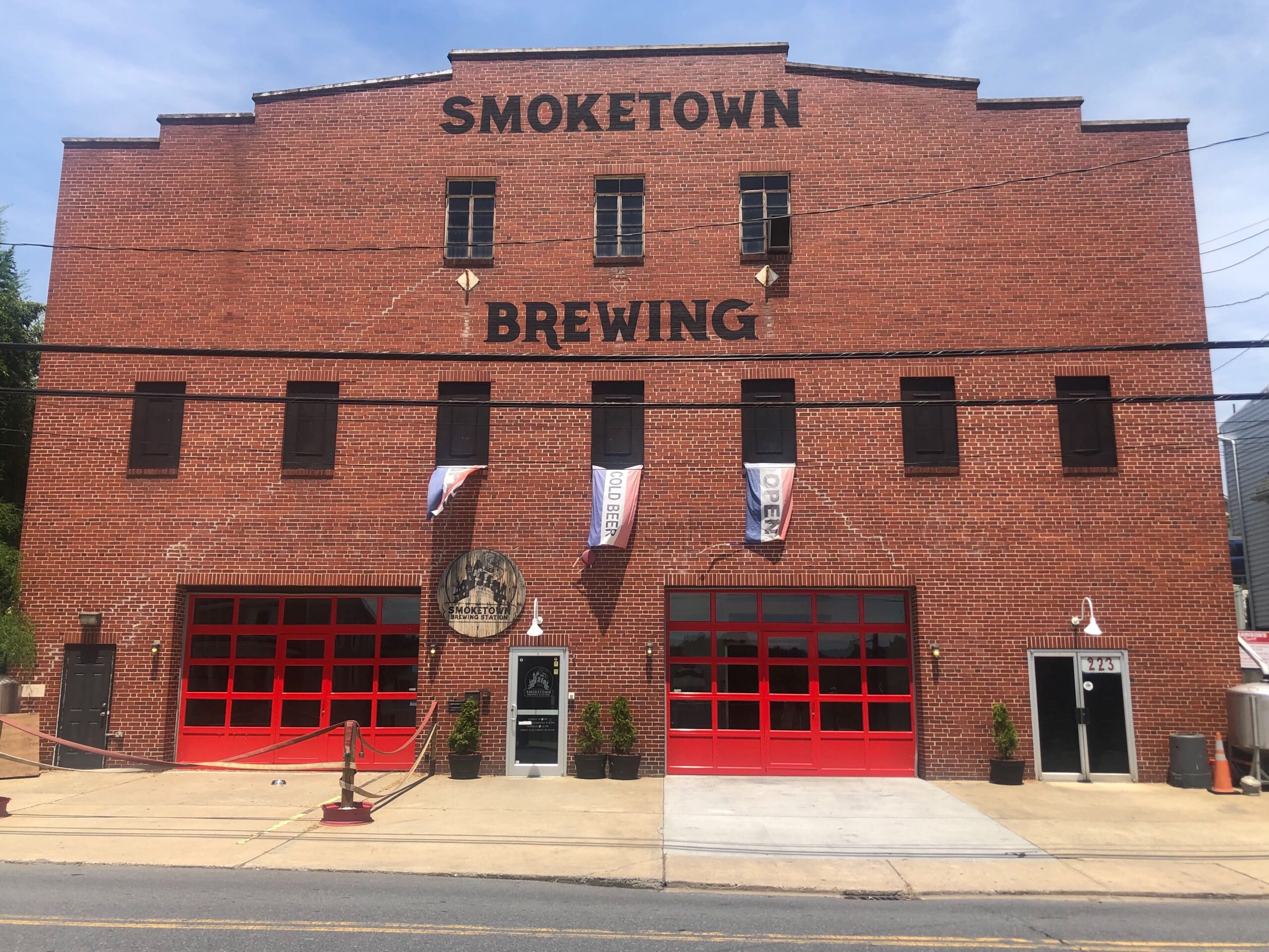
Smoketown Brewing by Esther Herbers

Brunswick

  1. About Boxcar. (2020). Retrieved July 29, 2020, from http://www.boxcarcatering.com/about-boxcar/
  2. City Hall. (2020, July). Parks, Recreation, and Pool. Retrieved July 29, 2020, from https://brunswickmd.gov/?SEC=CF1E2F23-FC1F-4F29-870E-35A7D96F5FB7
  3. Creamery, T. (2020). Towpath Creamery. Retrieved July 29, 2020, from http://www.towpathcreamery.com/
  4. Heritage Museum, B. (2020, July). About. Retrieved July 29, 2020, from http://brunswickmuseum.org/about/
  5. High, M. (2000). The C & O Canal companion. Baltimore, MD: Johns Hopkins University Press.
  6. N. (2020). Brunswick Visitor Center. Retrieved July 29, 2020, from https://www.nps.gov/choh/planyourvisit/brunswickvisitorcenter.htm

Must-See Locales Within 5 Miles of the Canal

By Blog, Things to Do
McKee Bechers Wildlife Management Area

McKee Bechers Wildlife Management Area by Martin Radigan

The C&O Canal National Historical Park showcases a multitude of historical and natural treasures from Georgetown to Cumberland, but if you’re willing to go just five miles off the towpath, it opens another world of things to see and do. Along with the communities in the Canal Towns Partnership, here are some must-see attractions within five miles of the canal.

Read More

5 Ways to Celebrate Earth Day From Home

By Blog, Nature, Things to Do

Happy Earth Day! Find out how you can make a difference this Earth Day by implementing the five tips below!

1. Give Extra Love to Your House Plants
Got plants? Give them some extra attention by watering them and singing to them. Do some transplanting for those plants that have gotten too big for their pot.

Don’t have plants? You can find seeds without leaving your home! Save those cores from consumed fruits and veggies and plant them in small containers. You will be amazed at how quickly the ends of lettuce or an apple or lemon seed will grow.

Read More

C&O Canal Activities to do at Home

By Blog, Content, Things to Do

Great Falls Canal View Credit: Sean Matthews

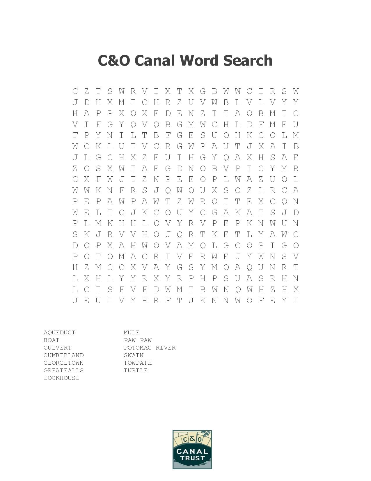
Stuck at home? You can still engage with the C&O Canal! The C&O Canal Trust has developed several fun activities that you and your family can do to keep engaged and learn new things, all from the comfort of your home! Interested in word puzzles? Complete our canal-themed word search and crossword puzzle. The park also has some cool coloring pages on their Facebook page and a Canal Kids Online Portal with information and activities.

Explore the canal from home by browsing the C&O Canal Trust website, including our Canal Discoveries page which has information about several of the canal’s hidden gems.

Word Search

Download PDF


Crossword Puzzle

Test your C&O Canal knowledge with our crossword puzzle. You can complete it below, complete it online, or download and print a PDF.

If you get stumped visit this page to see the solution.


Written by Callie Fishburn and Esther Herbers

Georgetown

Places for History Buffs Not to Miss

By Blog, Explore Your Canal, History, Landmarks, Planning Your Visit, Things to Do, Towns and Communities
Georgetown from the Canal

Georgetown from the Canal by Tim Walters

Most people think of the C&O Canal as a place for outdoor recreation, but the park is designated as a national historical park because of its rich history. The canal’s history is multi-faceted—from its use as a transportation route with over 1,000 historic structures to its strategic location along the Potomac during the American Civil War and beyond. Today it’s not only a great place to enjoy the outdoors, but it’s a treasure trove for history enthusiasts. You can explore by region: East | Central | West

You can also copy this itinerary into our C&O Canal Itinerary Builder here.

East: DC to Brunswick

Mile marker 0.0                       Georgetown
Georgetown is situated on the Fall Line and was the farthest point upstream that oceangoing boats could navigate the Potomac River. Established in 1751 as a tobacco port town, Georgetown is where the C&O Canal begins. The creation of the C&O Canal provided an economic boost to the area. Transportation of goods such as tobacco, sugar, and molasses from the West Indies, as well as salt from Europe, passed through Georgetown. These shipping industries were later replaced by coal and flour industries, until they declined in the late 19th century. A flood in 1890, coupled with the expansion of the railroads, brought destitution to the canal, and Georgetown’s waterfront became more industrialized. The shipping trade vanished from Georgetown between the Civil War and World War I. In 1967 the Georgetown Historic District was listed on the National Register of Historic Places.

Mile marker 0.4                       Douglas Bust
Supreme Court Justice William O. Douglas played an integral part in saving the canal from being turned into a parkway during the 1950s. His love for the canal led him to challenge editors from The Washington Post to hike the entire 184.5 miles of towpath with him to see why the space should be left untouched. His efforts provided a focal point for media attention and intensified the efforts of conservation groups who sought to preserve the canal. Thanks to his efforts, the National Park Service abandoned the parkway idea.

Mile marker 7.6                       Glen Echo Park and Clara Barton House

The bluffs above Lock 7 were the site of a Chautauqua, an adult education and social movement in the United States, highly popular in the late 19th and early 20th centuries. This one had only one successful season in 1891. Glen Echo Amusement Park then occupied the site, becoming the area’s premier amusement park for many years, until 1968. The National Park Service acquired the site, removed some of the amusement structures, and opened the park to the public in 1970. Since then the park has offered cultural and educational programming, and visitors can ride the historic Dentzel Carousel.

Just upstream from Glen Echo is the Clara Barton House, where Clara Barton spent the last 15 years of her life. Barton, known as the “angel of the battlefield,” was a volunteer nurse and relief worker during the Civil War. She later founded the American chapter of the Red Cross. Barton lived in the house, which served as a working headquarters for her relief operations, until her death in 1912. Today the house is managed by the National Park Service and open to the public for tours.

Mile marker 22.8                     Seneca Stone Cutting Mill
Seneca Stone Cutting Mill operated from 1837 to the early 1900s, milling stone from Seneca Quarry for many structures on the canal and public buildings in Washington, D.C., including the iconic Smithsonian Castle on the National Mall. The mill’s water wheel, and later a turbine, were powered by water from the canal. Seneca Stone Cutting Mill also cut granite and stone shipped from neighboring quarries. Granite and marble used in the U.S. Capitol and the Washington Monument were cut here.

Mile marker 35.5                     Whites Ferry

White’s Ferry is a one-of-a-kind on the Potomac River. Until it closed in 2020, it was the last operating ferry on the river, transporting vehicles, cyclists and pedestrians from Maryland across to the Leesburg area of Virginia. The ferry dates back to the early 1800s and gets its name from former Confederate Lieutenant Colonel Elijah White, who owned a nearby farm and purchased the ferry after the Civil War.

Mile marker 44.6                     Nolands Ferry

Nolands Ferry was an important crossing on the Potomac River even before the United States was a nation. Native Americans crossed here traveling from the Susquehanna River southward through Maryland to the Carolinas. Licensed ferry operations date back to 1735, with the Noland family operating the ferry here as early as 1758. Thomas Jefferson crossed the Potomac here on May 10, 1776, en route to Philadelphia to sign the Declaration of Independence. It was also the site of several Revolutionary War crossings, used by the colonists and the British. The ferry was surrounded by a thriving community but that faded with the construction of the Point of Rocks Bridge across the Potomac.

Mile marker 48.2                     Point of Rocks Railroad Station
The Point of Rocks Railroad Station, considered one of the most picturesque railroad depots in the nation, was built when the B&O’s connector line to Washington was constructed in the late 1860s. Its location, where the two lines meet, is truly unique. The station is unusually sophisticated for its rural setting, done in the Victorian Gothic Revival style. The station is a testament to the significance of the railroad in post-Civil War America. It was placed on the National Register of Historic Places in 1973 and is still used by CSX, the successor to the B&O Railroad, as an office.

Mile marker 50.0                     Point of Rocks Trail Tunnel

The rivalry between the C&O Canal and the B&O Railroad came to a head in the mid 1800s when continuation of both the Canal and the railroad tracks required passage through the narrow Point of Rocks section of the Potomac River basin. The B&O bought up much of the land in this stretch, but the C&O countered with a claim that it had the rights to the route based on a previous charter. It was eventually ruled the C&O Canal must share the right of way with the railroad as far as Harpers Ferry. To provide a little more breathing room through this very tight squeeze, the railroad built tunnels through two spurs of the Catoctin ridge following the Civil War. Once the Canal was out of business, the B&O ran tracks around the outside of the tunnels as well, and the Canal unfortunately became a dumping ground for the railroad.

Central: Brunswick to Hancock

Mile marker 60.8                     Harpers Ferry

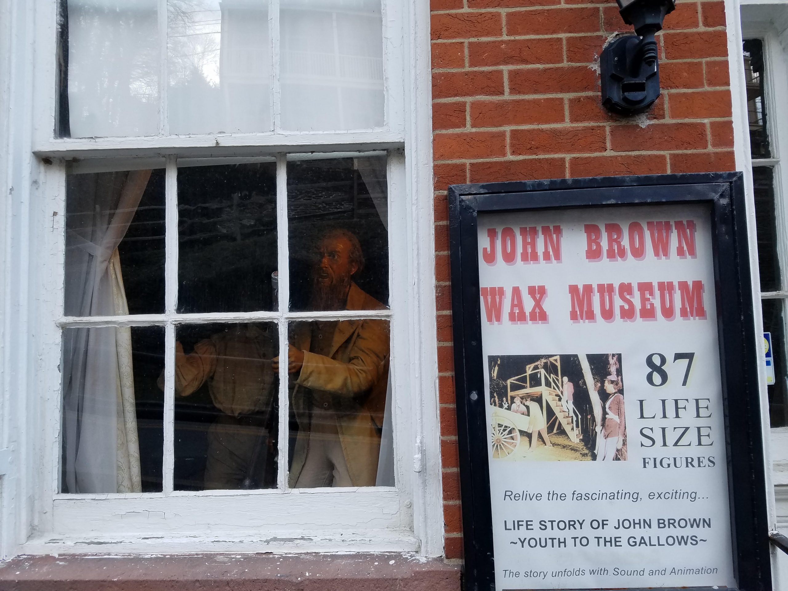
On the night of October 16, 1859, abolitionist John Brown marched his “army of liberation” down the C&O Canal towpath and crossed the B&O Railroad Bridge into Harpers Ferry to raid the federal armory. The historic town of Harpers Ferry, much of which is part of Harpers Ferry National Historical Park, is a must-see for history buffs. Several historical eras are interpreted for visitors, from the Industrial Revolution to the Lewis and Clark Expedition and the Civil War to the Civil Rights Movement.

Mile marker 69.5                     Antietam Village and Antietam Ironworks

The remnants of the once-thriving village of Antietam and the old limekilns from Antietam Ironworks are just beyond the stone bridge over Antietam Creek. Located at the confluence of Antietam Creek and the Potomac River, this was the site of extensive iron-working facilities for most of the century following 1765. Pig iron was the major product. During the Revolutionary War, craftsmen forged cannons, cast cannon balls, and turned out muskets at Antietam Ironworks. In 1786, metal parts for James Rumsey’s experimental steamboat were forged here. Powered by water from the Antietam Creek, the village had a rolling mill, slitting mill, nail factories, large grist mill, limestone crushing mill, spinning mills, hemp mills, flour mills, sawmill, shingle mill, cooperage factory, woolen mill, and stove works at various times. During the Maryland Campaign of 1862, General Ambrose Burnside’s Ninth Army Corps passed through the village on its way to Sharpsburg. The ironworks suffered some damage during the Civil War but was rebuilt and operated until 1882. Antietam Village and Antietam Ironworks are on the National Register of Historic Places.

Mile marker 71.4                     Packhorse Ford

Also known as Blackford’s Ford, Boteler’s Ford, and Shepherdstown Ford, this is the site where Stonewall Jackson’s Command crossed en route from Harpers Ferry to Sharpsburg to join Confederate forces on September 17, 1862, during the Battle of Antietam. This is also where the entire Army of Northern withdrew into Virginia on September 18 and 19.

Mile marker 72.6                     James Rumsey Monument and State Park

Just across the Potomac River on top of the cliff is the James Rumsey Monument and State Park. James Rumsey was a pioneer of steam navigation and was the first superintendent of the Patowmack Company, a position that George Washington recommended him for. On December 3, 1787, Rumsey’s steamboat, which used a type of hydraulic jet-propulsion, made its debut in this calm section of the Potomac River. Hundreds of spectators witnessed the craft make its way upstream from the Shepherdstown ferry landing at a rate of four miles per hour. A 75-foot monument sits on the hillside to commemorate Rumsey’s first-in-steam navigation.

Mile marker 72.8                     Ferry Hill Plantation

Ferry Hill sits on the high bluff overlooking the Potomac River and the C&O Canal, opposite Shepherdstown. The property has been a farm, a restaurant, an encampment for Union troops, and, at one time, the headquarters for the C&O Canal National Historical Park. Ferry Hill was built by Col. John Blackford in 1813 and once encompassed 700 acres. Blackford had one of the largest slaveholdings in the area, owning 18 slaves and hiring part-time laborers as well. In 1850 the Douglas family moved into the mansion with their four children, which included Henry Kyd Douglas. Henry enlisted in the Confederate army in 1861 and served as Stonewall Jackson’s youngest staff officer. Maryland was a border state but because Henry enlisted as a Confederate, the Federals kept the Douglases under house arrest for much of the Civil War. Ferry Hill was used by both armies during the war and wounded Confederates were cared for here following the September 17, 1862, Battle of Antietam. Henry’s father Robert was suspected of spying for the Confederates. The Federals arrested him and sent him to Fort McHenry, in Baltimore, for several months.

Antietam National Battlefield

Located approximately 5 miles from the C&O Canal, Antietam National Battlefield is the site of the bloodiest single-day battle in American history. After three phases of fighting, more than 23,000 soldiers were dead, missing, or wounded. The September 17, 1862, battle ended in a draw, but was considered a strategic victory for the North, preventing England and France from intervening. Following the battle, President Abraham Lincoln issued the preliminary Emancipation Proclamation, making slavery an official issue of the war.

Mile marker 75.7                     Killiansburg Cave
After the Battle of South Mountain, as the Confederate army retreated and settled in Sharpsburg, the town residents felt the tension mounting between the Confederates and the Federals. Many families left their homes to go stay with nearby relatives while others found refuge in caves, including the Killiansburg Cave, along the Potomac River. Out of the line of fire, the caves provided a safe haven for residents to gather until the battle ceased.

Mile marker 94.44                   Falling Waters
Following the Confederate defeat at the Battle of Gettysburg, General Robert E. Lee and his troops withdrew into Maryland. Rain and high water levels made a retreat back into Virginia difficult so the army worked on making pontoon boats. Water levels subsided enough for the army to cross over fords at Falling Waters and also Williamsport, under darkness.

Mile marker 99.2-99.8             Williamsport

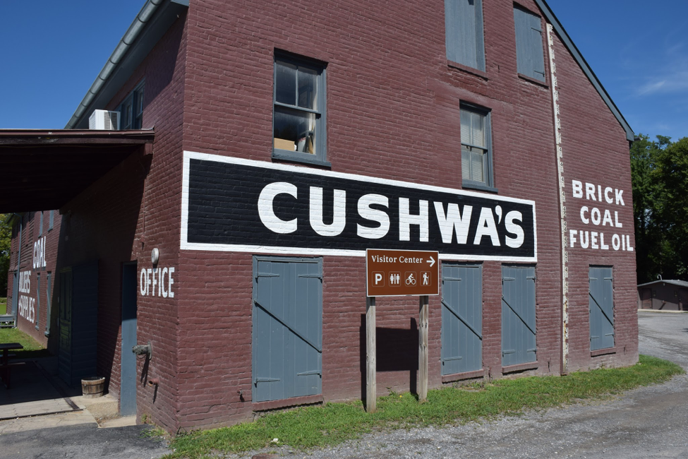
Williamsport is the only place on the canal where examples of major canal structures can be viewed within a half-mile stretch of the towpath. Visitors can see a refurbished lockhouse and its adjacent lift lock, the only Bollman Iron Truss bridge over the canal, a railroad lift bridge, a canal turning basin and a re-watered aqueduct. The railroad lift bridge is a rare surviving example of a short-span railroad vertical lift bridge. It was built in 1923 by the Potomac Public Service Company, where the Western Maryland Railway spur crosses the canal. Cushwa Basin is the only restored historical basin on the C&O Canal. The basin was excavated and rebuilt in 1994. The Cushwa warehouse was built between 1790 and 1810, predating the canal. It is one of the oldest buildings along the canal. Adjacent to the basin, on its downstream side, was the Cushwa wharf. This, along with the Steffey and Findlay wharf near Lock 44, made Williamsport the most important coal shipment point on the canal above the Federal District. Replica launch boat rides over the re-watered Conococheague Aqueduct are offered seasonally.

Mile marker 110.2                   McCoys Ferry

Union and Confederate troops clashed several times at McCoys Ferry throughout the Civil War, On May 23, 1861, Confederate forces tried to capture the ferry boat but were halted by fire from the Clear Spring Guards. They let the boat drift downstream where Union soldiers later retrieved it. On October 10, 1862, less than one month after the Battle of Antietam, Confederate General J.E.B. Stuart and his cavalry crossed the Potomac River at McCoys Ferry on his second ride around McClellan’s army. Part of the Confederate cavalry in the McCausland-Johnson raid crossed the Potomac here on July 24, 1864. The cavalry was on its way to Chambersburg, Pennsylvania, where it burned the town after residents refused to pay a ransom.Mile Marker 112.4

Fort Frederick

Fort Frederick State Park borders the Potomac River and surrounding parts of the C&O Canal. Within the park is Fort Frederick, built from 1756-57 at the request of Governor Horatio Sharpe to protect the frontier. It is the only remaining stone fort from the French and Indian War. It was also used during the Revolutionary War and the Civil War, when Union troops were often stationed at the fort to guard the canal. Today the fort and surrounding area is a Maryland State Park. Visitors can enjoy tours of the fort, interpretive programs, and living history programming throughout much of the year.


West: Hancock to Cumberland

Mile marker 155                      Paw Paw Tunnel

Made up of six million bricks and at three-fifths of a mile long, the Paw Paw Tunnel is considered the most notable landmark and greatest engineering marvel on the C&O Canal. It took 14 years and cost more than $600,000 to complete, coming in way over budget. The tunnel was built to eliminate six miles of canal and cut across a neck of land formed by the Paw Paw bends. Immigrant laborers worked on the tunnel in difficult conditions. A great deal of labor unrest including riots, strikes, violence, and even arrests, disrupted progress on the tunnel.

Mile marker 166.7                   Oldtown

Oldtown’s history dates back thousands of years to early Native American settlements in the area. Five of their trails passed through Oldtown; in fact, the town’s original name was Shawnee Oldtown. In the early 1740s, frontiersman Thomas Cresap established a fort near the Potomac River. His son, Michael, was the first white male born in Allegany County. Today, one of the oldest structures in Allegany County is the 1764 Michael Cresap House. George Washington crossed the Potomac here in 1748 when he was in his teens, working on a survey mission. The low water crossing of the Potomac River at Oldtown made it a popular spot for troops to cross during the French and Indian War and again later during the Civil War. Several Civil War incidents at Oldtown affected the canal and the B&O Railroad. In August of 1864, after burning Chambersburg and occupying Hancock, Confederate troops threatened Cumberland. Union forces amassed an unsuccessful attempt to trap Brigadier John McCausland’s Confederate raiders behind Union lines in the Battle of Oldtown on August 2.

Mile marker 182.6                   Wiley’s Ford

On the night of February 21-22, 1865, about 65 men known as McNeil’s Rangers crossed the Potomac River near Brady’s Mills and entered Cumberland, while approximately 8,000 Union troops were encamped there. The rangers captured Generals Kelly and Crook while they were sleeping and took them, along with their horses, down the canal to Wiley’s Ford where they crossed into Virginia. The generals were taken to Richmond where they were held in captivity.

Mile marker 184.6                   Cumberland

Cumberland, established as a town in 1787, was once the second largest city in Maryland. During the Industrial Revolution the mountains of the Cumberland region provided coal, iron ore and timber, which turned the city into a key manufacturing center. Other industries took off as well, like glass, breweries, fabrics, and tinplates. Prior to the arrival of the railroad and the canal, the National Road brought travelers to Cumberland. The railroad made it to Cumberland in 1842, followed by the canal in 1850. At that time, use of the National Road began to decline. The last stagecoach line stopped operating in 1853. During much of the Civil War, Union General Benjamin Kelley’s troops, headquartered in Cumberland, were responsible for protecting the B&O Railroad and the canal. Following World War II, industry in Cumberland began to decline, as did the population. Today, Cumberland is a member of the Canal Towns Partnership and features a variety of shopping and history for tourists to discover.

Written by: Charissa Hipp

Share This Page

Remote Places Along the C&O Canal to Explore While Socially Distancing

By Blog, Content, Explore Your Canal, Landmarks, Planning Your Visit, Things to Do

Towpath near Shepherdstown by Alma Rebekah Hanna

During this stressful time of social distancing and isolation, it is critically important you take care of your physical and mental health. Fortunately, the C&O Canal National Historical Park can offer you fresh air, relaxation, and a break from the news coverage. The western section of the C&O Canal offers many remote points of interest that are less frequently visited than popular eastern hubs such as Great Falls. Consider visiting some of these western gems along the canal for a stroll or a bike ride along the towpath — but make sure you are following all social distancing guidelines. If you have kids, take our C&O Canal Scavenger Hunt with you!

Read More

Exploring New Routes – On and Off the Towpath

By Blog, Explore Your Canal, Planning Your Visit, Things to Do
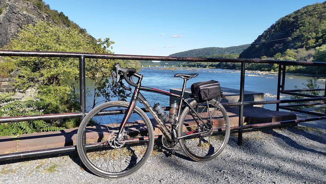
One of my favorite things about the resurfaced towpath is how easy it is to go from biking on the towpath to biking on the road. Before the resurfacing, I would never bring a road bike on the towpath, and even a gravel bike would be uncomfortable. So I would have to choose between a road ride and a towpath ride. Now I don’t have to choose. The resurfaced towpath opens up a whole new set of routes that combine the quiet nature of the towpath with nearby state parks, battlefields, and towns. Learn more about towpath resurfacing here.

Read More

Holiday Shopping in Hancock and Cumberland (2/3)

By Planning Your Visit, Things to Do, Towns and Communities
Get your holiday shopping done early, and you’ll thank yourself for it later. If you are looking for secret Santa gifts, stocking stuffers, gifts for family member of all ages, or holiday decorations, the Canal Towns have you covered. Grab a hot drink and snack to fuel your shopping spree in the fresh Western Maryland air while supporting local businesses. This is a three-part series, find part 1 here, and part 3 here.

Read More

Holiday Shopping in Shepherdstown, Williamsport, and Sharpsburg (1/3)

By Planning Your Visit, Things to Do, Towns and Communities
Get your holiday shopping done early, and you’ll thank yourself for it later. If you are looking for secret Santa gifts, stocking stuffers, gifts for family member of all ages, or holiday decorations, the Canal Towns have you covered. Grab a hot drink and snack to fuel your shopping spree in the fresh Western Maryland and West Virginia air while supporting local businesses. Read More

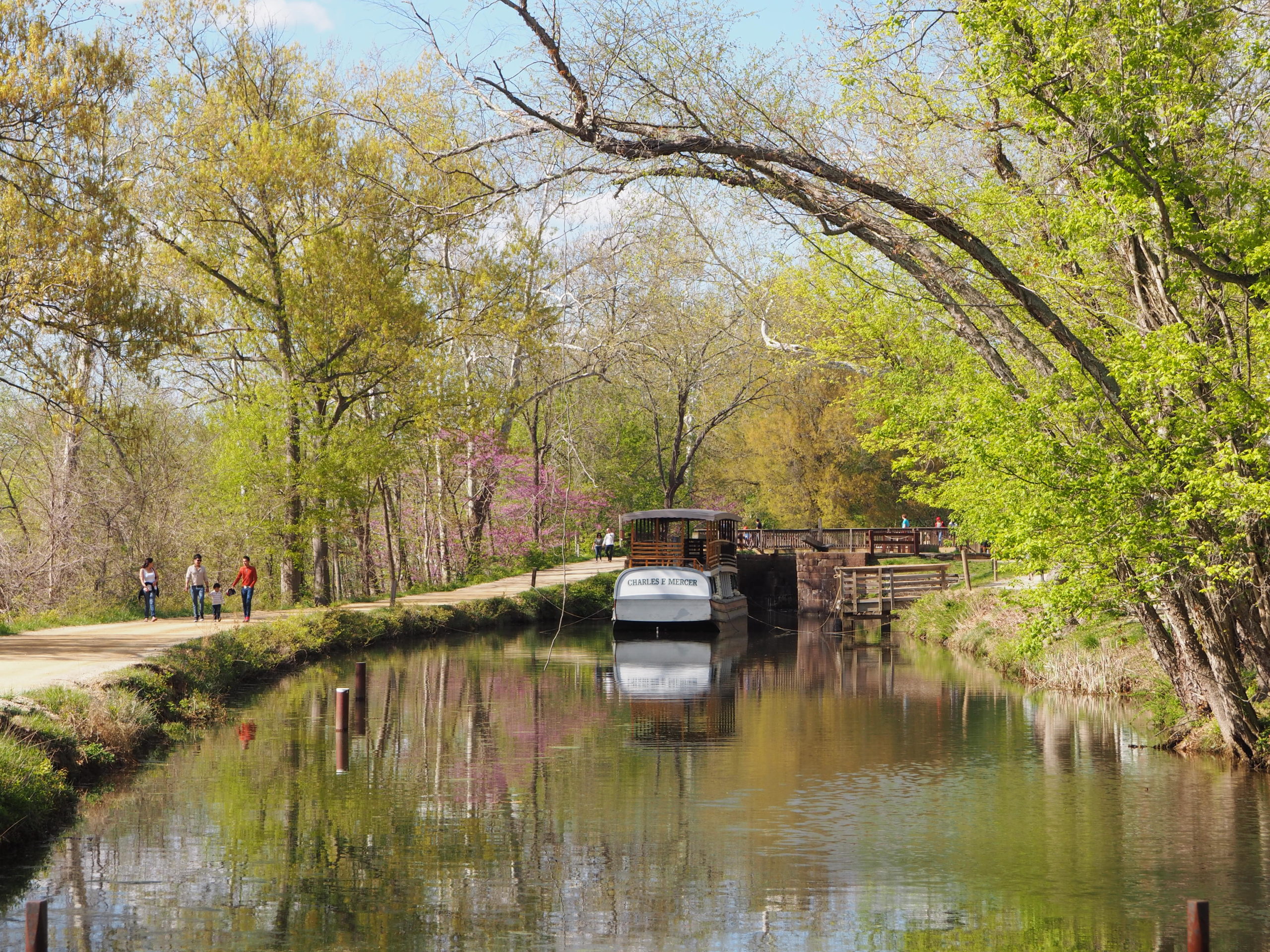
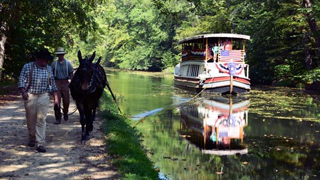
Mercer Canal Boat at Great Falls

Experience History: Mule-Pulled Boat Rides on the Charles F. Mercer

By History, Things to Do
Charles F. Mercer Canal Boat by John Gensor

Charles F. Mercer Canal Boat by John Gensor

The 1870s are alive and well in the C&O Canal National Historical Park. Experience a history lesson, a unique boat ride, and the famous C&O Canal mules when you take a trip on the Charles F. Mercer canal boat at the historic Great Falls Tavern.  It’s a great way to see how folks lived and worked along the canal during its heyday. 

The Charles F. Mercer is a replica packet Canal boat, named after Charles Fenton Mercer who was the first president of the C&O Canal Company from 1828-1833. Packet boats like the Mercer operated regularly and carried visitors back and forth between Georgetown and the Great Falls area. Your ride on the Mercer will begin at the Tavern and take you upstream through a historic operating lock as your boat is raised eight feet to meet the height of the canal waters. The boat, fully loaded with passengers, will then be pulled upstream by the famous C&O Canal mules while park rangers in period clothing describe what life was like for people who lived and worked on the canal during the 1800s. 

Take a look at Visit Montgomery’s video to see what it’s like to experience a ride on the Mercer : https://www.youtube.com/watch?v=QDG_7nsUpnE. 

Tickets can be purchased at the Great Falls Tavern Visitor Center in the park at 11710 MacArthur Blvd., Potomac, MD.  The Charles F. Mercer boat capacity is 65 people and boat programs last approximately one hour. Rides are offered weekends, including some Fridays, during the spring and summer. Check if the boat is operating before setting out at https://www.nps.gov/choh/planyourvisit/great-falls-canal-boat-rides.htm.

Share This Page

10 Architectural Wonders of the C&O Canal

By History, Landmarks, Things to Do

The C&O Canal National Historical Park boasts some of the most breathtaking scenery in the area. Not only is our Park magnificent to look at, but it is home to many natural and man-made wonders. The architects and builders who built the canal had to overcome rocky land, mountains, and changes in elevation, and through these difficulties, many architectural wonders were born.  Below, we take a closer look at 10 of them in honor of the C&O Canal Trust’s 10th anniversary. Read More

10 Discoveries Along the C&O Canal

By Planning Your Visit, Things to Do

The C&O Canal National Historical Park holds hundreds of secrets along its 184.5-mile length and is a wonderful place to explore both the natural and man-made worlds. In the Canal Discoveries section of the C&O Canal Trust’s website, Park Rangers describe 48 of these gems.

To celebrate our 10th anniversary, we’ve picked out 10 gems that you might not know about. The next time you are out in the Park, be sure to visit these sites! Read More

Hidden Hiking Gems of Great Falls

By Blog, Planning Your Visit, Things to Do

Everyone loves Billy Goat Trail Section A. Come down to Great Falls any weekend during the summer months and you’ll see a line of people stretching along the whole trail. With tricky rock scrambles, unique wildlife, and amazing river views, it is not difficult to see why this trail is so beloved and well-known. But if you’ve already experienced the magic of “Billy Goat A” or you just want a little more solitude with your wilderness, check out these great, lesser-known trails in the Great Falls area.

Read More

9 Great Things to Do When You Visit Cushwa Basin in Williamsport

By Landmarks, Planning Your Visit, Things to Do

The Cushwa Basin, located in Williamsport, MD, is situated at the confluence of the Conococheague Creek and the Potomac River. Because this area is such a popular entry point to the C&O Canal towpath, there is a National Park Service Visitors Center located here, in the historic Cushwa Warehouse beside the basin. The warehouse is in the process of being restored to interpret the 1920’s era on the Canal, and the neighboring Conococheague Aqueduct is also being rebuilt. This historic area was once the home of brick manufacturing and shipment of coal along the Canal — canal boats would use the turning basin to load coal and bricks  on their trips between Cumberland and Georgetown.

All Canal Lovers should visit the Cushwa Basin, check of the Visitors Center, hike the towpath, and explore Williamsport. Check out this list of 9 things you can do next time you visit!
Read More

Top Hiking Trails along the C&O Canal

By Planning Your Visit, Things to Do
OLYMPUS DIGITAL CAMERA

Photo Sean Matthews

There are a variety of hiking trails in or near the Park. Probably the most well-known is the Billy Goat Trail, comprised of three sections (A,B, and C), with three different levels of difficulty.  At 1.7 miles in length, and with an estimated completion time of 2-3 hours, Section A is the most strenuous for the serious hiker. Section B offers more of a mid-level hiking challenge and is great for birdwatching in the spring, while Section C offers an easy stroll and plenty of shade for the warm summer months as well as beautiful leaf color in the fall.

Near Harpers Ferry, the canal joins the Appalachian Trail and affords several unique hiking experiences with plenty of history thrown in. Weverton Cliffs is a popular trail with steep terrain, switchbacks, and a pretty view of the Potomac River.  Maryland Heights, site of the first Civil War battle in Maryland between Confederate and Union forces, provides a wonderful view of the town. Hike up to Jefferson Rock and you’ll see the view that inspired Thomas Jefferson to say “…this scene is worth a voyage across the Atlantic…”

View from Maryland Heights - Wikimedia CommonsJust a hop, skip, and a jump from the towpath, near milepost 112, lies Fort Frederick – a historic stone frontier fort used during the French and Indian War as well as the Revolutionary and Civil Wars.  Continue heading west to the Town Creek area of the Park and you can access Green Ridge State Forest, the Paw Paw Tunnel, and Town Creek Aqueduct for a variety of hiking options.

View from Maryland Heights


Please check Park updates before planning your visit to ensure that trails are open. Changes in weather can affect which trails are open. News from the Park can be found here.