Skip to content
About
About the C&O Canal Trust
About the Park
Our Partnership with the National Park Service
Our Accountability
Our Staff
Board of Directors
Our Work
Philanthropic Support
Volunteer Programs
Community Engagement
News
Press
Visit & Stay
Plan & Explore
Stay at a Lockhouse
Canal Towns Partnership
Current Park Conditions
Events
Events Calendar
Canal Community Days
Park After Dark
Support
Support the C&O Canal Trust
Our Funding Priorities
Sponsorship Opportunities
Volunteer
Shop
Donate
Category: Planning Your Visit
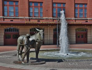
A Day in Cumberland, Maryland – An Itinerary
A Day in Paw Paw, West Virginia – An Itinerary
A Day in Hancock, Maryland – An Itinerary
A Day in Williamsport, Maryland – An Itinerary
A Day in Sharpsburg, Maryland – An Itinerary
A Day in Shepherdstown, West Virginia – An Itinerary
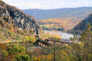
A Day in Harpers Ferry & Bolivar, West Virginia – An Itinerary
A Day in Brunswick, Maryland – An Itinerary
A Day in Point of Rocks, Maryland – An Itinerary
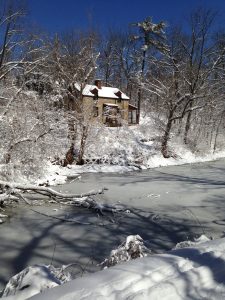
Lockhouse 8 Set to Join the Canal Quarters Interpretive Program
Celebrate National Camping Month!
Recreate Responsibly with Your Dog in the C&O Canal National Historical Park
Explore the C&O Canal’s TRACK Trails
A Day in Williamsport, Maryland – An Itinerary
A Day in Poolesville, Maryland – An Itinerary
A Day In Brunswick, Maryland – An Itinerary
Spend the Night in a Historic Lockhouse: The Canal Quarters Program
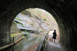
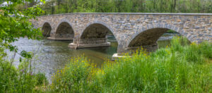
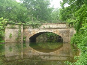
C&O Canal Aqueducts
Places for History Buffs Not to Miss
Remote Places Along the C&O Canal to Explore While Socially Distancing
Exploring New Routes – On and Off the Towpath
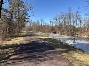
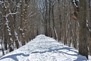
5 Things to Do on the C&O Canal in the Winter
Plan a Staycation with Canal Quarters this Winter
Holiday Shopping in Hancock and Cumberland (2/3)
Holiday Shopping in Shepherdstown, Williamsport, and Sharpsburg (1/3)
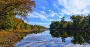
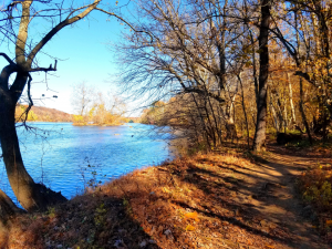
How to Spend Autumn on the C&O Canal
5 Tips for Outdoorspeople That Have Seasonal Allergies
Picturesque Places on the C&O Canal
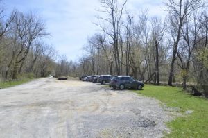
Where to Park for the C&O Canal When Great Falls is Full
Museums Along the C&O Canal
Trails for the Winter Hiker at the C&O Canal
Know Before You Go: Tips for Visiting the C&O Canal
10 Discoveries Along the C&O Canal
Hidden Hiking Gems of Great Falls
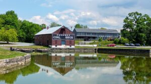
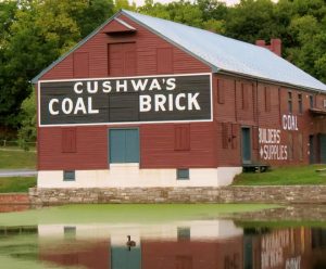
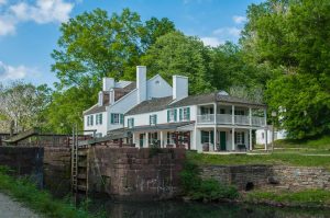
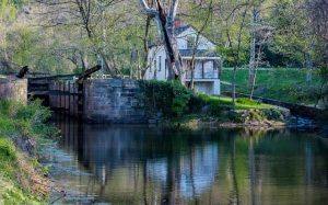
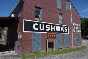
9 Great Things to Do When You Visit Cushwa Basin in Williamsport
Best Places to Camp Along the Towpath
Top Hiking Trails along the C&O Canal
Let's Explore!
Search
Search