Coal Story
By Ranger Rita
Often as I am opening the Cumberland Visitor Center, a quote on the wall within the exhibit area by Hungarian author Mor Jokai catches my attention - "coal moves the world."
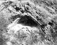
When I think about how much coal has been a part of the history of Western Maryland and the C&O Canal, it makes sense. George Washington, on an early visit to the area, remarked about the "stored mineral wealth" beneath the surface. Allegany County was home to the "best dressed miners" that worked in the deep mines along Georges Creek. These miners collected their nickels, quarters and dollars to help build the Frostburg Normal School for their children to attend. Today the school is known as Frostburg State University and is my alma mater. Part of the Frostburg campus is actually built over top abandoned mine shafts.
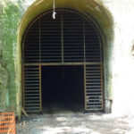
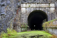
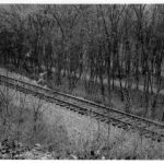
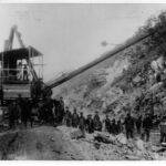
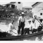
Countless loads of coal left the mines by short line railroad, came to Cumberland, and were transferred to long haul trains or canal boats headed east to Washington or Baltimore. Coal accounted for over eighty-five percent of the cargo on the C&O Canal. Each boat could hold over one hundred tons each. During the peak years of canal operations from the late 1860s to the mid-1880s, over eleven million tons of coal was hauled on the canal. This coal was destined to power steam ships and supply industries. Without the coal passing from the mines to Cumberland and onto waiting canal boats, surely the C&O Canal would not have operated as long as it did.
"Coal moved the C&O Canal" at Cumberland.
-
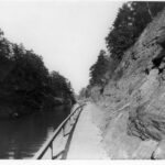
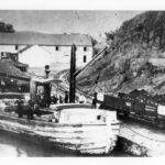
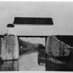
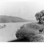
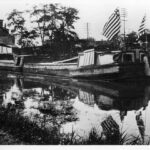
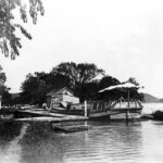
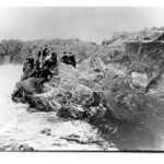
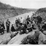
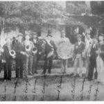
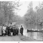
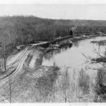
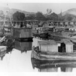
- Canal barges waiting to be filled with coal from the mines of Western Maryland, West Virginia, and South Western Pennsylvania. Credit: E.B. Thompson Collection, Chesapeake & Ohio Canal National Historical Park
-
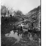
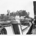
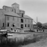
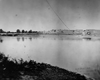
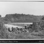
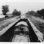
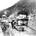
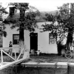
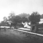
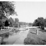
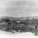
- Barges wait for their turn to be filled with their coal cargo. A repair scow is also seen in this photograph. Credit: Chesapeake & Ohio Canal National Historical Park
-
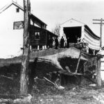
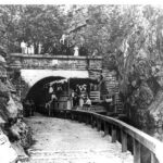
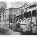
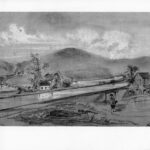
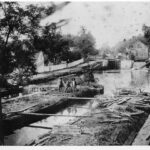
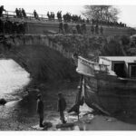
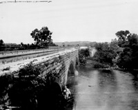
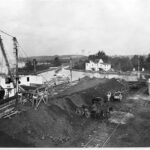
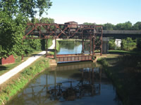
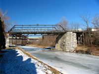
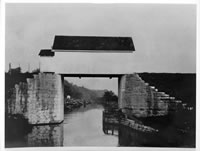
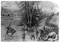
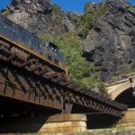
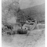
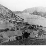
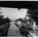
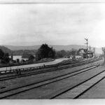
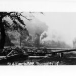
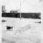
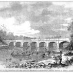
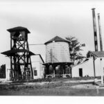
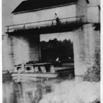
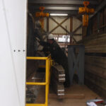
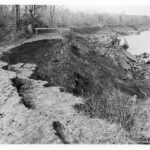
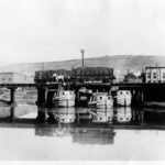
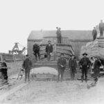
- Canal barges would be placed underneath the train trusses in order to have their cargo of coal dumped into their hulls from the cars above. Notice to the left of the picture how much draft the loaded boat takes in comparison to the boat getting ready to be loaded. Credit: Chesapeake & Ohio Canal National Historical Park
-
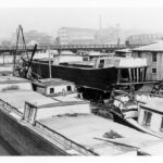
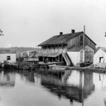
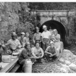
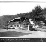
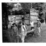
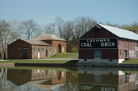
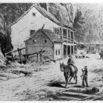
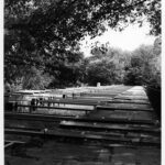
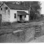
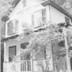
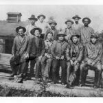
- Because of the demand for boats to carry coal from Cumberland to Georgetown, the boat building industry in Cumberland employed many men to keep up with the demand for new boats as well as repair of the old boats. Credit: Chesapeake & Ohio Canal National Historical Park
-
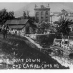
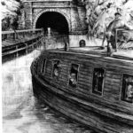
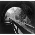
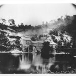
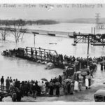
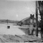
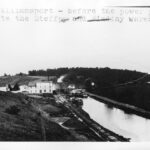
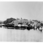
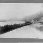
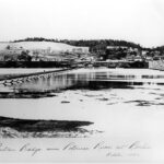
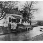
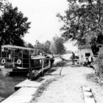
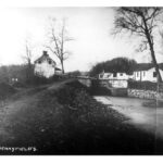
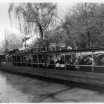
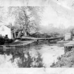
- Canal boats line the canal waiting to bring their cargoes down stream to the markets of Williamsport and Georgetown. In the foreground are boats waiting to be loaded with coal. Credit: Chesapeake & Ohio Canal National Historical Park
-

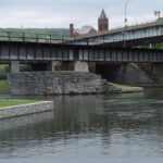
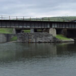
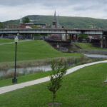
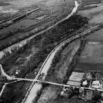
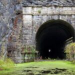
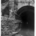
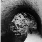
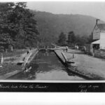
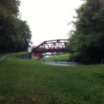
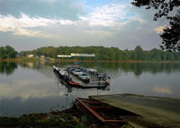
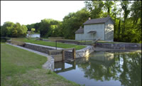
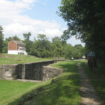
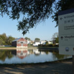
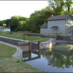
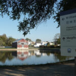
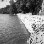
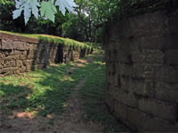
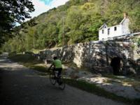
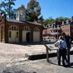
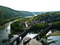
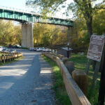
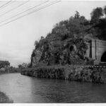
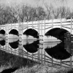
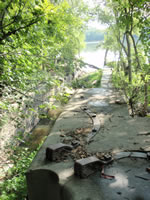
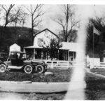
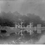
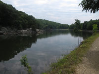
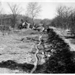
- Though much of the original canal basin at the Cumberland Terminus has not been filled in, you can visit a portion that has been rewatered. Credit: Chesapeake & Ohio Canal National Historical Park
-

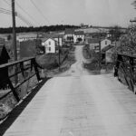
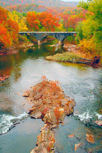
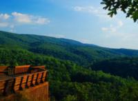
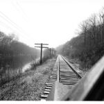
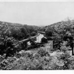
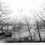
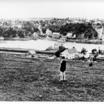
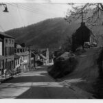
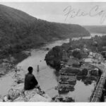
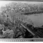
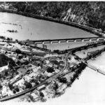
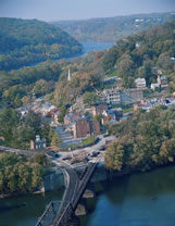
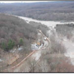
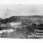
- The Cumberland skyline with the Narrows in the background and Mt. Thunder approaching the Western Maryland Railway Station in the foreground. Credit: Chesapeake & Ohio Canal National Historical Park
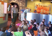
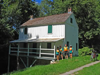
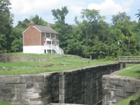
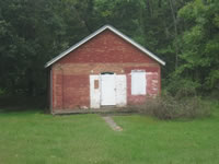
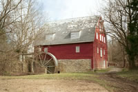
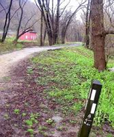
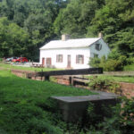
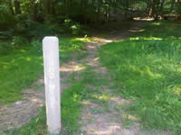
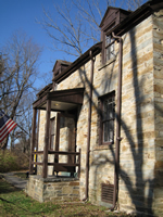
Visitor Center
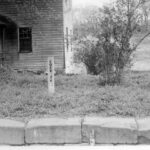
Milepost 184.6
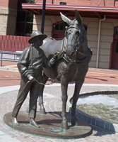
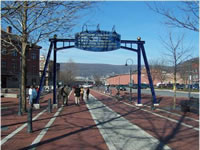
Mule Sculpture
Milepost 184.6
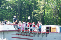
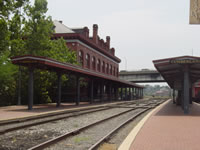
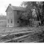
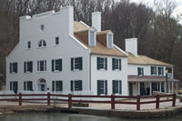
The Cumberland
Milepost 184.5
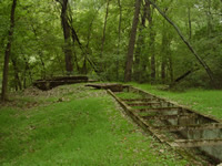
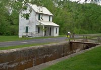
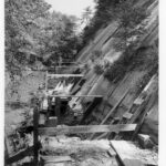
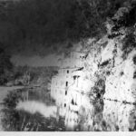
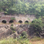
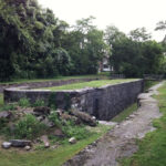
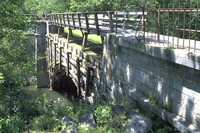
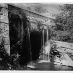
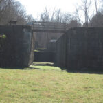
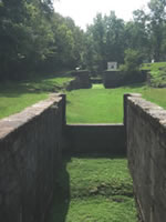
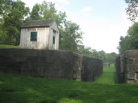
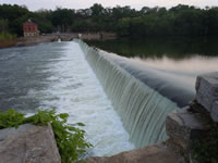
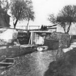
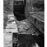
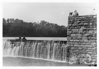
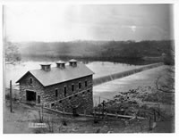
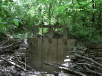
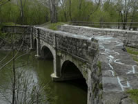
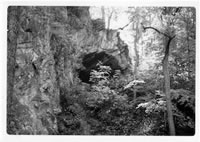
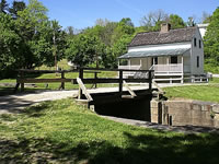
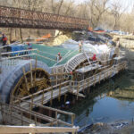
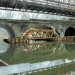
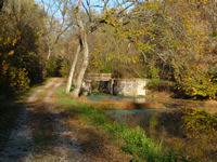
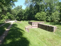
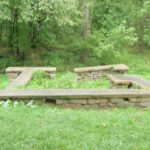
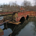
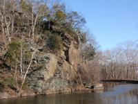
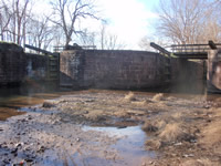
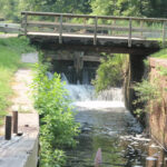
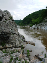
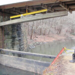
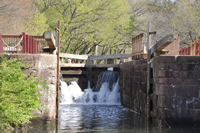
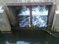
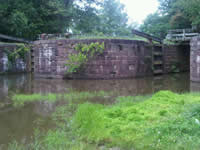
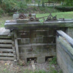
Inlet Feeder Guard Locks & Dam 8 Remnants
Milepost 184.5