C&O Canal National Historical Park Continues Important Work to Protect Rare, Threatened, and Endangered Plants
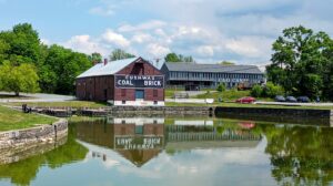
C&O Canal NHP Receives Maryland Historical Trust Award for Excellence in Historic Preservation and Sustainable Design