Skip to content
About
About the C&O Canal Trust
About the Park
Our Partnership with the National Park Service
Our Accountability
Our Staff
Board of Directors
Our Work
Philanthropic Support
Volunteer Programs
Community Engagement
News
Press
Visit & Stay
Plan & Explore
Stay at a Lockhouse
Canal Towns Partnership
Current Park Conditions
Events
Events Calendar
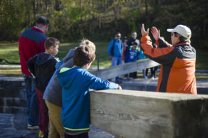
Canal Community Days
Support
Support the C&O Canal Trust
Our Funding Priorities
Sponsorship Opportunities
Volunteer
Shop
About
About the C&O Canal Trust
About the Park
Our Partnership with the National Park Service
Our Accountability
Our Staff
Board of Directors
Our Work
Philanthropic Support
Volunteer Programs
Community Engagement
News
Press
Visit & Stay
Plan & Explore
Stay at a Lockhouse
Canal Towns Partnership
Current Park Conditions
Events
Events Calendar
Canal Community Days
Support
Support the C&O Canal Trust
Our Funding Priorities
Sponsorship Opportunities
Volunteer
Shop
Donate
Category: Volunteer
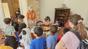
Shaping the Future Through Canal Classrooms
Make a Difference this Plastic Free July
Williamsport Canal Community Days 2025
Ways to Volunteer with the C&O Canal Trust
Summer Programming Heats Up in July
Celebrating National Wellness Month
C&O Canal Trust Concludes Programming for 2023 with Five Events in November
Canal Community Story- Mike Felder
Canal Community Story: Don Ramsey
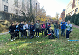
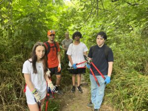
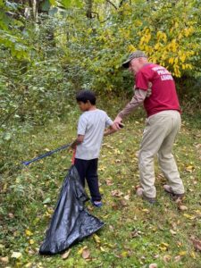
Nearly 50 Volunteers Participated in 15th Annual Canal Community Days Clean-Up Event in Williamsport
Canal Stewards Application
April 23 at Great Falls – Varnish the Mercer
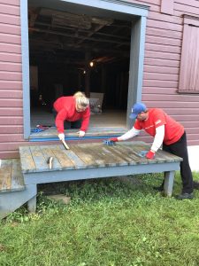
May 14 in Williamsport – Painting
April 23 at Great Falls – Invasive Species Removal
April 23 at Great Falls – Filling Potholes
April 23 at Great Falls – Mulching
Personal Canal Cleanup Interest Form
Corporate and Nonprofit Stewardship Interest Form
Canal Community Days Event at Great Falls
Adopt A Site!
Meet Béla Demeter, Canal Steward
The McNulty Family Cleans up Violettes Lock on MLK Day
Volunteers Contribute Thousands of Hours to the Park
Volunteer Efforts Invaluable to C&O Canal
Let's Explore!
Search
Search