Skip to content
About
About the C&O Canal Trust
About the Park
Our Partnership with the National Park Service
Our Accountability
Our Staff
Board of Directors
Our Work
Philanthropic Support
Volunteer Programs
Community Engagement
News
Press
Visit & Stay
Plan & Explore
Stay at a Lockhouse
Canal Towns Partnership
Current Park Conditions
Events
Events Calendar
Canal Community Days
Park After Dark
Support
Support the C&O Canal Trust
Our Funding Priorities
Sponsorship Opportunities
Volunteer
Shop
Donate
Category: Fish
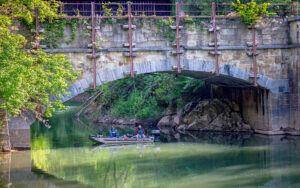
Hooked on the C&O Canal: A Fishing History
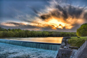
Outdoor Recreational Opportunities Along the C&O Canal
Let's Explore!
Search
Search