
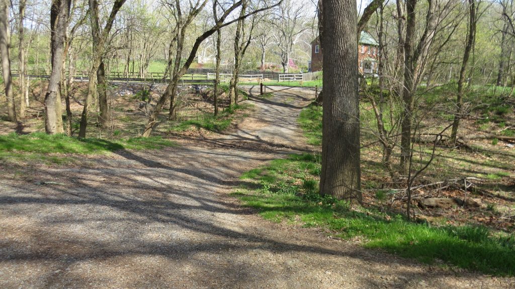
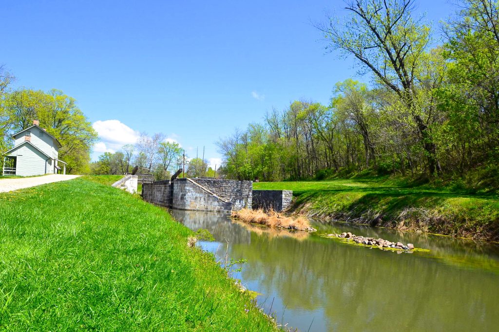
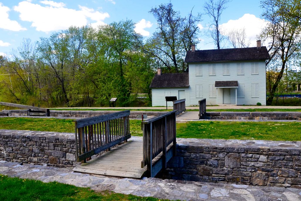
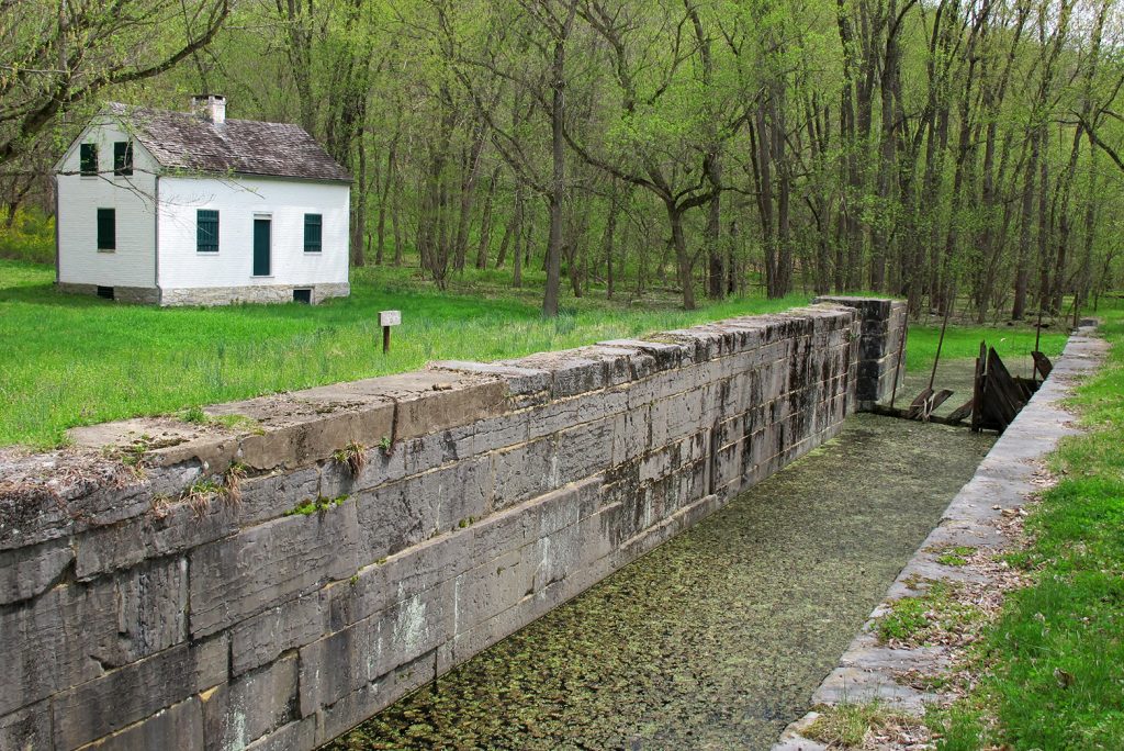
Four Locks
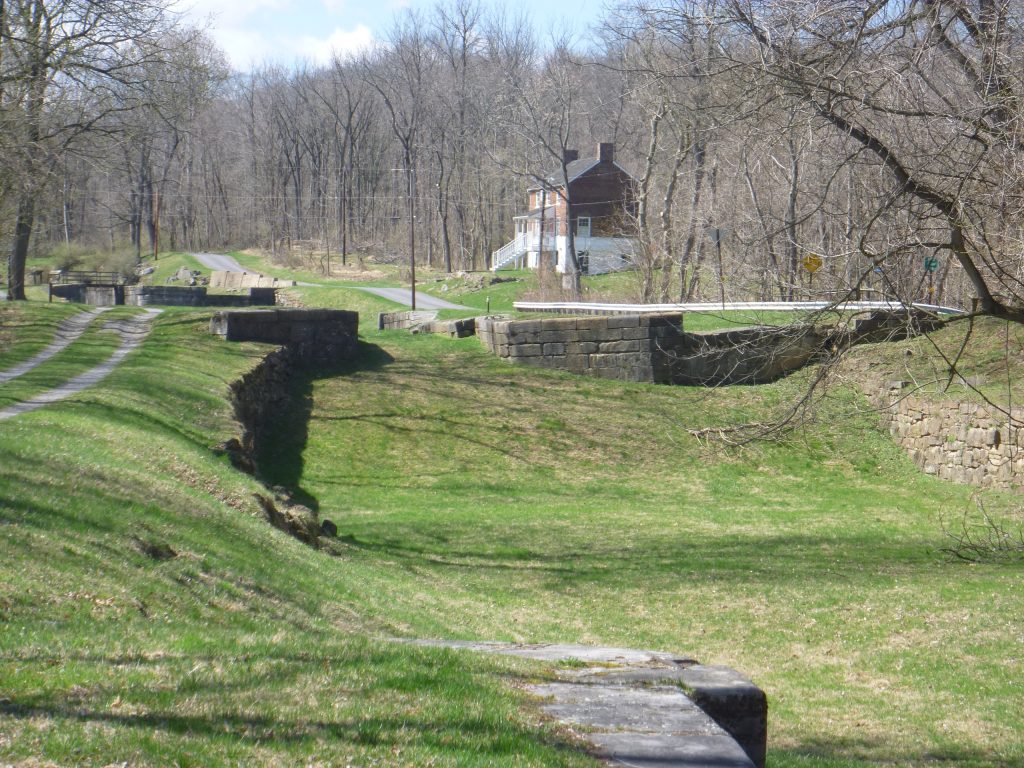
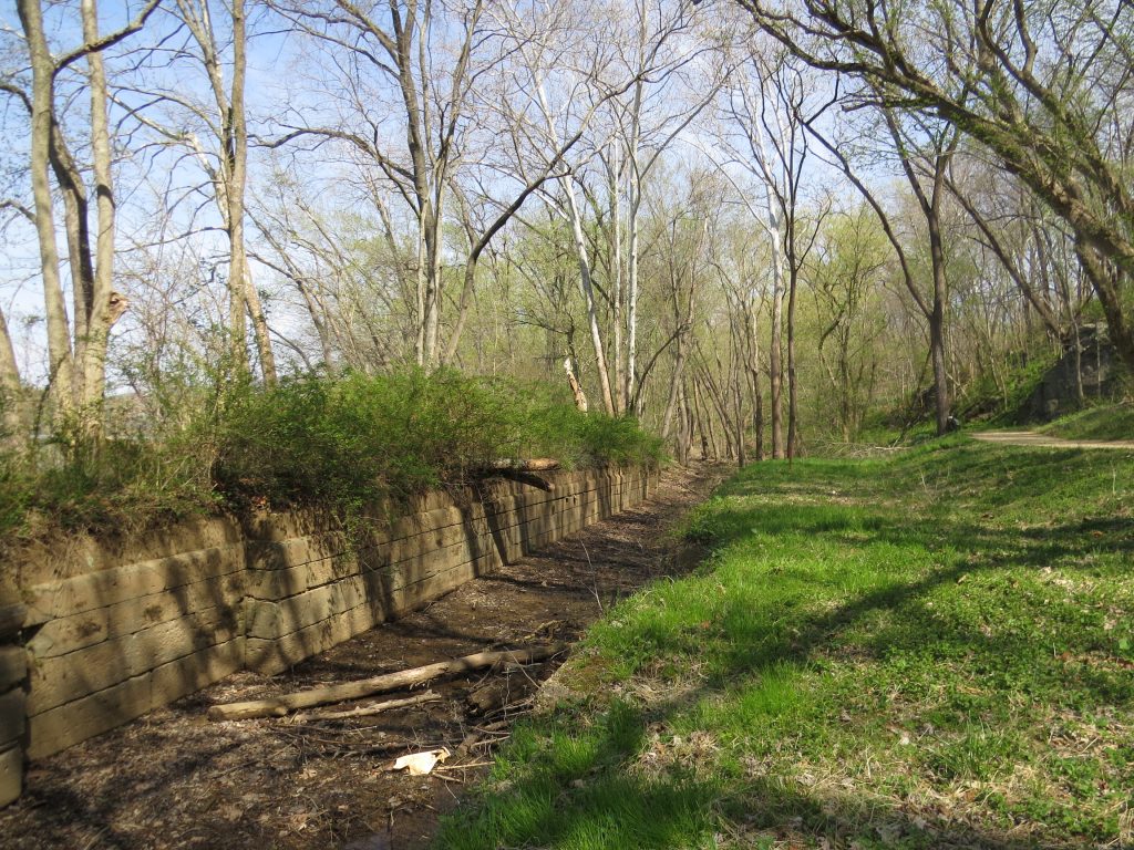
Built between 1836 and 1839, these four locks (47, 48, 49 & 50) are made of blue-gray limestone from Prather’s Quarry. Together raising the canal approximately 32 feet, boats could […]
Town of Four Locks
The Town of Four Locks is a Canal Discovery! Read a Park Ranger’s story and view other multimedia on our Canal Discovery page.
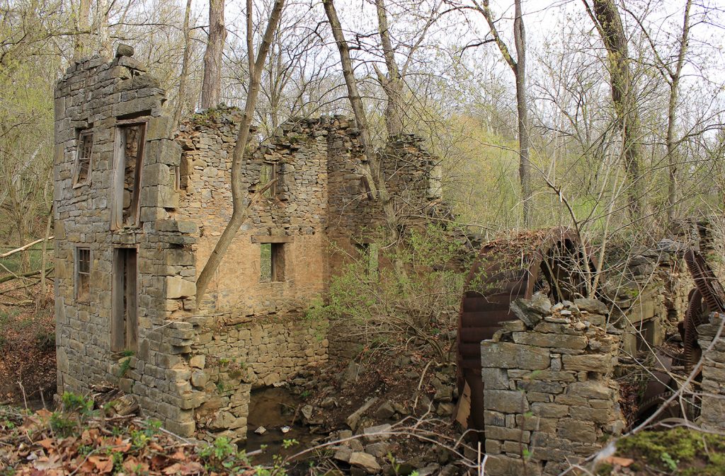
Charles Mill
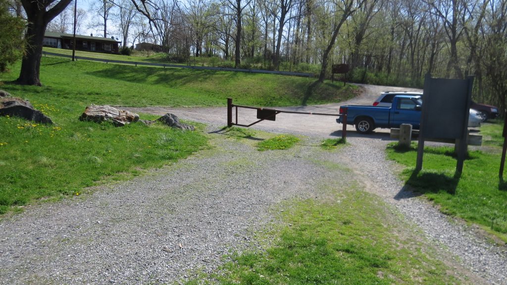
Lock 46 Parking
Small lot off Ashton Road, near Lock 46.
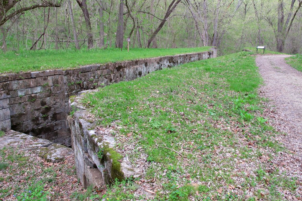
Lock 46
Lock 45
Dam 5 Parking
Limited parking along road off Dam Number 5 Road, near Dam 5 and Lock 45.
Dam 5 Restroom
Dam 5/Guard Lock
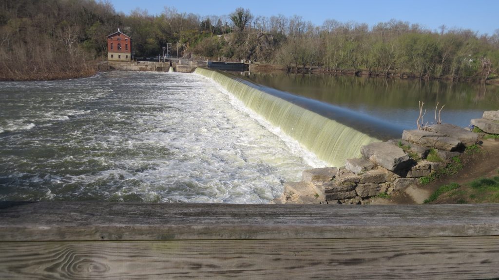
Originally constructed of timber in 1835, Dam No. 5 was an important source of hydro power for millworks on the river. As soon as the dam was built, Edward Colston […]
Middlekauff’s Dam/Labor Riot
Upstream from the bridge over Little Conococheauge Creek is a stone dam providing a head of water for Middlekauff’s Mill. Near the dam is a hill where an ‘Irish Civil […]
Gift Road
Dirt road for last 10th of mile with parking near.
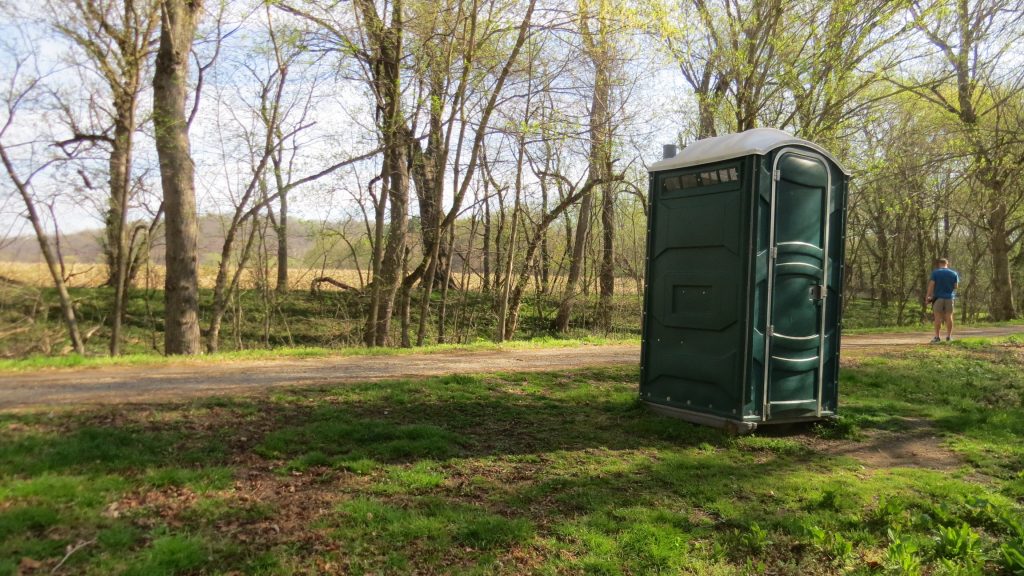
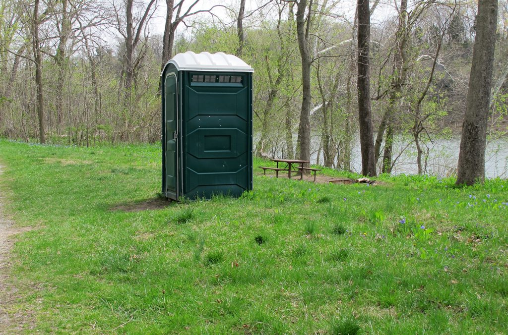
Jordan Junction Restroom
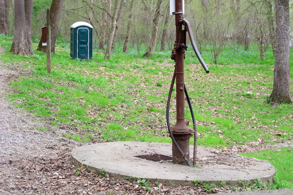
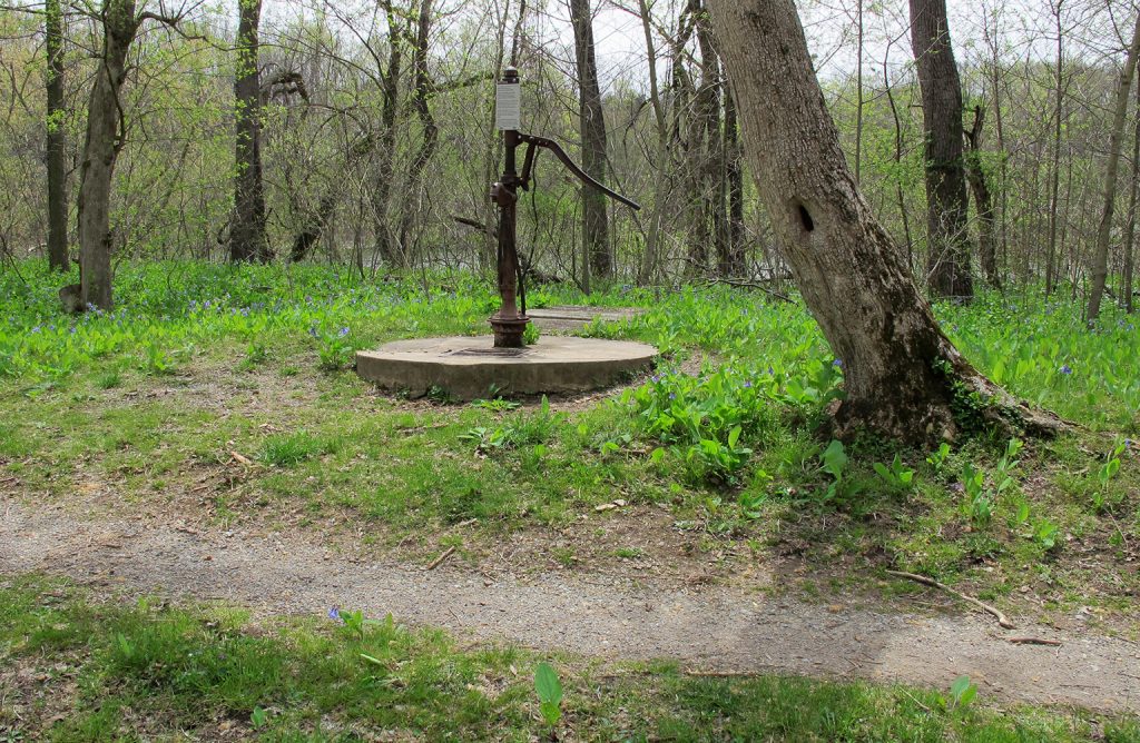
Jordan Junction Campsite Hand Pump
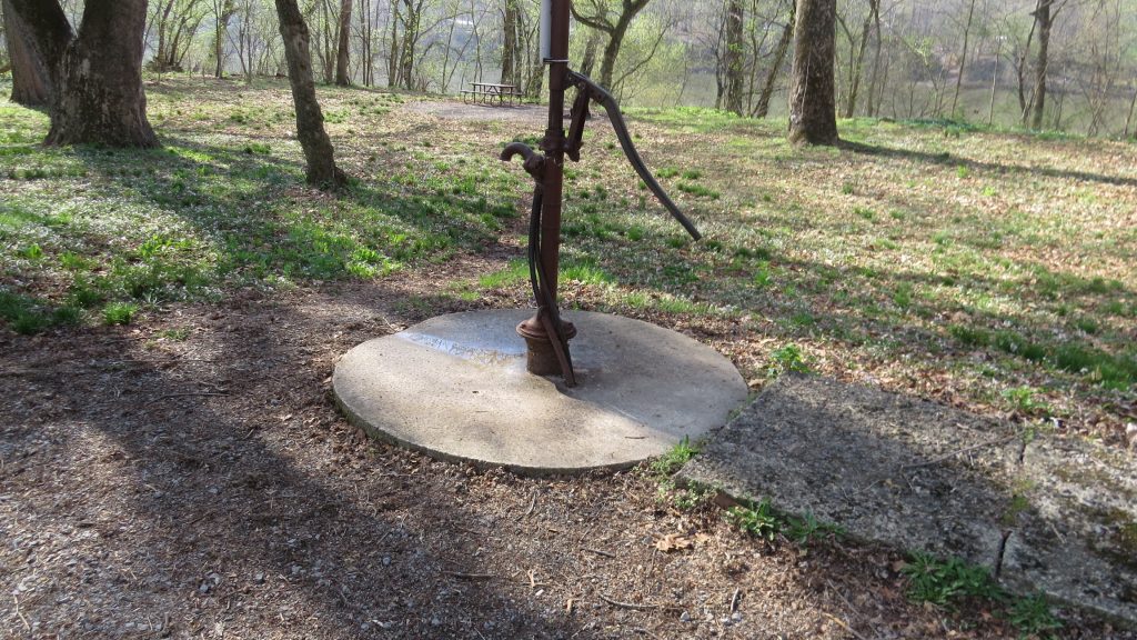
Please Note: Potable water may not be available at each campsite. Water is treated with iodine. Please plan to have water purification tablets with you. Water is turned off from […]
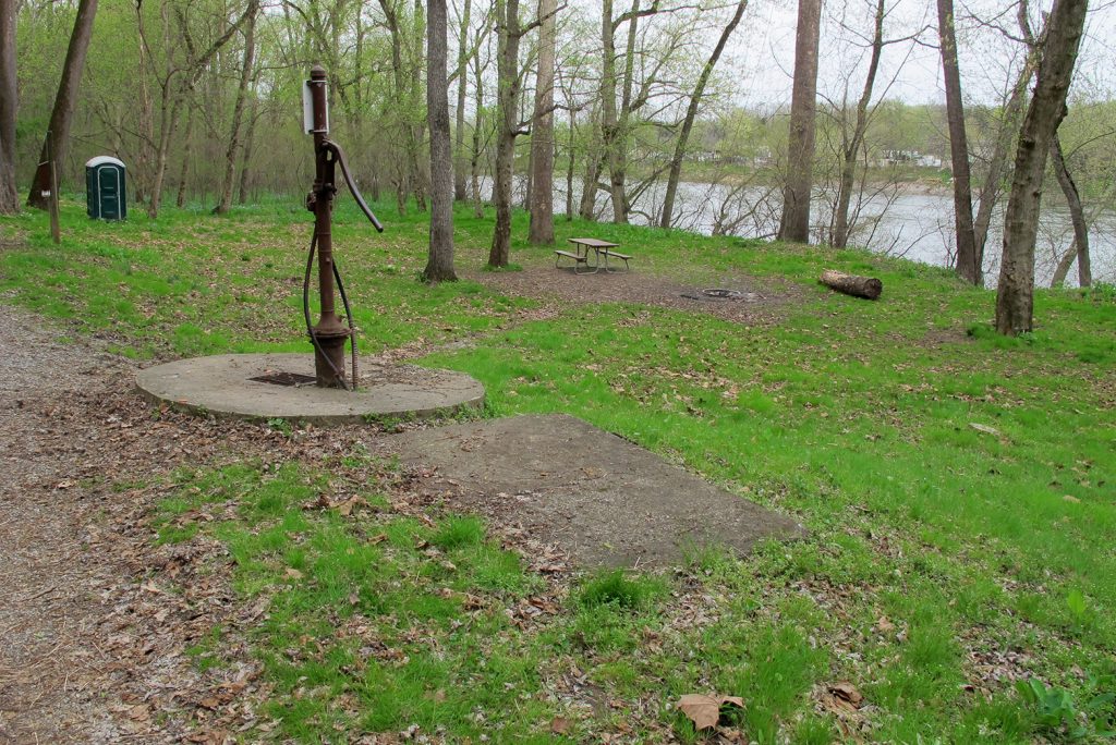
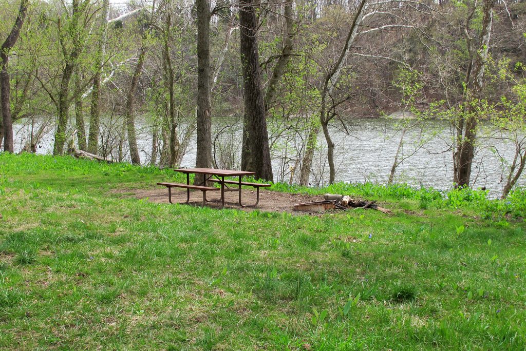
Jordan Junction Campsite
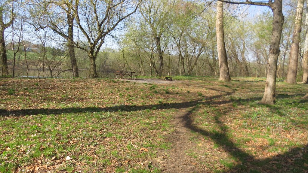
Some of the Canal’s hiker/biker campgrounds seem like they’re out in the middle of nowhere. This isn’t one of them. The Jordan Junction campground, just a quarter mile upstream from […]
Byron Memorial Park
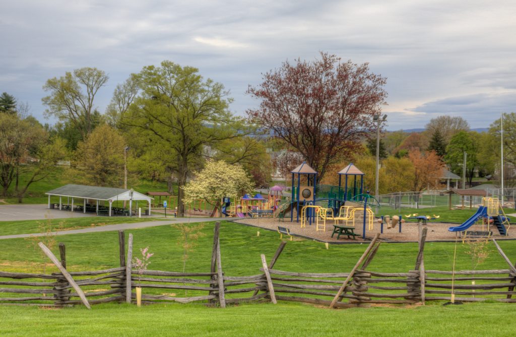
Williamsport’s own website describes the Byron Memorial Park as “small town life with that warm blanket feel.” Byron Memorial Park is your quintessential park, little league games and all. Also […]
Springfield Barn and Museum
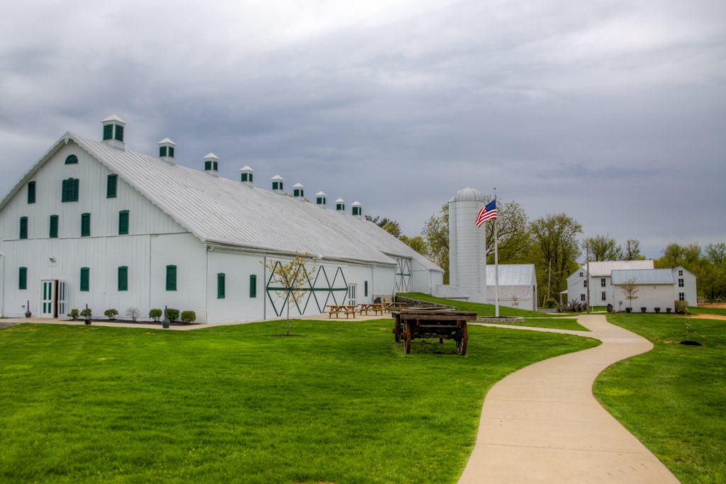
Wander down Potomac Street onto Springfield Lane to see a wide-open view that will take you back in time. Built circa 1755 by Williamsport’s founder Otho Holland Williams, the Springfield […]
Conococheague Aqueduct
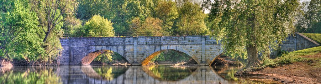
The Conococheague Aqueduct is a watered and fully operational aqueduct in Williamsport. It has three 60 -foot arches and is 196 feet long, making it the second longest aqueduct on […]
Williamsport C&O Canal Visitor Center
First settled in 1732, Williamsport’s history dates long before this to days when Native American travelers, fur traders, and settlers would pass through Williamsport on their journey west. This quaint […]
Conococheague Creek
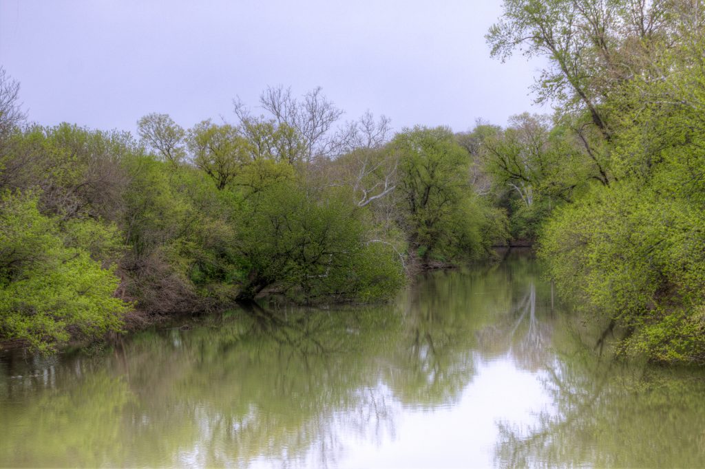
Conococheague Creek has many pronunciations – though it seems the most accepted is “KAH-no-KAH-cheek,” with the accent on the second to last syllable. Conococheague Creek begins in Franklin County, Pennsylvania, […]
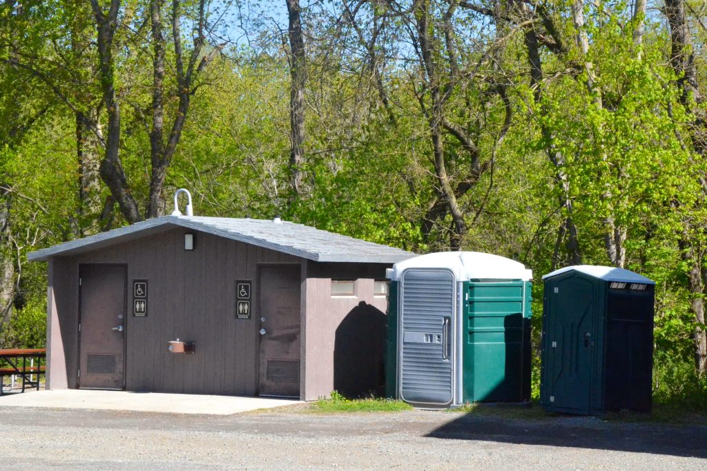
Williamsport Restrooms
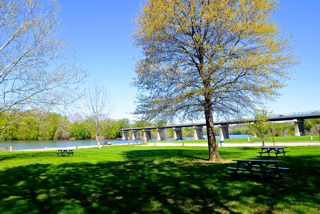
Williamsport Picnic Tables
Williamsport Boat Ramp
Williamsport Visitor Center Parking
Large lot near Williamsport Visitors Center and Cushwa Basin, with towpath access.
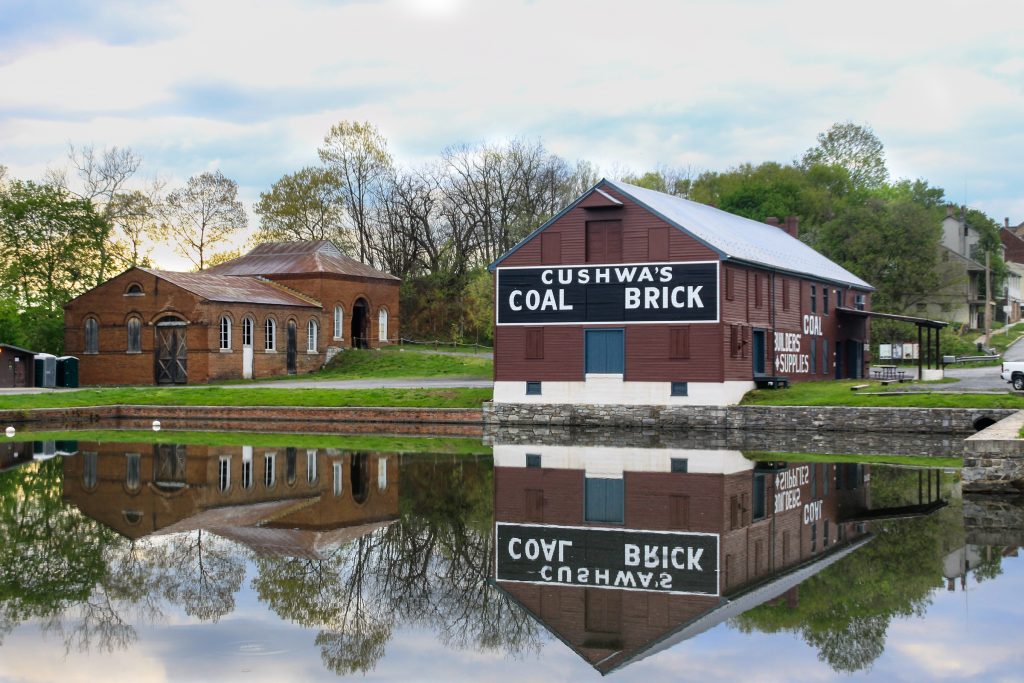
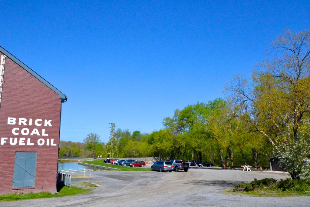
Cushwa Basin
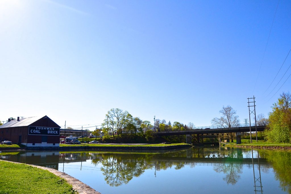
Developed as a major point for loading/unloading on the Canal, the Cushwa Basin was one of the few places on the Canal that a boat could turn around. Sitting on […]
Bollman Bridge
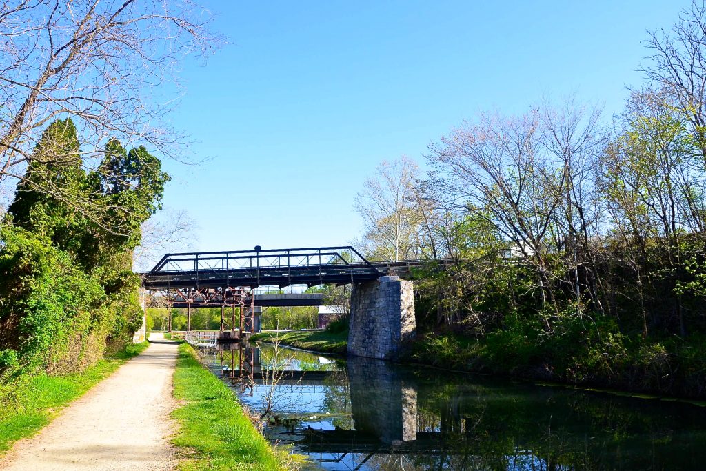
Patapsco Bridge and Iron Works built the present road bridge crossing, Bollman Bridge, with Wendall Bollman as their chief, in 1879. Bollman was a self-taught engineer who started at the […]
Doubleday Hill/River View Cemetery
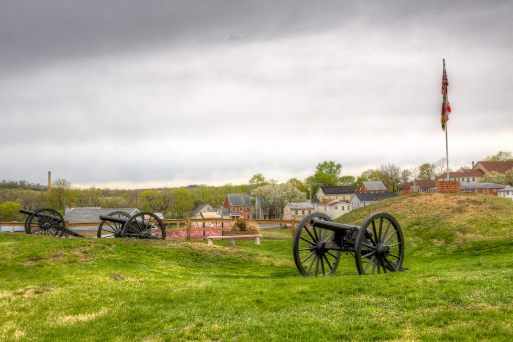
The long hill along the raised bank of the canal is known as Battery Hill or Doubleday Hill. Legend has it that General Abner Doubleday occupied the hill and played […]
Lock 44 Parking

Small lot off Main Street, near Lock 44 and Lockhouse 44, with access to the towpath.
Williamsport
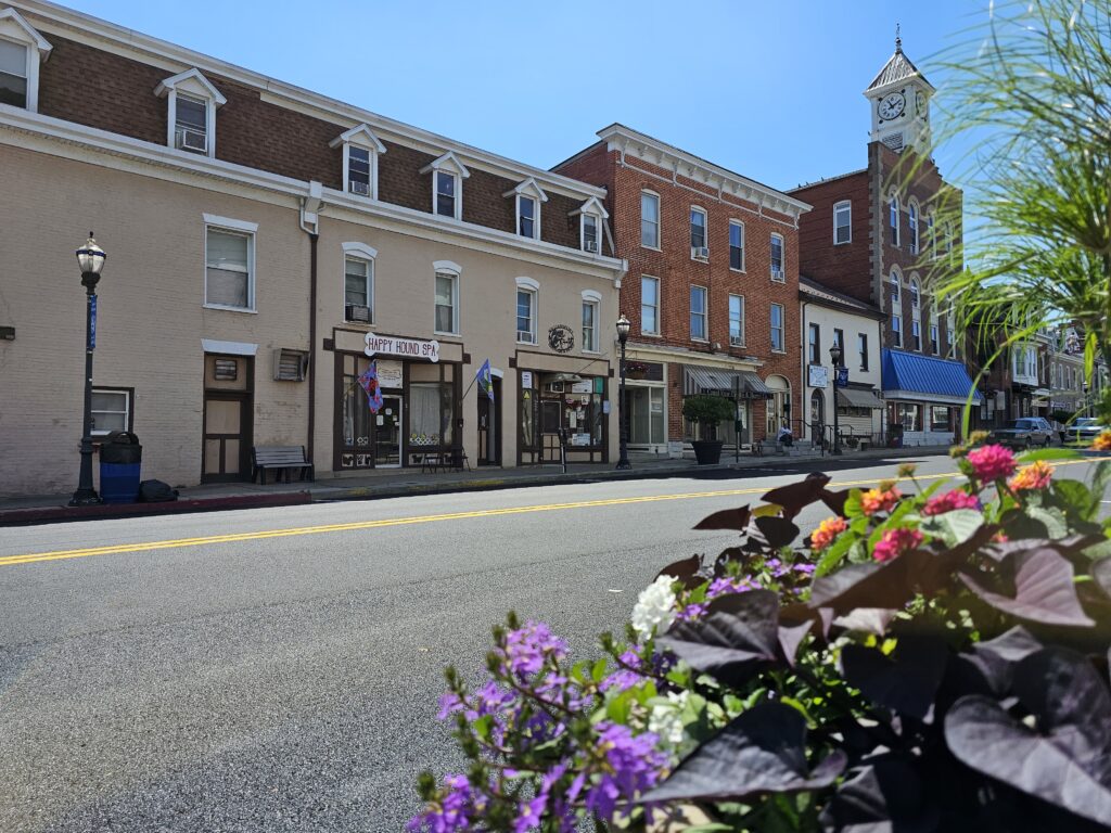
Centrally located along the C&O Canal, Williamsport, Maryland is a thriving small town and bustling area for locals and tourists alike. It also has a rich history. The town’s location […]
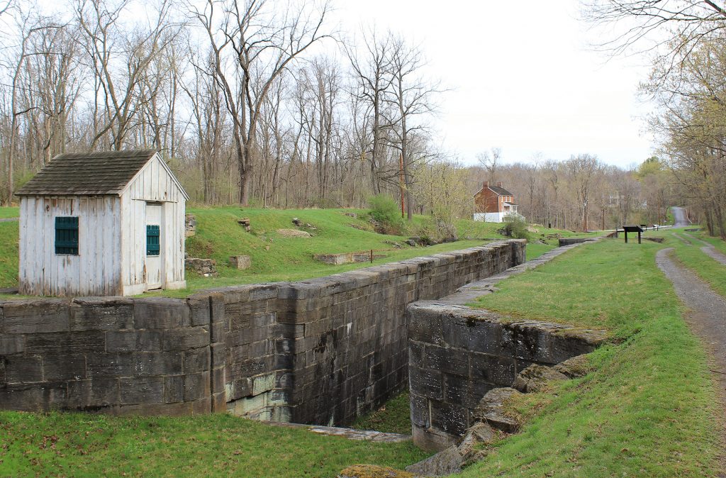
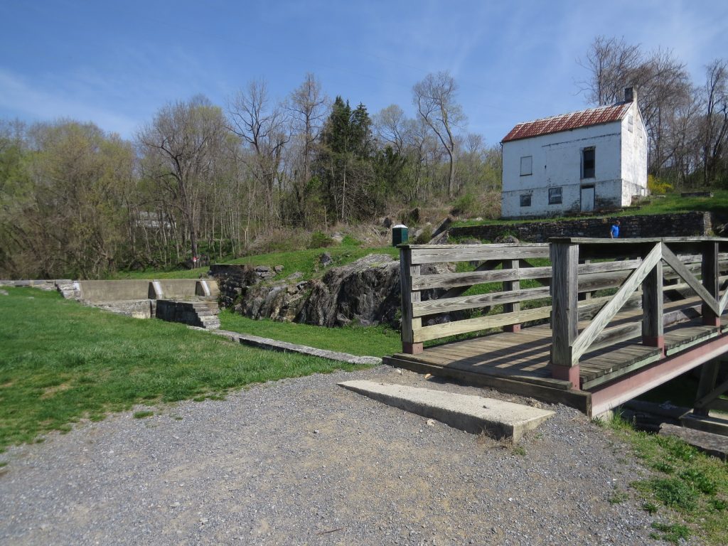
Lock 44
The gray and white limestone Lock 44 is located adjacent to downtown Williamsport, with an earthen dyke that leads over to Main Street. Those who are interested in Canal infrastructure […]
Lockhouse 44
When you walk the towpath near Lockhouse 44 in Williamsport, ponder those whose footsteps you’re following. Tens of thousands have walked here before you, including barefoot 10-year old mule drivers […]
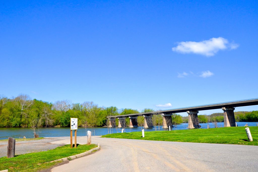
Cumberland Valley Railroad Bridge
The Cumberland Valley Railroad (CVRR) was chartered in 1831 and began travel in Pennsylvania in 1835. It eventually expanded to Virginia, Maryland, and West Virginia. During the Civil War, the […]
Cumberland Valley Restroom

Cumberland Valley Campsite Hand Pump
Please Note: Potable water may not be available at each campsite. Water is treated with iodine. Please plan to have water purification tablets with you. Water is turned off from […]
Cumberland Valley Campsite
The first campsite south of Williamsport on the Canal, Cumberland Valley Campsite is named after the nearby railroad of the same name. The Cumberland Valley Railroad was built to connect […]
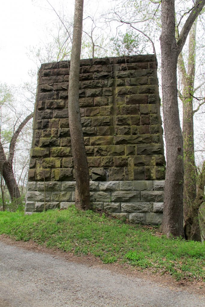
Falling Waters
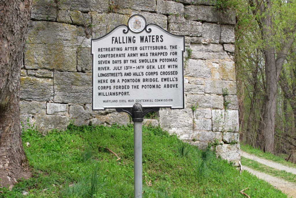
Falling Waters, West Virginia got its name from a cascading stream near the Potomac. A convenient river crossing, its most famous crossing came in the summer of 1863. After the […]
Lock 43
Located just upstream from the Canal’s midpoint, Lock 43 was constructed of blue-gray limestone. A white-washed brick lockhouse is still standing near the site.
Opequon Junction Restroom
Opequon Junction Campsite Hand Pump
Please Note: Potable water may not be available at each campsite. Water is treated with iodine. Please plan to have water purification tablets with you. Water is turned off from […]
Opequon Junction Campsite
Looking across the Potomac from this campground, you’ll see the mouth of its namesake creek. Historically, Opequon Creek played an important role in pre-1800 America. The creek was navigable upstream […]
Lock 42
Locks 41 and 42 are located at the north end of a calm stretch of Potomac River aptly named “Big Slackwater.” Depending on which direction a Canal boat was headed, locks […]