Skip to content
About
About the C&O Canal Trust
About the Park
Our Partnership with the National Park Service
Our Accountability
Our Staff
Board of Directors
Our Work
Philanthropic Support
Volunteer Programs
Community Engagement
News
Press
Visit & Stay
Plan & Explore
Stay at a Lockhouse
Canal Towns Partnership
Current Park Conditions
Events
Events Calendar
Canal Community Days
Park After Dark
Support
Support the C&O Canal Trust
Our Funding Priorities
Sponsorship Opportunities
Volunteer
Shop
Donate
Category: Blog
Meet the Inaugural Andrew Reisse Natural Resource Conservation Fellow, Madeleine Gagliano!
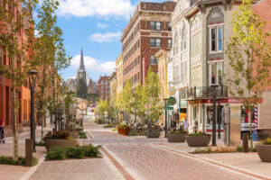
A Day in Cumberland, Maryland – An Itinerary
A Day in Paw Paw, West Virginia – An Itinerary
A Day in Hancock, Maryland – An Itinerary
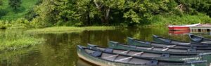
Hooked on the C&O Canal: A Fishing History
A Day in Williamsport, Maryland – An Itinerary
A Day in Sharpsburg, Maryland – An Itinerary
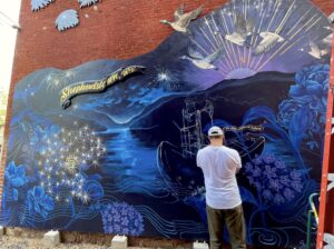
A Day in Shepherdstown, West Virginia – An Itinerary
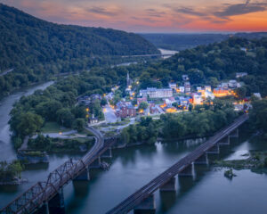
A Day in Harpers Ferry & Bolivar, West Virginia – An Itinerary
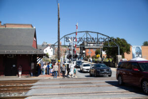
A Day in Brunswick, Maryland – An Itinerary
A Day in Point of Rocks, Maryland – An Itinerary
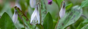
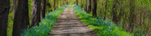
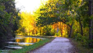
Spring Ephemeral Hotspots on the C&O Canal
Shining a Spotlight on National Invasive Species Awareness Week
Photo Contest Winners of 2025
Canal Community Story – Jenn Taylor
Celebrating National Water Quality Month
Celebrating Washington’s Birthday in 2025
Photo Contest Winners of 2024
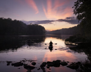
Winter Stargazing on the C&O Canal
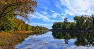
Fall Photo Gallery
C&O Canal Art Trail
Photo Contest Winners of 2023
The Trust is Thankful for…
Bat-tastic Fun Facts
Enjoy Delicious Ice Cream Treats on the C&O Canal Ice Cream Trail
Five Ways Birding at the C&O Canal Can Improve Your Health
Photo Contest Winners of 2022
Park After Dark Attendees Show Their Appreciation for the C&O Canal
Pollinators Along the C&O Canal
Spring Blossoms on the C&O Canal
An African American Engineer on the C&O Canal
Winter Wonderland Along the C&O Canal
Seeking Freedom Beyond the C&O Canal
Photo Contest Winners of 2021
What Are You Thankful For?
Volunteer Quartermasters Serve an Invaluable Role in the Canal Quarters Program
2021 TowpathGO! Raises Over $18,000 to Preserve the Park
Interview with Marea Petrelles, Volunteer Canal Steward
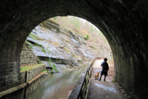
Hidden Gems Along the C&O Canal
5 Ways to Celebrate Maryland Day!
« Previous
Page
1
Page
2
Next »
Let's Explore!
Search
Search