
Big Pool Parking
Lot near Big Pool and the Big Pool Boat Ramp.
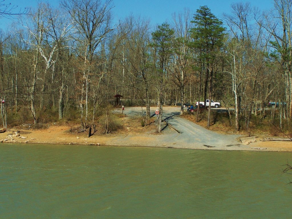
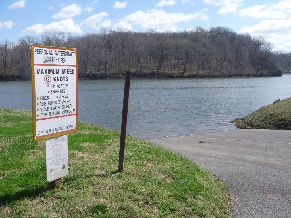
Big Pool Boat Ramp
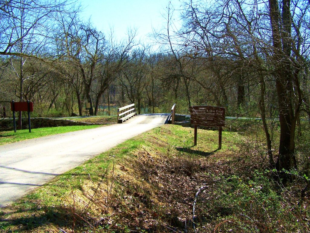
Big Pool
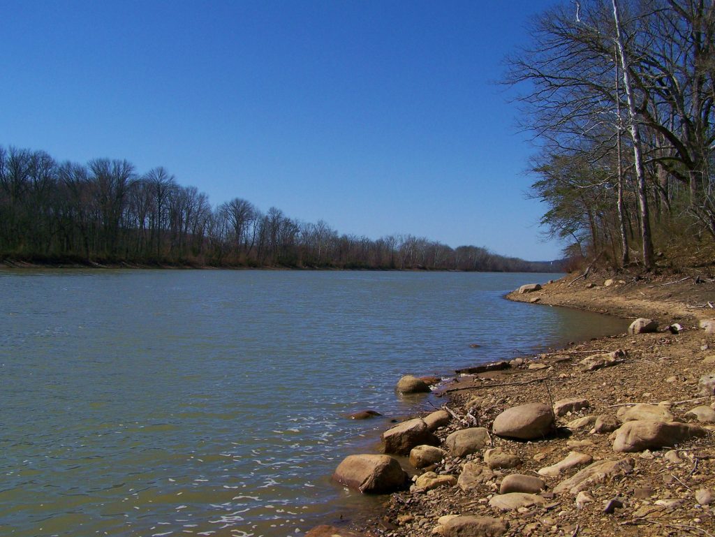
A natural pool, known as Big Pool, begins at mile 112.1. At roughly 1.5 miles long, it was a convenient turning point for canal boats. Big Pool is a natural […]
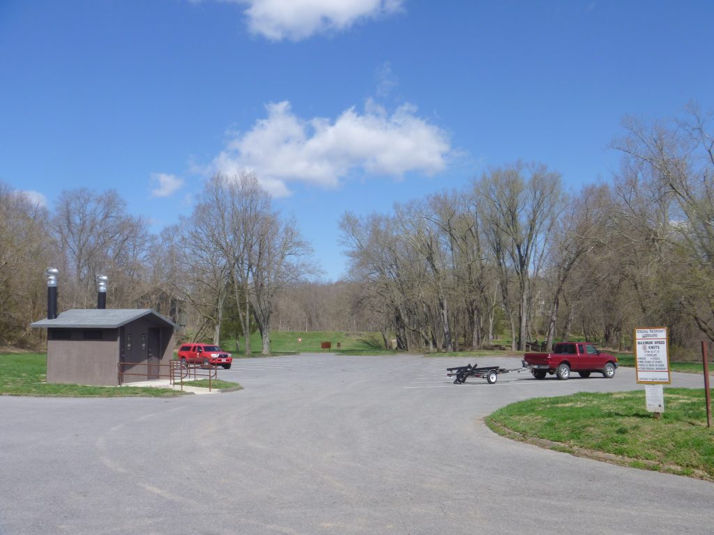
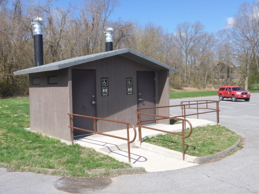
Fort Frederick State Park Parking
Small lot off Fort Frederick Road, near Fort Frederick State Park and Big Pool. Please stop at the Visitor’s Center for a parking pass.
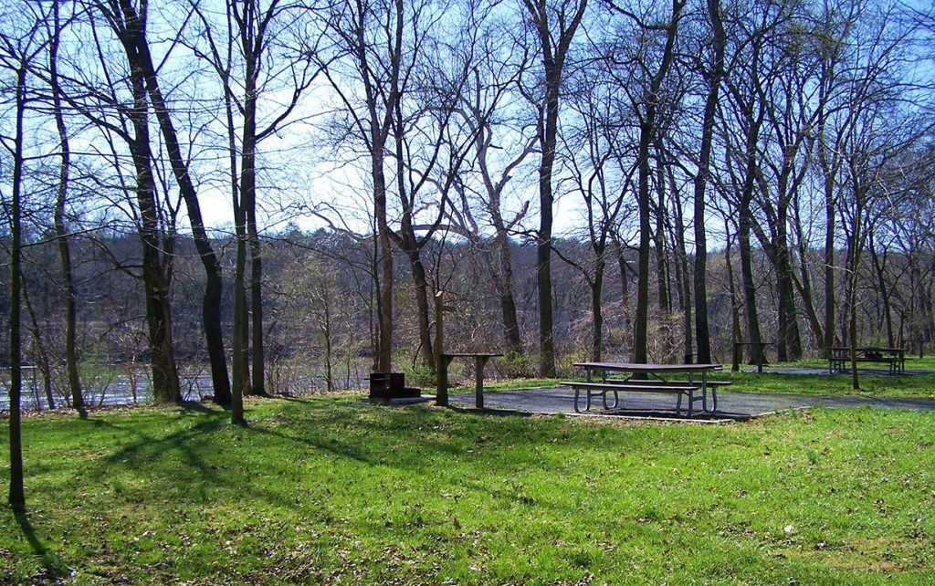
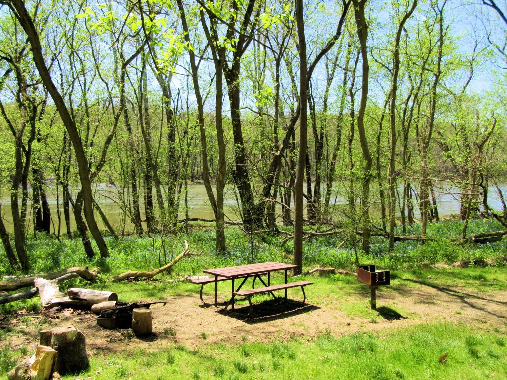
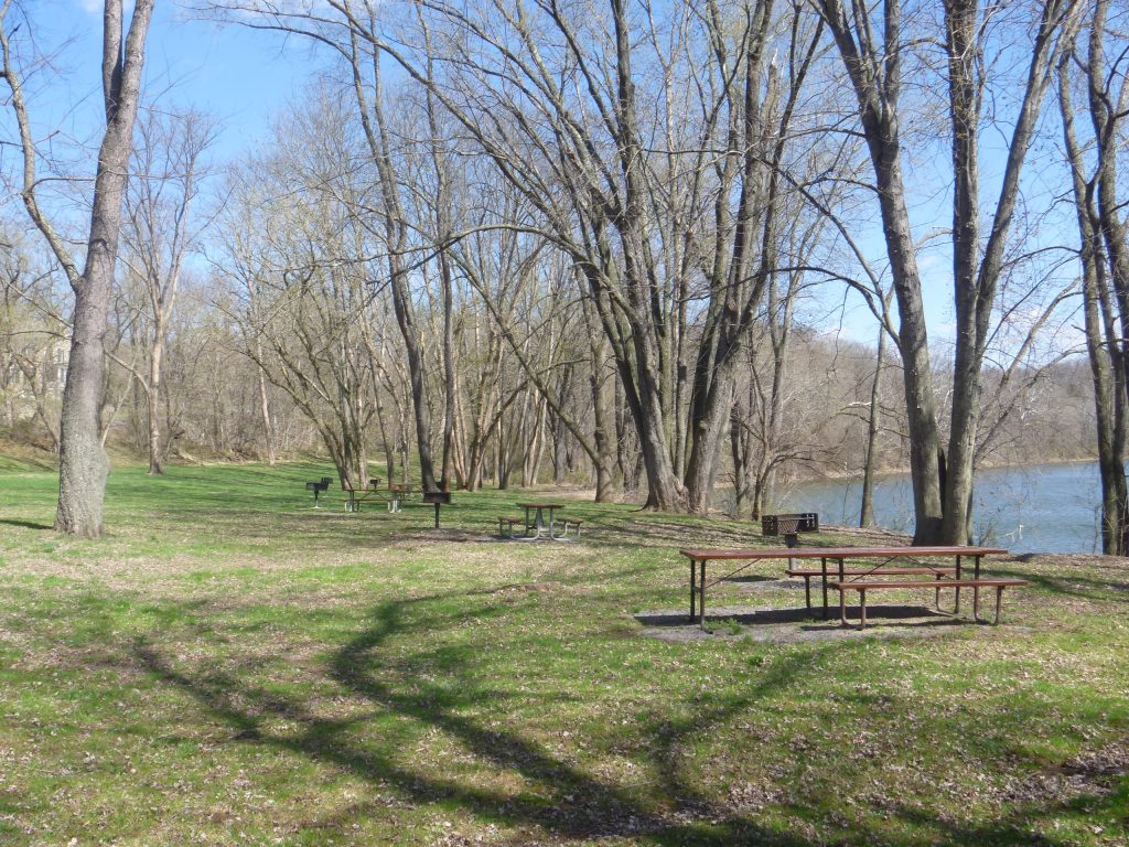
Fort Frederick State Park Picnic Tables
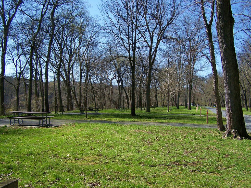
Fort Frederick State Park Campground
Visit the Fort Frederick State Park website for more information.
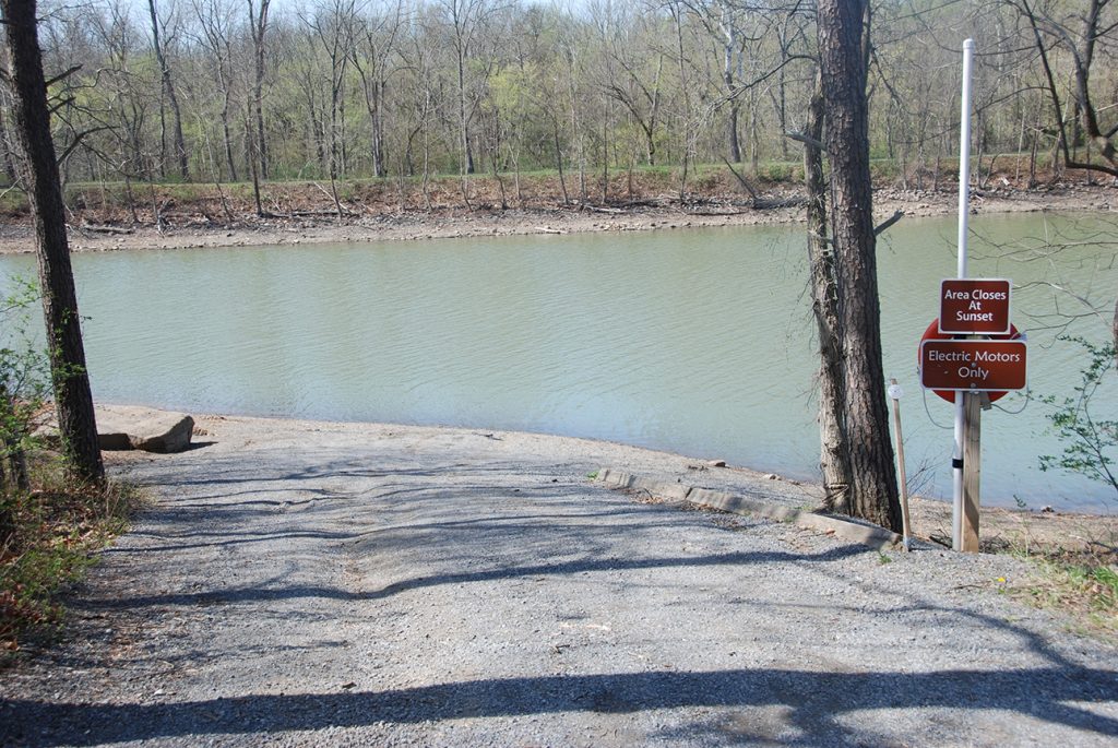
Fort Frederick State Park Boat Ramp
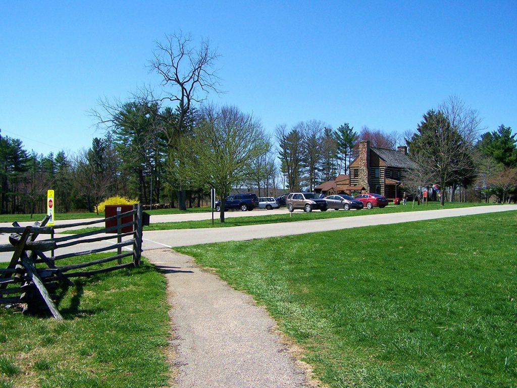
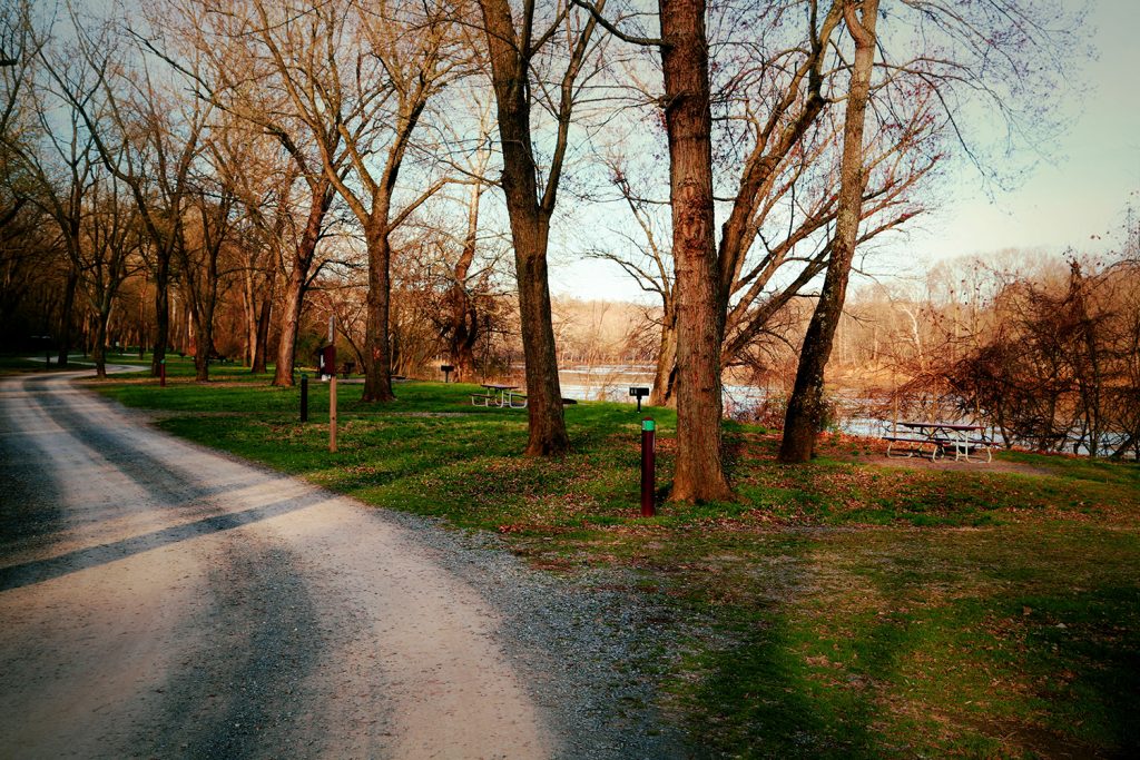
Fort Frederick State Park
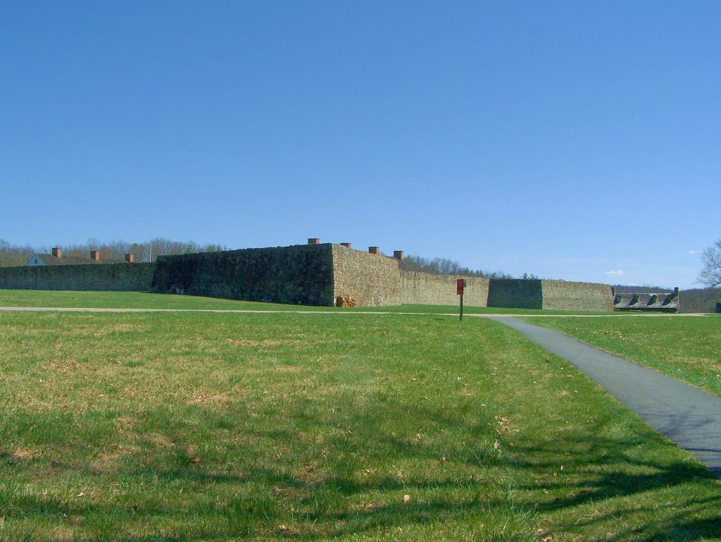
Bordering the Potomac River and surrounding parts of the C&O Canal is Fort Frederick State Park. A 585-acre park in the Cumberland Valley of Maryland, it is named after Fort […]
Green Spring Run/Furnace
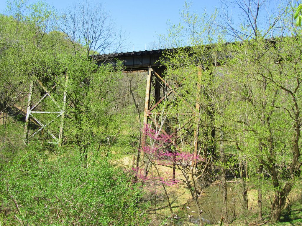
Green Spring Run provided waterpower for one of the largest furnace operations on the Potomac: Green Spring Furnace. In 1768-1769, Lancelot Jacques and Thomas Johnson built the Green Spring Furnace […]
McCoys Ferry Parking
Small lot off McCoys Ferry Road, near McCoys Ferry and McCoys Ferry Boat Ramp.
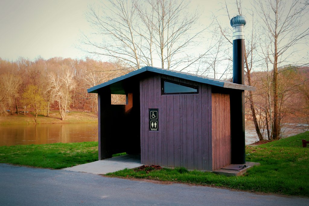
McCoys Ferry Restrooms
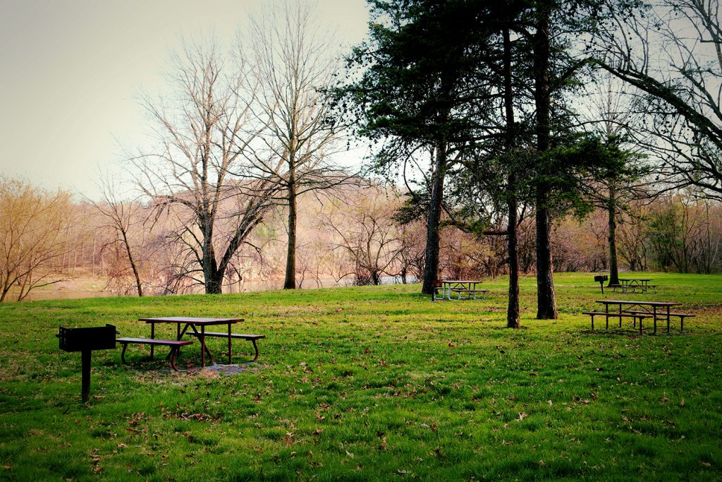
McCoys Ferry Picnic Tables
McCoys Ferry Boat Ramp
McCoys Ferry Drive-in Campground
Please visit the C&O Canal National Historical Park’s website for detailed camping information, or you can call 301-739-4200 with any questions. Site reservations can be made via the Recreation.gov website.
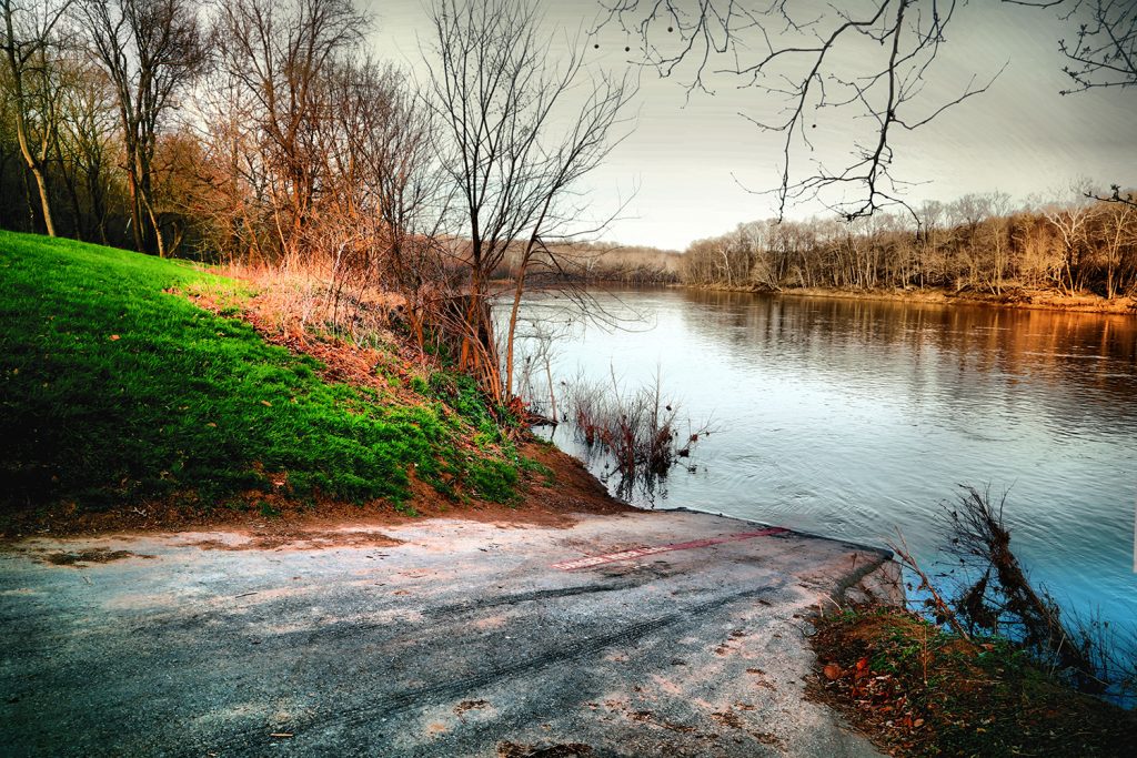
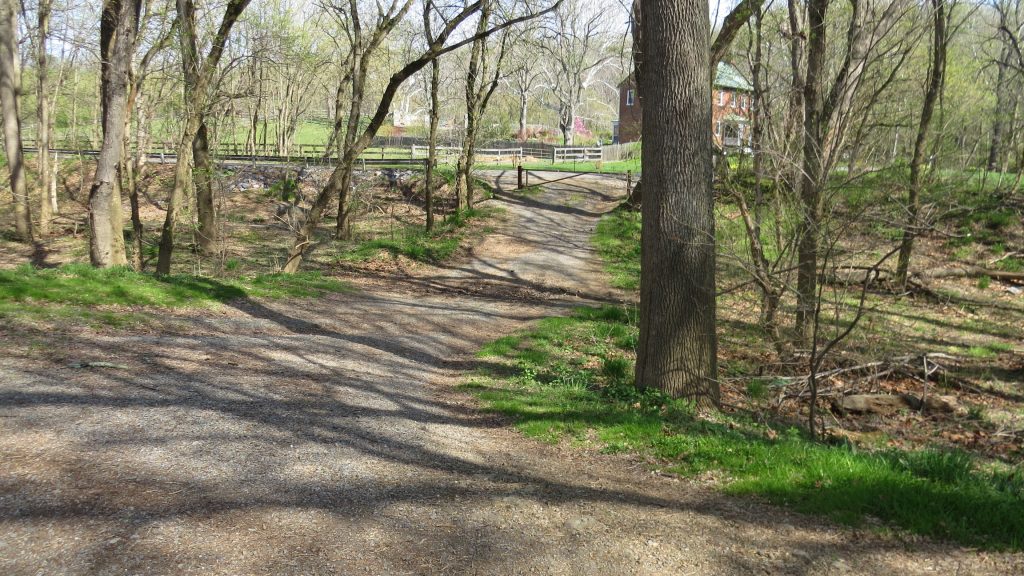
McCoys Ferry
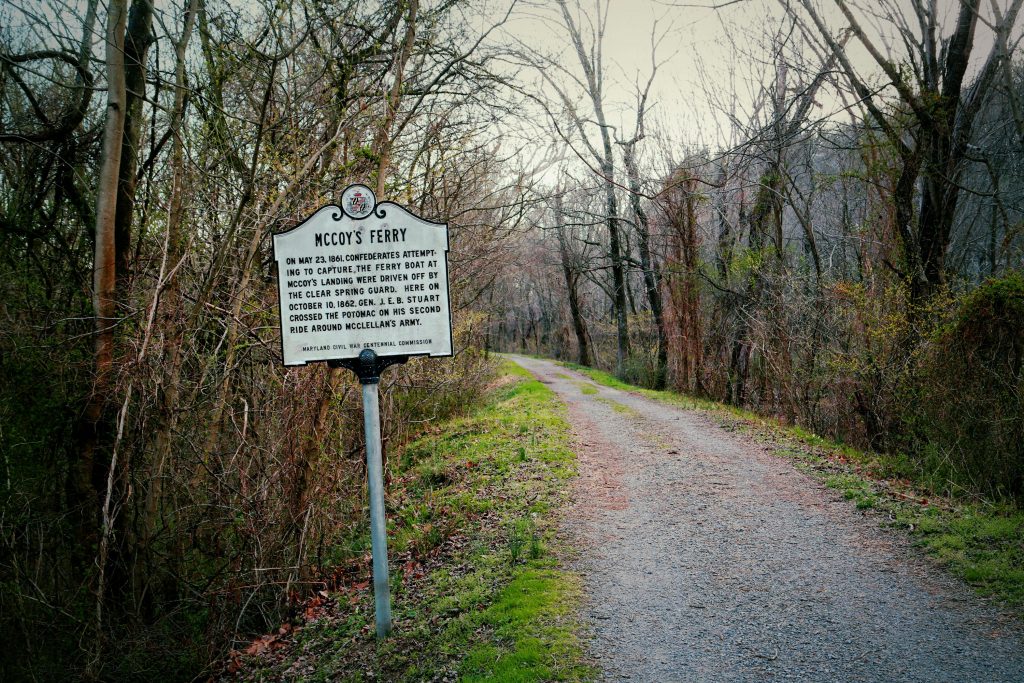
Fords and ferries were once located all along the 184.5 miles of the C&O Canal, providing places to cross the Potomac River. McCoys Ferry was one of those crossing sites. […]
North Mountain Restroom

North Mountain Campsite Hand Pump
Please Note: Potable water may not be available at each campsite. Water is treated with iodine. Please plan to have water purification tablets with you. Water is turned off from […]
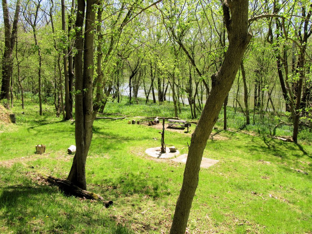
North Mountain Campsite
The name of this campsite comes from the high ridge across the Potomac River. Many people here also know it as Fairview Mountain. The base of this mountain was the […]
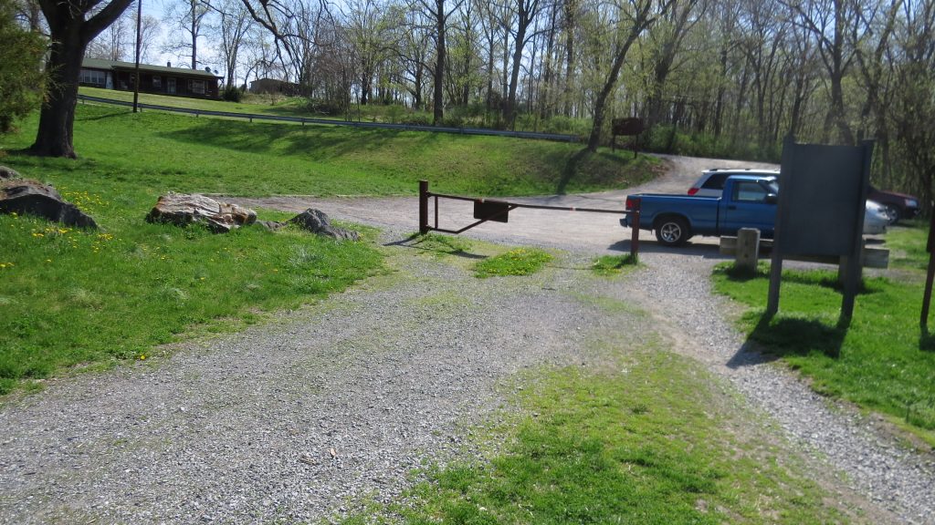
Four Locks Parking
Large lot off Starliper Road, near Lock 49 and Lockhouse 49, which is available for overnight stays through the Canal Quarters program.
Four Locks Restrooms
Four Locks Picnic Tables
Four Locks Boat Ramp
School House
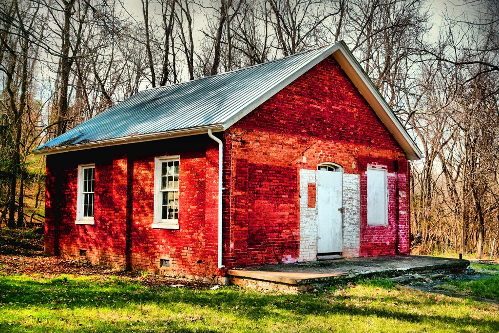
From 1877 to 1943, the School House at mile marker 109 taught thirty children in eight grades. With no heat, electricity, or indoor plumbing, the School House is a stark […]
Mule Barn
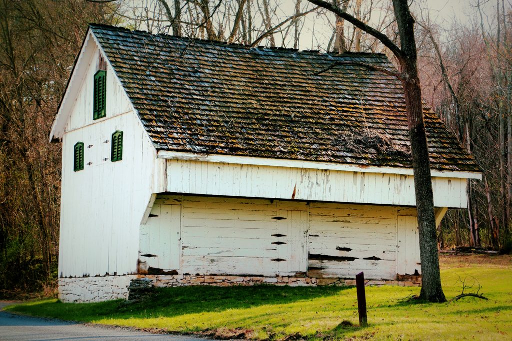
At mile marker 109, two hundred feet upstream on the berm side, sits a mule barn used to house mules during the winter months when the canal was closed. The […]
Watch House
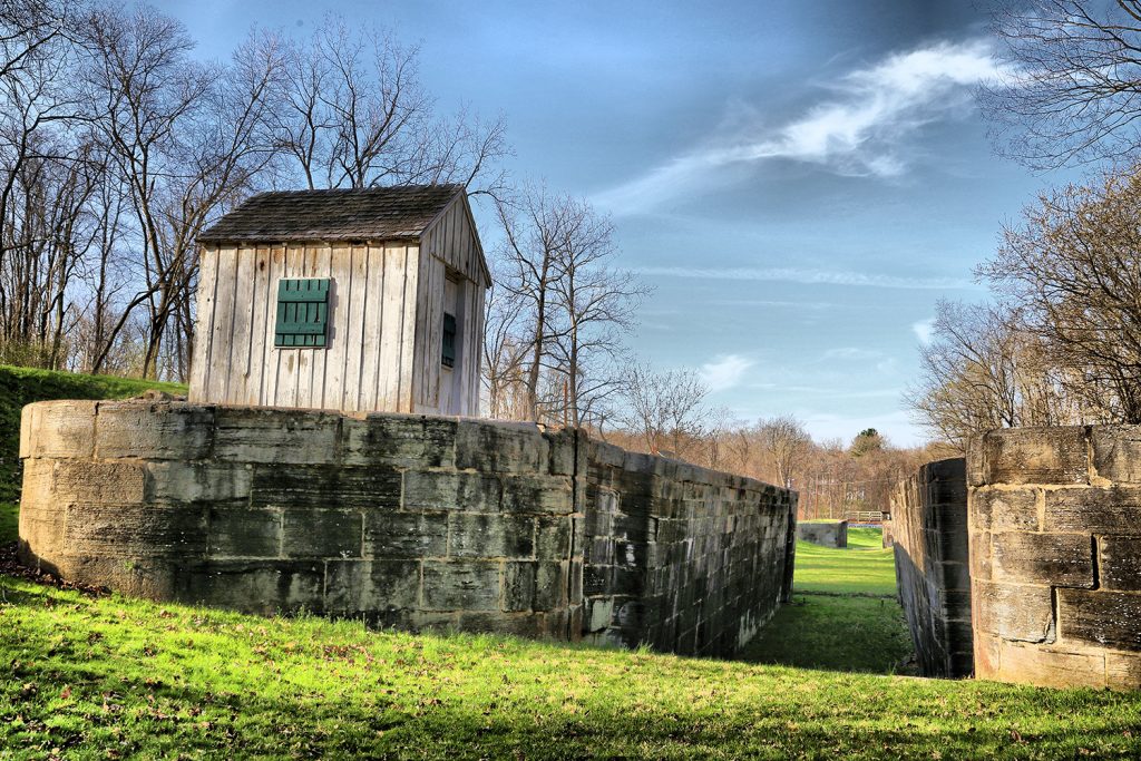
The only Watch House left standing on the Canal is on the upstream berm side at the end of Lock 50. This house allowed a safe-haven from weather for lock […]
Lockhouse 49: Canal Quarters
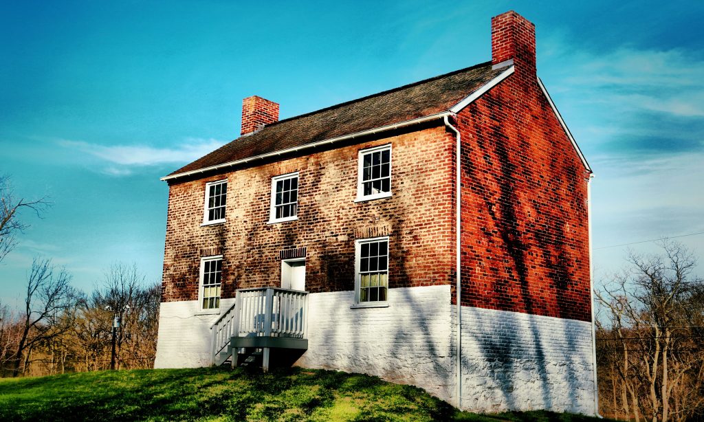
Lockhouse 49 is part of the Canal Quarters program and is available for overnight stays! You and up to 7 friends can spend up to three nights here, experiencing life on […]
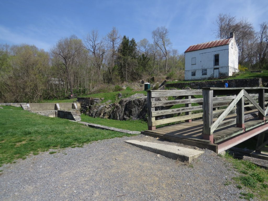
Lock 50
Lock 49 and Four Locks
By Ranger Lisa: Walking through Four Locks, I am reminded of my childhood growing up in the Army. Each new post introduced me to a new close-knit community, new friends, […]
Lock 48
Lock 47
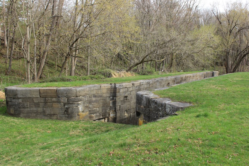
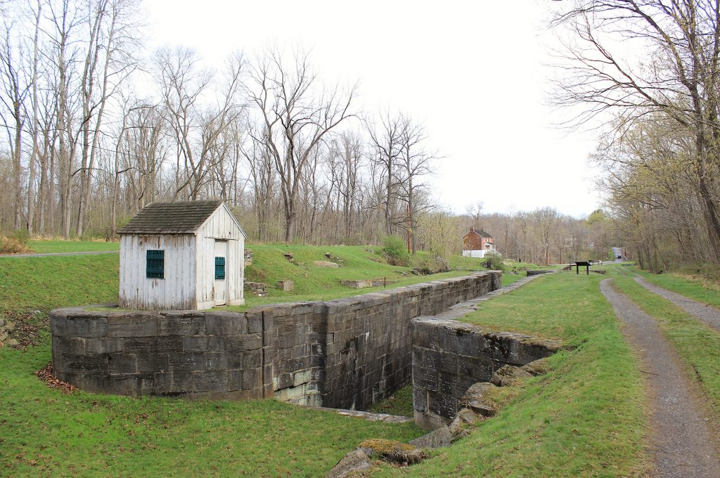
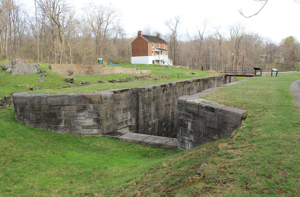
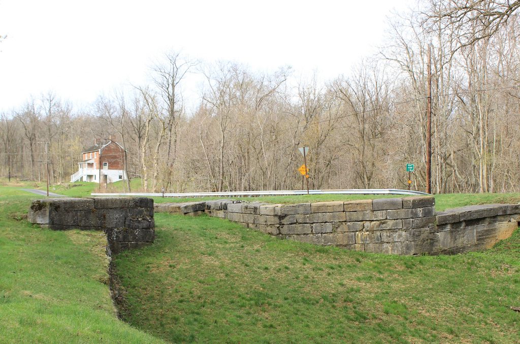
Four Locks
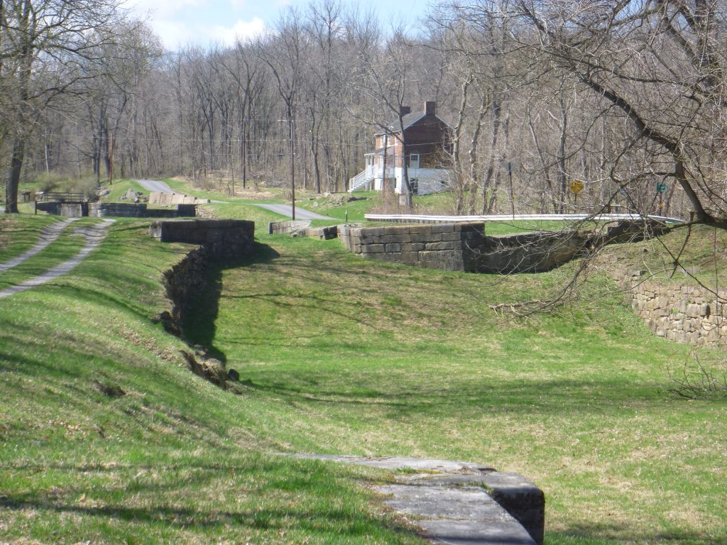
Built between 1836 and 1839, these four locks (47, 48, 49 & 50) are made of blue-gray limestone from Prather’s Quarry. Together raising the canal approximately 32 feet, boats could […]
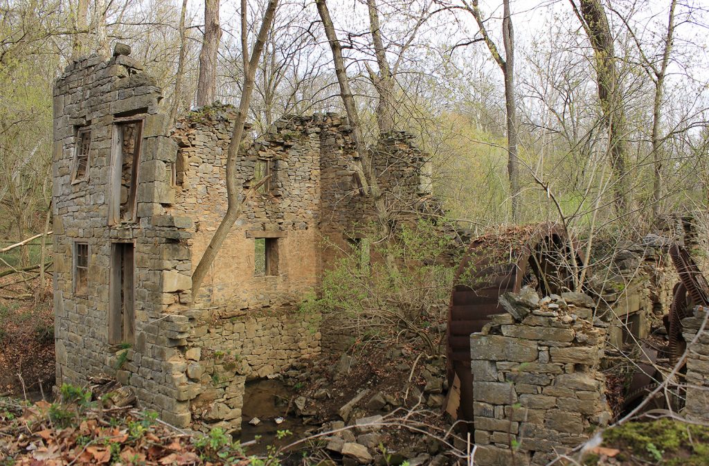
Charles Mill
Lock 46 Parking
Small lot off Ashton Road, near Lock 46.
Lock 46
Lock 45
Dam 5 Parking
Limited parking along road off Dam Number 5 Road, near Dam 5 and Lock 45.
Dam 5 Restroom
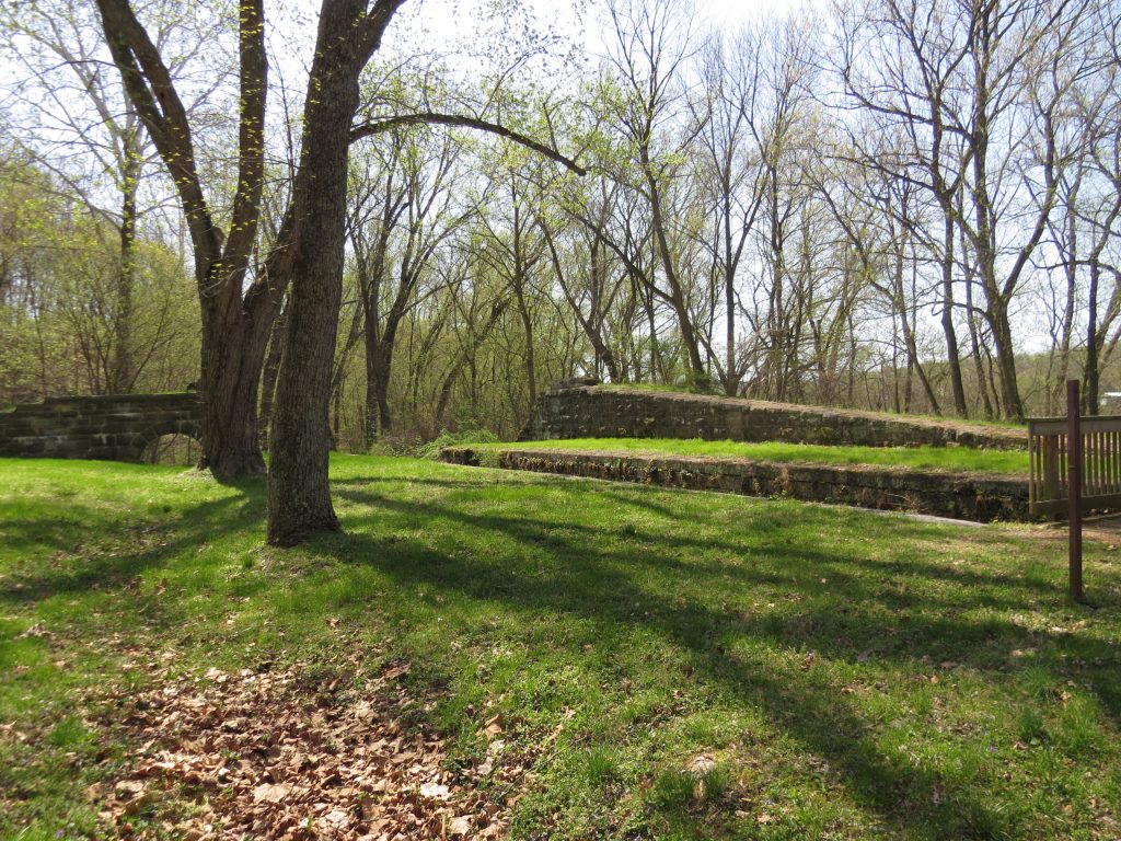
Dam 5/Guard Lock
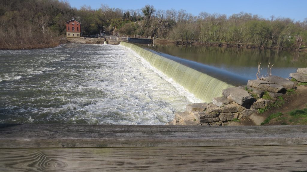
Originally constructed of timber in 1835, Dam No. 5 was an important source of hydro power for millworks on the river. As soon as the dam was built, Edward Colston […]
Middlekauff’s Dam/Labor Riot
Upstream from the bridge over Little Conococheauge Creek is a stone dam providing a head of water for Middlekauff’s Mill. Near the dam is a hill where an ‘Irish Civil […]
Gift Road
Dirt road for last 10th of mile with parking near.