Lock 29 (Lander)
The lock itself is constructed of granite from the Patapsco and white flint stone from across the river in Virginia. It’s just a half mile downstream of the 100-foot long […]
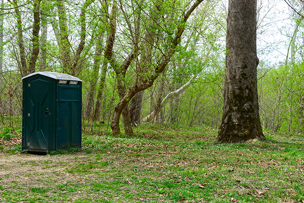
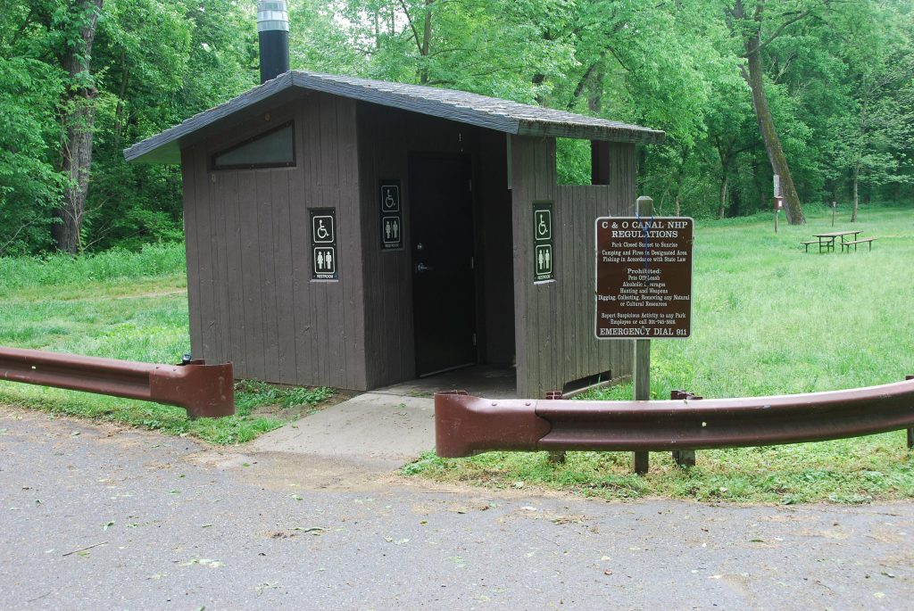
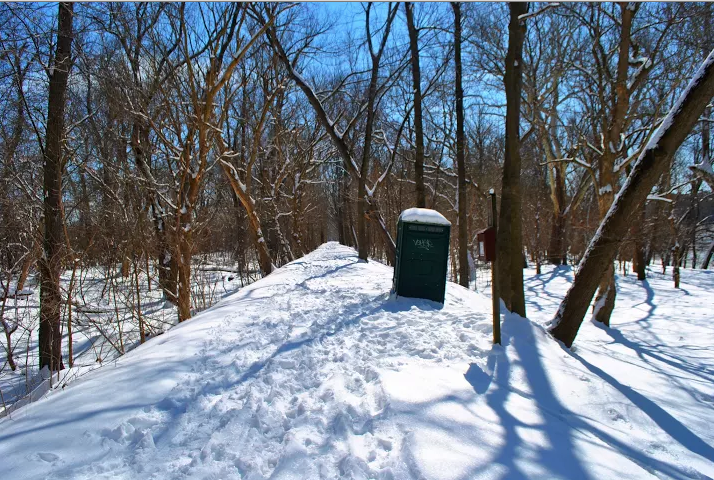
Bald Eagle Island Restroom
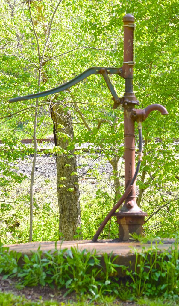
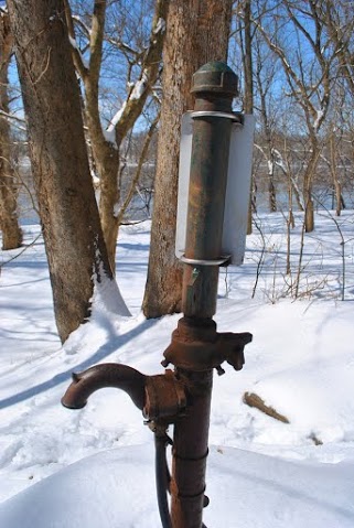
Bald Eagle Island Campsite Hand Pump
Please Note: Potable water may not be available at each campsite. Water is treated with iodine. Please plan to have water purification tablets with you. Water is turned off from […]
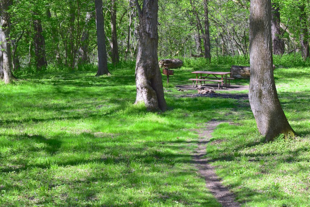
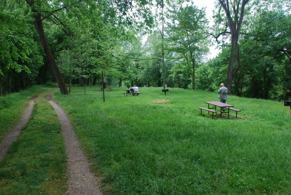
Bald Eagle Island Campsite
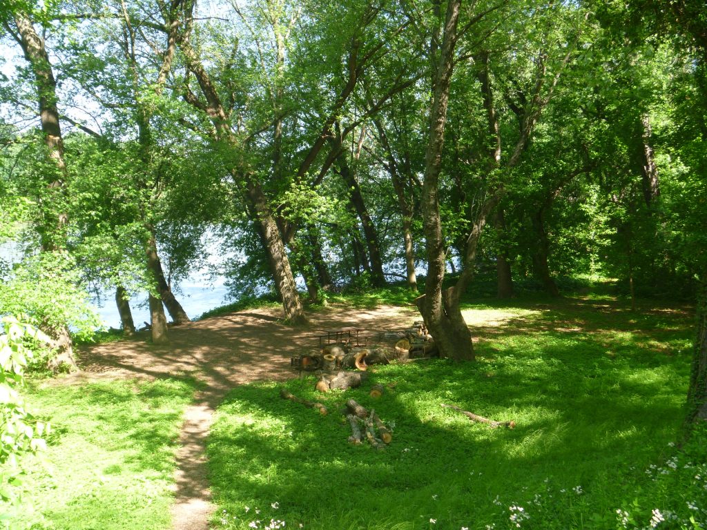
The Bald Eagle Island campsite is located just north of the narrow Point of Rocks section of the Potomac, a historic point of contention between the Canal and the B&O […]
Lockhouse 28: Canal Quarters
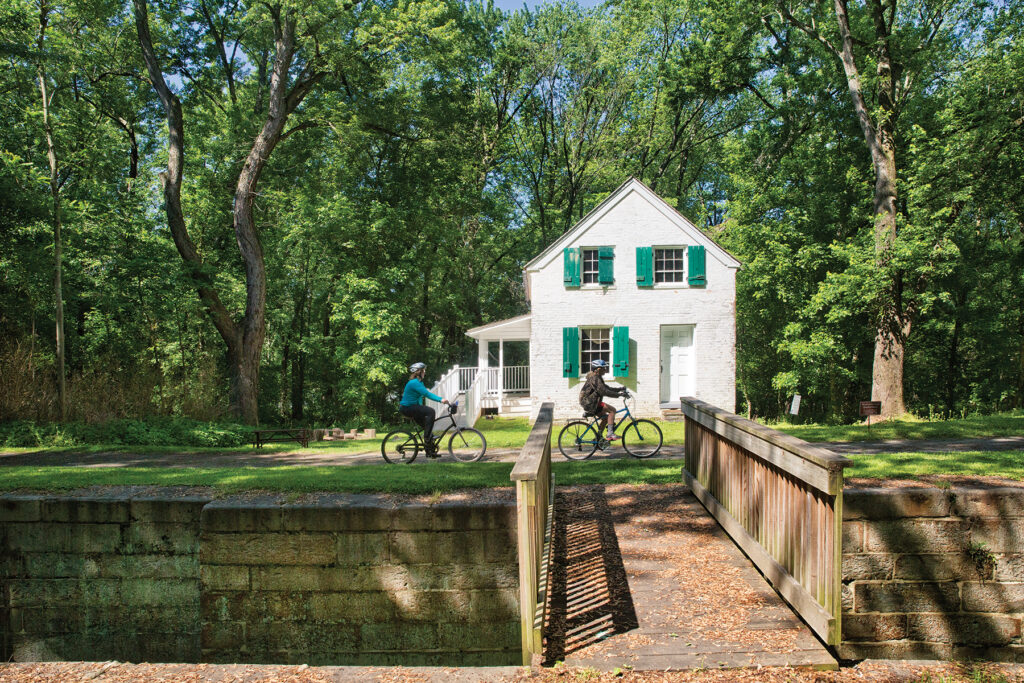
Lockhouse 28 is part of the Canal Quarters program and is available for overnight stays! You and up to 7 friends can spend up to three nights here, experiencing life on […]
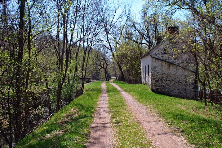
Lockhouse 28
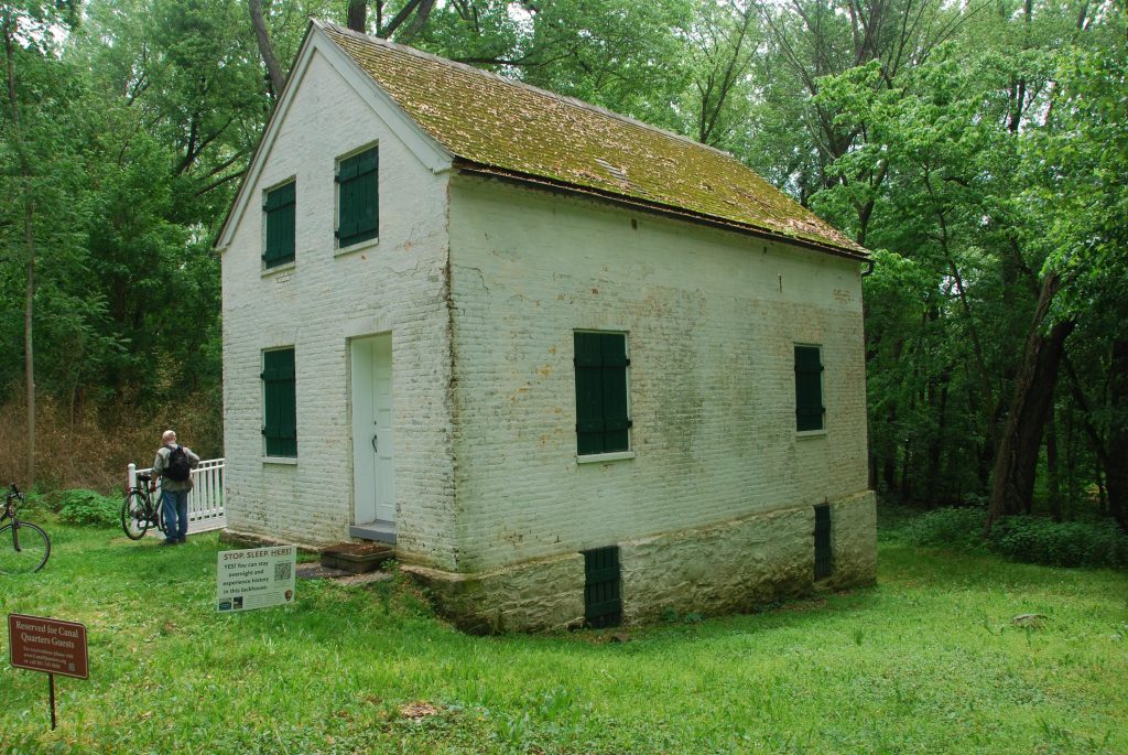
Lockhouse 28, located at Lock 28, is the most remote of all the Canal Quarters lockhouses, located nearly a half mile from the nearest parking. This rustic retreat was completed in […]
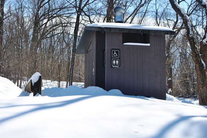
Point of Rocks Restroom
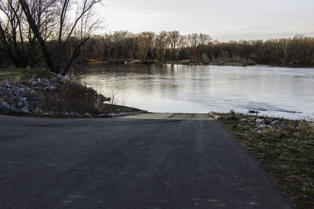
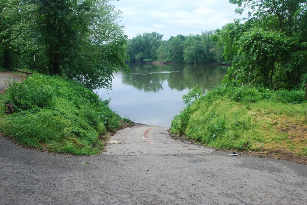
Point of Rocks Boat Ramp
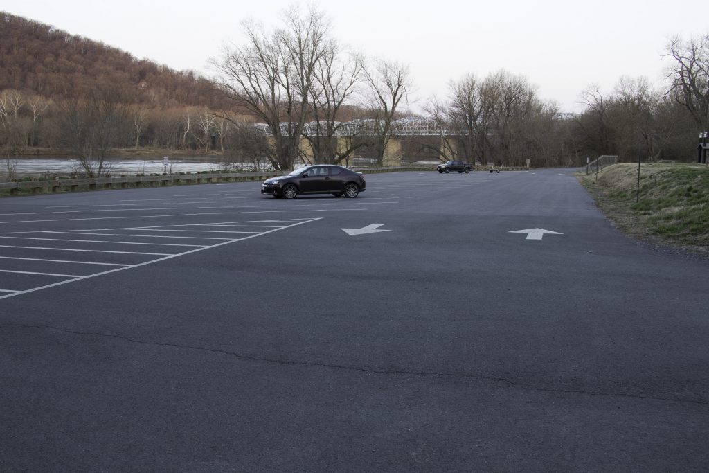
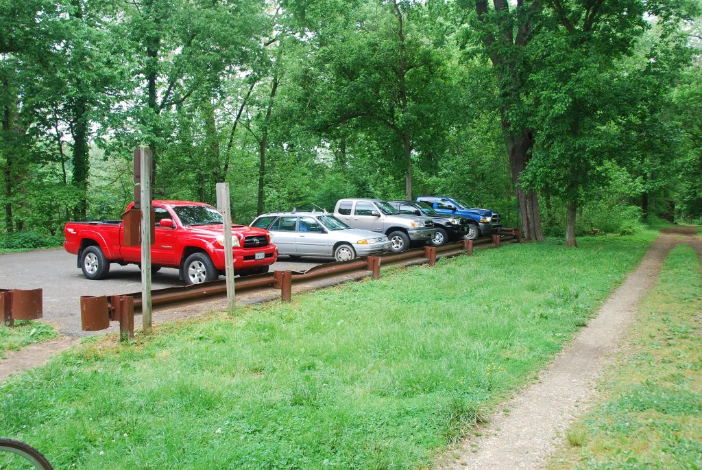
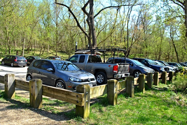
Point of Rocks Parking
Small lot off Commerce Street, near Point of Rocks, the Point of Rocks Tunnel, and towpath access. Also near Lockhouse 28, which is available for overnight stays as part of the Canal […]
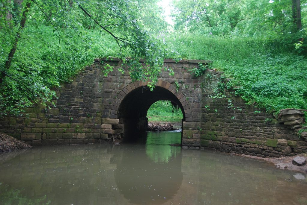
Point of Rocks
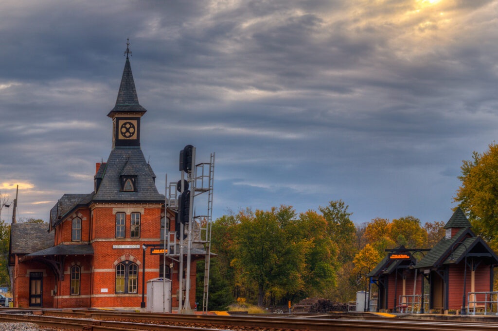
Point of Rocks, 14 miles south of Frederick, Maryland, has for centuries been at transportation crossroads, starting with the Native Americans who used the area for major river crossings, lodging, […]
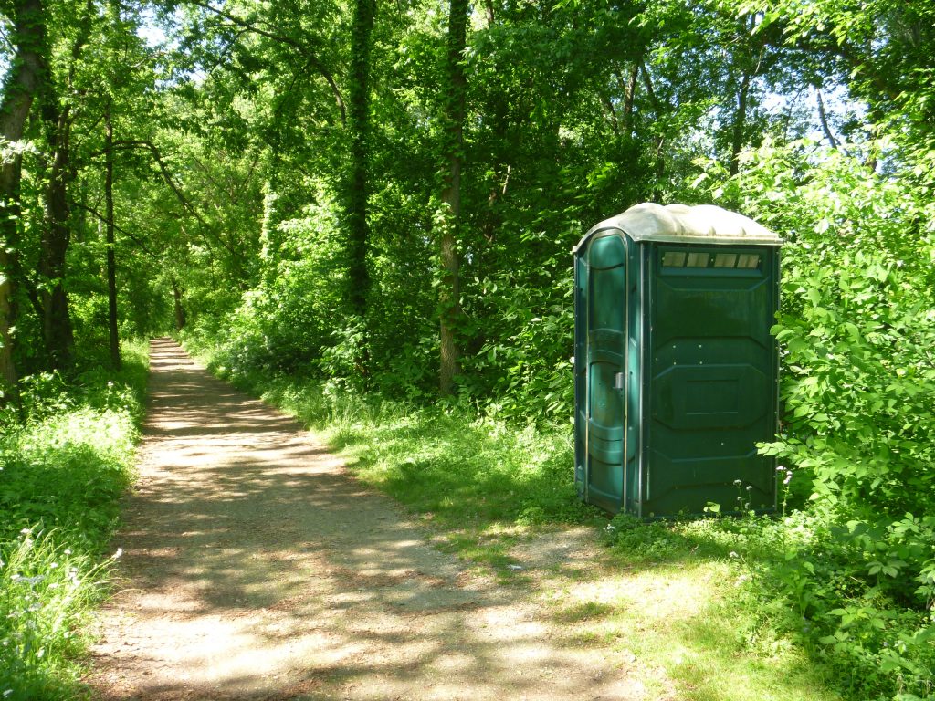
Calico Rocks Restroom
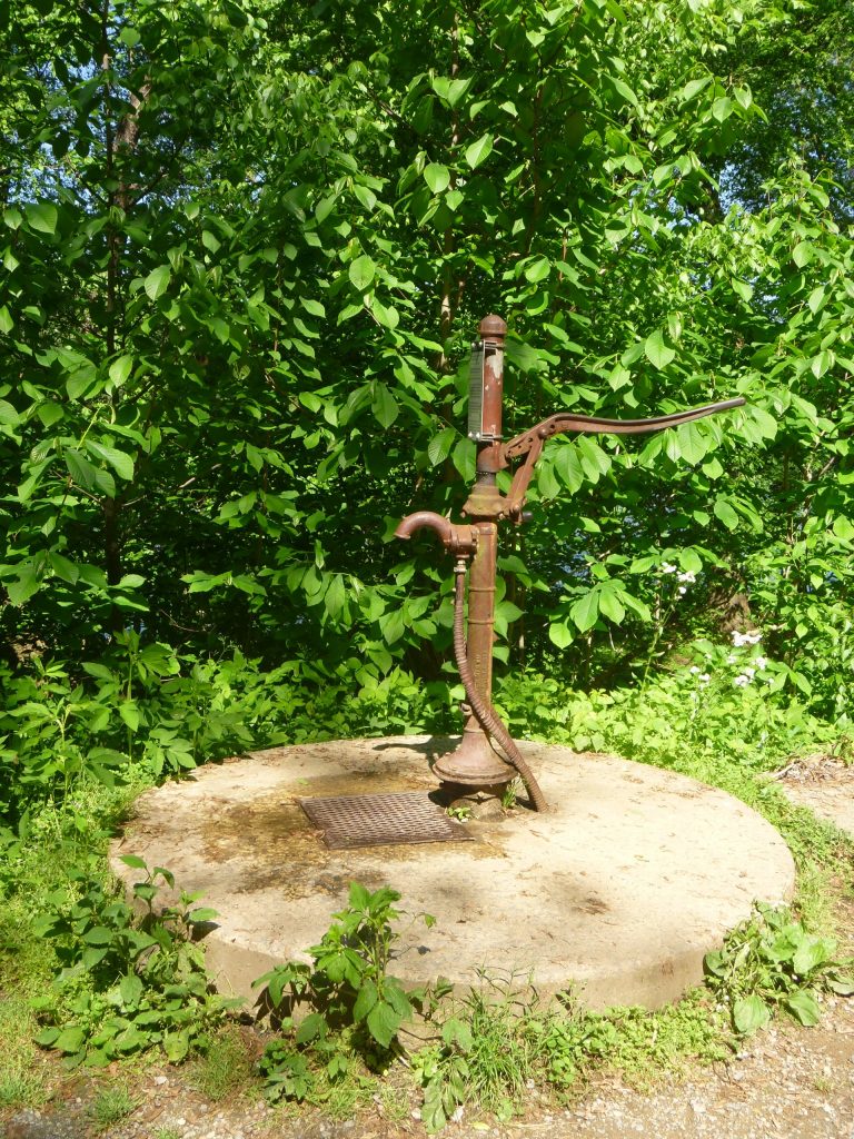
Calico Rocks Campsite Hand Pump
Please Note: Potable water may not be available at each campsite. Water is treated with iodine. Please plan to have water purification tablets with you. Water is turned off from […]
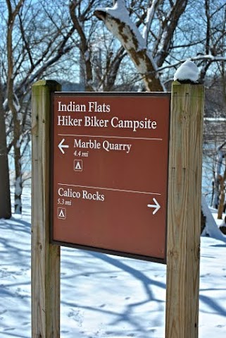
Calico Rocks Campsite
Calico Rocks was the name given to a type of composite stone found in this area. Sometime known as “Potomac Marble,” Calico Rocks was a jumble of pebbles mixed into […]
Kanawha Spring
Swiss nobleman Christoph Graffenreid was attracted to the “small lake with many springs” he found at these “enchanted islands in the Potomac River above the falls.” Archeologists have determined that […]
Tuscarora Feeder Canal
Tuscarora Creek was used to supplement the primary source of water for this section of the Canal, which was Dam No. 3 at Harpers Ferry. But the Canal company had […]
Nolands Ferry Parking
Small lot off New Design Road, near Nolands Ferry.
Nolands Ferry Restroom
Nolands Ferry Boat Ramp
Nolands Ferry
Before the United States was a nation, Nolands Ferry had already been established as a vital crossing on the Potomac. Ferry operations were licensed here as far back as 1735—connecting […]
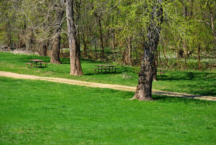
Nolands Ferry Picnic Area
Tuscarora Creek
Named for the Tuscarora Indians who once made their home here, this creek is the same one that fed the canal through the Tuscarora feeder upstream before being blocked by […]
Cheeks Ford
A little more than a mile above the Monocacy on the Potomac is the approximate location of Cheek’s Ford (also known as Chick’s Ford). One of several shallow sections of […]
Indian Flats Hand Pump
Please Note: Potable water may not be available at each campsite. Water is treated with iodine. Please plan to have water purification tablets with you. Water is turned off from […]
Indian Flats Restroom
Haulings Ford
Here, near the mouth of the Monocacy and the magnificent Monocacy Aqueduct, the water was shallow enough to cross over the Potomac into Virginia without a boat. Despite the spelling, […]
Indian Flats Campsite
A short distance north of the dramatic Monocacy Aqueduct, the Indian Flats campsite is a great stopover point for those who want to take a longer look at 516-foot stone […]
Monocacy Aqueduct Parking
Small lot off Mouth of Monocacy Road, near Monocacy Aqueduct, with access to towpath.
Monocacy Aqueduct Restroom
Monocacy Aqueduct Boat Ramp
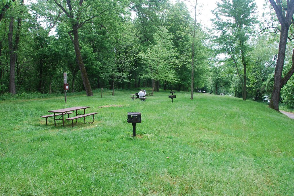
Monocacy Aqueduct Picnic Tables
Monocacy Aqueduct
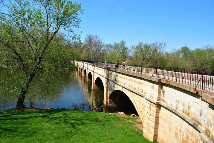
The eleven aqueducts along the C&O Canal are made from different stone – red sandstone, gray limestone, white granite, white and pink quartzite – each reflecting light differently. The Monocacy […]
Montgomery-Frederick County Line
Before the United States became a nation, Prince George’s County extended all the way from the Washington, D.C. line to the mountains. Problem was, prominent landowners who were settling farther […]
Lock 27, Spinks Ferry
Spink’s Ferry was an established Potomac crossing long before the Canal was built. Josias Clapham licensed the ferry way back in 1757. Because the approach to his ferry landing was […]
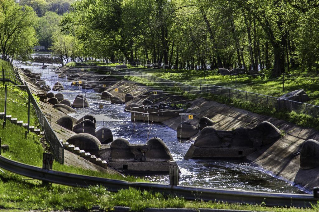
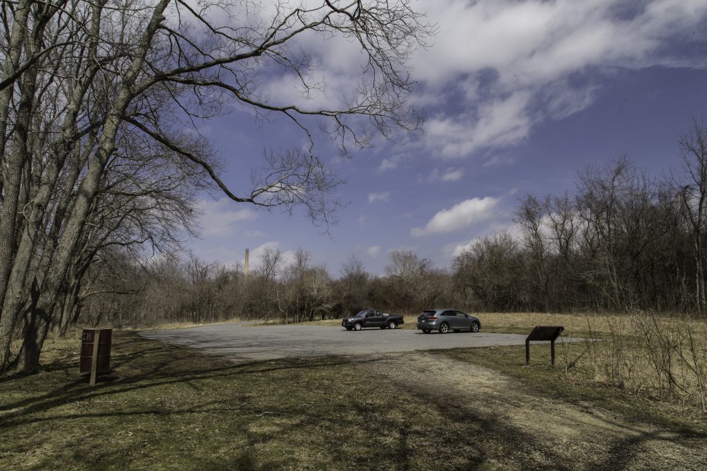
Dickerson Power Plant & Kayak Course
Take a good look beneath the towering smokestacks of the Dickerson Power Plant. Focus on the 900-foot, concrete lined discharge channel where 300,000 gallons of water per minute are borrowed […]
Dickerson Conservation Park
Dickerson Conservation Park provides opportunities for quiet enjoyment of the natural environment. The 304-acre park sits next to the Potomac River and the C&O Canal just south of the boundary between Montgomery […]
Dickerson Conservation Park Parking
Small lot off Martinsburg Road, near Dickerson Conservation Park.
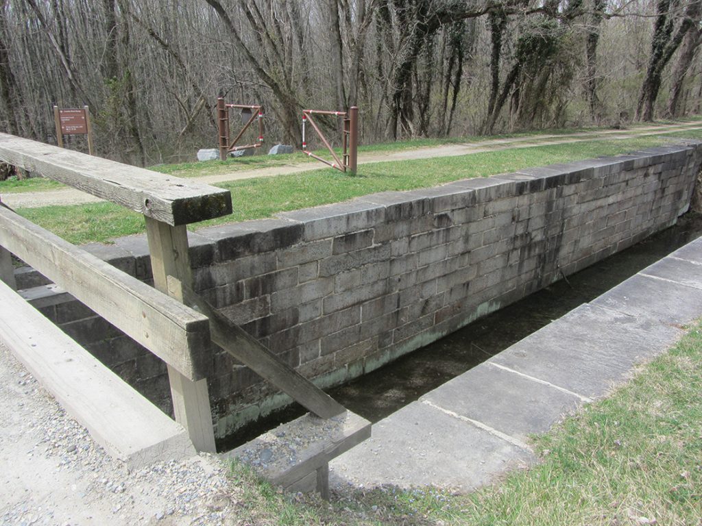
Lock 26 (Woods Lock)
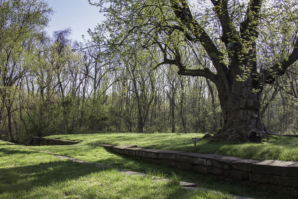
Lock 26 has aged beautifully. It is currently filled in, to keep its empty walls from collapsing into a pile of stones. The stone foundation of its house has been […]
White’s Ferry
White’s Ferry is a one-of-a-kind on the Potomac River. It is the last operating ferry on the river, transporting vehicles, cyclists and pedestrians from Maryland across to the Leesburg area […]
Marble Quarry
The challenges of moving marble from the Marble Quarry to a re-building Washington in the early part of the 19th century demonstrated exactly how valuable the C&O Canal would be. […]
Marble Quarry Restroom