
Terminus
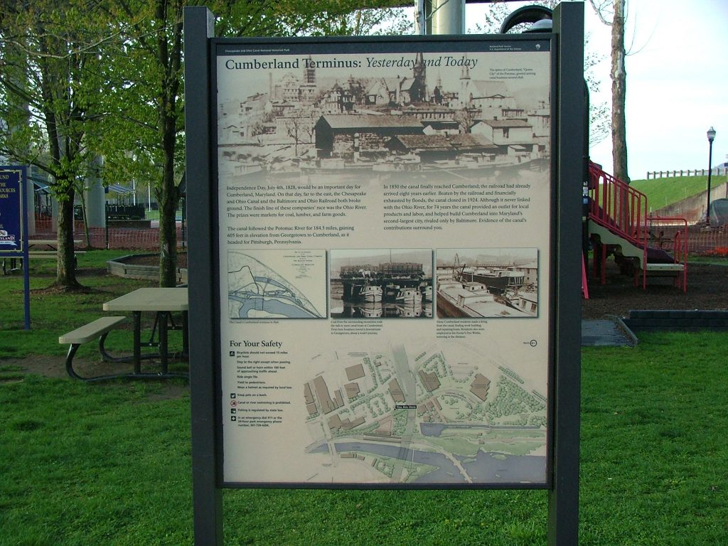
Cumberland may be the end of the C&O Canal, but it was also once known as the “Gateway to the West.” The Potomac River cuts through the mountains in and […]
Shrivers Basin and Main Basin
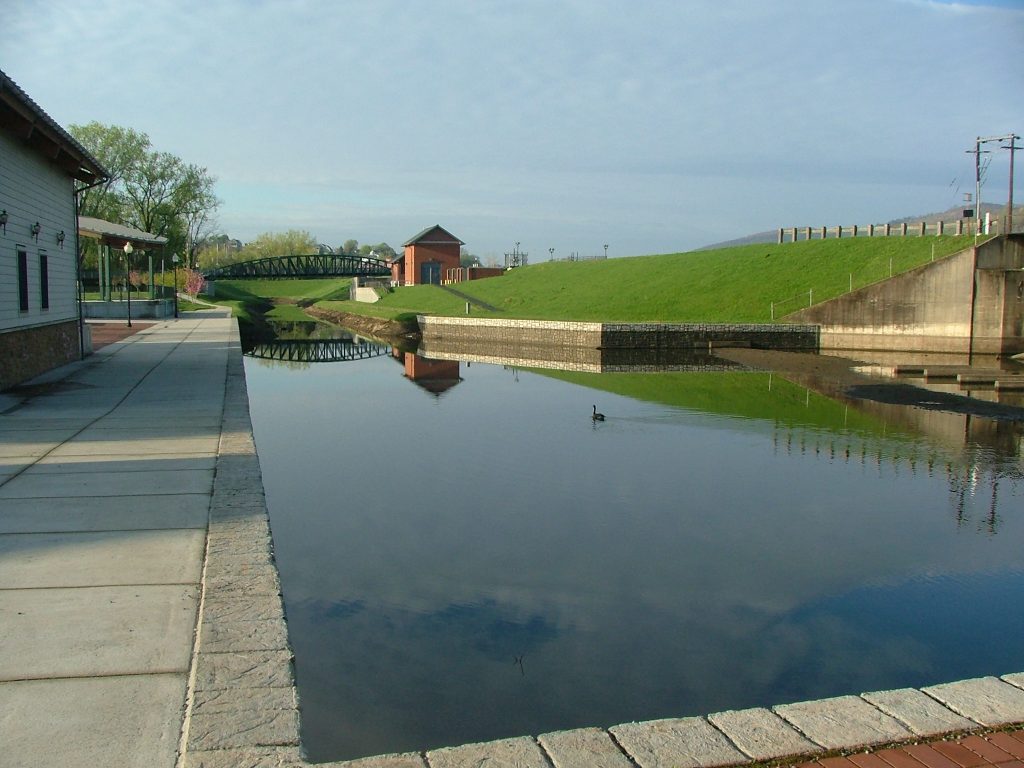
Near downtown Cumberland, the Canal divided into two elongated turning basins for boats: Main Basin and the broader Shriver Basin. Shriver Basin angled inland from the dividing spot and Main […]
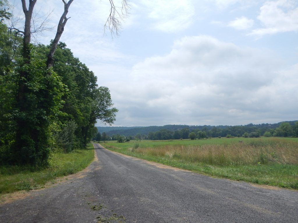
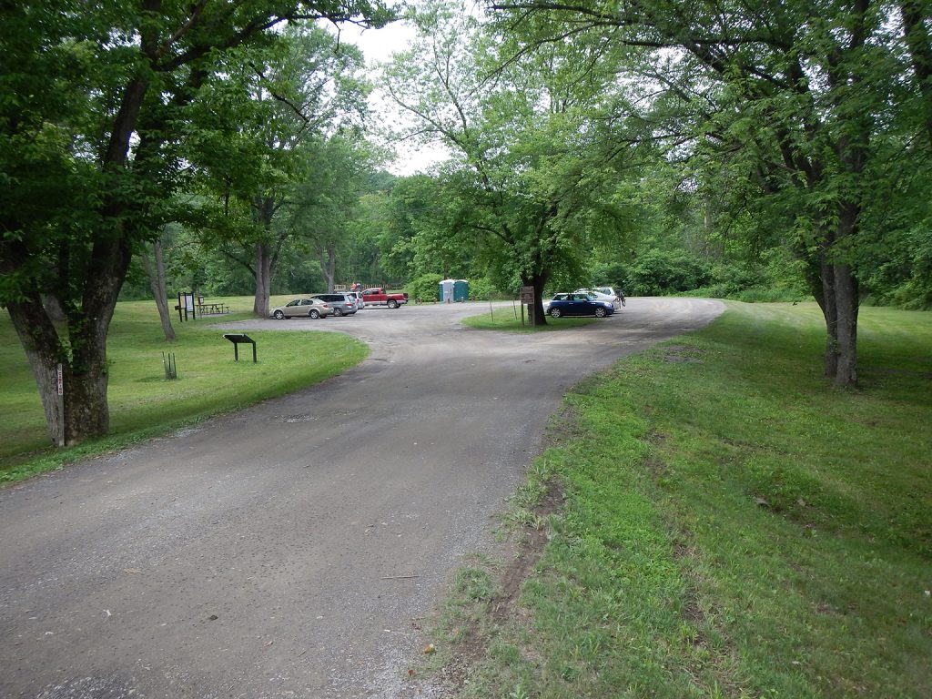
Candoc Recreation Area Parking
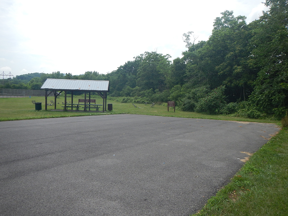
Small lot off Candoc Lane, near Candoc Recreation Area.
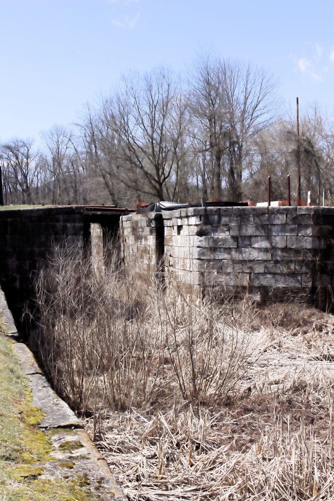
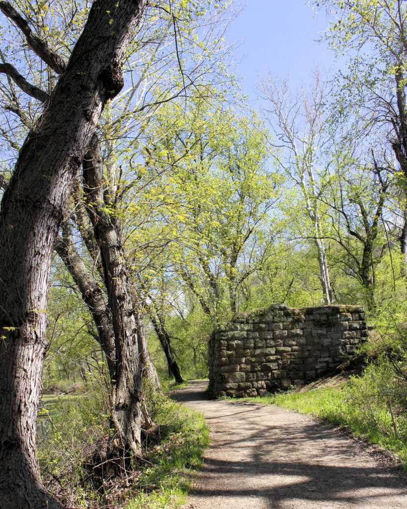
Evitts Creek Aqueduct
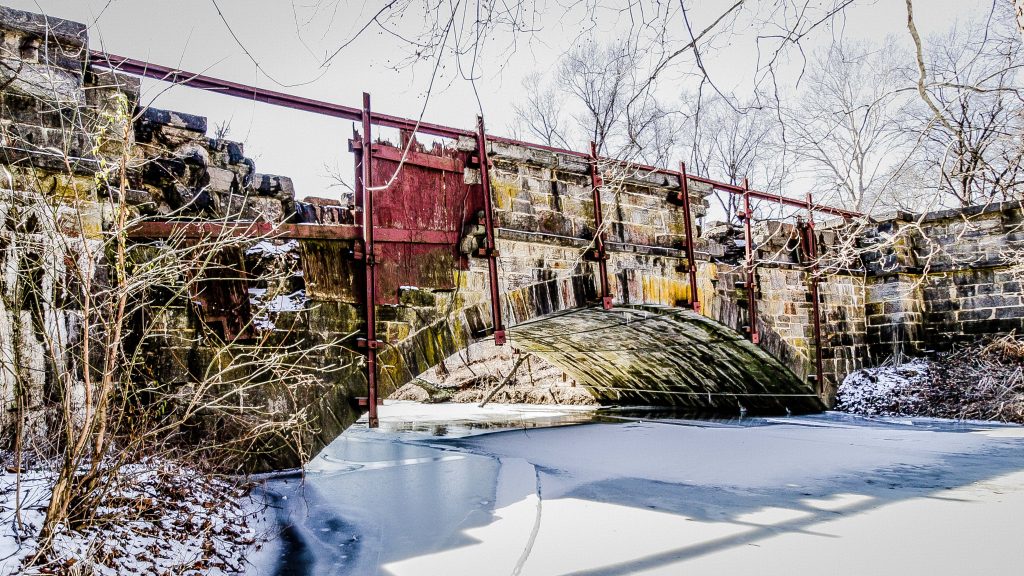
The Evitts Creek Aqueduct is the last of the 11 aqueducts on the Canal, and is made of “Fossilferous Tonoloway Limestone” quarried upstream and shipped to the aqueduct via a […]
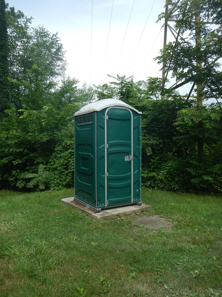
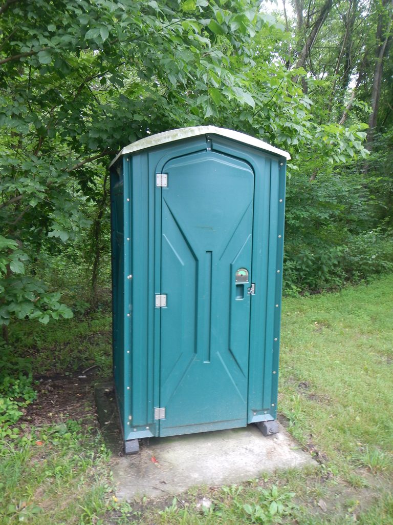
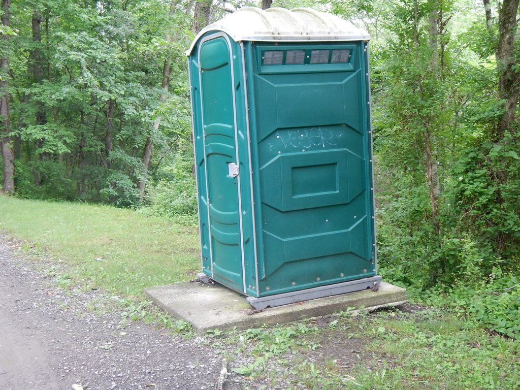
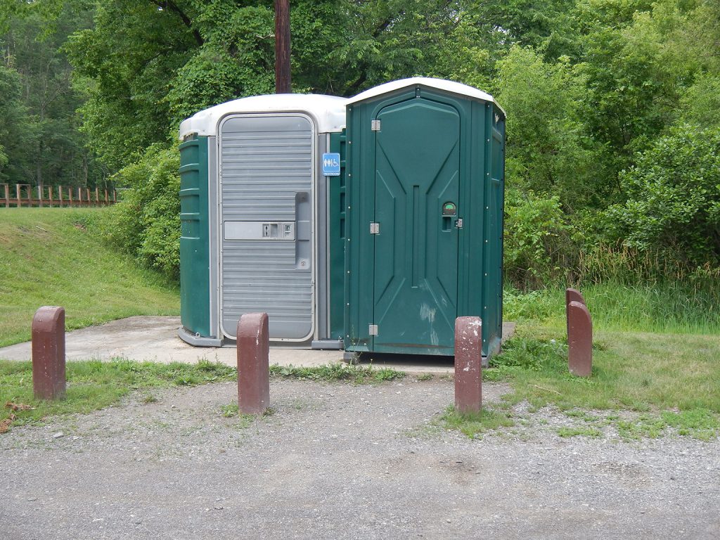
Evitts Creek Restroom
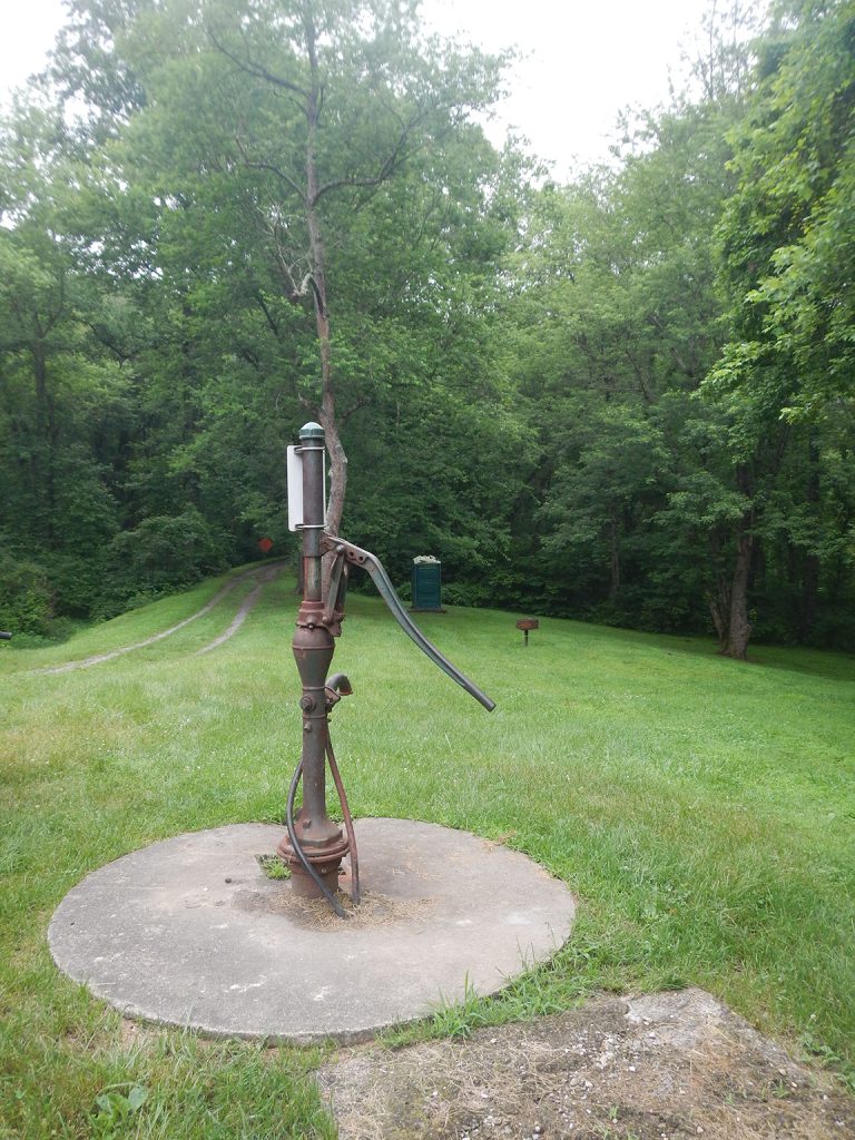
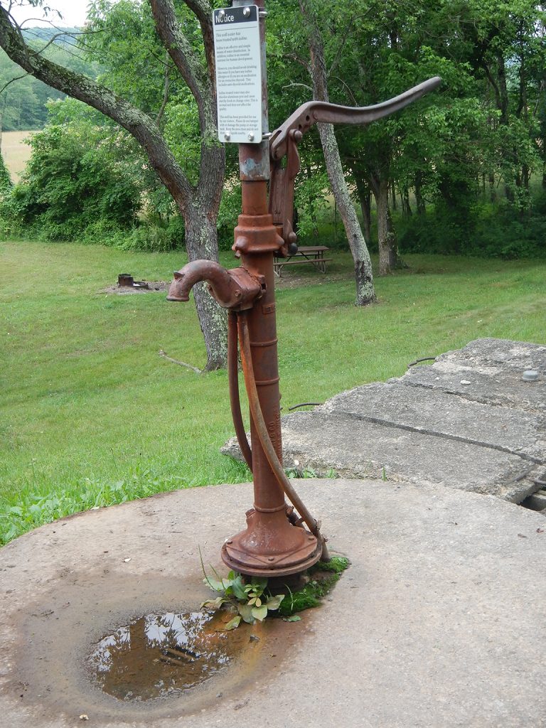
Evitts Creek Campsite Hand Pump
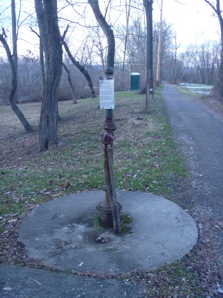
Please Note: Potable water may not be available at each campsite. Water is treated with iodine. Please plan to have water purification tablets with you. Water is turned off from […]
Evitts Creek Campsite
Please visit the C&O Canal National Historical Park’s website for detailed camping information, or you can call 301-739-4200 with any questions. Site reservations can be made via the Recreation.gov website.
Brehm Road Parking (on shoulder near canal)
Parking on shoulder near the Canal off of Brehm Road SE.
Mexico Farms Parking
Small lot off Mexico Farms Road SE.
River Road Parking
Small lot off River Road SE.
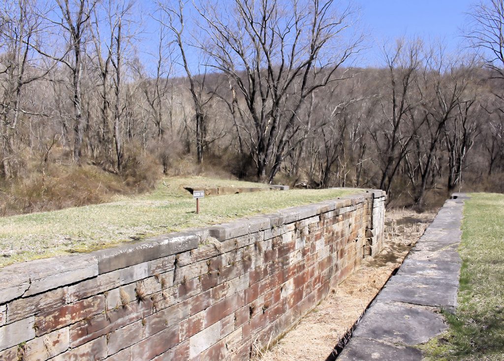
Lock 75 Parking
Small lot off River Road SE, near Lock 74 and Lock 75.
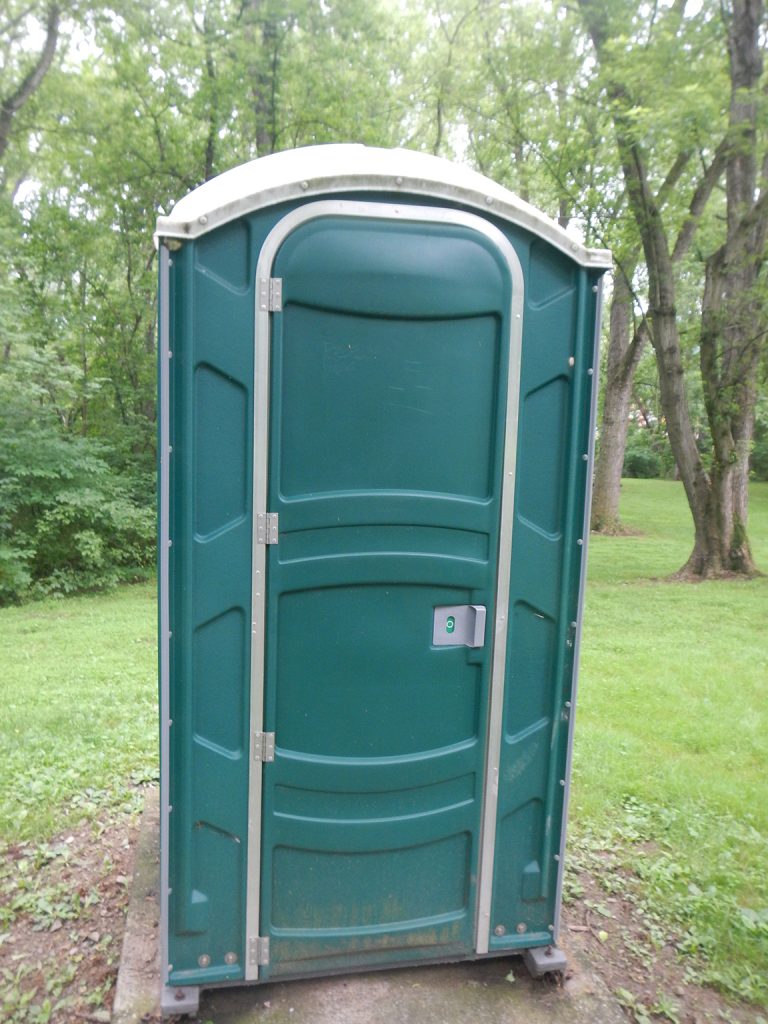
Lock 75 Restroom
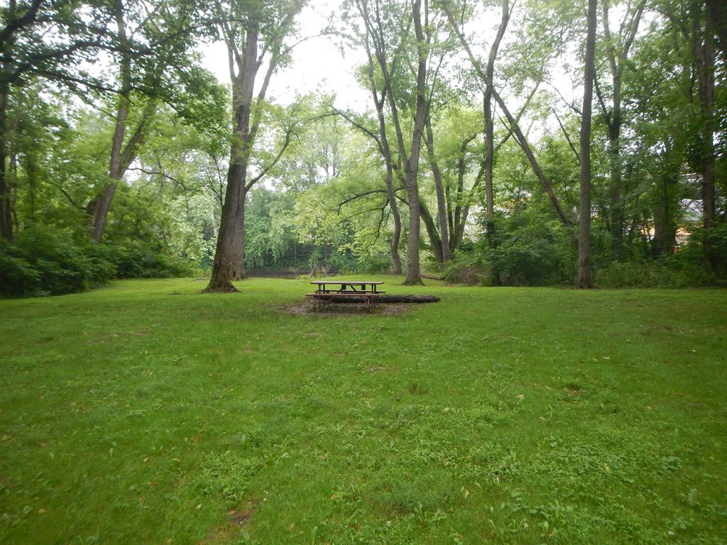
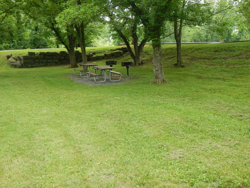
Lock 75 Picnic Tables
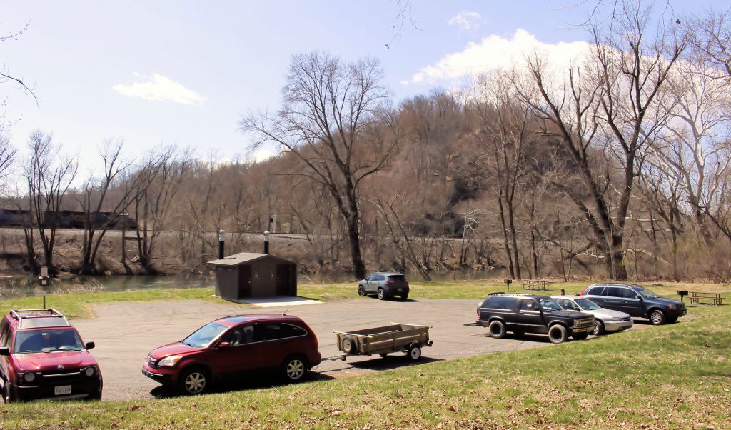
North Branch Recreational Area
Just beyond the B&O trestle overhead, a picnic and recreation area is accessible by vehicle on River Rd SE. For most of the length of the Canal west of Harper’s […]
Irons Mountain Restroom
Irons Mountain Campsite Hand Pump
Please Note: Potable water may not be available at each campsite. Water is treated with iodine. Please plan to have water purification tablets with you. Water is turned off from […]
Irons Mountain Campsite
The Irons Mountain Ridge is the Canal’s last formidable ridge to navigate as it makes its way toward Cumberland. The campsite is upstream about a mile from the Narrows, the […]
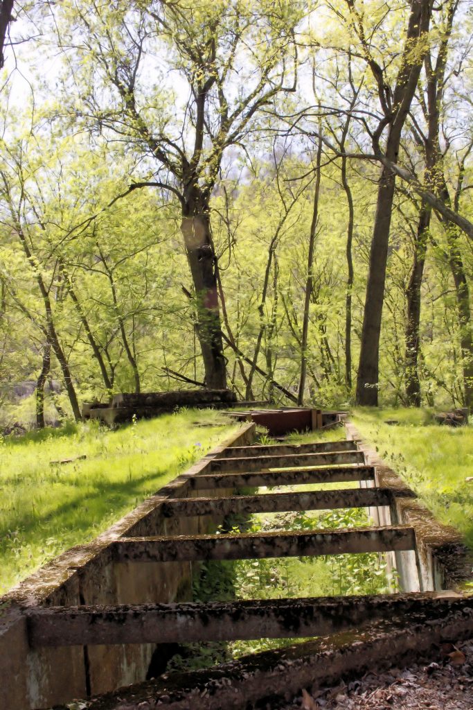
Steam Pumping Station
Blue Spring
Blue Spring is one of the largest springs east of the Mississippi. Crystal clear, blue water flows from the spring into the Potomac River.
Lock 75
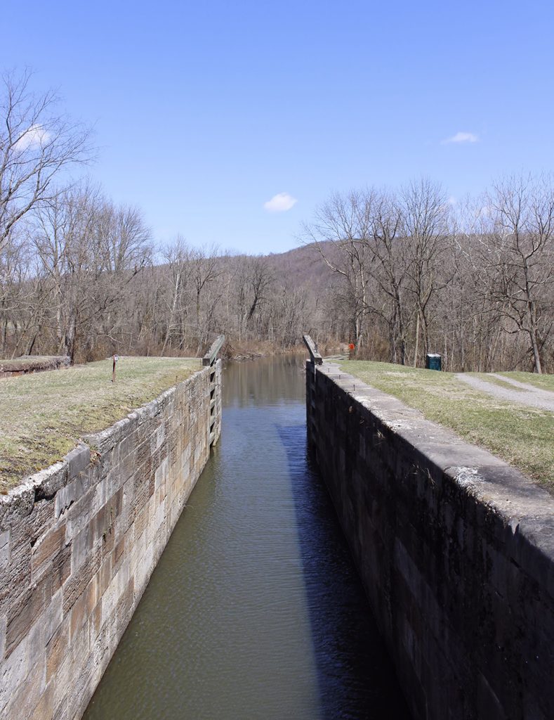
Lock 75 is the last lift lock on the C&O Canal. This lock has a lift of 10′ and has a total lift of 609.193′ above the Georgetown tide lock.
Lock 74
Lock 74 was completed in 1841 and later rebuilt in 1869. This is one of the few locks along the canal that has a 10′ lift as opposed to the […]
Lock 73
Lock 73 sat in an area referred to as “The Narrows” during canal days. “The Narrows” is an area along the canal where the canal, highway, and railroad are squeezed […]
Lock 72
Lock 72 was finished in 1841 and it was constructed of stone from the nearby quarry as opposed to the 13 composite locks before it. In the days that the […]
Patterson Creek
Here sit stone abutments on both sides of the river – the remnants of the Patterson Creek bridge that crossed the river to the town of Patterson Creek. The bridge […]
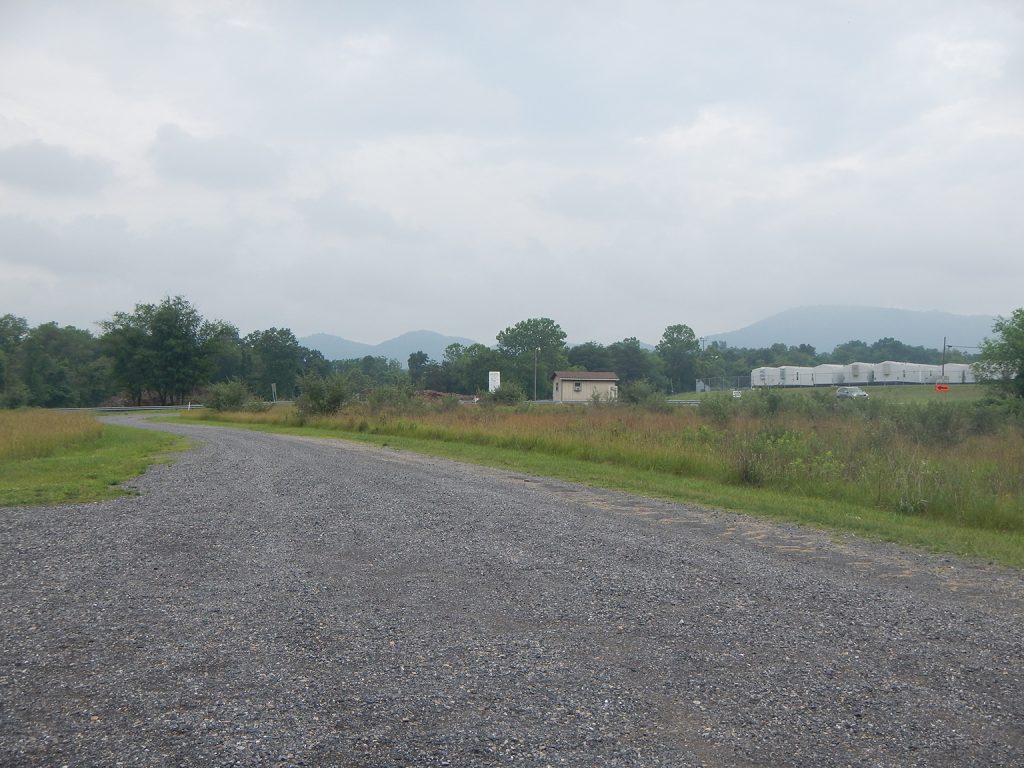
Spring Gap Parking
Small lot off Oldtown Road SE, near Spring Gap Drive-in Campground.
Spring Gap Picnic Tables

Spring Gap Boat Ramp
Spring Gap

Located just over six miles apart in Western Maryland, the communities of Spring Gap and Oldtown today have a combined population of just under 150 people. Native American settlements in […]
Spring Gap Drive-in Campground
Even before the Canal came along, Spring Gap served as a shallow river-crossing accessing the Patterson Creek area of what is now West Virginia. It’s just as popular more than […]
Pigmans Ferry Restroom
Pigmans Ferry Campground Hand Pump
Please Note: Potable water may not be available at each campsite. Water is treated with iodine. Please plan to have water purification tablets with you. Water is turned off from […]
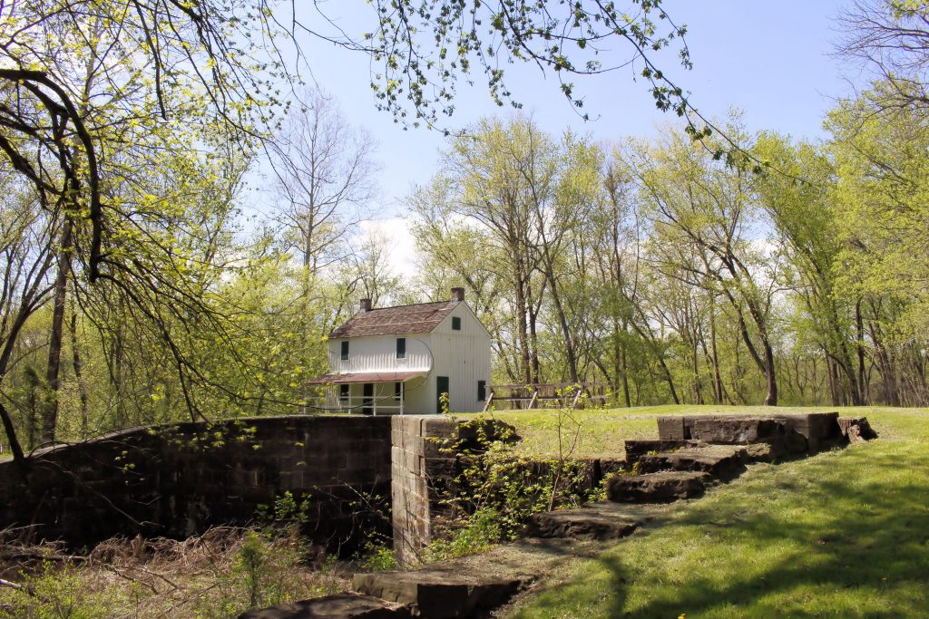
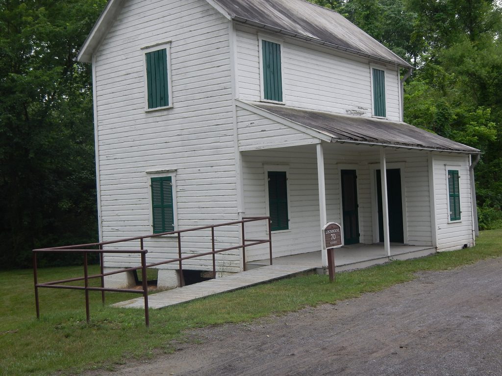
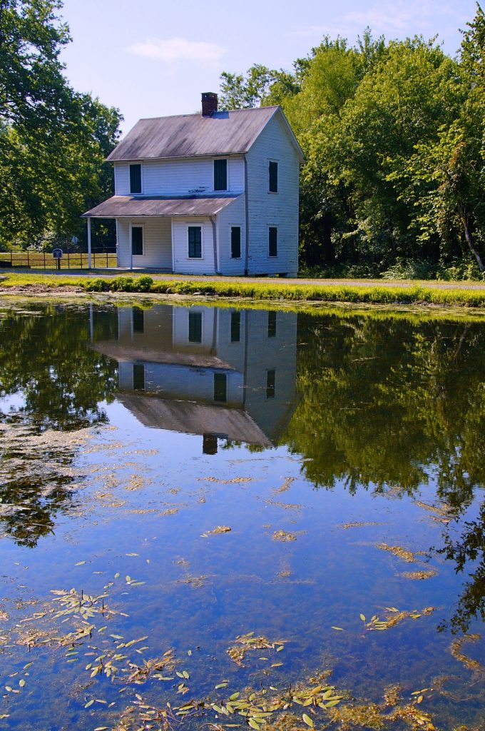
Lockhouse 70
Pigmans Ferry Campground
The name of this campsite is somewhat misleading. The site of the actual ferry is more than a mile and a half upstream and the campsite itself is not on […]
Oldtown Parking
Small lot off Green Spring Road SE, near Oldtown, Lock 70, and Lockhouse 70.
Oldtown Restroom
Oldtown Picnic Tables
Oldtown
By the time the Chesapeake and Ohio Canal arrived in Oldtown, Maryland, the small town had already seen its share of history. Early Native American settlements in the area date […]
Thomas Cresap Gravesite and Ginevan House
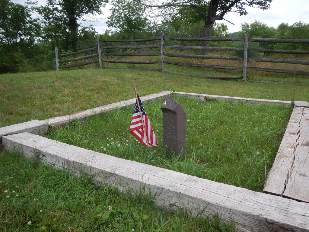
Thomas Cresap died in 1787 and was buried here, overlooking Lock 70. This land was later owned by the Ginevan family, who built an impressive Victorian home on the land, […]
Michael Cresap House
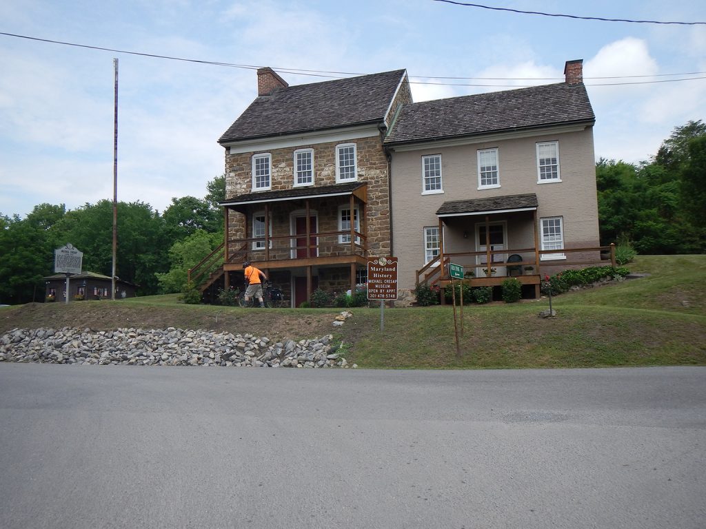
Built in 1762, Thomas Cresap with his 20-year-old son Michael built this house. Michael died 13 years later, but Thomas lived into his nineties. The house is one of the […]
Lock 71
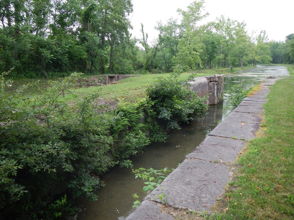
Lock 71 is in better condition than most locks along the Canal considering it is the last of the composite locks. It was built mainly of stone but the lock […]