A New Deal on Life
By Ranger Kelly
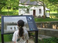
Lockhouses:
Lockkeepers:
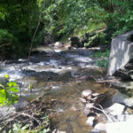
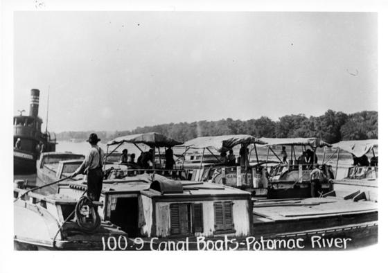
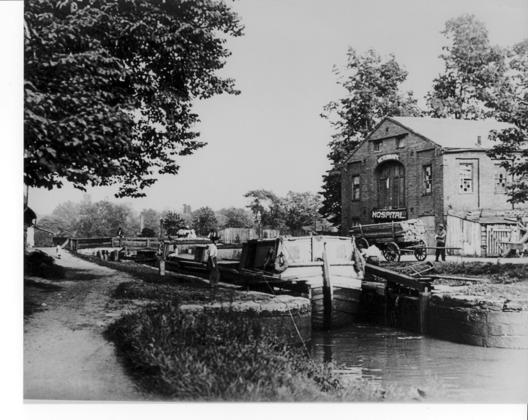
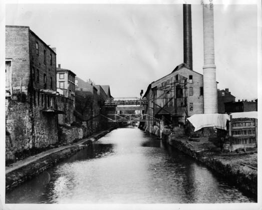
My favorite canal stories involve canal's continuous reinvention of itself. For example, when it became clear that the railroad was far superior to the canal in connecting the Chesapeake Bay to the Ohio River, the C&O Canal Company stopped construction in Cumberland in 1850 and began running as a coal transportation company, moving the rich Cumberland coal down to the growing industrial center in Georgetown. The C&O Canal Company ran as such until 1924.
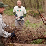
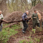
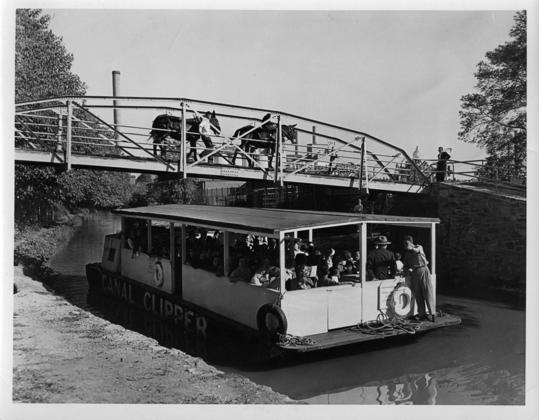
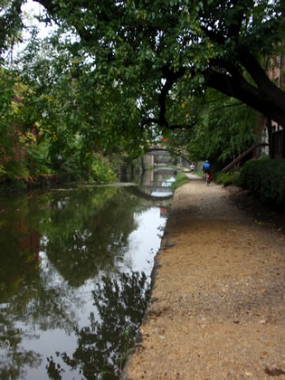
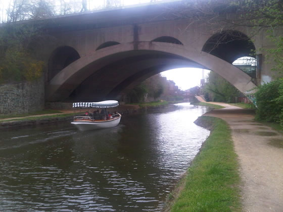
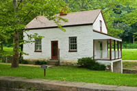
The Canal got a new lease on life again in the 1930s. When talk started on what to do with the abandoned canal, many people saw it as a perfect project for President Roosevelt's New Deal. Following the Great Depression, the New Deal created programs to put people back to work, improve infrastructure, and reinvigorate the economy. Two African American camps of Civilian Conservation Corps (CCC) workers were set up along the canal near Carderock. The CCC workers, and people working through other New Deal programs, improved the towpath, fixed locks, rewatered the first 22 miles, and refurbished several buildings along the canal, including Lockhouse 10. It was the first of many conservation efforts along the canal. These conservation efforts started a precedent for rehabilitating the canal for visitors interested in hiking, biking, kayaking and history exploration.
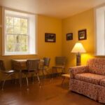
Lockhouse 10 has a "New Deal" again. The latest conservation effort is called Canal Quarters. The National Park Service, along with its partner, the Canal Trust, are rehabilitating several lockhouses including this one, and opening them to the public for overnight stays. Each house represents a different time period in the canal's history. I had the privilege of working on Lockhouse 10, which has been brought back to the 1930s when the CCC rehabilitated it. All of the furnishings and accoutrements are indicative of the 1930s, down to the family games in the living room. There are also many interpretive panels and a scrapbook inside to tell the story of the CCC and their work.
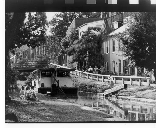
If you would like to experience this pivotal time in the C&O Canal's history, spend a night in Lockhouse 10. You might just find the inspiration necessary to reinvent yourself. Visit www.canalquarters.org.
-
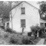
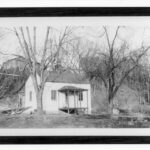
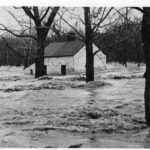
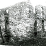
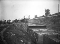
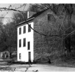
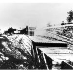
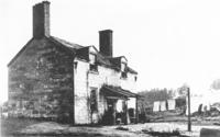
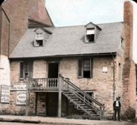
- 1938 photograph of Lockhouse 10 prior to the rehabilitation that would allow the house to be used as National Park Service housing for 60 years. Credit: National Park Service
-

- The kitchen of Lockhouse 10 has been refurbished to the way it may have looked in the 1930s at the time it was rehabilitated for ranger housing. Credit: Shaun Curtis
-
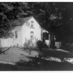
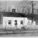
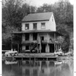
- Photograph taken during the time when Lockhouse 10 was used to house National Park Service Rangers. Credit: National Park Service
-
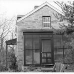
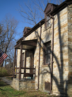
- View of the enclosed porch addition to Lockhouse 10. As a part of the rehabilitation of the lockhouse in the 1930s, upgrades such as indoor plumbing, modern heat and electricity were added. Credit: National Park Service
-
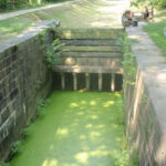
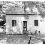
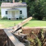
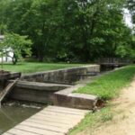
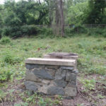
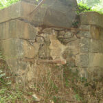
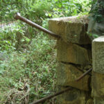
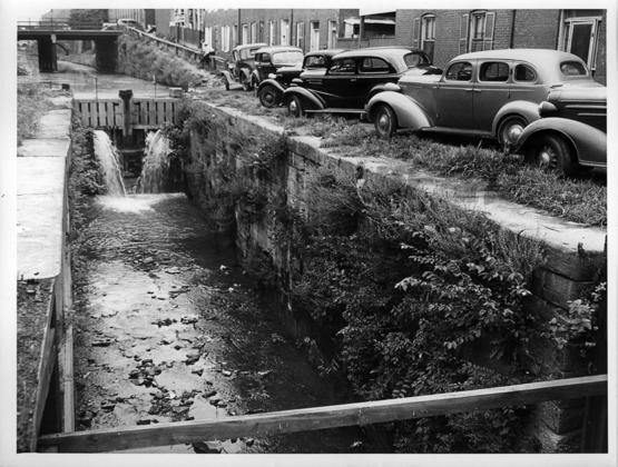
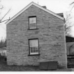
- Approximately half of the granite used at Lock 10 came from a quarry near Lock 7. Credit: C&O Canal National Historical Park
-
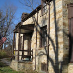
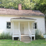
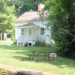
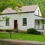
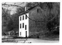
- Once used as ranger housing for the National Park Service, Lockhouse 10 is now open to the public for overnight stays through the C&O Canal Trust’s Canal Quarters program. Credit: C&O Canal National Historical Park
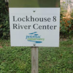
Lockhouse 10
Milepost 8.8
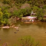
Carderock
Milepost 10.4
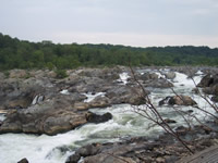
Great Falls
Milepost 14.1
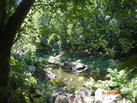
Plummers Island
Milepost 9
Lockhouse 6
Milepost 5.4